|
tommy750 Posts: 1071
9/10/2017
|
Drove out to McCain Valley yesterday for a dayhike. Went to the end of McCain Valley Rd and then just kept going. There's an abandoned dirt road heading north but it's pretty hard to follow. Was mainly cloudy and foggy with brief rain showers throughout the day but great to be out of the heat. The scenery sure has change out there.
McCain Valley Road, Now, there's a second row of power poles for the wind turbines.
 New McCain Valley Rd by tomteske, on Flickr New McCain Valley Rd by tomteske, on Flickr
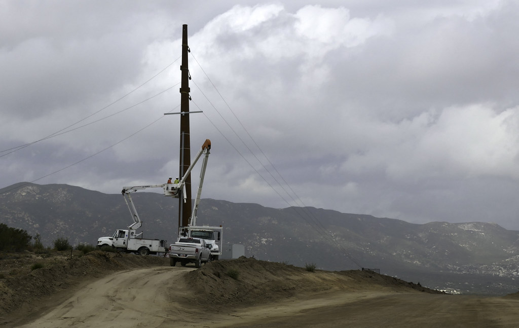 Pulling Wire by tomteske, on Flickr Pulling Wire by tomteske, on Flickr
The turbines are going up quickly. Already a bunch of towers in place behind Lark Canyon. Assuming everyone quit work when the thunderstorm rolled through...
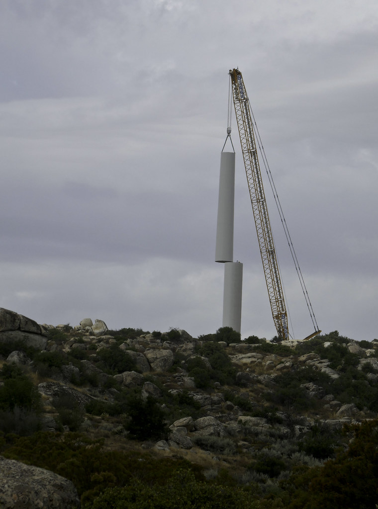 Turbine by tomteske, on Flickr Turbine by tomteske, on Flickr
Meandered up the valley till I got to the start of the steep descent into Canebrake. This is a from a rocky promintory overlooking Canebrake. Great expansive views.
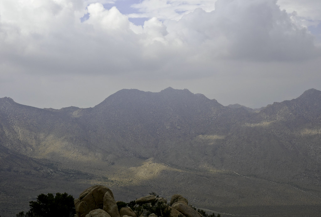 Canebrake by tomteske, on Flickr Canebrake by tomteske, on Flickr
Looking North up Canebrake. Pepperwood Canyon is in the foreground.
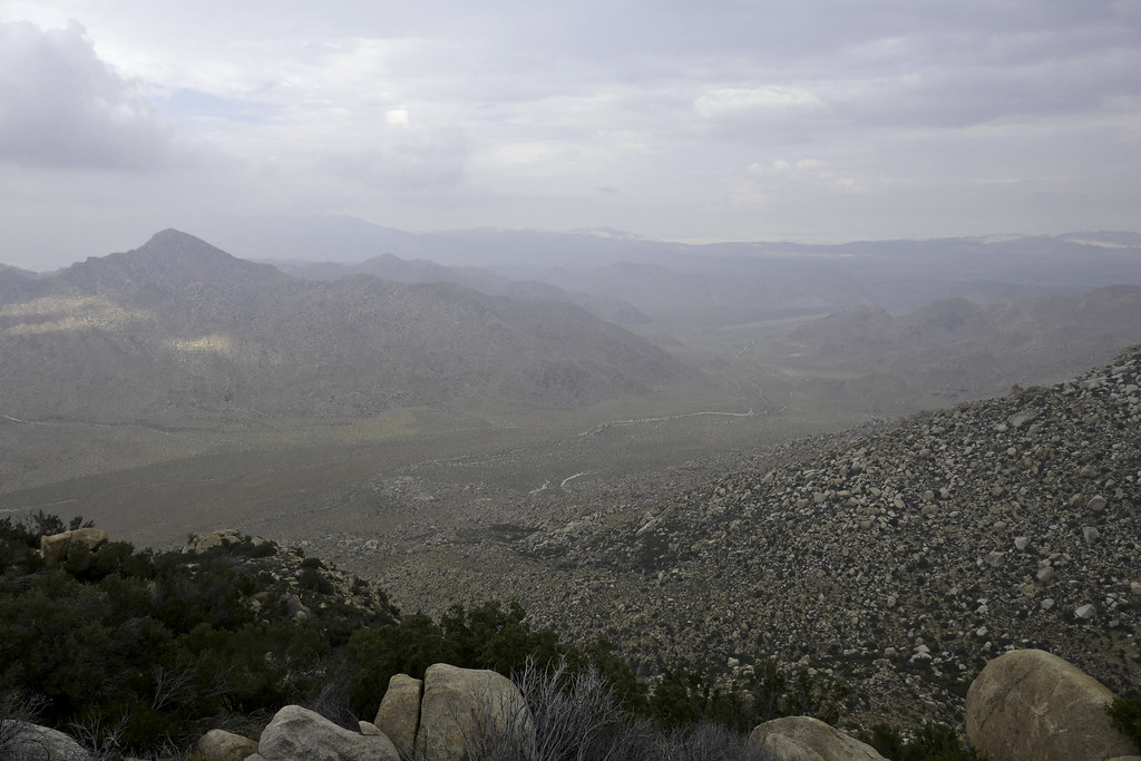 Canebrake North by tomteske, on Flickr Canebrake North by tomteske, on Flickr
Looking across Pepperwood Canyon at Peppwood Peak, the one in the middle.
 Pepperwood Canyon by tomteske, on Flickr Pepperwood Canyon by tomteske, on Flickr
The sky had mainly cleared on the way out. More pics of how things have changed.
 Striations by tomteske, on Flickr Striations by tomteske, on Flickr
 Three Colors by tomteske, on Flickr Three Colors by tomteske, on Flickr
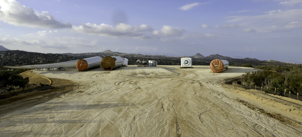 Turbine Parts by tomteske, on Flickr Turbine Parts by tomteske, on Flickr
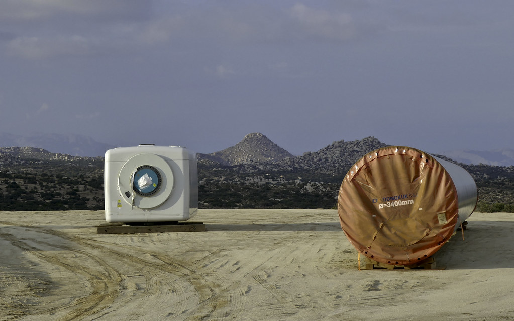 Sombrero View by tomteske, on Flickr Sombrero View by tomteske, on Flickr
Enjoy. Tom
|
|
|
link
|
|
Britain Posts: 609
9/10/2017
|
I caught one of the base sections @ Buckman Springs. Made in Korea.
--
Cant drive 55
Britain
http://icorva.com
|
|
|
link
|
|
Britain Posts: 609
9/10/2017
|
Its tragic whats happened to McCain area with power lines and turbines. Last time I was there in 2002 we packed down the trail to Cranebrake. Hoping find some of the McCain history. In the 70's we tested our rock climbing skills on the big chunk of granite. I dont remember the name of it anymore. Did loose some anchors in it.
edited by Britain on 9/10/2017
--
Cant drive 55
Britain
http://icorva.com
|
|
|
link
|
|
tommy750 Posts: 1071
9/10/2017
|
Britain wrote:
Its tragic whats happened to McCain area with power lines and turbines. Last time I was there in 2002 we packed down the trail to Cranebrake. Hoping find some of the McCain history. In the 70's we tested our rock climbing skills on the big junk of granite. I dont remember the name of it anymore. Did loose some anchors in it.
If you drive to the end of the road and don't look south, it's still a great place to escape. There's going to be huge turbines just north of Cottonwood Campground to keep you company from now on.
|
|
|
link
|
|
dsefcik Administrator Posts: 2634
9/11/2017
|
Progress....we all just need to go back to outhouses and horses.....
--
http://www.sefcik.com
http://www.darensefcik.com
http://www.carrizogorge.com
|
|
|
link
|
|
dsefcik Administrator Posts: 2634
9/15/2017
|


--
http://www.sefcik.com
http://www.darensefcik.com
http://www.carrizogorge.com
|
|
|
link
|
|
Britain Posts: 609
9/15/2017
|
Interesting they must have recently updated GE. I see this else where also.
--
Cant drive 55
Britain
http://icorva.com
|
|
|
link
|
|
tommy750 Posts: 1071
9/15/2017
|
Saw the new GE images. Looks bad up close and from afar.
|
|
|
link
|