|
tommy750 Posts: 1069
1/14/2013
|
What a coincidence Waning Moon just posted on Kathleen. Pretty much beat me to half of this post. Know all of you have driven by this a million times and like Bob says, how many have stopped for a closer look?
This is the site of the New Miller's Garage. When Hwy 80 changed locations, they moved to here from the old location (more to come) in 1964. An old stone building to the east dates to the '20s.
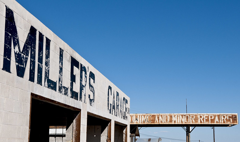
Miller's Garage by tomteske, on Flickr
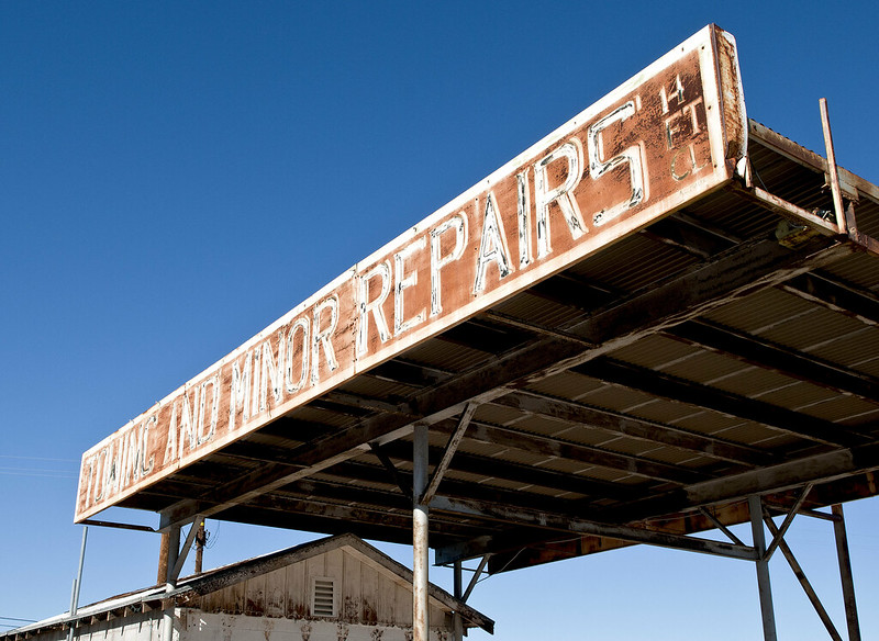
Miller's Garage2 by tomteske, on Flickr
There's considerable debris from several old buildings just west of the garage including this presumed old well.
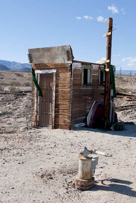
Well House by tomteske, on Flickr
Even an old safe is lying out front.
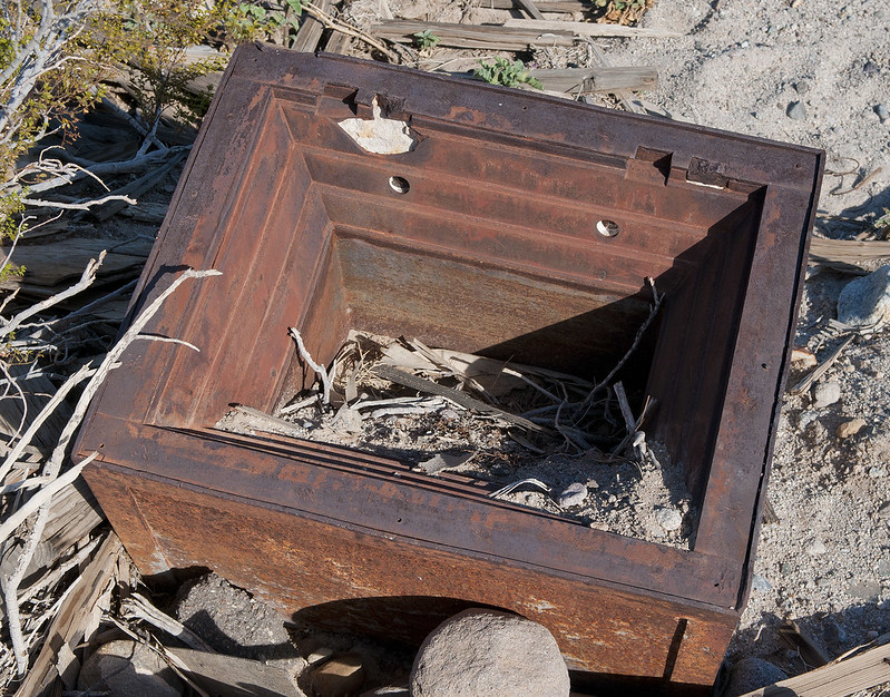
Old Safe by tomteske, on Flickr
Miller's faces away from this, an original 1917 single-lane portion of Old Hwy 80.
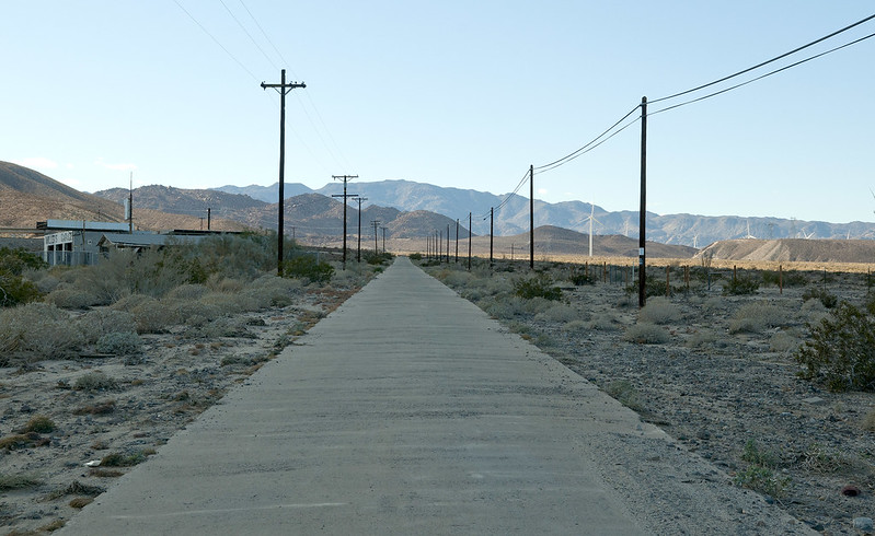
Old Hwy 80 by tomteske, on Flickr
A little farther up Myer Creek, the highway shows the devastation of Tropical Storm Kathleen.
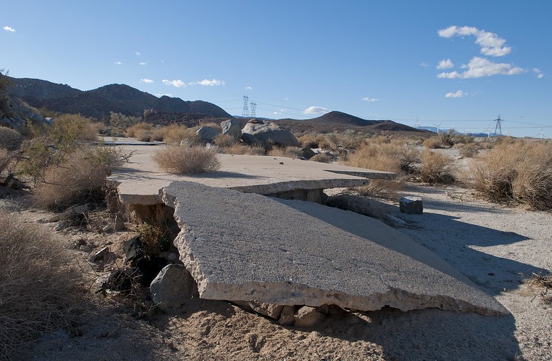
Old Hwy 80 Fragment2 by tomteske, on Flickr
Old Hwy 80 Fragment by tomteske, on Flickr
This is a railroad bridge father upstream that looks like it survived.
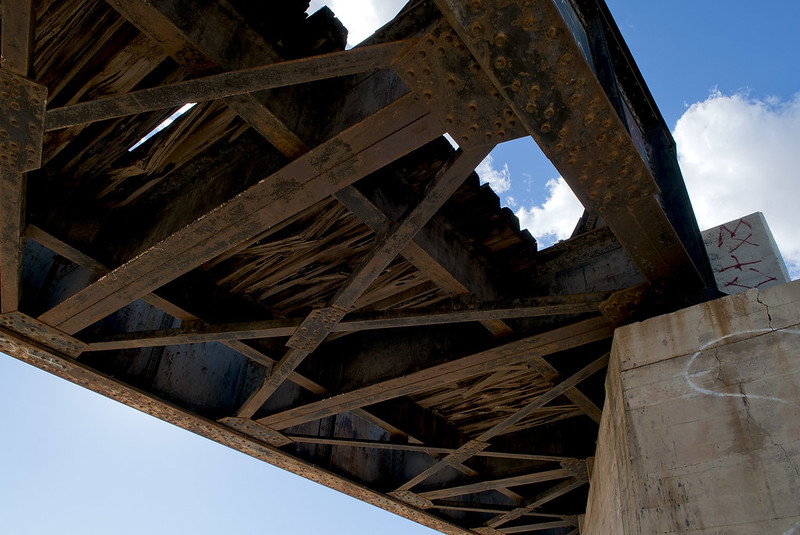
Myer Creek Bridge2 by tomteske, on Flickr
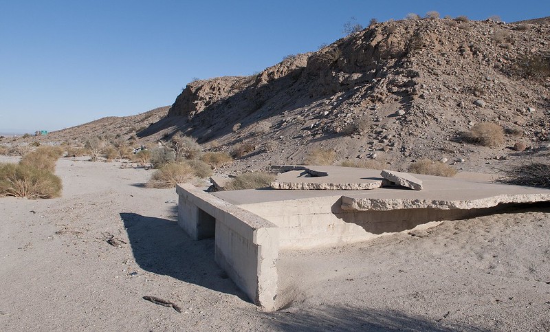
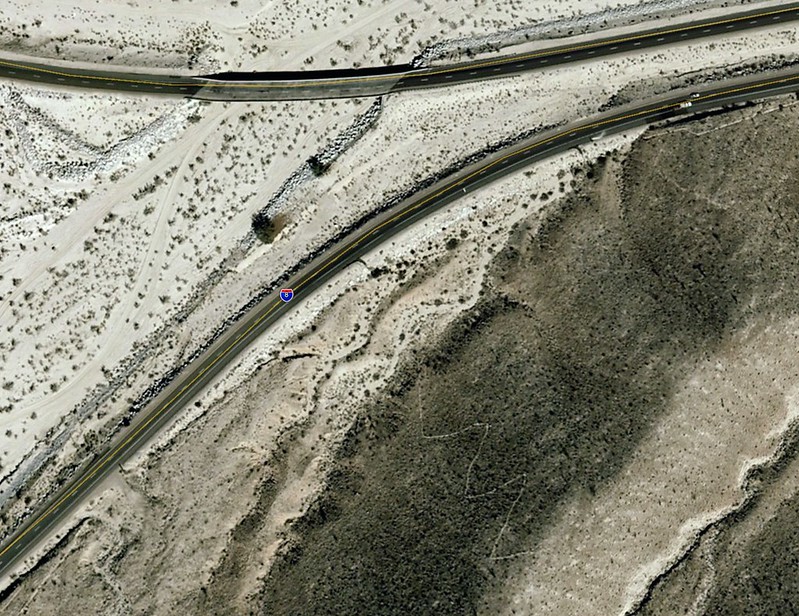
The topo map only lists the old garage site as "Millers" and not the new one. It's right at the split of westbound and eastbound I-8. Just a few ruins remain.
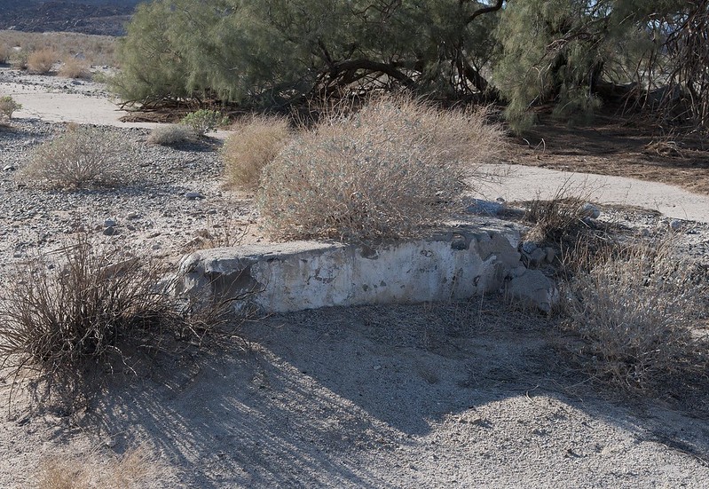
Millers by tomteske, on Flickr
You can see the same two trees still standing behind the Millers site which survived the flood.
Old Millers by tomteske, on Flickr
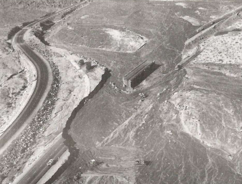
Here's the view from Google Earth. Notice a zigzagging trail outlined in painted rock still quite obvious leading up from the original Millers to an observation point old travelers would use.
Millers Old Site by tomteske, on Flickr
Wonder if Kathleen did this! Based on the solid black head and dorsum, I'm thinking Pygoscelis adeliae a known Antarctic penguin 
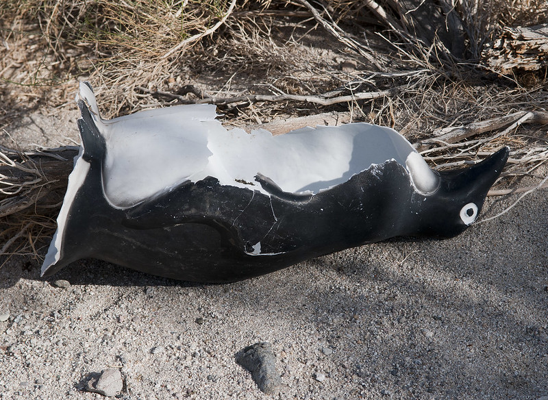
Penguin by tomteske, on Flickr
Decided to hike up into the lower I-8 island. Here's a sleeping circle maybe.
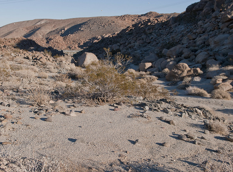
Sleeping Circle Maybe by tomteske, on Flickr
View of the new desert including a partly-used water jug left by a recent traveler.
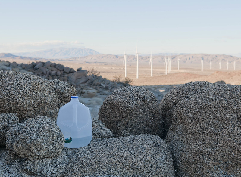
Whale Peak View by tomteske, on Flickr
Saw a few bones including two right mandibles from deer or bighorn, a rabbit skeleton and this horn.
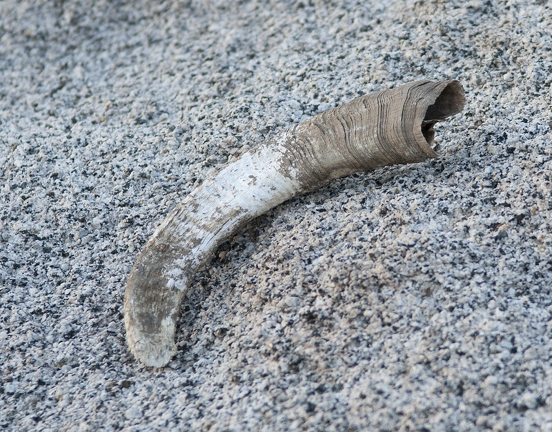
Horn by tomteske, on Flickr
Yes, Lettie is still breeding puppies. Sent her an email telling her where she can find her lost sign

English Bulldog Puppies by tomteske, on Flickr
The obligatory ancient soft drink container. It hasta be Shasta!
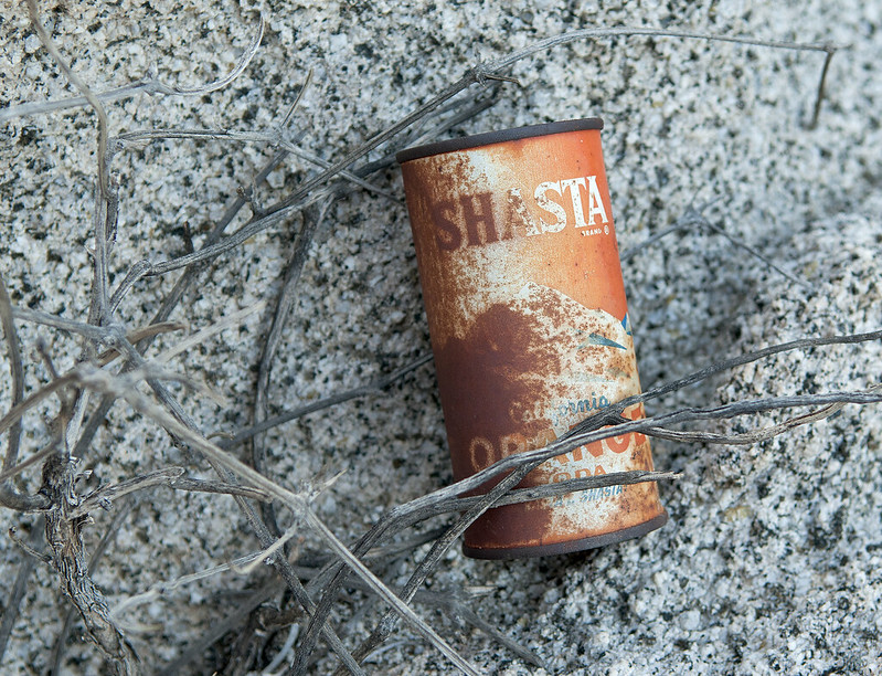
Shasta Orange by tomteske, on Flickr
Another view of the new desert. A lot of those are smack in the flood plain of Myer Creek where, according to James Larson's Kathleen description, a torrent raced "five feet deep and a half-mile wide." Never fool with you know whom. Hope you all enjoyed you weekends. Looking forward to seeing Waning Moon's pics which I can't seem to view right now. Tom
Wind Turbines by tomteske, on Flickr
|