|
Rocko1 Posts: 622
2/19/2025
|
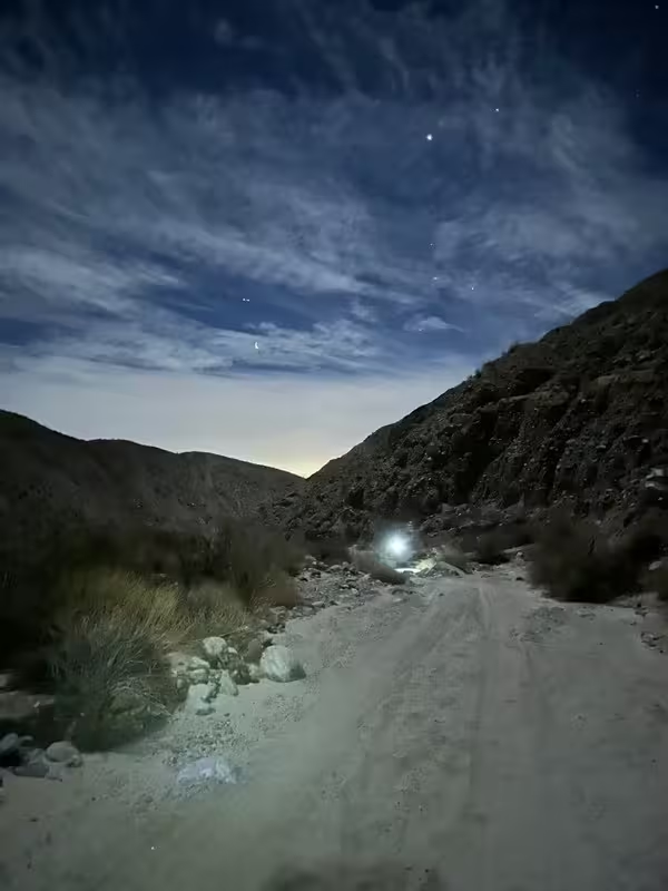
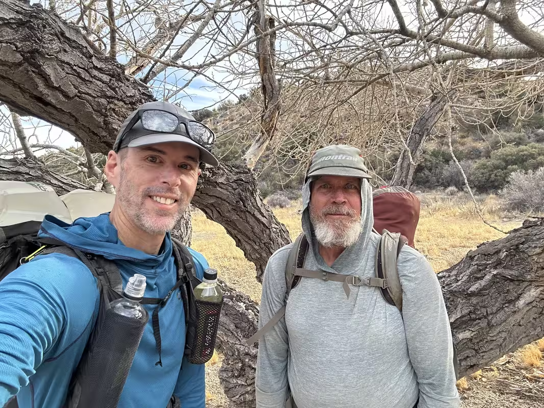
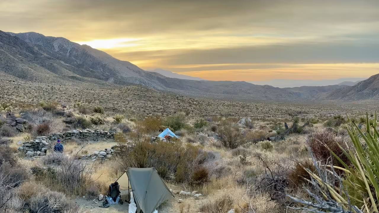
A couple of weekends ago Brian and I did a 3 day tour of RHC and the area that drains into it. We started Friday night and hiked in the dark from 3 miles south of the ‘parking’ area to the north exit of the canyon. Was interesting hiking in the dark through that canyon, the sand was very soft and as the canyon can be, monotonous.
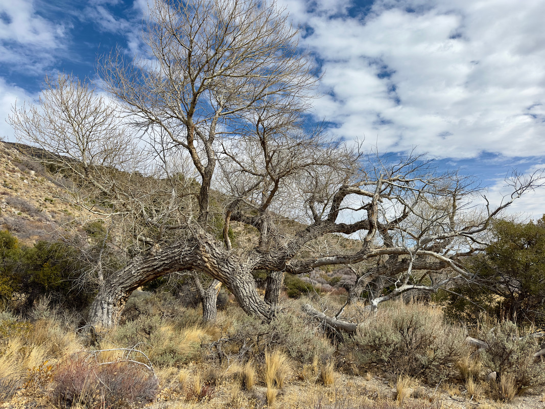
We woke up and decided to check out the original cotton wood spring. Long since dry.
I wondered how long since it had water and if there was any deep under the soil. Some extremely healthy juniper trees must be drinking from somewhere nearby.
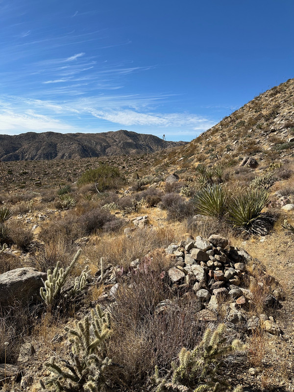
We then headed north to connect to the trail that runs along the base of Santa Rosas. We found the trail and headed to OSR and then to barrel spring-as reported earlier, still bone dry.
I poked around but didn’t see any signs of water. I didn’t look too hard.
Next mission was to get to the spring at the cottonwoods and praying it was flowing as it would be a long trek back to the car if not. Lucky for us it was producing. I would say 3-5L per minute.
https://imgur.com/n5KjFHr
We took a break at the cottonwoods then headed down the canyon.
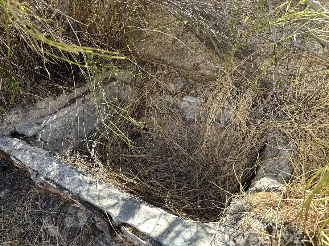
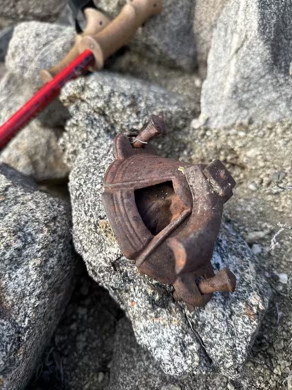
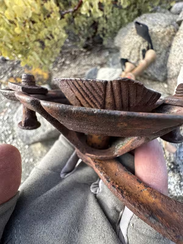
Looks like an old pump for water or oil, not sure.
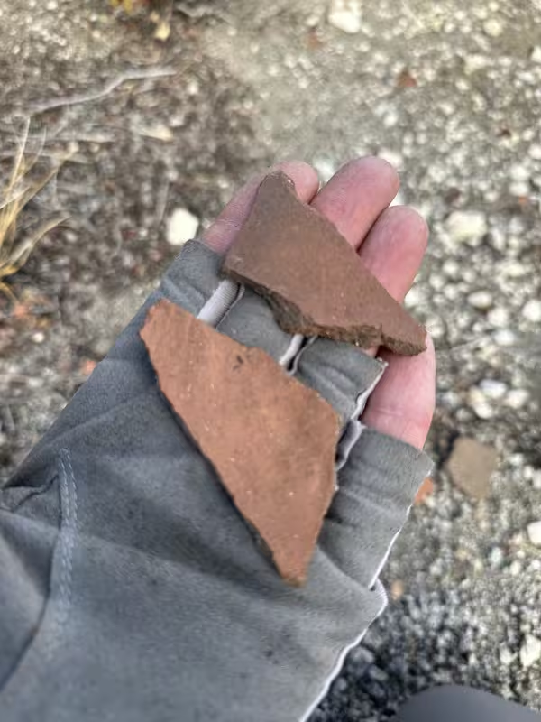
Shards
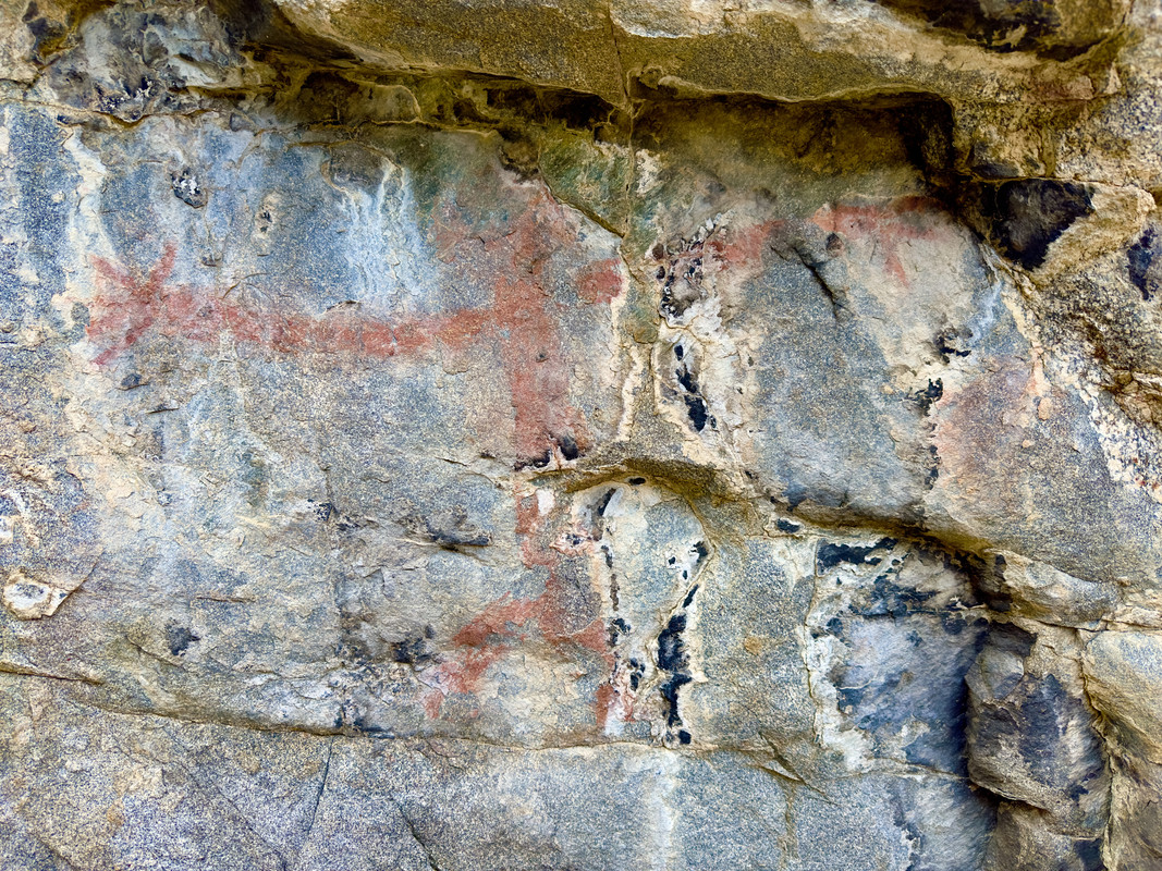
Picto
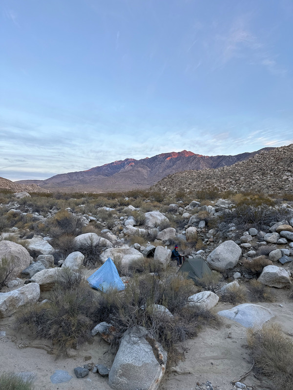
After making it back to the CW, loading up on water, we headed for OSR for the night.
Was a nice calm night. Brian had a hungry visitor in the form of a mouse.
That morning we headed over to Stiff to check the status of the spring. One drop every couple of seconds at Stiff, but upper Stiff 30-50’ up and to the left was flowing nice.
https://imgur.com/vMRd2km
We signed the register and headed to the lower rock houses. We must have picked up a old native trail as we really made good time-45 minutes.
I explored a higher elevation ‘side’ canyon not far from the zig zag trail.
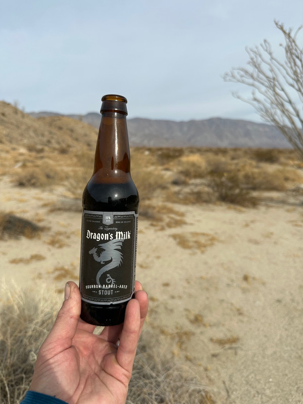
Brian provided the post trip beverages. It was fantastic.
Trip Totals
30 Miles, 5,062’ Gain, 5,075’ Loss
4 balloons recovered
Water Report as of Feb. 9th, 2025
Hidden Spring-could pull 6-8oz or so out of the small depression. Wouldn't count on it.
Stiff, only drips. Upper Stiff-1L/minute
Barrel-Bone Dry
Cottonwoods-flowing great.
Album link-https://postimg.cc/gallery/sDVcNN9
edited by Rocko1 on 2/19/2025
|
|
|
+1
link
|
|
Brian Posts: 253
2/19/2025
|
Nice overview of our trip. It was great to have some extra time to fully explore. So much to see in this area.
|
|
|
+1
link
|
|
Rocko1 Posts: 622
2/19/2025
|
Brian wrote:
Nice overview of our trip. It was great to have some extra time to fully explore. So much to see in this area.
Yes, one could really spend a week up there.
|
|
|
link
|
|
tommy750 Posts: 1086
2/21/2025
|
NIce TR. Like your sunrise and evening pics. And glad you found water. If you found a nice trail from the rockhouses to/from Stifferino, that's a great find. The few times I've been out there, that stretch always seems to be where you end up trudging through a dozen different drainages.
|
|
|
link
|
|
Rocko1 Posts: 622
2/25/2025
|
tommy750 wrote:
NIce TR. Like your sunrise and evening pics. And glad you found water. If you found a nice trail from the rockhouses to/from Stifferino, that's a great find. The few times I've been out there, that stretch always seems to be where you end up trudging through a dozen different drainages.
I think it was a combo of game trails that turned into a native trail. It certainly wasn't arduous at all and shockingly efficient. 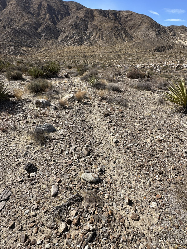
edited by Rocko1 on 2/25/2025
|
|
|
link
|
|
rockhopper Posts: 678
3/3/2025
|
Great Trip report. Rock house valley is one of my favorite places in our local area. It's like going back in time.
I always wanted to complete the ridge trail down to Martinez along the old native trail.
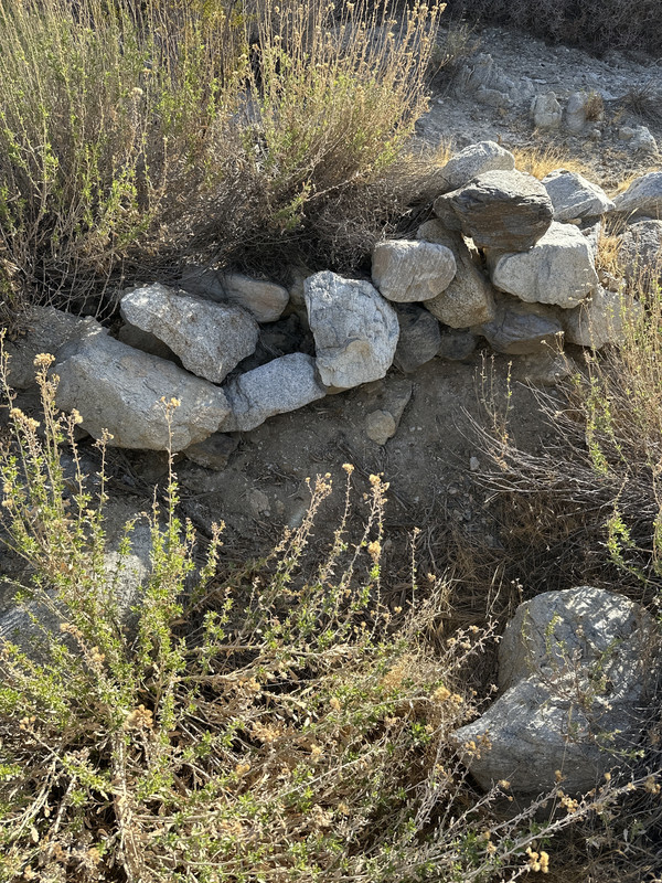
Pic. 7. Could be a hand ore grinder? lots of prospectors traveled thru the area.
thanks for sharing.
|
|
|
+1
link
|
|
Brian Posts: 253
3/3/2025
|
rockhopper wrote:
I always wanted to complete the ridge trail down to Martinez along the old native trail.
That's on my bucket list too. Rocko1 and I hiked up to the ridge line from the Rockhouse Valley side a couple years ago, but we didn't continue down to Martinez. That trip would be a lot more viable for me if there was a reliable water source on the Martinez side.
|
|
|
+1
link
|
|
Buford Posts: 468
3/3/2025
|
Great report. Not good that some springs don't have water. I think Gary knows of the trail between Stifferino and the rockhouses?
I've also walked the canyon in the dark a couple times. I've driven the last three miles of road in the dark a couple times too . It can be a nice walk if the rain left a nice hard crust on the canyon bottom.
Nice gloves 
--
Links to my photos: ABDSP photos, Bighorn sheep photos, ABDSP time lapse video, Wildlife photos (mainly birds)
|
|
|
+1
link
|
|
dsefcik Administrator Posts: 2634
3/4/2025
|
Buford wrote:
I think Gary knows of the trail between Stifferino and the rockhouses?
Yes, there is a trail at the base of the mtns. You will find piles of small rocks along the way. Toss another into the pile to make the spirit gods happy.
--
http://www.sefcik.com
http://www.darensefcik.com
http://www.carrizogorge.com
|
|
|
+1
link
|
|
Rocko1 Posts: 622
3/7/2025
|
Buford wrote:
Great report. Not good that some springs don't have water. I think Gary knows of the trail between Stifferino and the rockhouses?
I've also walked the canyon in the dark a couple times. I've driven the last three miles of road in the dark a couple times too . It can be a nice walk if the rain left a nice hard crust on the canyon bottom.
Nice gloves
There wasn't much of a crust in the canyon this time. We have hiked it before where there was and it's soo much easier.
Glacier Glove Ascension Bay gloves. A must have.
May be the same track we followed. It has to be the or close to the best route. Saw a few markers but not many.
We saw a few large pile of rocks near the trail that skirts the slopes and wondered the meaning. Burial site?
edited by Rocko1 on 3/7/2025
|
|
|
link
|
|
rockhopper Posts: 678
3/7/2025
|
Brian wrote:
rockhopper wrote:
I always wanted to complete the ridge trail down to Martinez along the old native trail.
That's on my bucket list too. Rocko1 and I hiked up to the ridge line from the Rockhouse Valley side a couple years ago, but we didn't continue down to Martinez. That trip would be a lot more viable for me if there was a reliable water source on the Martinez side.
My bucket list too! Here is an old map showing the old trail over from Rock house valley to Martinez. This map was generated from aerial photography 1938-1944 so the trail was still visible from the air back then. ( I have embellished info on this map showing the other trails and some springs to the east of the ridge in wet years.) Best approach for a thru hike would be after a major wet storm and or gather snow for the trek down to Jack Miller cabin and out to Valiere.

|
|
|
+1
link
|
|
Rocko1 Posts: 622
3/7/2025
|
rockhopper wrote:
Brian wrote:
rockhopper wrote:
I always wanted to complete the ridge trail down to Martinez along the old native trail.
That's on my bucket list too. Rocko1 and I hiked up to the ridge line from the Rockhouse Valley side a couple years ago, but we didn't continue down to Martinez. That trip would be a lot more viable for me if there was a reliable water source on the Martinez side.
My bucket list too! Here is an old map showing the old trail over from Rock house valley to Martinez. This map was generated from aerial photography 1938-1944 so the trail was still visible from the air back then. ( I have embellished info on this map showing the other trails and some springs to the east of the ridge in wet years.) Best approach for a thru hike would be after a major wet storm and or gather snow for the trek down to Jack Miller cabin and out to Valiere.
Brian and I went up on the ridge just south of Stiff. It wasn't too bad. That way and the old native trail shown seem to both be about 1 mile and 1,700-1900ft of gain.
|
|
|
link
|