Talk about a trip you took out to Anza Borrego
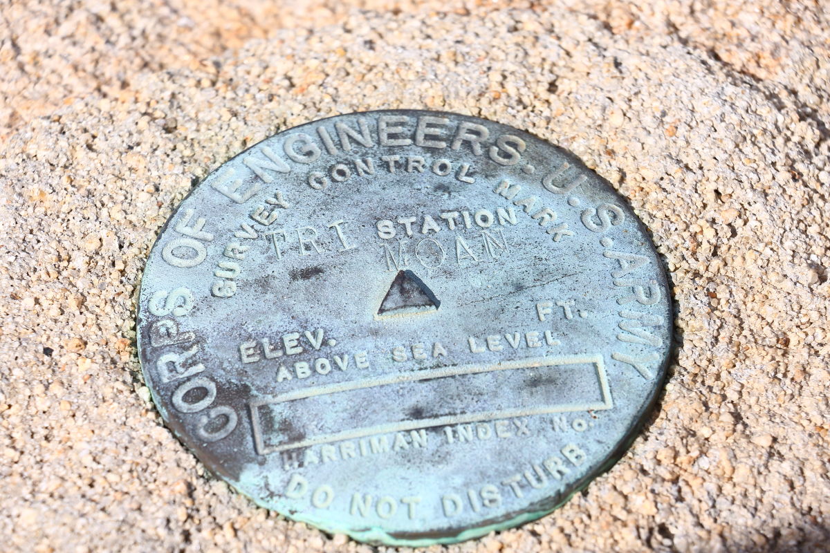
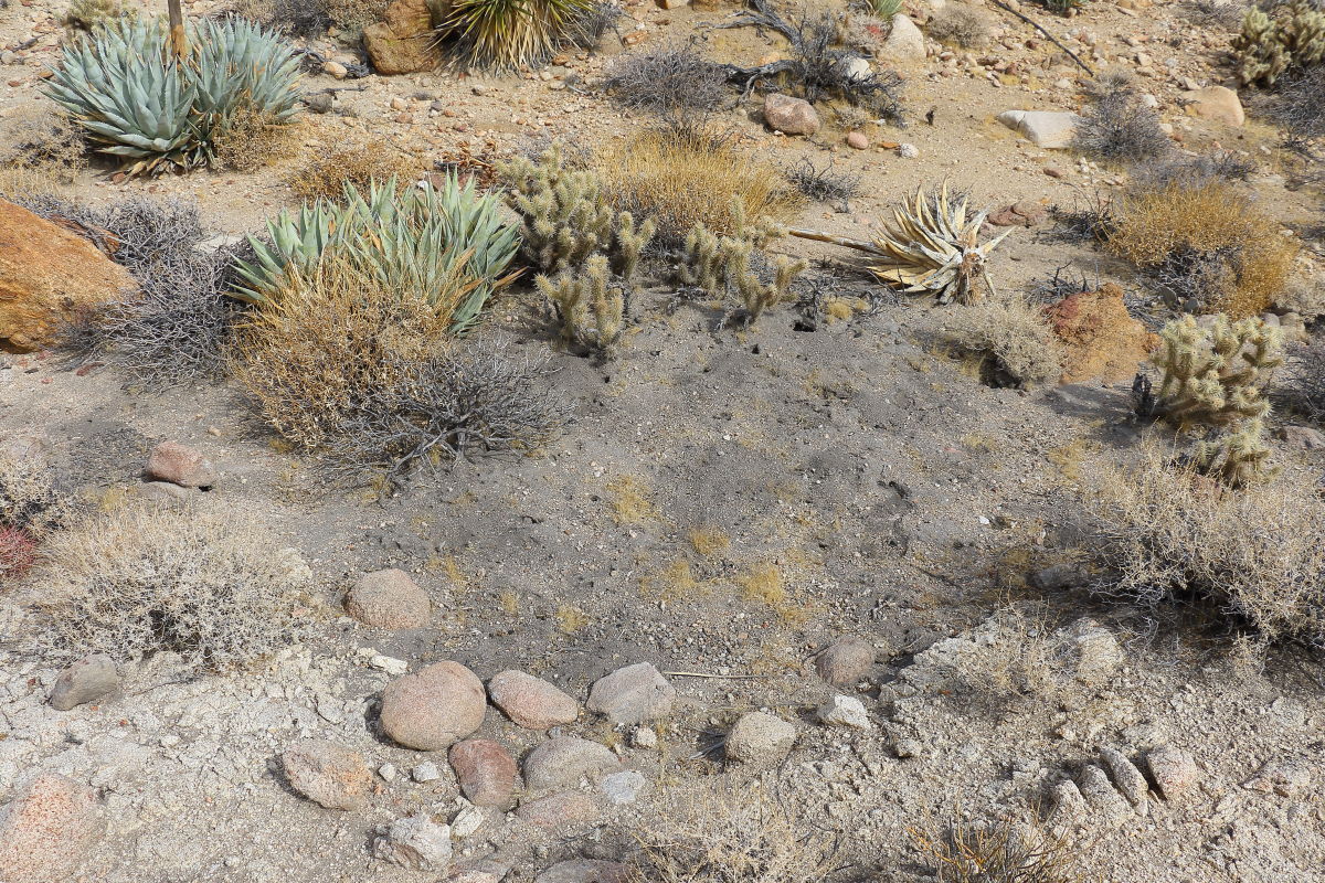
Moan Benchmark and I found a roasting pit.
|
Britain Posts: 608
11/3/2017
|
Tagged the Moan Benchmark today. I came up from the Indian Hill area and went down the west side of Moan to the R&R service road and out. About 200 ft down I came across a clean trail. Think a sheep trail so I followed it down to a flat area. Here's where the roasting pit was. You could smell the ash. Found 2 roasting pits.

Roasting pit. This was a really steep area. A small flat area and the pit. The trail did not go any farther in the direction I was heading ..down.

--
Cant drive 55
Britain
http://icorva.com
|
|
|
link
|
|
dsefcik Administrator Posts: 2625
11/4/2017
|
Nice roasting pit...amazing how many there are out there...
--
http://www.sefcik.com
http://www.darensefcik.com
http://www.carrizogorge.com
|
|
|
link
|
|
Britain Posts: 608
11/4/2017
|
dsefcik wrote:
Nice roasting pit...amazing how many there are out there...
Thanks to you I've got my eye open for them.
--
Cant drive 55
Britain
http://icorva.com
|
|
|
link
|
|
rockhopper Posts: 668
11/9/2017
|
According to Marshal South's book. Marshal and his family were using roasting pits in the 1940's in and around Ghost mountain. He went on to say that the roasted Agave hearts were very tasty. Wonder how old your find was?
|
|
|
link
|
|
Britain Posts: 608
11/9/2017
|
rockhopper wrote:
According to Marshal South's book. Marshal and his family were using roasting pits in the 1940's in and around Ghost mountain. He went on to say that the roasted Agave hearts were very tasty. Wonder how old your find was?
I found that roasting pit getting off of Moan. About 100 ft down on the west side I came across a trail running horizontally. The north end going up south going down. Downward took me straight into the roasting pit. I would guess because most of it is on the surface, erosion would remove them in short time. That one was being used over and over. They dumped the old ash about 10 ft away. I didn't follow or look into the trail, it wasn't going in the direction I wanted. I should have spent a little time looking into it. Perhaps in the future, I might. It's really steep, slippery and full of cactus.
--
Cant drive 55
Britain
http://icorva.com
|
|
|
link
|
|
Buford Posts: 461
12/5/2017
|
I think I saw that pit on the way up Moan.
The Groan benchmark on the topo map is mislabeled "Moan" on the ground.
--
Links to my photos: ABDSP photos, Bighorn sheep photos, ABDSP time lapse video, Wildlife photos (mainly birds)
|
|
|
link
|
|
Rocko1 Posts: 602
12/18/2017
|
I have seen the 'pits' before but never knew what there were. Thanks for the info.
|
|
|
link
|
|
ziphius Posts: 911
12/18/2017
|
Buford wrote:
I think I saw that pit on the way up Moan.
The Groan benchmark on the topo map is mislabeled "Moan" on the ground.
That would confuse the heck out of me if I thought I'd navigated to Groan. Moan and Groan are 1.6 miles apart as the crow flies.
--
http://www.coyotelearning.org
|
|
|
link
|