|
TR Posts: 67
6/29/2011
|
Well I had a court appearance in El Centro last Friday, so I thought I would use that as an excuse to go backpacking in southern Anza Borrego for the weekend. But in packing for the trip, I guess I spent too much time getting ready for court and not enough time packing for the weekend. After court, when I got off the highway in Ocotillo, I realized that I had forgotten my camera. No problem, I just got this new smart phone, which is brighter than I am, I'll just use it. So, sorry in advance for the the number and quality of the pictures.
Right outside of beautiful downtown Ocotillo, I turned on to an unmarked jeep trail. I think it was Dos Cabezas Road. There was a little sign somewhere on up the road that said EC 119. It eventually led me to the San Diego and Arizona Eastern railroad tracks.
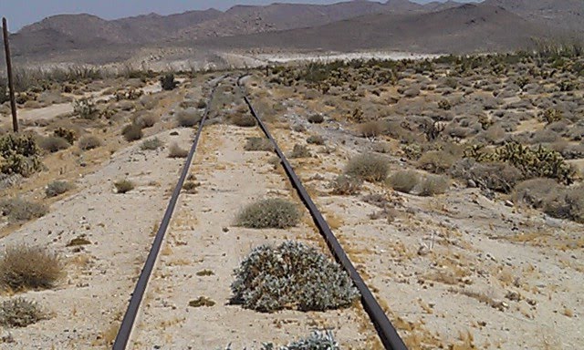
From there I went to Dos Cabezas Springs.
 I'm sure one of you knows what type of flower this is. It looks like some type of Orchid, to me. I'm sure one of you knows what type of flower this is. It looks like some type of Orchid, to me.
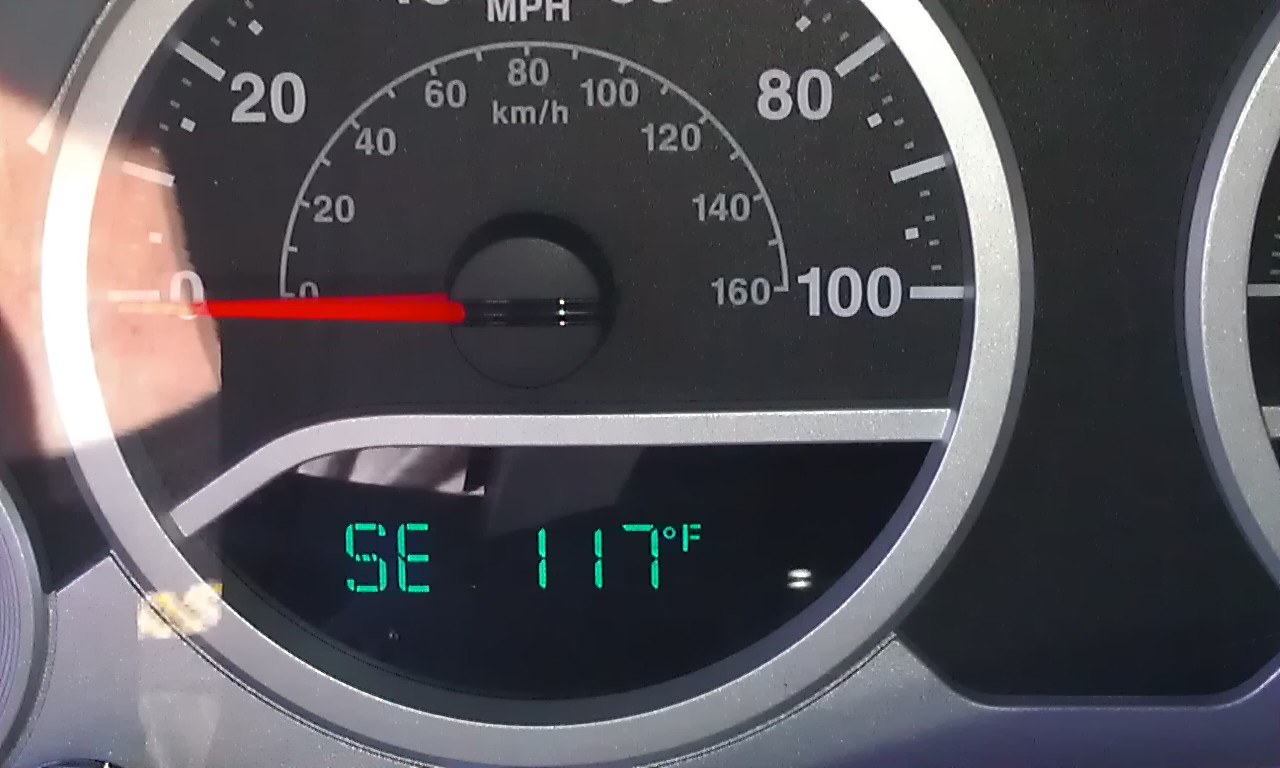
Needless to say, I was the only one there. Well, just about. There were more jack rabbits that you could shake a stick at.

This one was resting in the shade. It was too hot to be bothered by me. The heat didn't really bother me, except when I had to get in the car, and the door handle was hot enough to fry an egg.
I spent the night at Bow Willow Campground. Again, I was the only one there, aside from a million rabbits and one roadrunner.
Before I left San Diego, I filled my Camelback with ice. I had two 2 liter water bottles. Two Nalgene bottles. And the Camelback. I packed two freezed dried meals, one for friday night, one for Saturday. Wnen I stopped for the night I didn't even get the stove out of my pack. I just mixed up some fruit punch drink mix in that cold water from my Camelback. That really hit the spot. In fact, I didn't use my stove all weekend. Ended up bringing both freezed dried meals back home with me.
Saturday morning, I ended up driving back to El Centro for a car charger for the cell phone. Taking and viewiing pictures apparently eats up the batteries. On the way back, I bought a ten pound bag of ice and filled the Camelback and all the water bottles. Filled them all, with only a little left over. I went back toward Dos Cabezas via Motero Wash. Saw the only other living human being of the weekend at the water tower. He was a border patrol. Stopped and took the obligatory water tower picture.
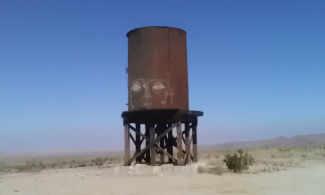
Then headed northwest along the right side of the track, playing leap frog with the border patrol agent.

Just after this trestle the road went steeply up hill. It was seriously rutted, and I was afraid of getting high centered.
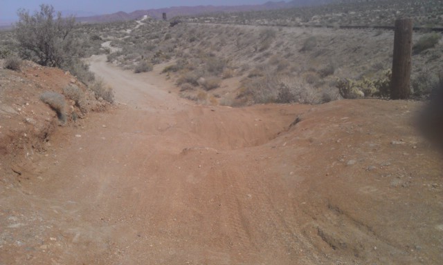
So I turned around a slunk away, like a dog with it tail between it's legs. But being alone, discretion being the better part of valor, I didn't feel like I could run the risk. Even if the border patrol had just gotten through in his big truck.
When I started back Mortero Wash from the water tower, I came to a little used road off to the left. Lo and behold it was a way aroung the rutted hill section. So I continued on till the end of the road.
I found this quite interesting.
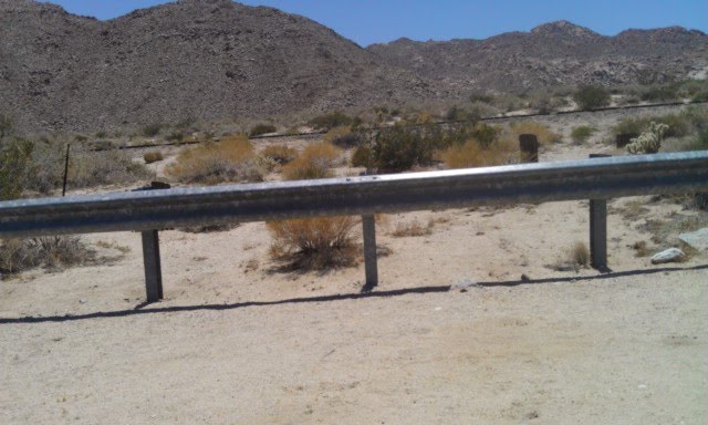
What would justify putting a guardrail here, in the middle of the desert?
The tracks are abandoned. Vehicle traffic is nearly nonexistant. It not a section of road the is curved or otherwise hazardous. Who paid for this?
When I got to the end of the road, I got out and hiked the tracks for awhile. When I got back I notice this "Jumping" cactus had attached itself to my front tire. I could not get all the spines out.
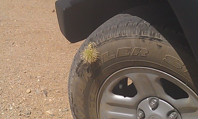
One of the Dos Cabezas, I think.

Sunday, while calling my wife to let her know not to expect me back until late, a coyote popped out of the brush, ran in front of me, looked back over his shoulder at me, and then disappeared into the bush again. You may be able to talk and surf the web at the same time, but you can't talk and take a picture at the same time.
I started up Carrizo Canyon. I thought I'd go up to the Rock House Ruins. But the soft sand had me worried about getting stuck. With no one around to help me, I turned around at the first firm section I could find. I spent the day at abandoned Dolomite Mine, and the trail the leads from there up over the mountain.
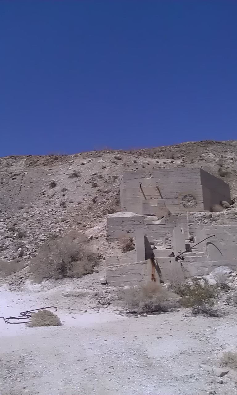
This was cast into the foundation. I thought it was an interesting design.

This was obviously originally a chute of some sort.
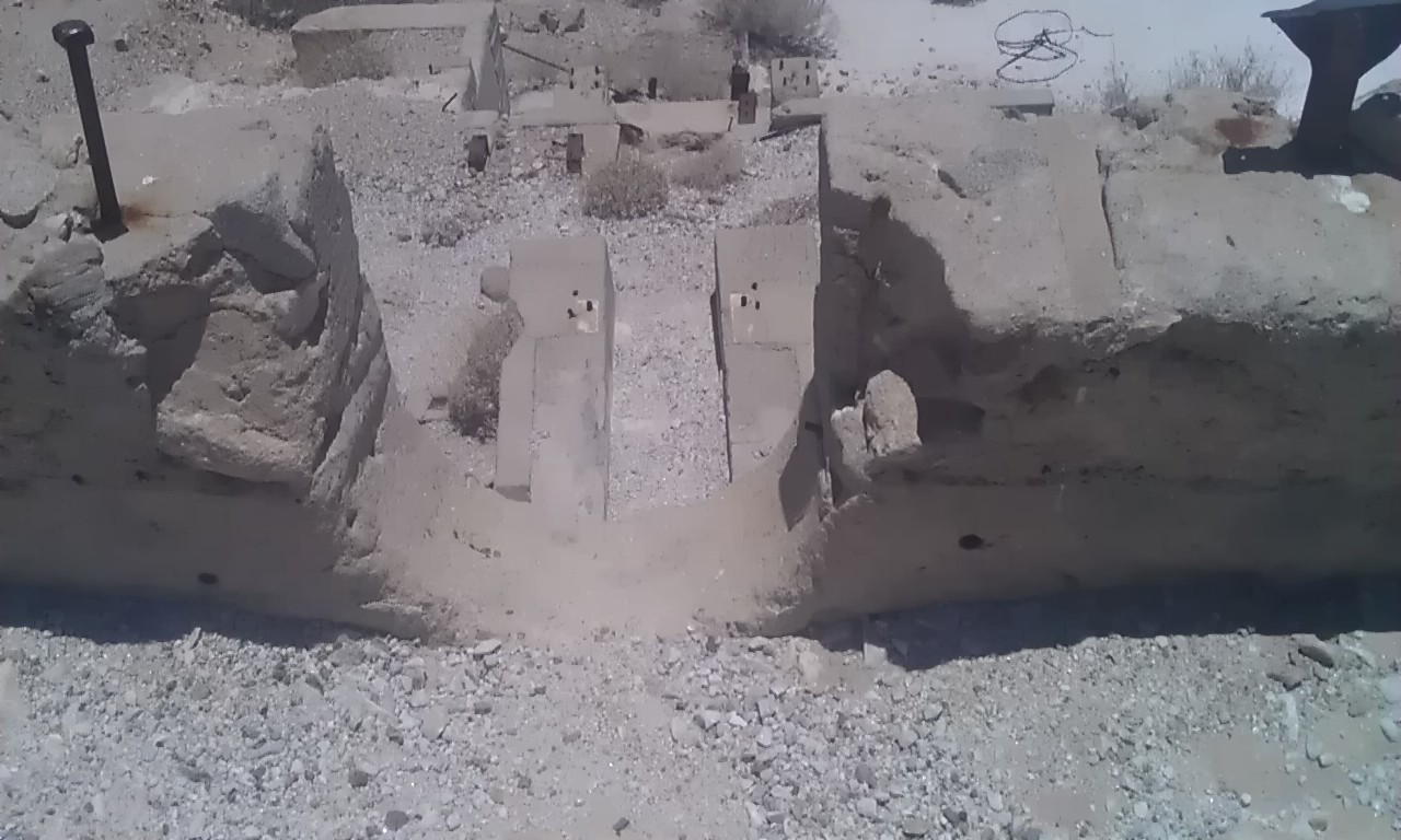
Written in the cement were names and the date 1951.

This was an out building. From it's size, location, and the stone steps, I'm guessing it was a privy.


Stopped at the Lazy Lizzard for a bite to eat before heading home. All in all, I didn't see another human being, other the border patrol, all weekend. And I wasn't really in that remote a section.
I have a question though. Has anyone thought of approaching the Goat Canyon trestle from the west? It seems that you should be able to go south in Carrizo Canyon as far as you can on the jeep road. And then go east up the canyon to the trestle. It looks doable on Google Maps.
|
|
surfponto Administrator Posts: 1369
6/30/2011
|
Hey Tom,
Carrizo Canyon/Creek goes a ways up but for driving purposes , stops around 3 miles short of the intersection of Goat Canyon.
Google Earth makes it look like you could drive all the way up but that isn't true.
Even the hiking trail becomes pretty discernible after a bit.
As far as driving, the LandCruiser does not have any problems, but you are right the sand is pretty soft in places.
Also it gets pretty rocky towards the end and I tend to gear down into low range.
You can read this post which was from a few years back when we drove my wife's Tacoma up the canyon.
Bob
<em>edited by surfponto on 6/30/2011</em>
--
https://www.anzaborrego.net/


|