|
deborah Posts: 115
10/8/2019
|
I went out to explore Bitter Creek and Grapevine Mountain on Sunday. My route followed Bitter Creek around to the southwest side then climbed the ridge up to the summit. Goodness, the views are amazing! I saw 3 survey markers but couldn’t find the summit register. I followed a different route on the way back, along a chute full of rock to scramble over. It seems like it would also be fun to reverse the loop and ascend that way.
I did find a mostly-buried trekking pole in the wash. It looks like it’s been there a while, but if anyone is looking for one or can make use of it, you are welcome to it. 
Here are a few pictures from the day. I saw four deer but didn’t get any pictures. If only I could move across the terrain like that…
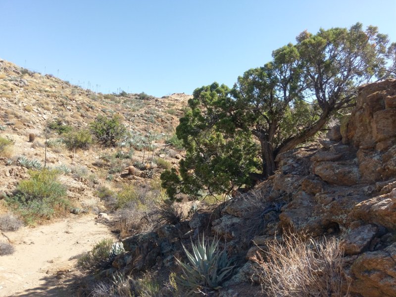
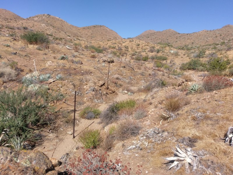
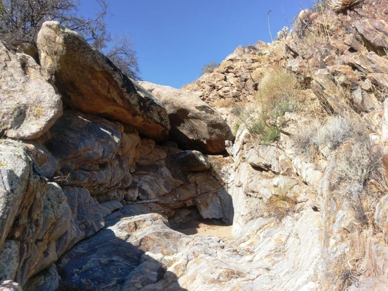
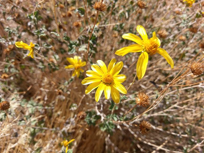
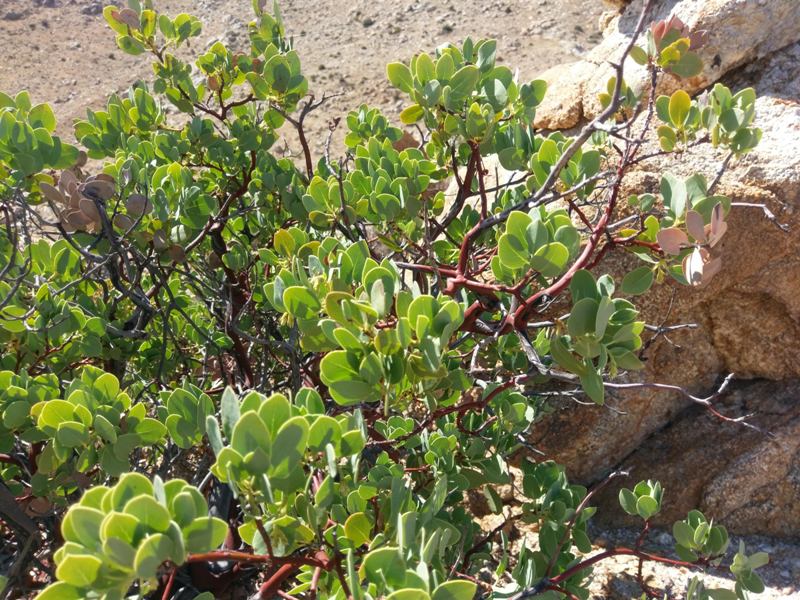
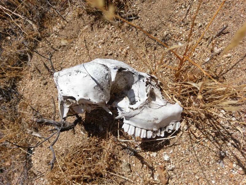
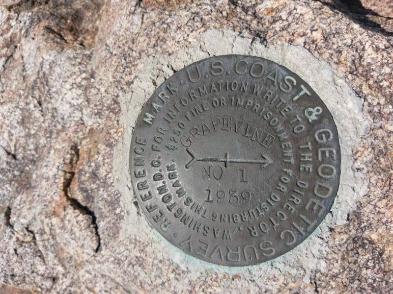
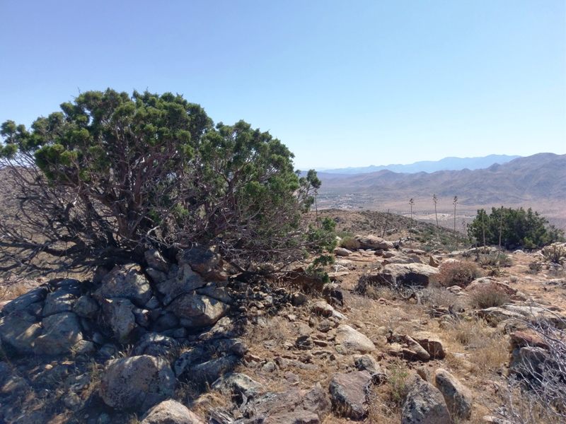
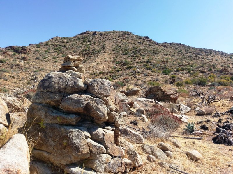
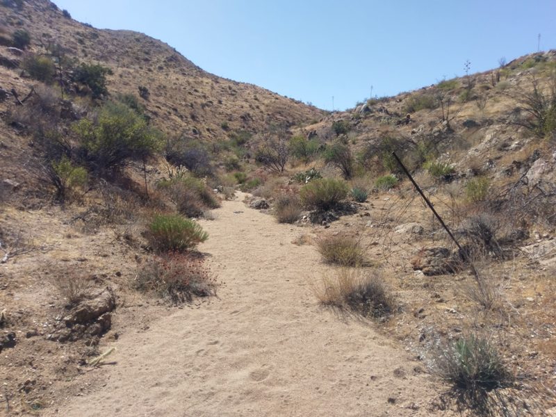
Oh, and mylar balloon count 1, “regular” balloon 1.
edited by deborah on 10/8/2019
|
|
|
+2
link
|
|
ziphius Posts: 911
10/8/2019
|
Nice photos. Have not explored that area. 3rd photo looks like a spot that might hold some water in the wet season. Skull is definitely from a mule deer, the depression in the lacrimal bone is diagnostic and allows for separation between mule deer and bighorn. Thanks for posting.
--
http://www.coyotelearning.org
|
|
|
link
|
|
deborah Posts: 115
10/8/2019
|
Thanks, I was curious about the skull. I saw other bones nearby and was wondering which type of animal it had been.
There were a few small areas of water including Bitter Creek Spring that the bees were enjoying.
|
|
|
link
|
|
Rocko1 Posts: 602
10/9/2019
|
Very nice. Did you ascent route follow the PCT part of the way?
|
|
|
link
|
|
deborah Posts: 115
10/9/2019
|
Rocko1 wrote:
Very nice. Did you ascent route follow the PCT part of the way?
Hi Rocko1, I parked in Grapevine Canyon where it meets Bitter Creek. For my hike I basically followed Bitter Creek until I was heading south, and the wash wasn't as distinct from the surrounding terrain. Then I went cross country for just a bit to climb towards Grapevine Mountain.
So I wasn't on the PCT, but it wasn't far away at all. From that ridge I could see the trail section that winds up through the hills from Scissors Crossing. That's an interesting variation!
|
|
|
+1
link
|
|
dsefcik Administrator Posts: 2625
10/11/2019
|
Been awhile since I went up Grapevine, I wonder if the register went missing like in many other places. Great photos, thanks for sharing.
--
http://www.sefcik.com
http://www.darensefcik.com
http://www.carrizogorge.com
|
|
|
link
|
|
deborah Posts: 115
11/7/2019
|
Rocko1 wrote:
Very nice. Did you ascent route follow the PCT part of the way?
I liked the idea of Grapevine Mountain from the PCT. I went back and did it last weekend. It's a fun hike, and short if you don't have much time. There are some really pretty washes above the trail. The views were still amazing.  I saw some familiar names in the register... I saw some familiar names in the register...
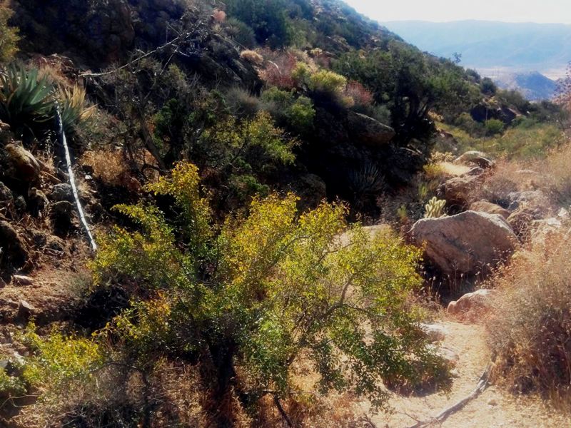
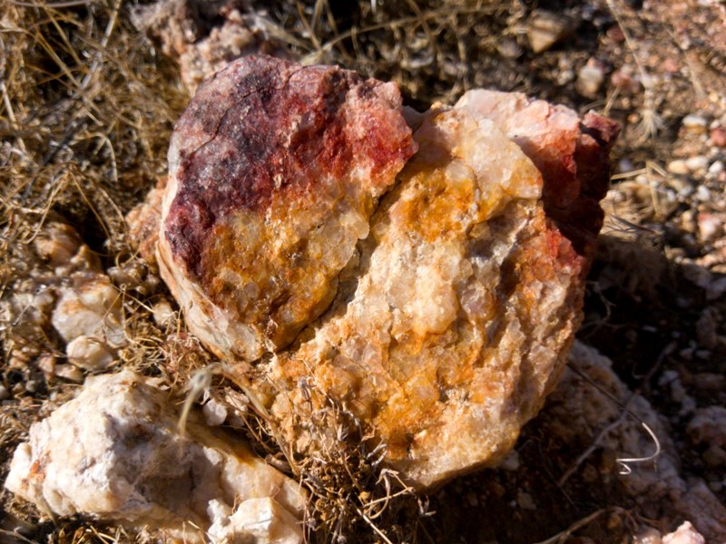
edited by deborah on 11/7/2019
|
|
|
link
|
|
dsefcik Administrator Posts: 2625
11/8/2019
|
Definitely pretty washes up top and great views. Hopefully my rock stacking made the register a little easier to find...
--
http://www.sefcik.com
http://www.darensefcik.com
http://www.carrizogorge.com
|
|
|
+1
link
|
|
deborah Posts: 115
11/8/2019
|
dsefcik wrote:
Definitely pretty washes up top and great views. Hopefully my rock stacking made the register a little easier to find...
It led me right to it. 
|
|
|
link
|
|
dsefcik Administrator Posts: 2625
11/8/2019
|
When Gary and I recently went up Grapevine we saw a nice 4 point buck, a good sized doe and two tarantulas.
--
http://www.sefcik.com
http://www.darensefcik.com
http://www.carrizogorge.com
|
|
|
link
|