Talk about a trip you took out to Anza Borrego
Yuha Well and Geoglyphs
|
tommy750 Posts: 1070
8/27/2012
|
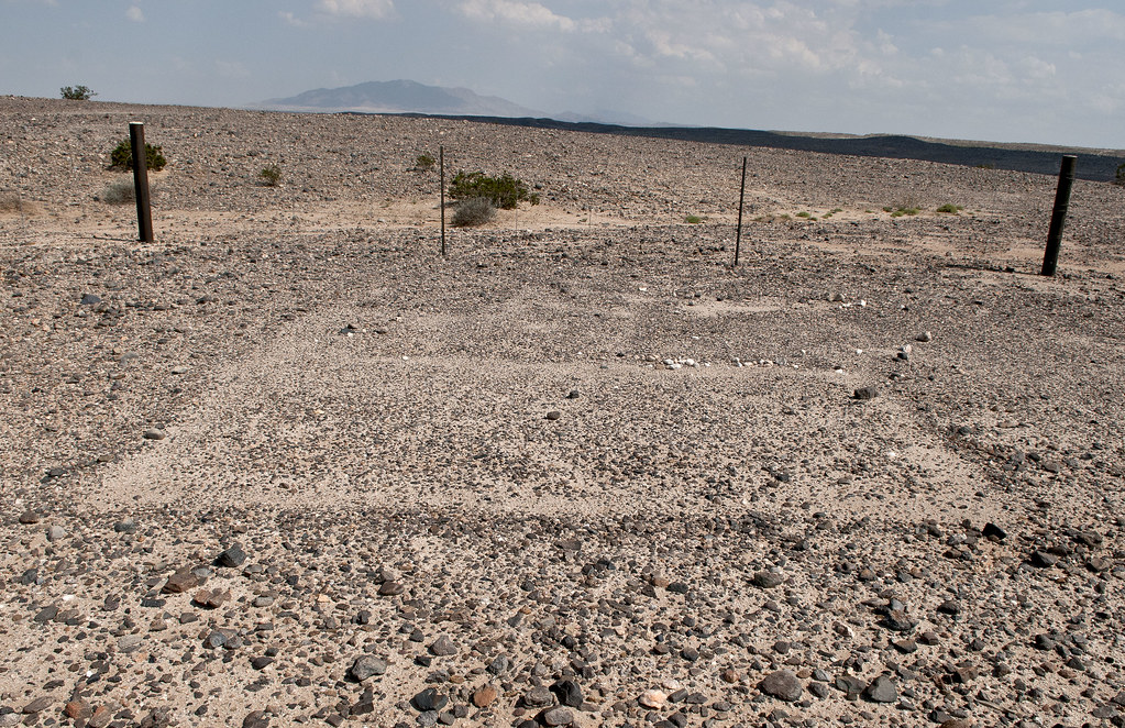
On Friday, decided to take a drive out to the Yuha Basin, a place I'd never been. Stopped off at BLM El Centro and picked up a few maps and headed out. It's between I-8 and Hwy 98 southeast of Ocotillo. In 1962, a USBP pilot spotted some curious shapes on a ridge and thus "discovered" the Yuha Geoglyphs. They apparently had already been discovered by vandals and SDSU spent the next decade restoring them. In 1975, they were totally trashed and after further restoration are still badly damaged. Compared to the Blythe Intaglios I posted on before, these are in a miserable state.
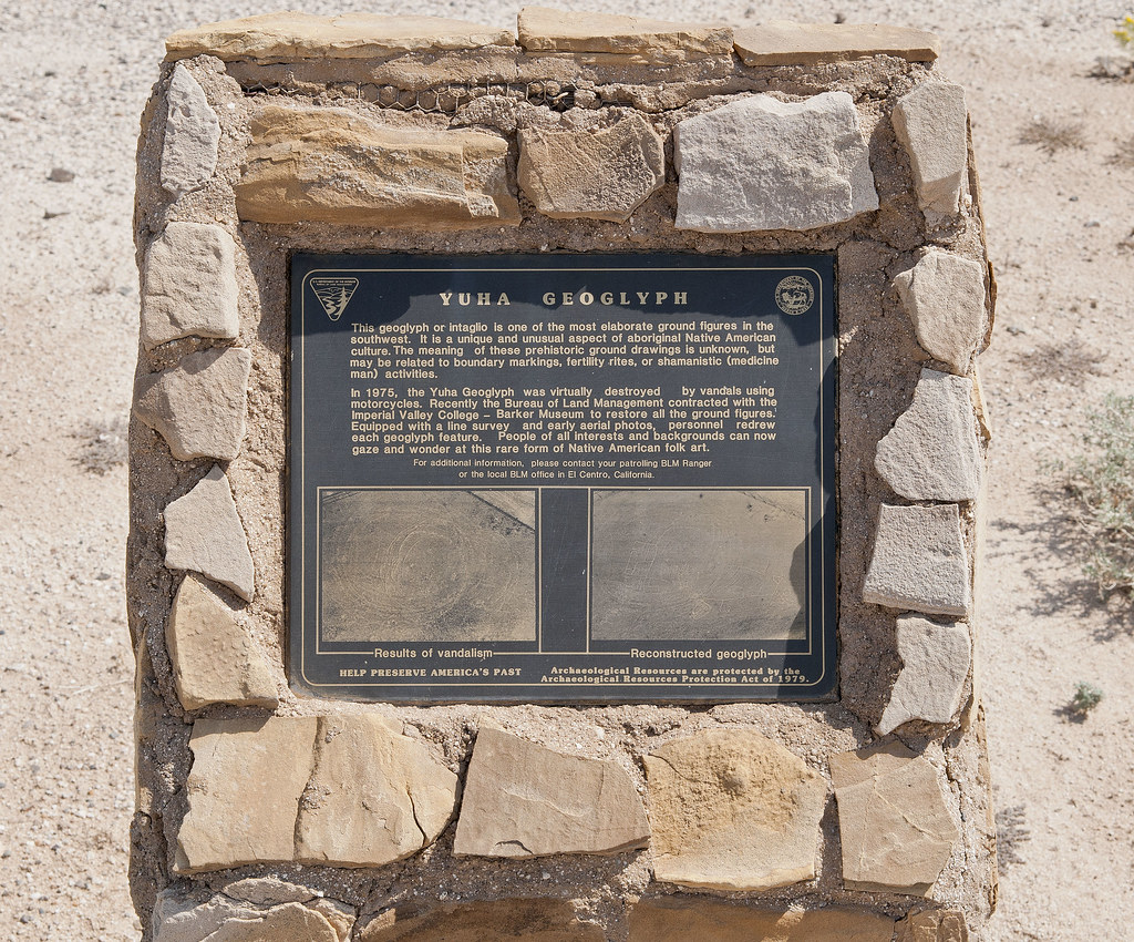
Yuha Geoglyph by tomteske, on Flickr
Yuha Glyph by tomteske, on Flickr
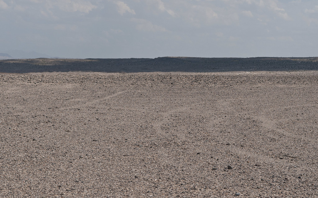
Centinela From Yuha Glyphs by tomteske, on Flickr
This is looking toward Carrizo and the Coyote Mts
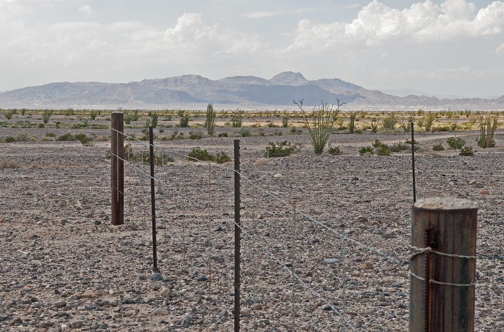
Carrizo Mt From Yuha Glyphs by tomteske, on Flickr
Not too many people have been out here since the torrential rains a few weeks back so a lot of the roads have no fresh tracks.

Tundra on EC 301 by tomteske, on Flickr

Fresh Tracks by tomteske, on Flickr
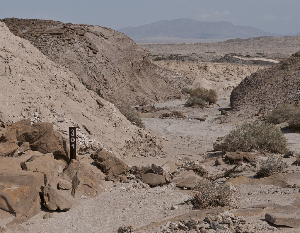
EC 301 by tomteske, on Flickr
The Yuha Well was used by Anza's party in 1775. Their Indian guide's name was Sebastian Tarabal and farther to the north, San Sebastian Marsh, their next water source, is supposedly named after him.
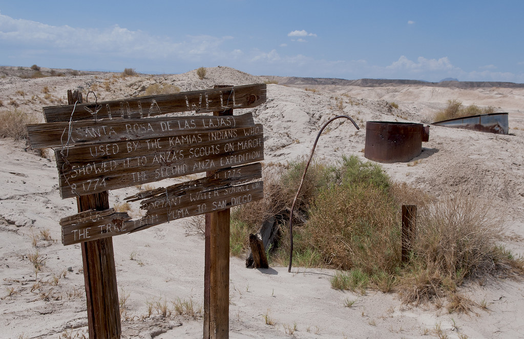
Yuha Well by tomteske, on Flickr
The well is not currently flowing and the visible ruins reportedly date to the mid-1900's.

Yuha Well2 by tomteske, on Flickr
Found these funny looking tracks. One looks like a sidewinder and the other maybe a lizard?
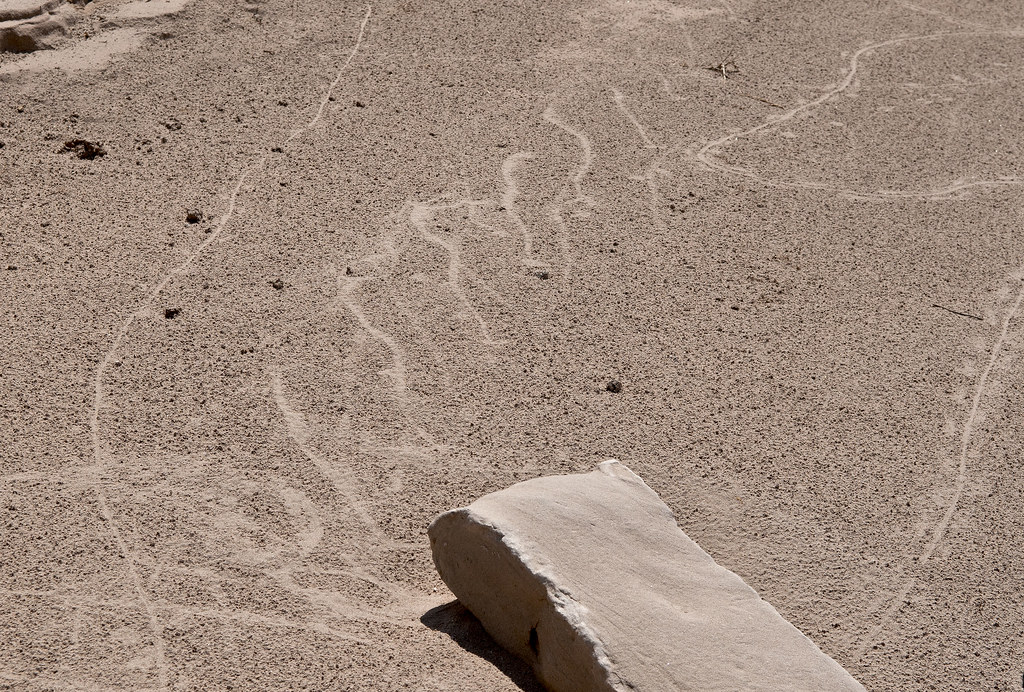
Tracks2 by tomteske, on Flickr
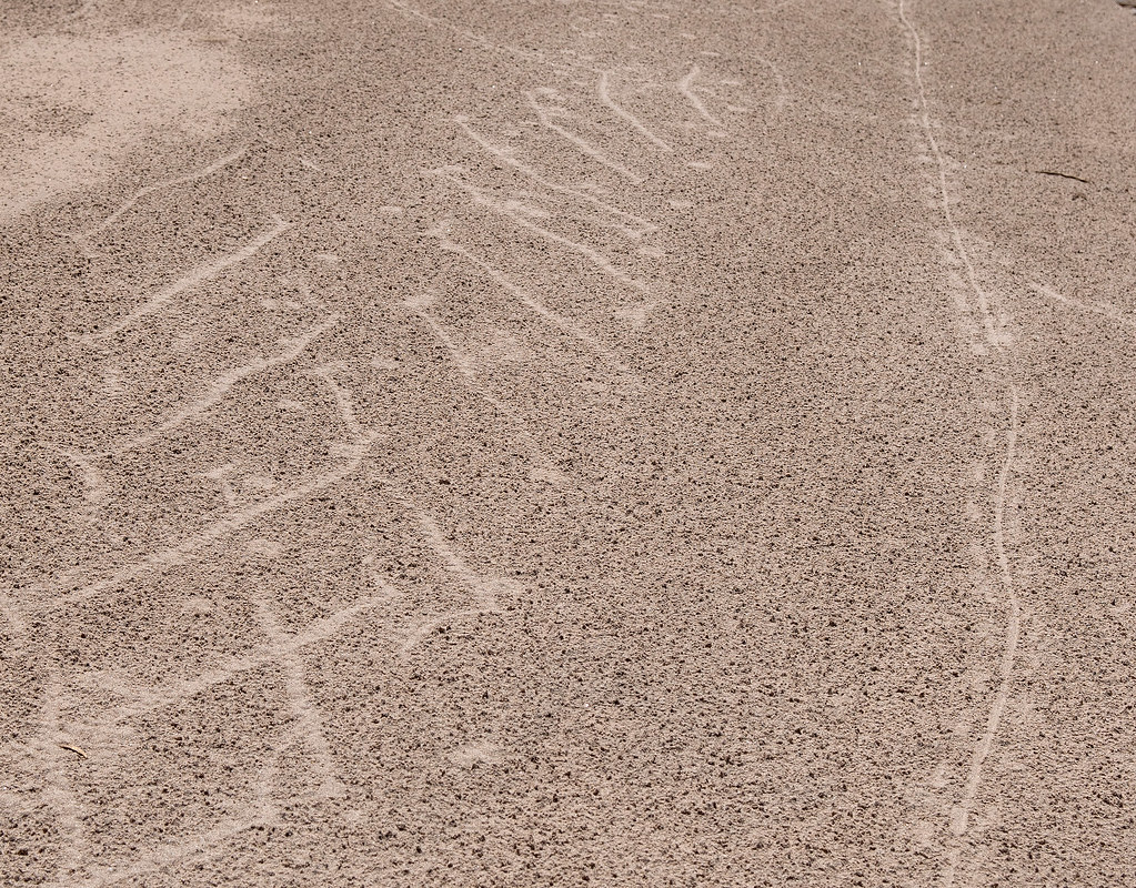
Tracks by tomteske, on Flickr
Here's a Desert Iguana losing his skin.
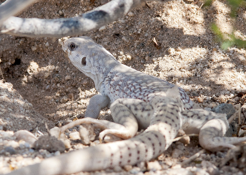
Shedding by tomteske, on Flickr
This is in Yuha Wash. The wash really gets you into some deep sand as you head east.
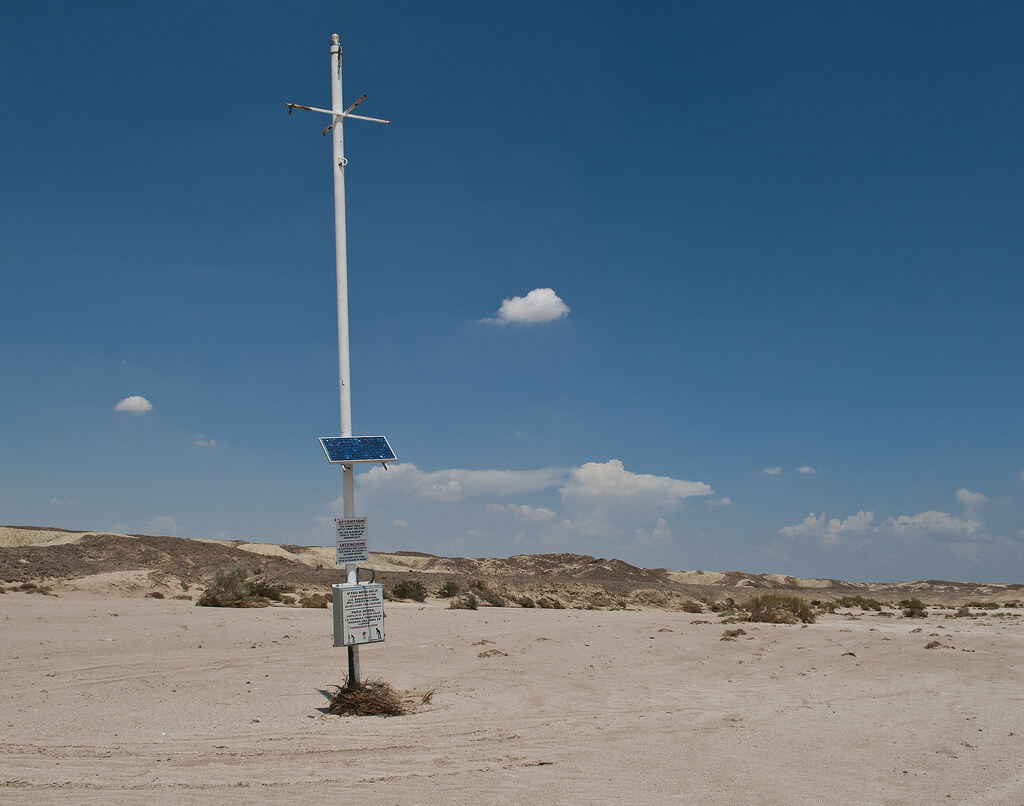
Red Button by tomteske, on Flickr
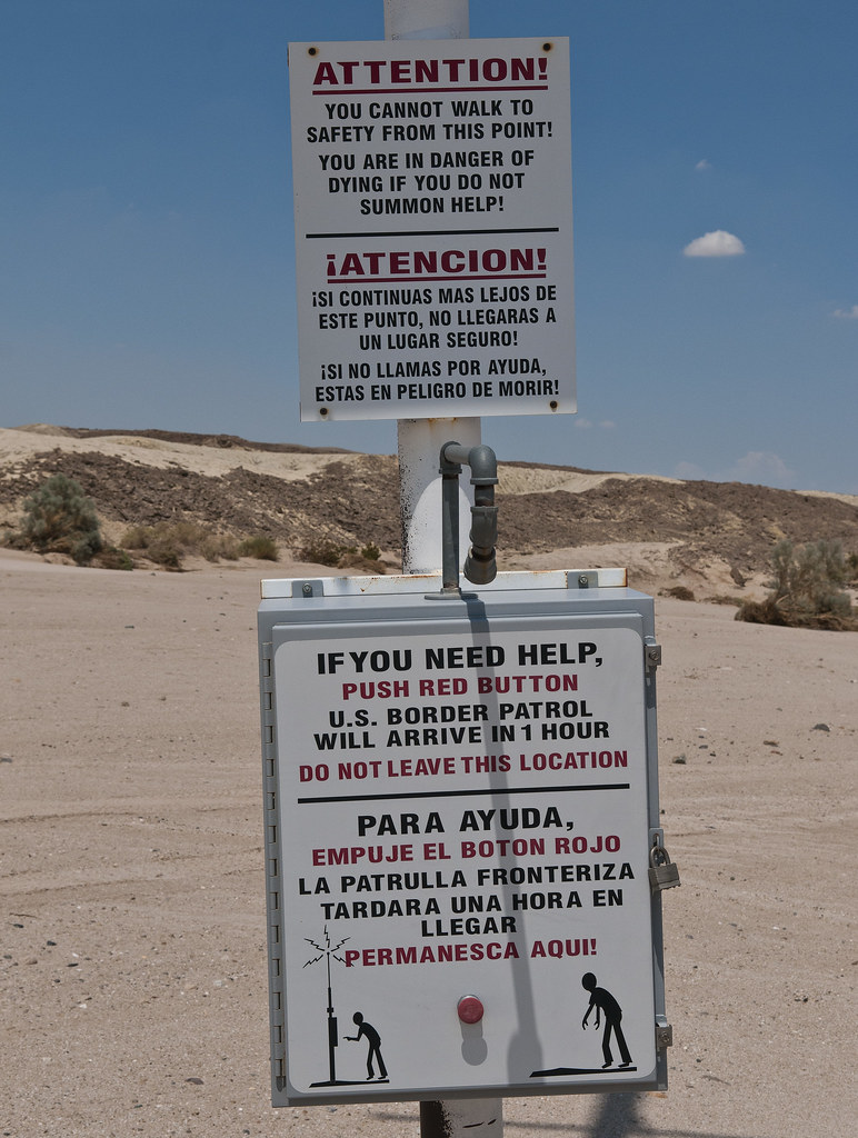
El Boton Rojo by tomteske, on Flickr
Didn't have time to check out the large shell reefs nearby. Next time. Enjoy. Tom
|
|
|
link
|