|
AdventureGraham Posts: 170
12/17/2012
|
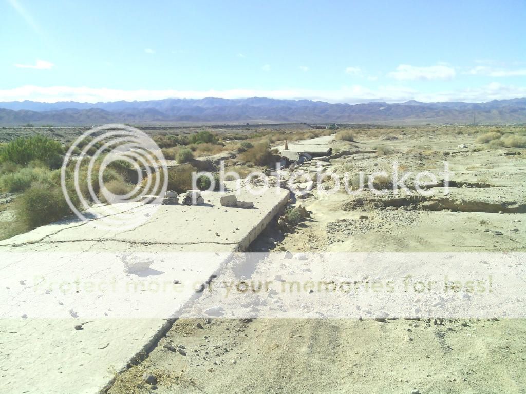
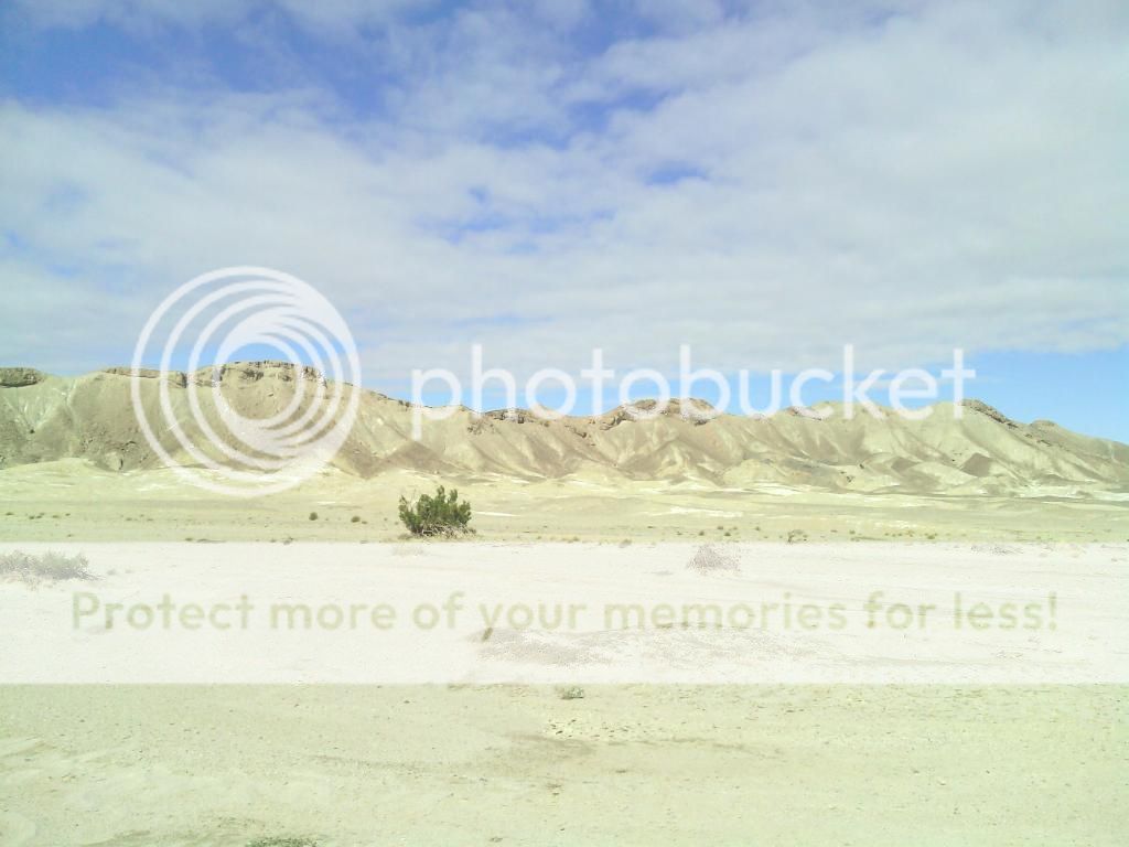
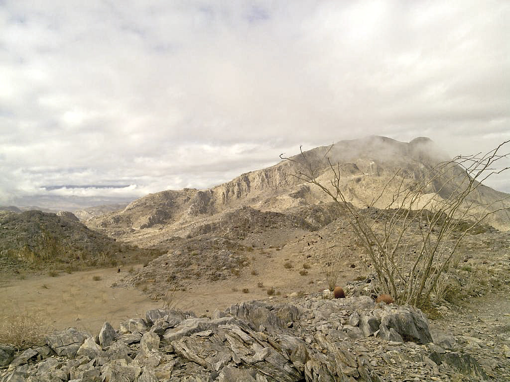
I spent the weekend with my wife and daughter, along with a few friends atop Carrizo Mountain, just northeast of Ocotillo. We searched nearby Plaster City OHV Area for petrified wood and also explored a bit of the Yuha Desert. Here are a few photos. I'll have more and the whole trip report posted up soon.


edited by BorregoWrangler on 12/17/2012
|
|
|
link
|
|
ziphius Posts: 911
12/17/2012
|
That first photo is ethereal and I'd be tempted to do some Photoshop magic to 'erase' the vehicles. Nice spot! The scallop fossil is awesome too. Kids love finding that sort of stuff. Did you approach Carrizo Mtn. through the jeep trail in Painted Gorge?
--
http://www.coyotelearning.org
|
|
|
link
|
|
tommy750 Posts: 1069
12/17/2012
|
Nice. Am guessing your campsite was on the long ridge NE of Carrizo Mt? Have hiked the ridge twice and think it's harder than Carrizo Mt itself (14 miles rt vs 9 miles from the Painted Gorge gate) but love the view of the Carrizo Badlands from both especially in the late afternoon. Looking forward to your other pics. Tom
|
|
|
link
|
|
dsefcik Administrator Posts: 2632
12/17/2012
|
Jim (ziphius) wrote:
That first photo is ethereal and I'd be tempted to do some Photoshop magic to 'erase' the vehicles. Nice spot! Ditto, I like that photo....Starting with CS5 you can use the Content Aware Fill feature and it works very well for that sort of thing. If you are like me and don't use Photoshop you can use the free PS alternative The Gimp and achieve the same result via the re-synthesizer plugin.
I really do not edit my photos much more than color/sharpness/crop but there are times when this type of thing comes in handy.
--
http://www.sefcik.com
http://www.darensefcik.com
http://www.carrizogorge.com
|
|
|
link
|
|
tommy750 Posts: 1069
12/17/2012
|
Daren Sefcik wrote:
Jim (ziphius) wrote:
That first photo is ethereal and I'd be tempted to do some Photoshop magic to 'erase' the vehicles. Nice spot! Ditto, I like that photo....Starting with CS5 you can use the Content Aware Fill feature and it works very well for that sort of thing. If you are like me and don't use Photoshop you can use the free PS alternative The Gimp and achieve the same result via the re-synthesizer plugin.
I really do not edit my photos much more than color/sharpness/crop but there are times when this type of thing comes in handy.
Apologies for the unauthorized use of this lovely pic 

Lasso Backspace Content Aware by tomteske, on Flickr
|
|
|
link
|
|
AdventureGraham Posts: 170
12/17/2012
|
tommy750 wrote:
Daren Sefcik wrote:
Jim (ziphius) wrote:
That first photo is ethereal and I'd be tempted to do some Photoshop magic to 'erase' the vehicles. Nice spot!
Jim (ziphius) wrote:
Did you approach Carrizo Mtn. through the jeep trail in Painted Gorge?
Yep, That's the route I usually take up there.
tommy750 wrote:
Nice. Am guessing your campsite was on the long ridge NE of Carrizo Mt? Have hiked the ridge twice and think it's harder than Carrizo Mt itself (14 miles rt vs 9 miles from the Painted Gorge gate) but love the view of the Carrizo Badlands from both especially in the late afternoon. Looking forward to your other pics. Tom
I think so. Our site was just east of Carrizo Mtn summit, which you can see in the first photo. From where we were camped, it only takes a few minutes to drive to the highest road just below the summit. You're right about the views up there. Amazing.
Apologies for the unauthorized use of this lovely pic 

Lasso Backspace Content Aware by tomteske, on Flickr
No worries, looks good! It had cleared up a lot once we had made it out to Ocotillo but on our way up the mountain we could see that the upper reaches were still enveloped in fog and rain.
edited by BorregoWrangler on 12/17/2012
|
|
|
link
|
|
ziphius Posts: 911
12/18/2012
|
Tommy, nice 'David Copperfield' job on the disappearing vehicles! 
--
http://www.coyotelearning.org
|
|
|
link
|
|
AdventureGraham Posts: 170
12/19/2012
|
Carrizo Mountain is the highest point of the rocky Coyote Mountains, located in the transition zone between the Salton depression of Imperial County, and the mountains and desert valleys of the Anza-Borrego Desert State Park to the west. The range is located not far north of Interstate-8 near the small community of Ocotillo.

Photos and write-up can be seen here: http://johnandautumnsadventures.blogspot.com/2012/12/carrizo-mountain-yuha-basin.html
edited by BorregoWrangler on 12/19/2012
edited by BorregoWrangler on 12/19/2012
|
|
|
link
|
|
tommy750 Posts: 1069
12/19/2012
|
BorregoWrangler wrote:
Carrizo Mountain is the highest point of the rocky Coyote Mountains, located in the transition zone between the Salton depression of Imperial County, and the mountains and desert valleys of the Anza-Borrego Desert State Park to the west. The range is located not far north of Interstate-8 near the small community of Ocotillo.
Photos and write-up can be seen here: Carrizo Mountain & Yuha Basin
edited by BorregoWrangler on 12/19/2012
Not finding the above link valid  Tom Tom
|
|
|
link
|
|
AdventureGraham Posts: 170
12/19/2012
|
tommy750 wrote:
Not finding the above link valid  Tom Tom
Oops. Okay, I fixed it. Thanks.
|
|
|
link
|