|
tommy750 Posts: 1086
10/22/2014
|
A couple weekends back, needed to head into San Diego so decided to take the "long way." Pulled off I-8 at Dunaway Rd and headed into Yuha. Was trying to find a geoglyph I'd never seen. On the way, this fenced area caught my eye:
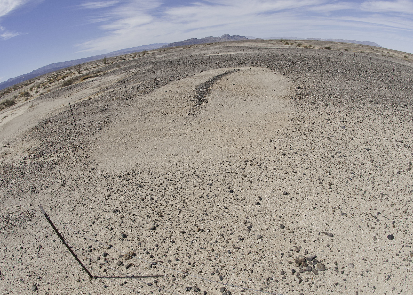 Labios Geoglyph by tomteske, on Flickr Labios Geoglyph by tomteske, on Flickr
There were 5-6 cairns arranged around it but wasn't sure if it was a geoglyph or something historical. Spoke with Harry Casey, the pilot who photographed most of the geoglyphs in the Southwest with Jay von Werlhof, but he wasn't familiar with it.
Finally found the Power Geoglyph, miles to the Southwest:
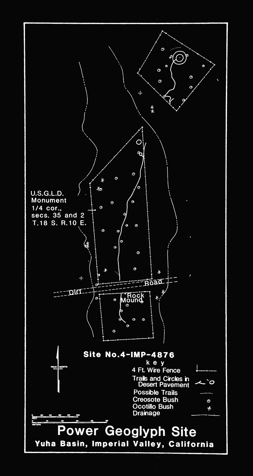 Power Geoglyph by tomteske, on Flickr Power Geoglyph by tomteske, on Flickr
Similar sites are present to the Northeast and reportedly ( von Werlhof) are communication sites to contact the Creator for healing, knowledge or advice. A road and streambed have divided this site into three. Supposedly, there is yet another one somewhere in the Yuha.
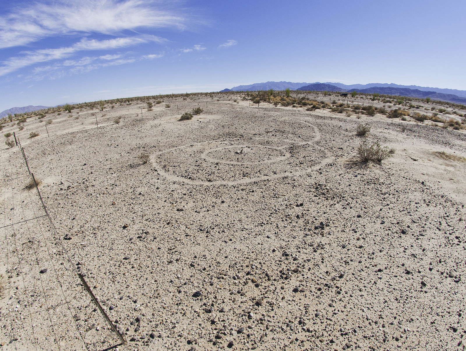 Power Geoglyph2 by tomteske, on Flickr Power Geoglyph2 by tomteske, on Flickr
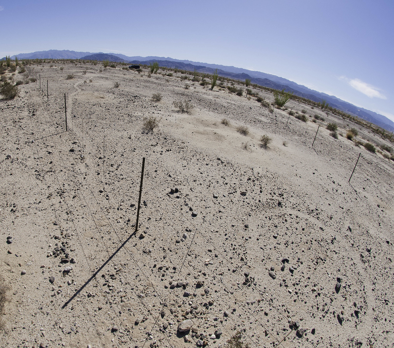 Power Geoglyph3 by tomteske, on Flickr Power Geoglyph3 by tomteske, on Flickr
Finally got back on I-8 and took the Mt Springs exit. Parked under the overpass, grabbed my pack and headed north. Over a draw, I entered Devil's Canyon in the Southern part of ABDSP.
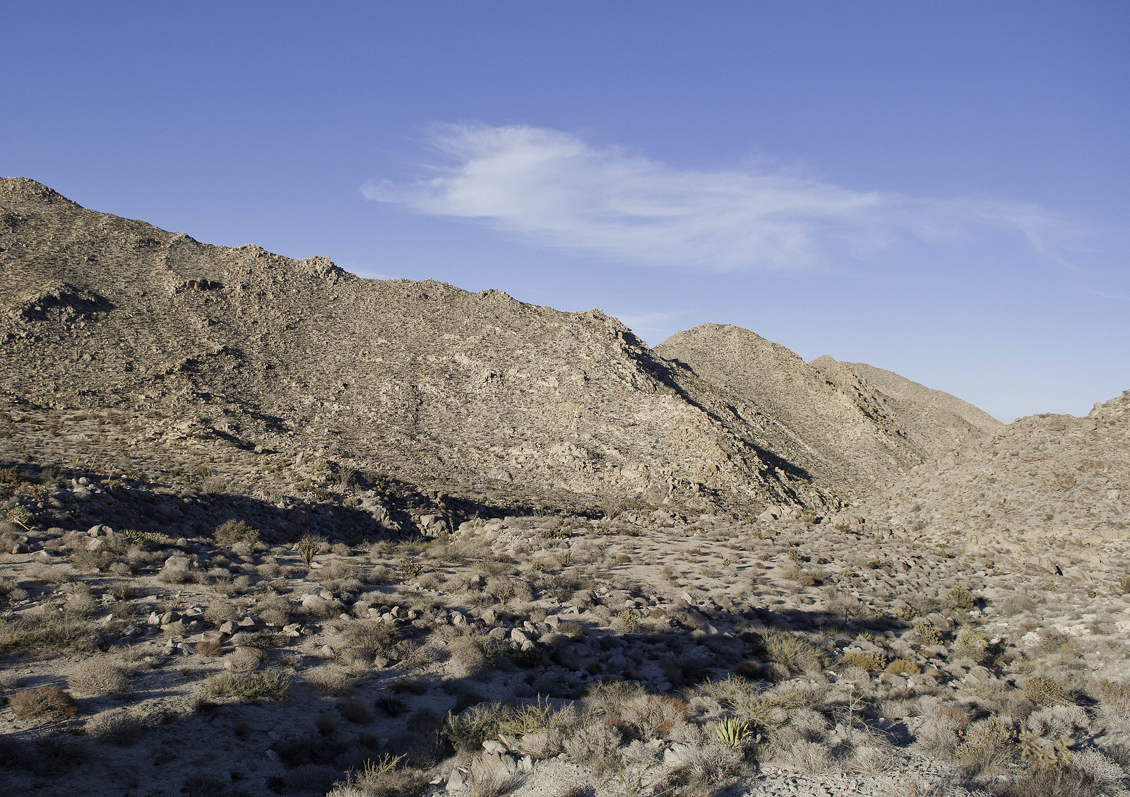 Devils Canyon by tomteske, on Flickr Devils Canyon by tomteske, on Flickr
Heard a noise on the ridge to the West and saw these guys. Ended up being 14 sheep including three collared ewes. This was the first group of six.
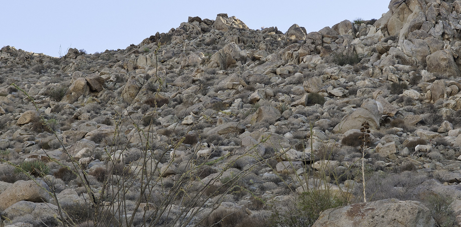 Group of Six by tomteske, on Flickr Group of Six by tomteske, on Flickr
Here's the second group of eight.
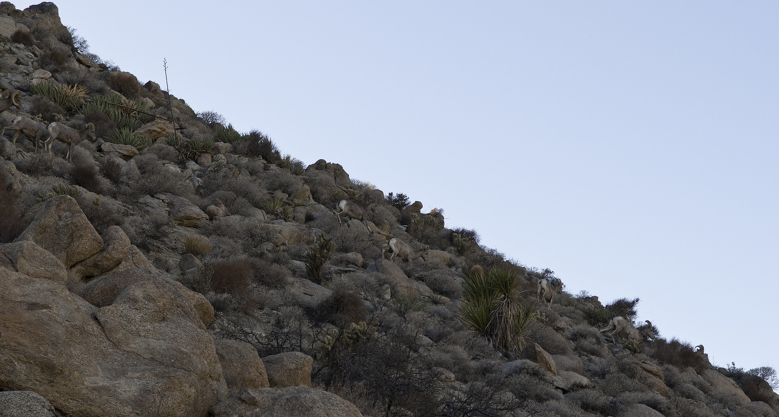 Group of Eight by tomteske, on Flickr Group of Eight by tomteske, on Flickr
Some of the tagged ewes. Daren says the CDFW runs the program but nothing has happened in the past five years secondary to funding issues.
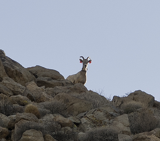 Red Collar Red Tags by tomteske, on Flickr Red Collar Red Tags by tomteske, on Flickr
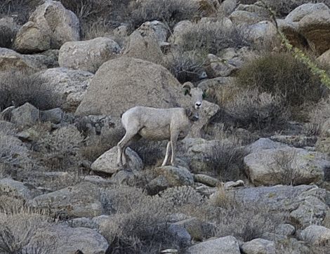 Green Collar Green Tags by tomteske, on Flickr Green Collar Green Tags by tomteske, on Flickr
Here's a couple rams because it's rutting season. The pics are heavily cropped because I didn't have a big lens with me.
 Two Rams by tomteske, on Flickr Two Rams by tomteske, on Flickr
Ended up climbing out of Devil's Canyon onto one of the two roads descending from Table Mt to Mt. Springs. The road was covered with fresh tracks and sheep scat. Nice view toward the Dos Cabeza area.
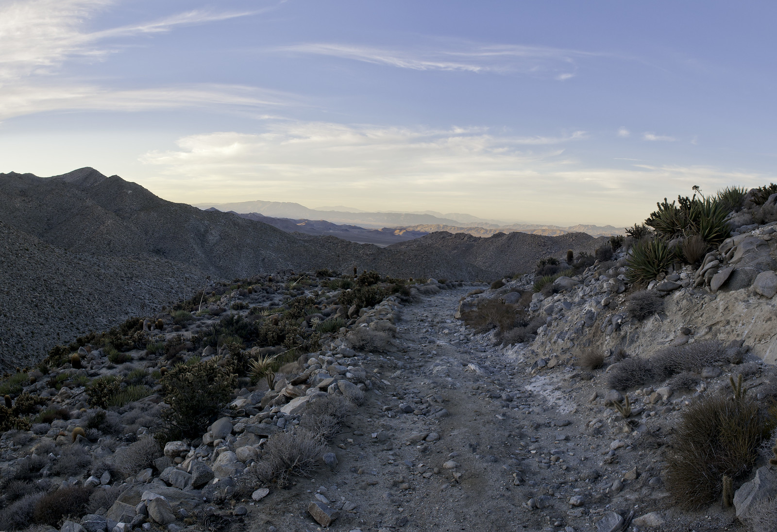 Above Mt Springs by tomteske, on Flickr Above Mt Springs by tomteske, on Flickr
The road leads to Mt Springs and what remains of the 1860's stage coach stop. Low stone walls remain from buildings and corrals with the trough a much later addition. The "Mt Springs" across I-8 to the East was developed later for the Hwy 80 gas station.
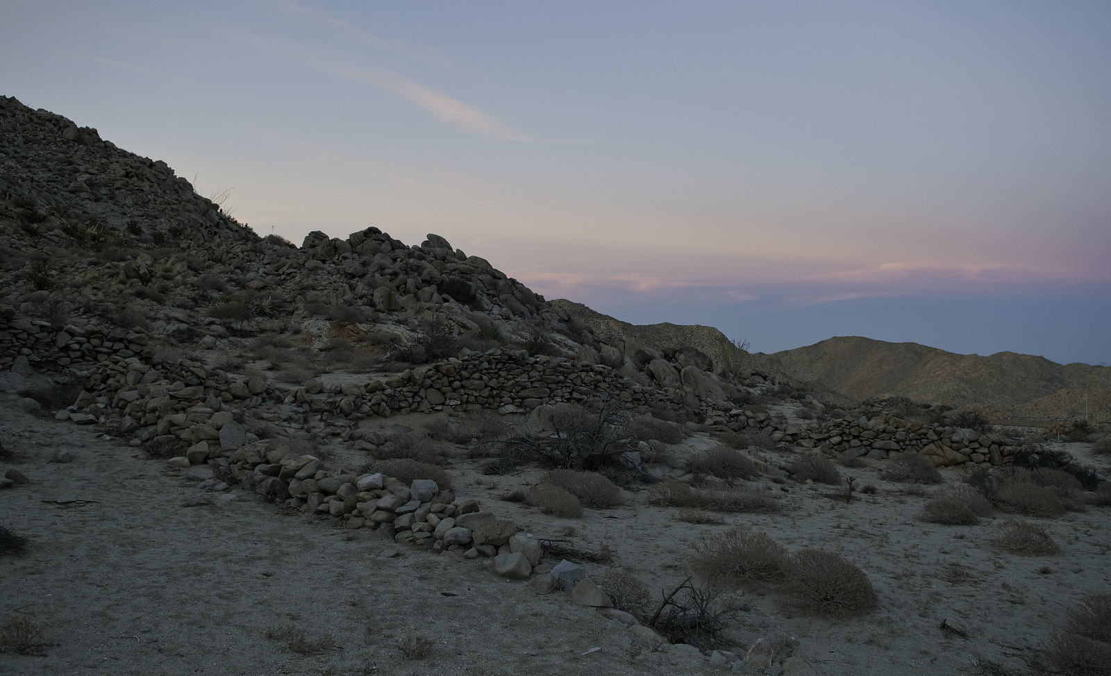 Mt Springs Corrals by tomteske, on Flickr Mt Springs Corrals by tomteske, on Flickr
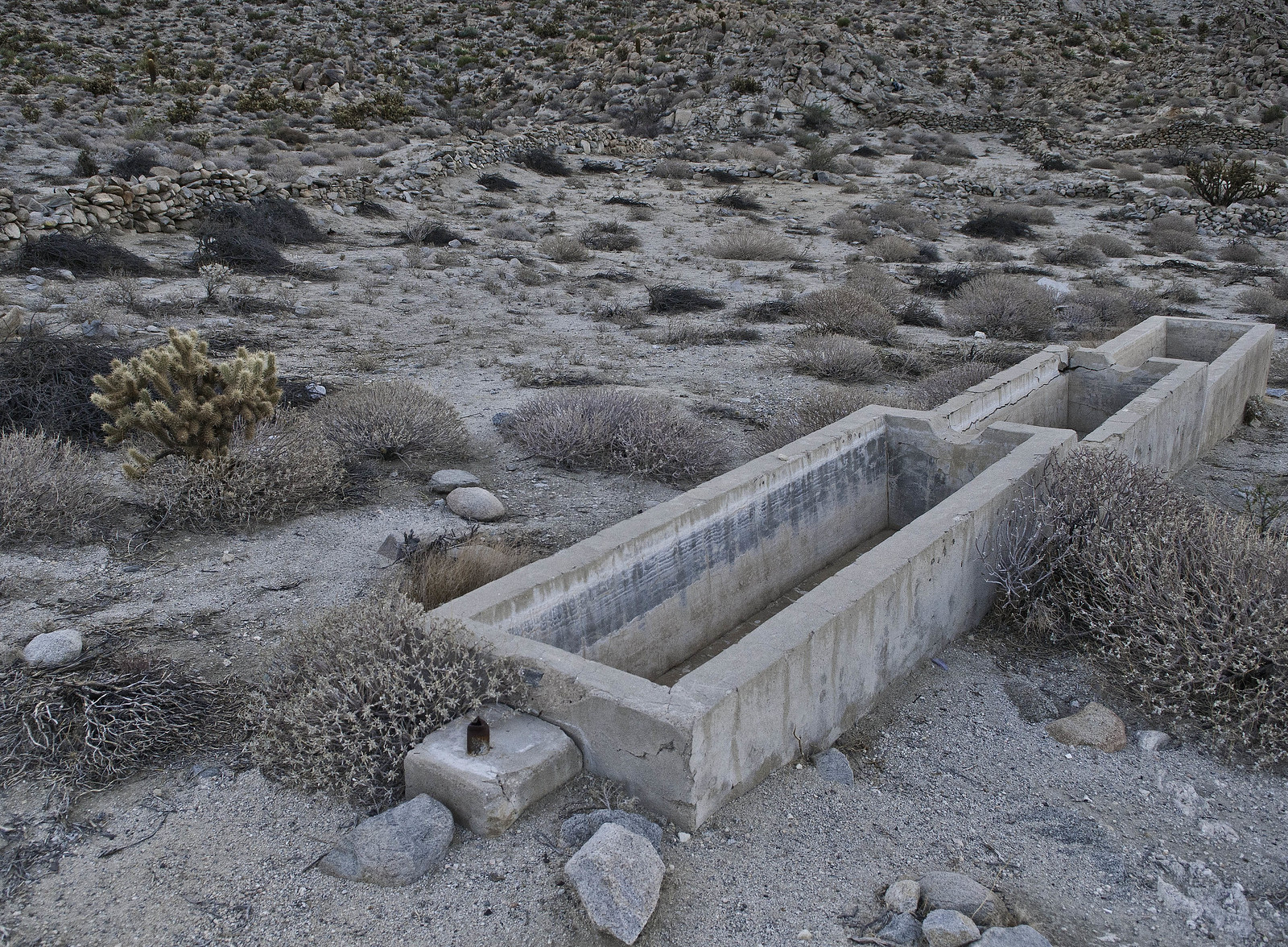 Mt Springs Trough by tomteske, on Flickr Mt Springs Trough by tomteske, on Flickr
There is no access to the site from I-8 but it's an easy .8 miles from Mt. Springs exit if you walk outside the freeway fence. Saw a CHP looking through some guy's camera who was stopped here a few weeks back. Was thinking he might be getting cited but who knows.
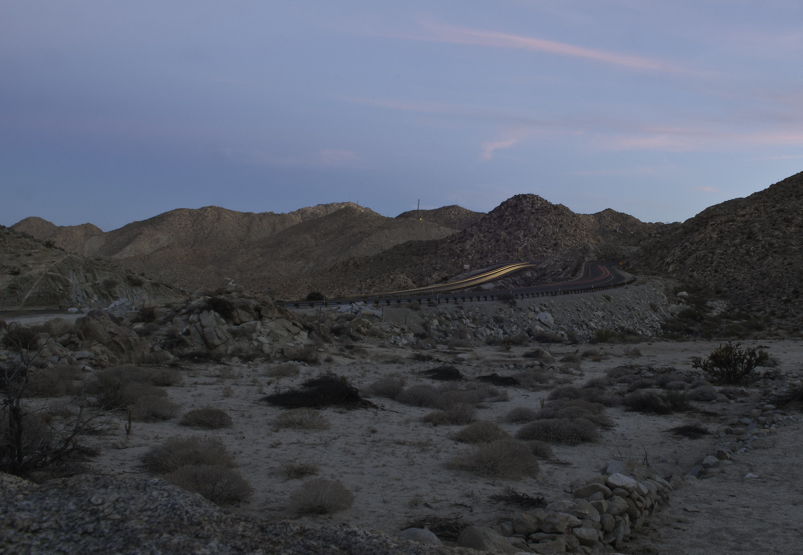 Dusk at Mt Springs by tomteske, on Flickr Dusk at Mt Springs by tomteske, on Flickr
Was getting dark, so hiked back to the truck and headed on to SD. Enjoy. Tom
|
|
|
link
|
|
dsefcik Administrator Posts: 2634
10/23/2014
|
Nice TR Tom, I like the freeway shot with the car lights...looks like you are also getting some good use out of the fisheye.
If you wondered how Tom gets these geoglyph shots, here he is on a recent trip to the Mojave photographing the Mojave Twins

Here is a very skewed 4 photo stitched panorama of the Mojave Twins, both of these are from my Pentax 6x7 film camera

--
http://www.sefcik.com
http://www.darensefcik.com
http://www.carrizogorge.com
|
|
|
link
|
|
anutami Posts: 491
10/23/2014
|
nice pics, your fish eye lens is sweet.
Yes, I was actually wondering how you were getting those shots. 
|
|
|
link
|
|
tommy750 Posts: 1086
10/23/2014
|
Nolan (anutami) wrote:
nice pics, your fish eye lens is sweet.
Yes, I was actually wondering how you were getting those shots. 
Usually use the monopod instead of a tripod but forgot it for this trip. A drone would be ideal but not really counting on Santa to come through with that  Daren, the 10mm fisheye works well and you can flatten the image a bit in photoshop if necessary. Tom Daren, the 10mm fisheye works well and you can flatten the image a bit in photoshop if necessary. Tom
edited by tommy750 on 10/23/2014
|
|
|
link
|
|
tommy750 Posts: 1086
10/23/2014
|
dsefcik wrote:
Here is a very skewed 4 photo stitched panorama of the Mojave Twins, both of these are from my Pentax 6x7 film camera

Would be hard to tell that's not the way it actually looks. Is your file like 300MP? Tom
|
|
|
link
|
|
dsefcik Administrator Posts: 2634
10/23/2014
|
tommy750 wrote:
[
Would be hard to tell that's not the way it actually looks. Is your file like 300MP? Tom No, scanned those small...24mp...you can see the left photos are not as sharp and the exposure is different. That 8lb camera is hard to hold steady on top of your truck..
--
http://www.sefcik.com
http://www.darensefcik.com
http://www.carrizogorge.com
|
|
|
link
|
|
rockhopper Posts: 678
10/26/2014
|
Kinda similar to the Blyte Intaglios near the Colorado river. Done by the same tribe? Neat photography again..
That buck with the red earrings is hilarious !
|
|
|
link
|
|
ziphius Posts: 911
10/26/2014
|
Nice trip report Tom. Yup, that one sheep looks ridiculous. 
--
http://www.coyotelearning.org
|
|
|
link
|
|
tommy750 Posts: 1086
10/26/2014
|
Yeah the red and green ear tags with the matching red and green collars were kinda interesting. Is that the standard tagging technique?? I don't know. Was nice to see a bunch of sheep where there weren't any a few years back. Tom
|
|
|
link
|
|
dsefcik Administrator Posts: 2634
10/27/2014
|
tommy750 wrote:
Yeah the red and green ear tags with the matching red and green collars were kinda interesting. Is that the standard tagging technique?? I don't know. Was nice to see a bunch of sheep where there weren't any a few years back. Tom I have seen some goofy combinations of colors with the tag/collar sheets they give us at the sheep count. I don't really know the reason behind it though.
--
http://www.sefcik.com
http://www.darensefcik.com
http://www.carrizogorge.com
|
|
|
link
|