Review a product you have used out on the trail
New Free BLM Routes of Travel Map App
|
tommy750 Posts: 1068
1/25/2015
|
A couple weeks ago I was talking with Jeff Sahagun, BLM El Centro GIS specialist/archaeologist, and he mentioned BLM routes of travel were available on Avenza System's PDF Maps. Downloaded it to my android and had a chance to check it out while driving around the Yuha Desert this afternoon. Worked real well with the geolocalization feature coming in real handy in the maze of BLM roads out in the Yuha. Here's the no brainer steps to getting it:
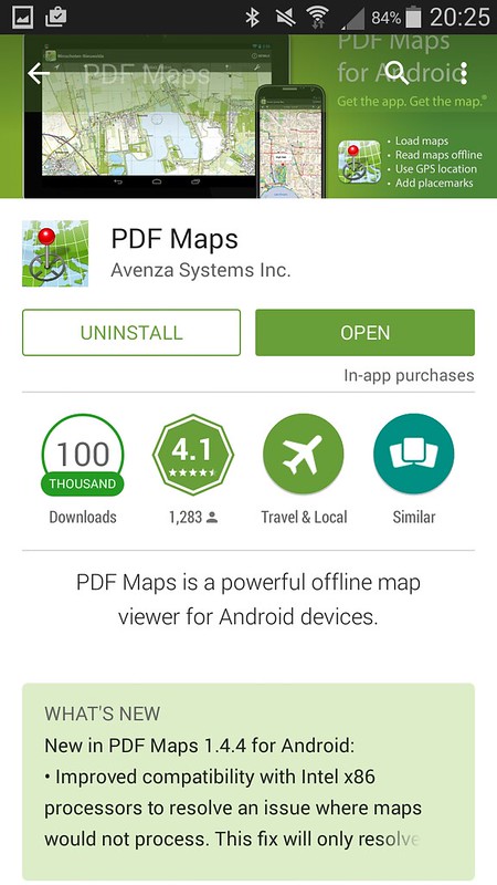
Download PDF Maps from Android PlayStore or Apple App Store. Haven't tried it on my iPad since I forgot my iTunes password 
 Screenshot_2015-01-25-20-25-28 by tomteske, on Flickr Screenshot_2015-01-25-20-25-28 by tomteske, on Flickr
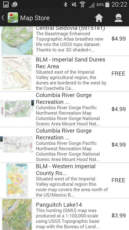
Once installed, click on the app's shopping cart icon and search for "BLM." You can use either the map/list to find the Imperial Valley choices. Jeff said there were three, Western Imperial County, Eastern Imperial County and the sand dunes but I'm not finding the Eastern map.
 Screenshot_2015-01-25-20-21-01 by tomteske, on Flickr Screenshot_2015-01-25-20-21-01 by tomteske, on Flickr
 Screenshot_2015-01-25-20-22-06 by tomteske, on Flickr Screenshot_2015-01-25-20-22-06 by tomteske, on Flickr
Here's a view of Yuha. There's a lot of other features you can use in the app and it apparently interfaces with GE although I haven't tried transferring kml/kmz files yet.
 Screenshot_2015-01-25-20-13-35 by tomteske, on Flickr Screenshot_2015-01-25-20-13-35 by tomteske, on Flickr
You can also download the familiar ABDSP PDF map by searching "Anza Borrego". For FREE, not a bad app. Tom
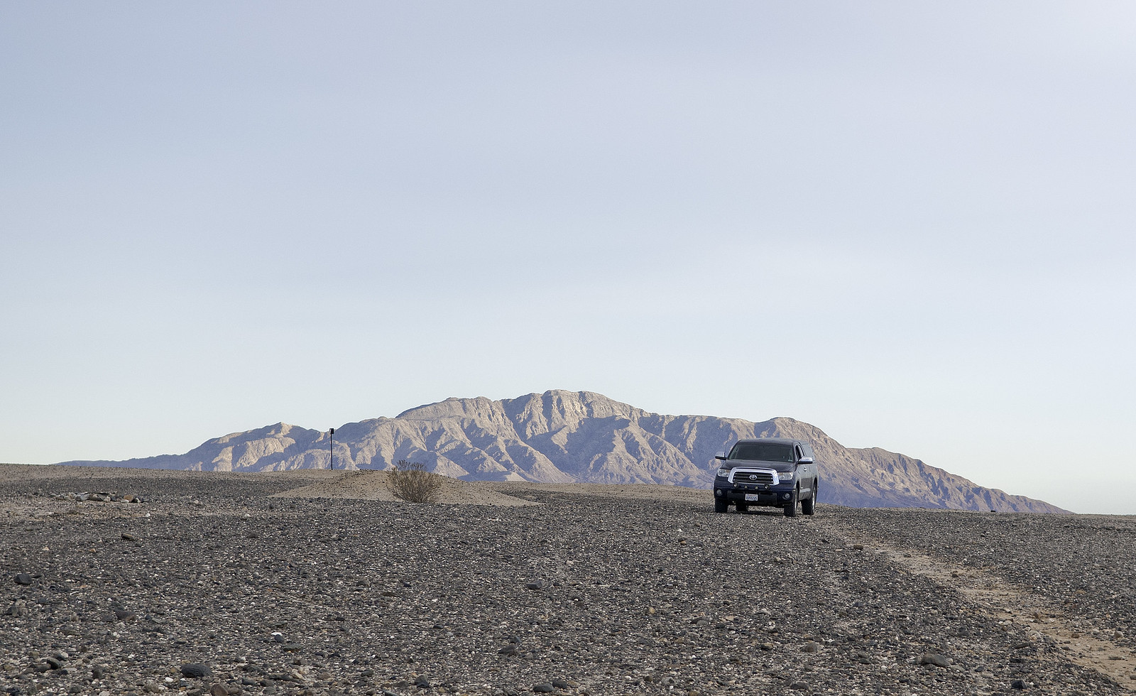
 Cerro Centinela by tomteske, on Flickr Cerro Centinela by tomteske, on Flickr
|
|
|
link
|
|
surfponto Administrator Posts: 1369
1/26/2016
|
Looks pretty cool Tom. Will check out the Android version
--
https://www.anzaborrego.net/


|
|
|
link
|