11/28/2017
Topic:
Mountain Springs to Juniper springs
Britain
|
I have seen the other pictures of yours at the second palm grove. I think looking from the bottom up just shows the boulders. I was pretty disappointed with the weather. We planned for 2 months to get up to the valley on top of the second palm grove. It's always cool to see water in the desert. Seen a lot last year following the R&R service trail. Some of it was coming out of the hills on the east side. We were up in VOM about 5 years ago and there was about a foot of snow. I'll make a trip to VOM the near future, I still want to see if its possible to come down somewhere around peak 4004 back into Myers and out. The boulder hopping cant be much worse than going up! I may need to do this in a couple overnighters. My age is catching up with me. |
11/28/2017
Topic:
Rockhouse, Jacumba Jim, Four Frogs and East Fork
Britain
|
Is there a map showing 4 frogs and Jims? I see gps tracks but no call outs. |
11/28/2017
Topic:
Mountain Springs to Juniper springs
Britain
|
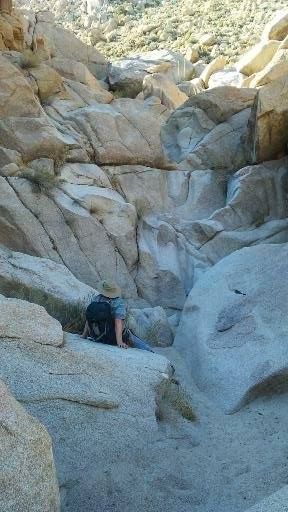
was resting up looking for a way over that waterfall, wife says I got this and was up on top before I could get up. Competition.
edited by Britain on 11/28/2017 |
11/28/2017
Topic:
Rockhouse, Jacumba Jim, Four Frogs and East Fork
Britain
|
Owls are pretty much bad arse, wonder what took it down? |
11/29/2017
Topic:
Rockhouse, Jacumba Jim, Four Frogs and East Fork
Britain
|
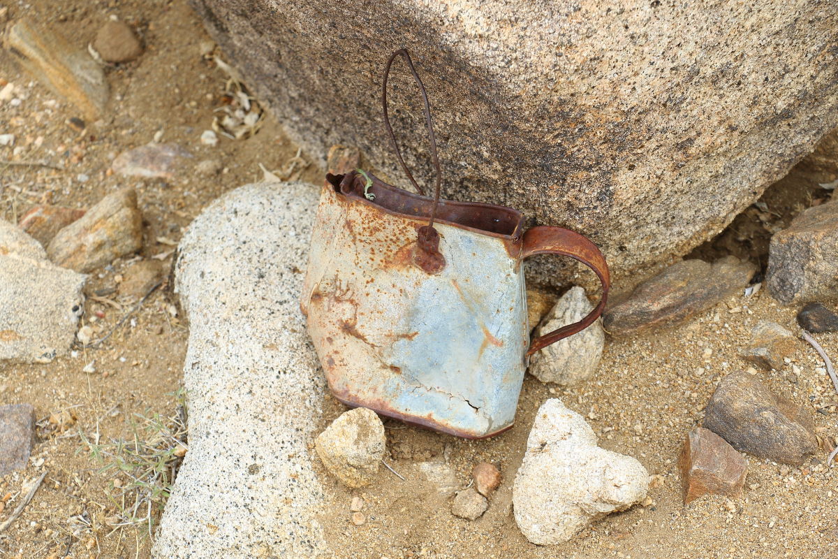
Went up the Jacumba Jim Canyon today. Went as far as where you guys left and went up to McCain. I think the owl is a Burrowing owl, I seen one in the water area. I also found a Montero with a stone in it, not yours. Found a well-defined trail leading up a northern facing wash which led straight to a roasting pit. Found an old can up on the north side rocks. Wonder if someone lived here a while back. Certainly got cooler closer to the McCain exit. And yes the soft sand in Carrizo is a mess!
edited by Britain on 11/29/2017 |
11/29/2017
Topic:
Rockhouse, Jacumba Jim, Four Frogs and East Fork
Britain
|
dsefcik wrote:
Britain wrote:
And yes the soft sand in Carrizo is a mess!
Coffee pot? Yeah, deep sand in CG right now
Looks like it perhaps was being used to transport water. Found a bunch of the 2X2 by 4 ft long wooden square stakes up on the northern hill. Cool place anyway. |
11/30/2017
Topic:
Rockhouse, Jacumba Jim, Four Frogs and East Fork
Britain
|
tommy750 wrote:
Britain wrote:
Went up the Jacumba Jim Canyon today. Went as far as where you guys left and went up to McCain. I think the owl is a Burrowing owl, I seen one in the water area. I also found a Montero with a stone in it, not yours. Found a well-defined trail leading up a northern facing wash which led straight to a roasting pit. Found an old can up on the north side rocks. Wonder if someone lived here a while back. Certainly got cooler closer to the McCain exit. And yes the soft sand in Carrizo is a mess!

edited by Britain on 11/29/2017
You went all the way up to McCain? Did you veer to the south and end up by those dirt roads/trails? Looks a little bouldery through there  Looks like a nice canyon to explore. Looks like a nice canyon to explore.
No I stopped about where you guys left the canyon after the last palms. I'll probably be back before the season ends. |
11/30/2017
Topic:
Rockhouse, Jacumba Jim, Four Frogs and East Fork
Britain
|
We found a similar can on the R@R service trail. If so it's an old one. Along the hill, there were old rusted remains of stuff scattered about. I guess it could have been used for coffee, original shape was round. Someone a long time ago was looking for gems or something. I didnt see any dugouts.
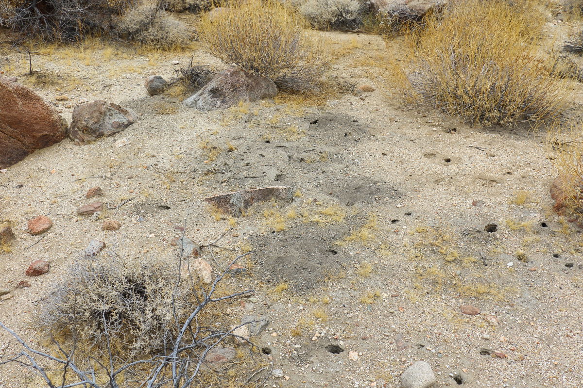
Heres the trail I found to the roasting pit. You can slightly see it on the culvert side.
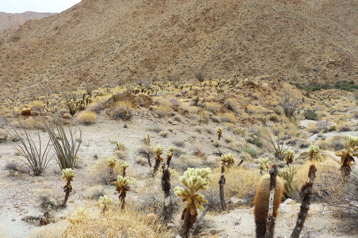

The roasting pit the trail ended at.
 |
12/6/2017
Topic:
A Red Desert
Britain
|
Awesome! |
12/6/2017
Topic:
Rockhouse / Buck Ridge
Britain
|
Nice! |
12/6/2017
Topic:
A different desert
Britain
|
Great sunsets! A friend of mine posted some pictures of that statue on FB. |
12/6/2017
Topic:
Pinyon Valley Road Condition?
Britain
|
Much is hard packed, some areas rough. Don't recall any sand. Never put rig in 4X4.
edited by Britain on 12/6/2017 |
12/9/2017
Topic:
Red Hill
Britain
|
Buford wrote:
Nice. I have yet to hit Red Hill.
Any idea how many sheep DFG was able to tag?
No, they were not very friendly. Perhaps the one I was talking to had a bad night or something. |
12/10/2017
Topic:
A trip started in the desert
Britain
|
Awesome ! Thanks for sharing, one of my favorite places. |
12/11/2017
Topic:
Road to Mt Palm Springs primitive camp
Britain
|
Carrizo is bad as soon as you exit off S2, its that way for about 2 miles. Pulled a 4x4 out which got stuck about 500ft off of S2 . |
12/13/2017
Topic:
A trip started in the desert
Britain
|
dsefcik wrote:
Not familiar with that area but looks nice. We did a 7 day backpack end of Sept over Crabtree Pass annd Rock Creek...never got around to posting anything but some photos and gps tracks are here if interested. Days were 40/50's and nights were below 20....cold.....
Beautiful country out there, thanks for sharing.
Wow looks like the same route we took back in the early 80's. Nice pics! |
12/14/2017
Topic:
Road to Mt Palm Springs primitive camp
Britain
|
Carrizo sort of reminds me of the east side of the Salton Sea. People just like to drive down the beach so to speak. Once they break through that crust into the gloppy stuff its all over. If you know how to drive in soft sand you'll have no issues. I was out there a couple weeks ago nothing packed down yet. Didnt need to use 4 wheel drive either. |
12/14/2017
Topic:
Road to Mt Palm Springs primitive camp
Britain
|
If your stuck get an FB account for SoCal Off-road Recovery SOS ( link below). In imperial Country theres a couple of us that can assist if we're online and notice the request.
https://www.facebook.com/groups/scor.sos/ |
12/19/2017
Topic:
Split Mountain East and West
Britain
|
Nice . We have an Apartment in Santa Ana. Understand the travel. But its always good to get out. |
12/19/2017
Topic:
Windy BM
Britain
|
Went after the low hanging fruit. 9 mile hike in total. Found 4 roasting pits. 70 deg out what a great day.
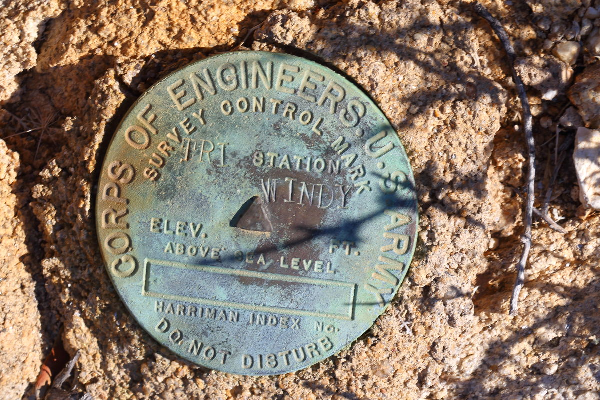
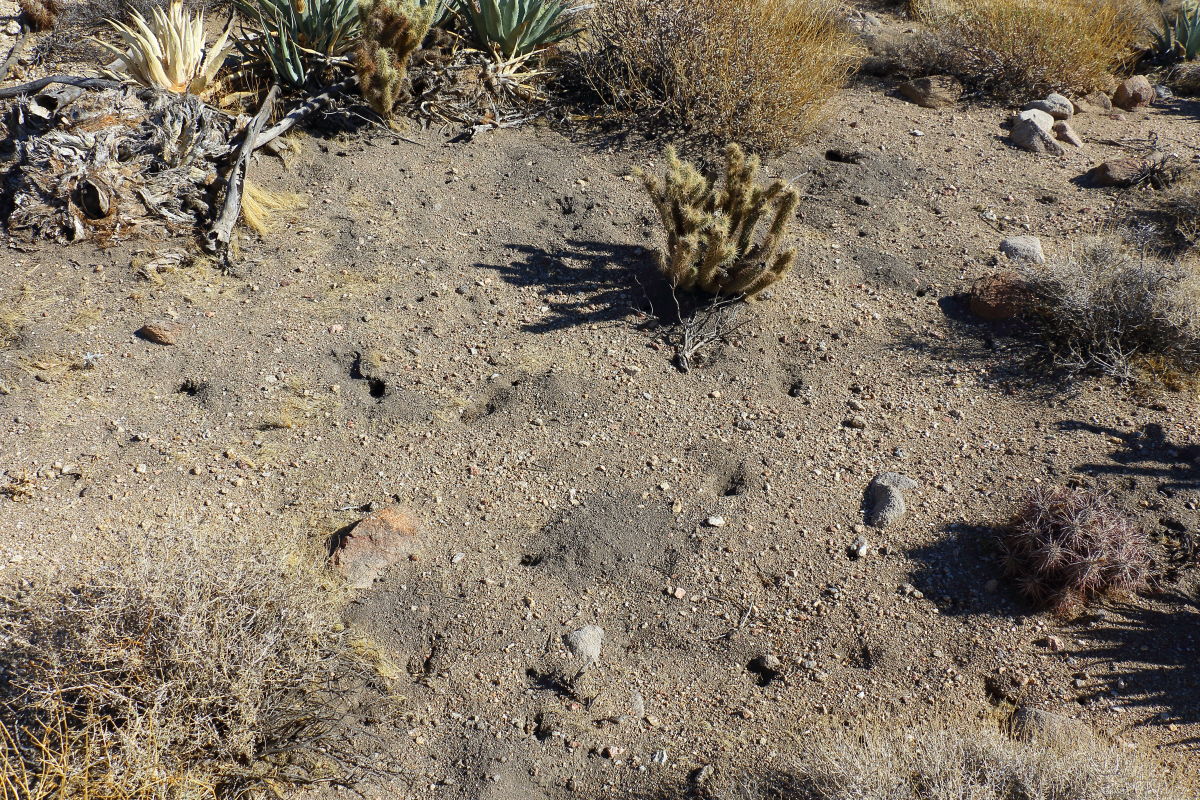
Found 4 roasting pits , this one was just west of the BM. Brings up at least for me how the native Americans lived. I cant see the whole family in these places of the roasting pits. Perhaps the BBQ guys brought back their roast to the family? We explored the area but only found roasting pits and some pottery frags.
 |
12/20/2017
Topic:
Windy BM
Britain
|
tekewin wrote:
Did you follow the tracks from Dos Cabezas? I've been in the area a couple of times but never made it to Windy.
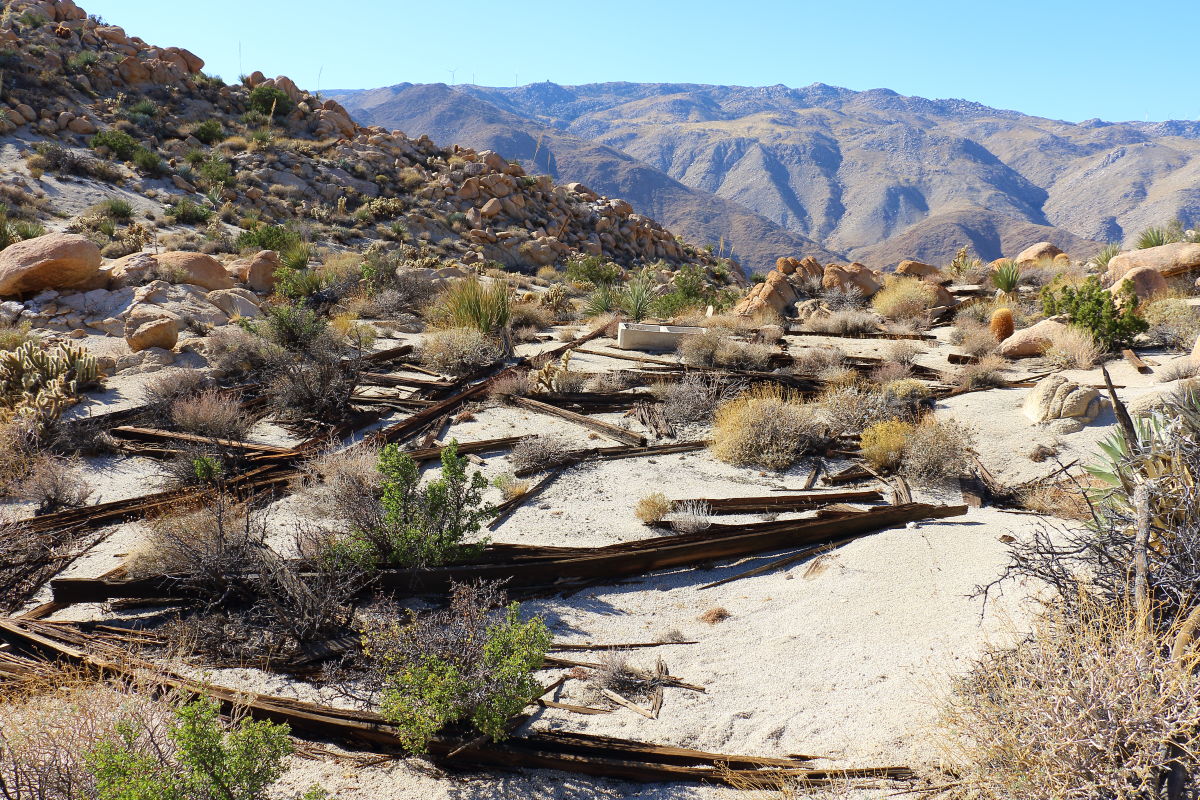
No, we usually enter at Indian hill. We went down the south side of Windy poked around the R&R service trails ruins above the tracks then took off to some unknown canyon to the east to explore. From Indian hill its about 3 miles. This R&R ruin looked like a mess hall. Had sink and lots of baking soda cans laying about.
 |
12/20/2017
Topic:
Windy BM
Britain
|
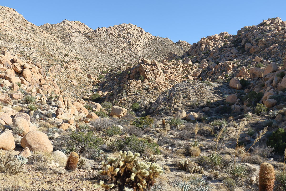
We went up this canyon, east of the service trail. It would have connected back to it just before it once again to drop to the tracks.
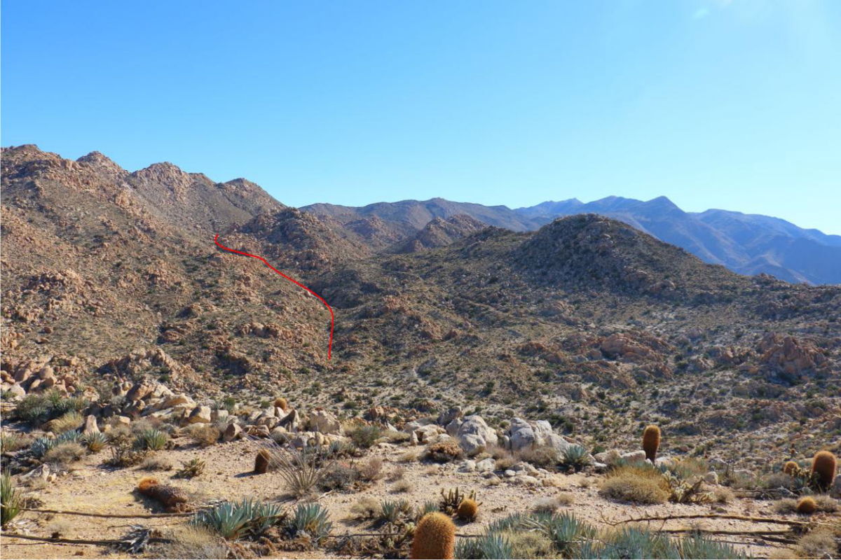
This was midway. At about 1.45pm we had to turn around knowing it would be about 2.5 hrs to get out. But luck would call, we found someones else's headlamp near the tracks. So now we have 2.
edited by Britain on 12/20/2017 |
12/24/2017
Topic:
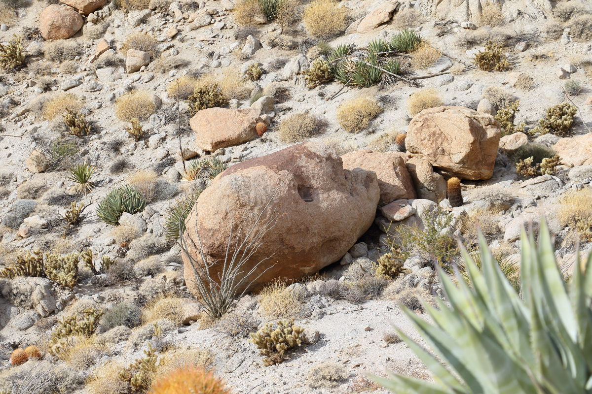
Found a stone head...Desert Prometheus
Britain
|
edited by Britain on 12/26/2017 |
12/26/2017
Topic:
Your Go To AB Book?
Britain
|
tommy750 wrote:
Just purchased this book. Seems apropos during our current political climate to review the local details of our so called Manifest Destiny. Doubt it will be an easy read.
http://newsroom.ucla.edu/stories/revealing-the-history-of-genocide-against-californias-native-americans
Ordered. |
12/26/2017
Topic:
Found a stone head...Desert Prometheus
Britain
|
rockhopper wrote:
Picture of other side? Oh my gosh, looks like a head.
No back shots, the boulder was on the side of a hill opposite of the direction we were heading. One of my wife's hobbies she spotted it. |
12/26/2017
Topic:
Found a stone head...Desert Prometheus
Britain
|
dsefcik wrote:
Britain wrote:
One of my wife's hobbies she spotted it.
She must love McCain Valley then....
Haven't taken her into McCain yet. I should sometime. She wants to do Groan. |
12/29/2017
Topic:
Carrizo Creek, BM LOST and South Mesa
Britain
|
That marsh has sort of dried up recently. There was a fire in the area, happened by and some folks were doing some reclaim. Guess the areas closed now. Need to revisit the area. Thanks for sharing.
Edit: So that was a planned burn ?
edited by Britain on 12/29/2017 |
12/29/2017
Topic:
Carrizo Creek, BM LOST and South Mesa
Britain
|
tommy750 wrote:
Britain wrote:
That marsh has sort of dried up recently. There was a fire in the area, happened by and some folks were doing some reclaim. Guess the areas closed now. Need to revisit the area. Thanks for sharing.
Edit: So that was a planned burn ?
edited by Britain on 12/29/2017
Here's something from Helix, the company hired by Pattern Energy to plan the mitigation, regarding the prescribed burns. Think most of it is completed. Was dark and could really get a feel for what was changed since the last time out.
Edit: Yes they burned up pretty much everything there. Closed it all off. After the 7.2 earthquake, most of the swamp water went underground.
 Carrizo Marsh Mitigation.pdf by tomteske, on Flickr Carrizo Marsh Mitigation.pdf by tomteske, on Flickr
I think the burn was in 2013 or 2014. I seen the burn from the freeway. I think I know where the Lost BM is but cannot find anything on it. Spent some time in Red Rock Canyon via South Mesa. Found the Leckie BM by accident. The squares are really interesting. May go look for them.
edited by Britain on 12/29/2017 |
12/30/2017
Topic:
Your Go To AB Book?
Britain
|
tommy750 wrote:
Britain wrote:
tommy750 wrote:
Just purchased this book. Seems apropos during our current political climate to review the local details of our so called Manifest Destiny. Doubt it will be an easy read.
http://newsroom.ucla.edu/stories/revealing-the-history-of-genocide-against-californias-native-americans
Ordered.
About 1/4 through my copy and difficult to comprehend the genocidal level treatment Native Americans endured at the hands of "enlightened" Westerners. Impossible to exaggerate the suffering endured.
Should get my copy today. My 5th generation grandfather donated cattle to the tail of tears Indians 1836 was a bad winter, 5th gen grandmother died (per bible script notes on cattle)when they got to Missouri. Lots of sadness with the native American culture.
edited by Britain on 12/30/2017
edited by Britain on 12/30/2017 |
12/31/2017
Topic:
Carrizo Creek, BM LOST and South Mesa
Britain
|
Someone dragging it around? Squares, did you put boots on the ground to find them all?
edited by Britain on 12/31/2017 |
12/31/2017
Topic:
Carrizo Creek, BM LOST and South Mesa
Britain
|
Squares seem to run through the old bombing range. Wonder if they were at one time a lookout posts. Seem to be on high ground. |
1/4/2018
Topic:
Your Go To AB Book?
Britain
|
Interview with Benjamin Madley. Bravo for him. "An American Genocide"
https://www.c-span.org/video/?427014-5/an-american-genocide |
1/6/2018
Topic:
Rockhouse, Jacumba Jim, Four Frogs and East Fork
Britain
|
Took my wife up Jacumba Jims today. Theres twice the amount of water in that spring from a month ago. Hasn't been any rain so to speak. |
1/7/2018
Topic:
Jacumba Jims Canyon
Britain
|
After hiking and exploring this area on 2 different packs I have found a few things.
At the beginning of where the water starts, there is this burned area. Looks like a palm caught fire and burned everything in about 20 ft. On the south side of the wall where there is an 8x8 post wrapped in barb wire. I assume that there was a gate here at one time to either keep something in or warning to keep others out.
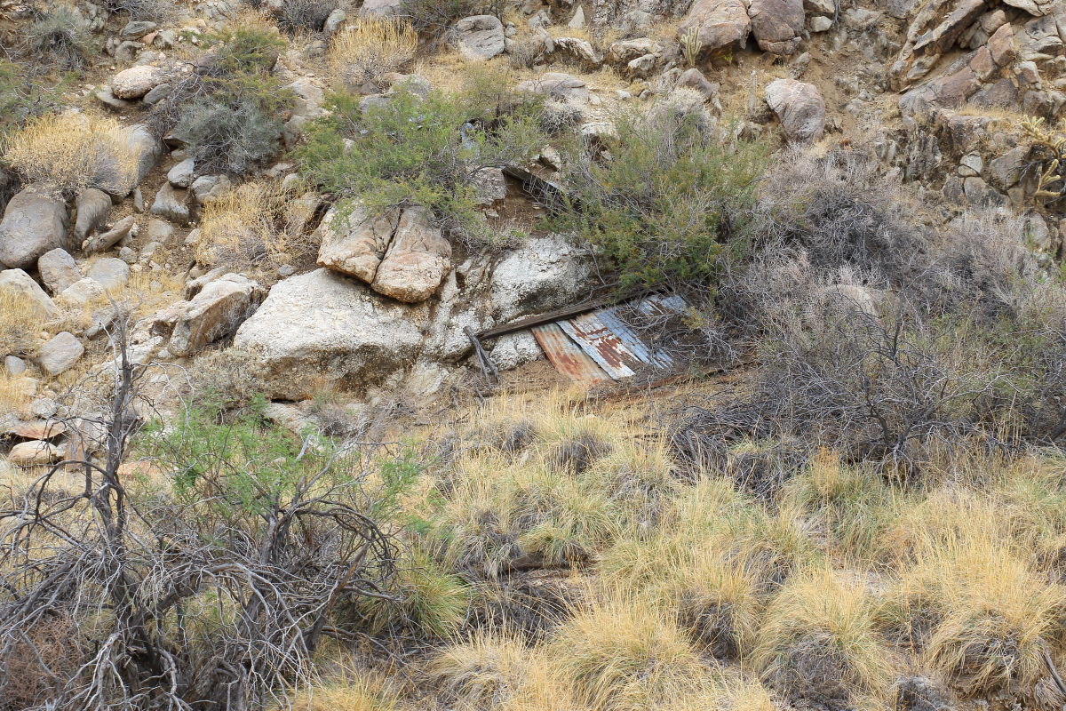
Further up and on the south side is remnants of a shack. It had a galvanized steel roof.
On page 102 of "All the wild and lonely places " " Jacumba Jims Canyon, a route Jim McCain took cattle down to the desert." I think I read this correctly, Jim McCain drove cattle through this area.
First, the shack wasn't from his time so something else was going on there. I did find a trail switchbacking up the south wall further down. But it really didn't go very far and possibly washed out. Perhaps to a mine. You're not driving cattle on it for sure.
That waterfall before the last palm grove you're not driving cattle over or around it. Even looking at any trails on top doesn't really doesn't lead to any route to pass cattle through. Cattle trails really tear up and leave a trail and there's no sign of any. I would not expect to find any in the stream bed.
Did this place just get washed out? I don't feel any cattle were driven through Jacumba Jims. Who is Jacumba Jim?
Edit "Tule Jim McCain" is probably who the canyon is named after. He was alive in the time of galvanized steel.
A snippet from Mable McCain interview:
Mable: Uh huh, I think she does. Although they are right there where the fire was. Burned right
up close and they hadn’t been there but 3 months. They pay an awful lot of rent. John’s Dad
stayed down at Carrizo Gorge in a little old shack for a long time.
The complete ranchers interviews are here:
http://sohosandiego.org/warners/images/ranchinginterviews.pdf
edited by Britain on 1/7/2018
edited by Britain on 1/7/2018
edited by Britain on 1/7/2018
edited by Britain on 1/7/2018
edited by Britain on 1/7/2018
edited by Britain on 1/7/2018
edited by Britain on 1/7/2018
edited by Britain on 1/7/2018
edited by Britain on 1/7/2018
edited by Britain on 1/8/2018 |
1/7/2018
Topic:
Jacumba Jims Canyon
Britain
|
Picture of shack ruins
 |
1/8/2018
Topic:
Winnebago Revel
Britain
|
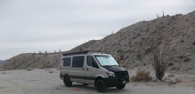
One was putzing about this week at Moutain Palm Springs area. Photo by Doug Guimond. One expensive ride. Congrats!
edited by Britain on 1/8/2018 |
1/8/2018
Topic:
Winnebago Revel
Britain
|
kylekai wrote:
Actually that looks like a Sportsmobile: https://sportsmobile.com They're more expensive usually, and there's a 12+ month wait to get one!
Well, you better get yours before all the parking spaces out here are taken! |
1/8/2018
Topic:
Carrizo Creek, BM LOST and South Mesa
Britain
|
tommy750 wrote:
tekewin wrote:
This was a cool trip. The area around Lost BM looks very interesting. I scanned caltopo around Bow Willow Creek but didn't see Lost on the map. I might have been looking in the wrong place. I noticed the benchmark was placed by the Division of Beaches and Parks. I just saw one of the those marks on top of Sombrero. I guess all of Anza-Borrego is a state park, it's just odd to find those markers in the remote desert.
BM Lost is about 1.2 miles north of where Canyon Sin Nombre dumps into Carrizo Creek. Easy hike and nice views. The only other named BMs I know of out in that area are Pelvis, Valle, Leckie and Gert.
https://www.ngs.noaa.gov/CORS-Proxy/NGSDataExplorer/ is a good source of info on BMs and I use it all the time
Gert is north of the Sin exit into Carrizo. In between? |
1/8/2018
Topic:
Carrizo Creek, BM LOST and South Mesa
Britain
|
Nevermind your picture from the BM tells all. |
1/10/2018
Topic:
Cattle and Anza Borrego
Britain
|
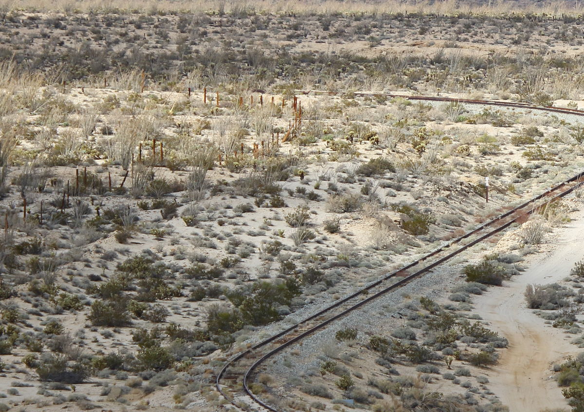
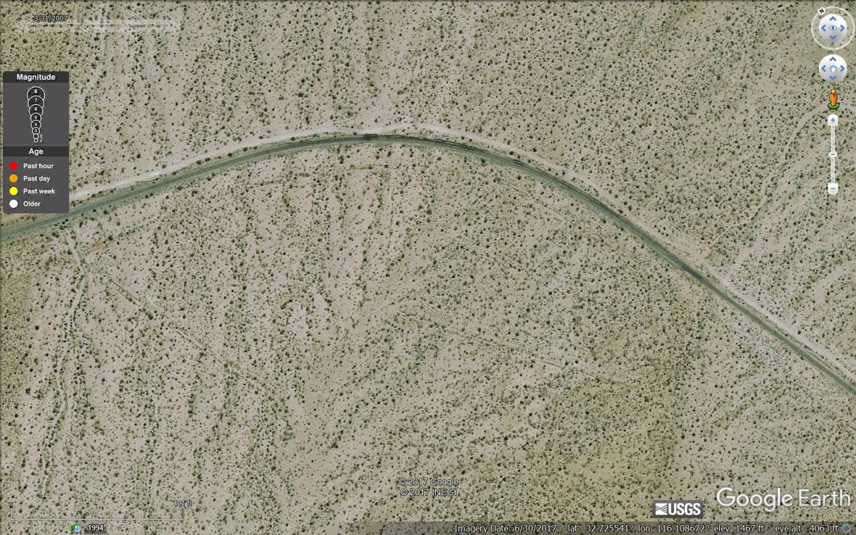
Probably made a big impact on the Native Americans. I've been finding barb wire abouts. Seems like at one time that Devils canyon at the desert was also fenced off. There's a pile of barb wire on a sand hill at the bottom. Found this corral. Its to the left of the tracks. Its clear this was put in after the tracks were placed.
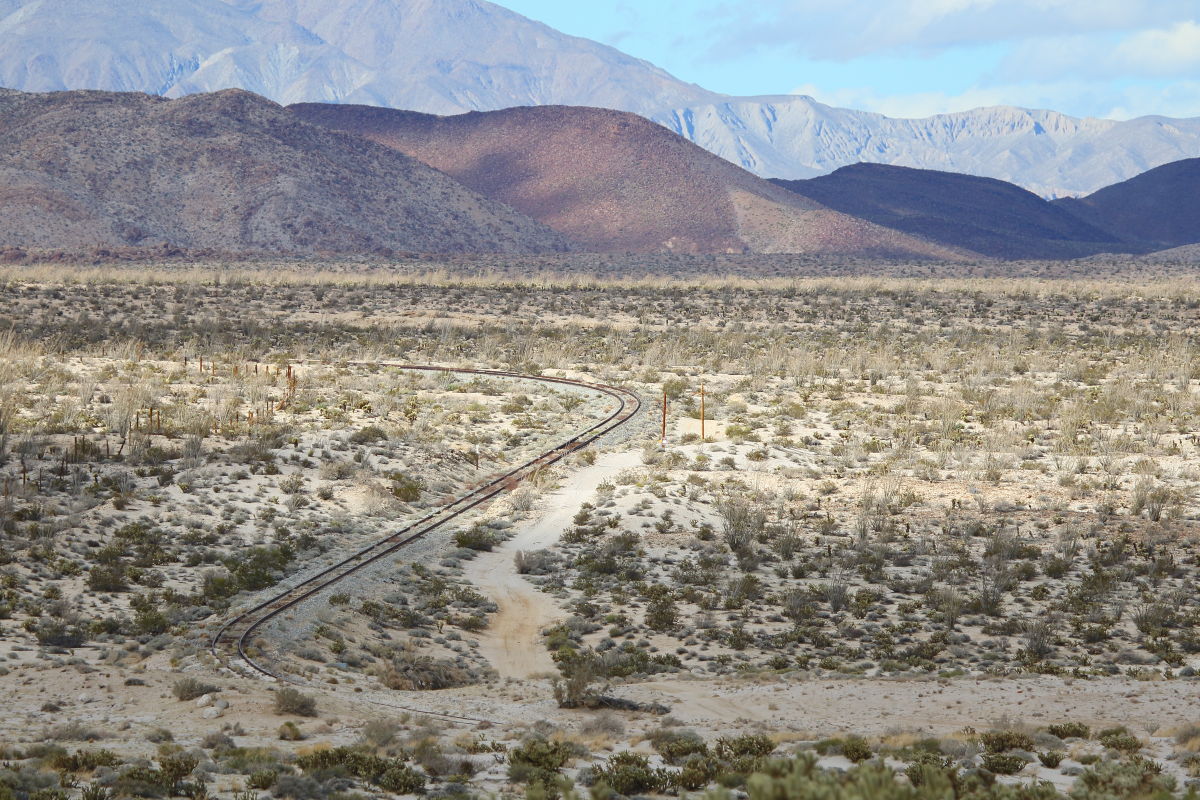
Close up of the Pen.
GE look down
This article on the early cattle cowboys has some interesting reading along with some Native American notes.
http://sohosandiego.org/warners/images/240yearsofranching.pdf
edited by Britain on 1/10/2018
edited by Britain on 1/10/2018 |
1/10/2018
Topic:
Carrizo Badlands
Britain
|
I found the story of that tractor. From Roundranchingfeatures. It was in Part III.
At Carrizo in the 1950’s, Buster McCain cleared some land and planted alfalfa. (1956 Ranger Reports) The tractor he used to accomplish this remains in the area, on the other side of “Clay Hill”, at the old Graves camp.
To irrigate his field, Buster created a berm around the bottom of the east side of clay Hill. The plan was for rain run-off to be channeled to a small earthen dammed reservoir he had constructed at the southern end of the hill.
Consequently, this activity is what destroyed a large portion of what remained of the Carrizo Stage Station.
edited by Britain on 1/10/2018 |
1/15/2018
Topic:
Carrizo Gorge East Side
Britain
|
The last picture, that little section of the trail..boy nailed me with cholla. On the way back I went around the other side of that hill! |
1/16/2018
Topic:
Carrizo Creek, BM LOST and South Mesa
Britain
|
Went in and tagged the Lost BM. Had the great idea of preplanning on cutting through the badland area east of that marker. Go get Gert and see two of the rock squares. Well, the badlands won. Spent 4 hrs in it. Found another Park BM, a pole on top of a high narrow ridge with no way of getting up to it, possible a Geocache. I think if I had my rock hammer at one area a few step hold and I could of went up to the next mesa. They certainly took a swipe at that tamarack. Burned through the center Carrizo, also looks like heavy equipment went in a cut up a bunch. There's plenty more left to be torched. |
1/16/2018
Topic:
Carrizo Creek, BM LOST and South Mesa
Britain
|
tommy750 wrote:
Britain wrote:
Went in and tagged the Lost BM. Had the great idea of preplanning on cutting through the badland area east of that marker. Go get Gert and see two of the rock squares. Well, the badlands won. Spent 4 hrs in it. Found another Park BM, a pole on top of a high narrow ridge with no way of getting up to it, possible a Geocache. I think if I had my rock hammer at one area a few step hold and I could of went up to the next mesa. They certainly took a swipe at that tamarack. Burned through the center Carrizo, also looks like heavy equipment went in a cut up a bunch. There's plenty more left to be torched.
Would have to agree, east of BM Lost definitely puts the bad in badlands. I climbed up to South Mesa and then followed the NE drainage into Gert and followed that due east bypassing all the fun 
Well. guess I'll go a bit north next and see if I can get up.to South. The same Idea follow the wash down to Gert. |
1/17/2018
Topic:
Carrizo Creek, BM LOST and South Mesa
Britain
|
Here's the other marker. It's in the badlands area. About 1/4 east of Lost and a bit south. I took a lot of Photos from lost into the badland. Theres an oddity of the lone pole on the ridge. On the other side which I didn't go there's another pole at the base.
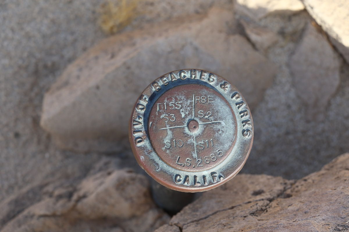 |
1/17/2018
Topic:
Interesting oddity in the Carrizo Creek Badlands.
Britain
|
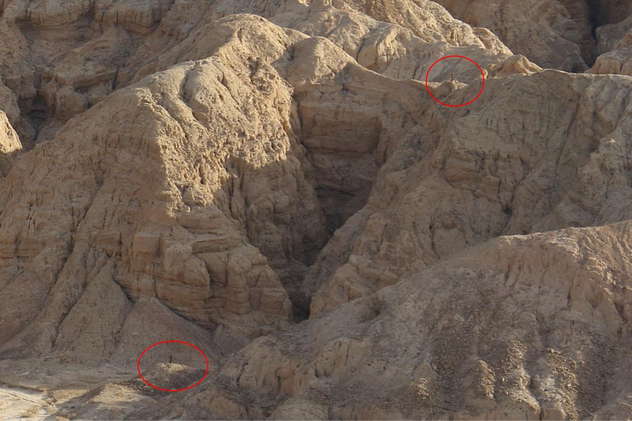
I was trying to find a way to cut across and get up on the South mesa. While going in all those slots I looked up and there was a wooden pole up on the ridge. The ridge is a 'V notch" type ridge. Someone took some amount of risk placing it there. Or the ridge at one time was thicker. Heres some pictures. The first 3 are taken from the Lost BM hill. Shows the area.
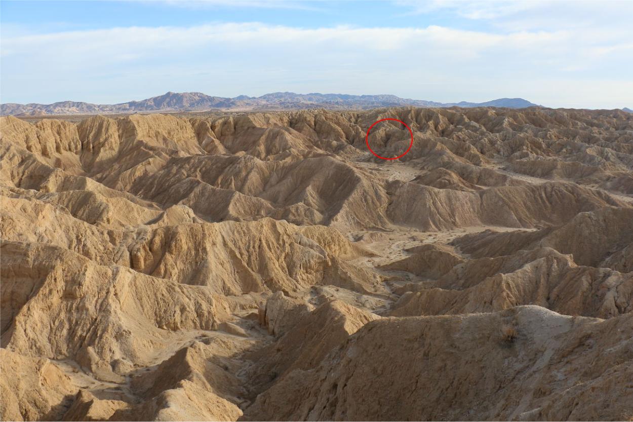 Closer Closer
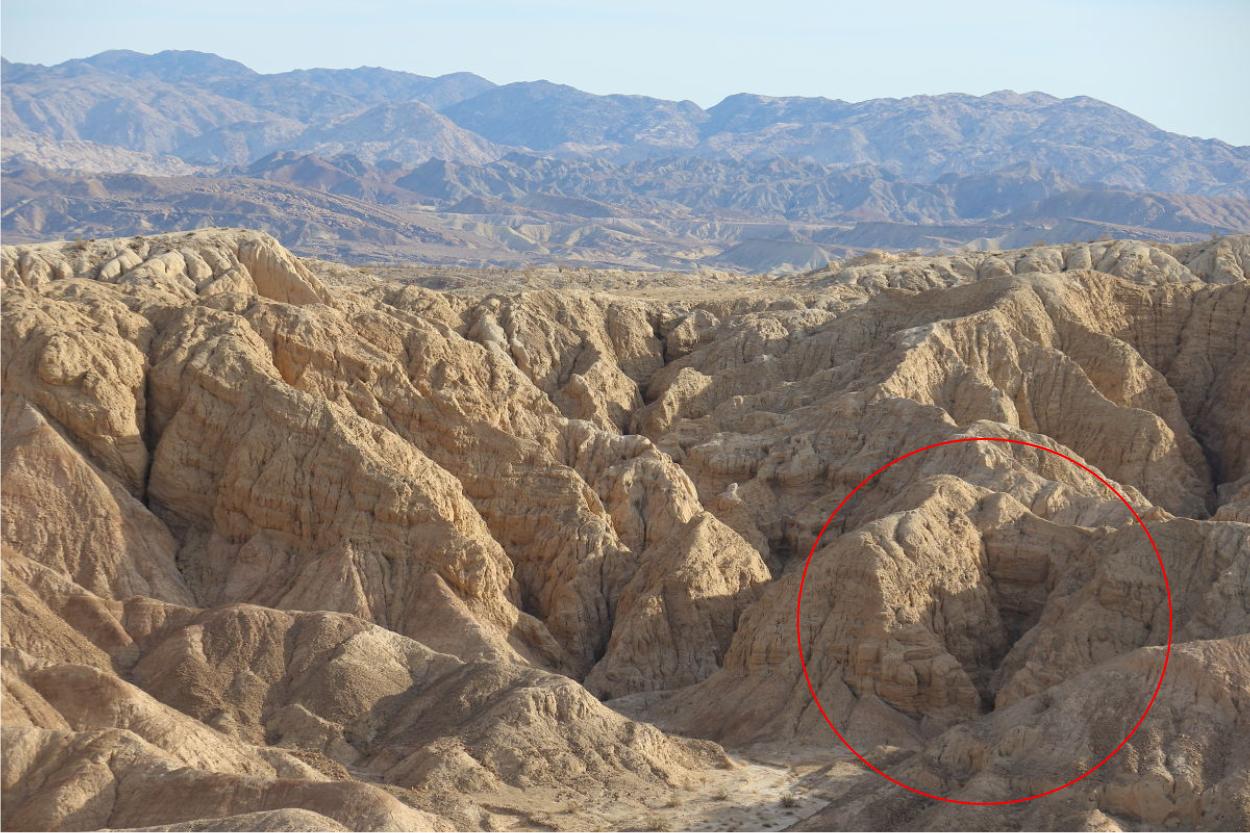 And you can see the pole on top and theres a pole on the bottom. And you can see the pole on top and theres a pole on the bottom.
Here's the pictures from the backside
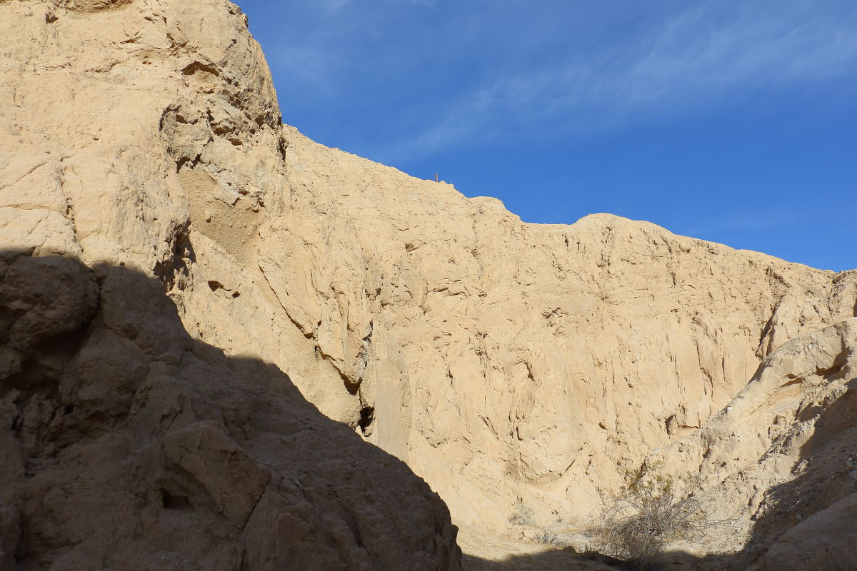 And a close-up of the pole And a close-up of the pole
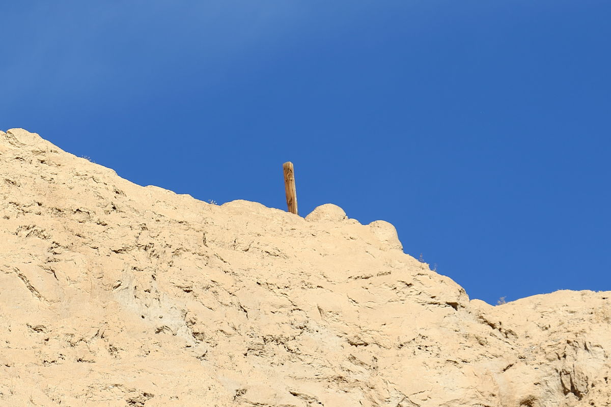 So what do we have here? The lost Carrizo creek gold mine? Another king tut tomb? Curiosity has the cat. Must go back. So what do we have here? The lost Carrizo creek gold mine? Another king tut tomb? Curiosity has the cat. Must go back.
edited by Britain on 1/17/2018 |
1/18/2018
Topic:
Interesting oddity in the Carrizo Creek Badlands.
Britain
|
rockhopper wrote:
Looks like a claim marker. You see them all over the south west deserts out in the middle of nowhere.
Yes most likely is but I'm hoping for a zip line  |
1/18/2018
Topic:
Carrizo Creek, BM LOST and South Mesa
Britain
|
BTY I did find a path up through the badland to south mesa. Theres a pole or something on the top. I think its a marker for the way. For me it opens up South mesa and Red Canyon beyond. 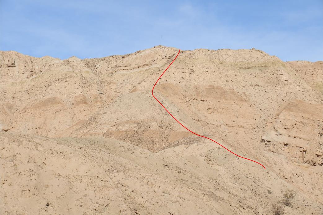 |
1/18/2018
Topic:
Interesting oddity in the Carrizo Creek Badlands.
Britain
|
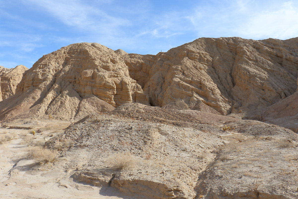
Went back in today. Didnt find any mines geology is a lot of that mud cave stuff.
  |
1/18/2018
Topic:
Red Dawn sort of
Britain
|
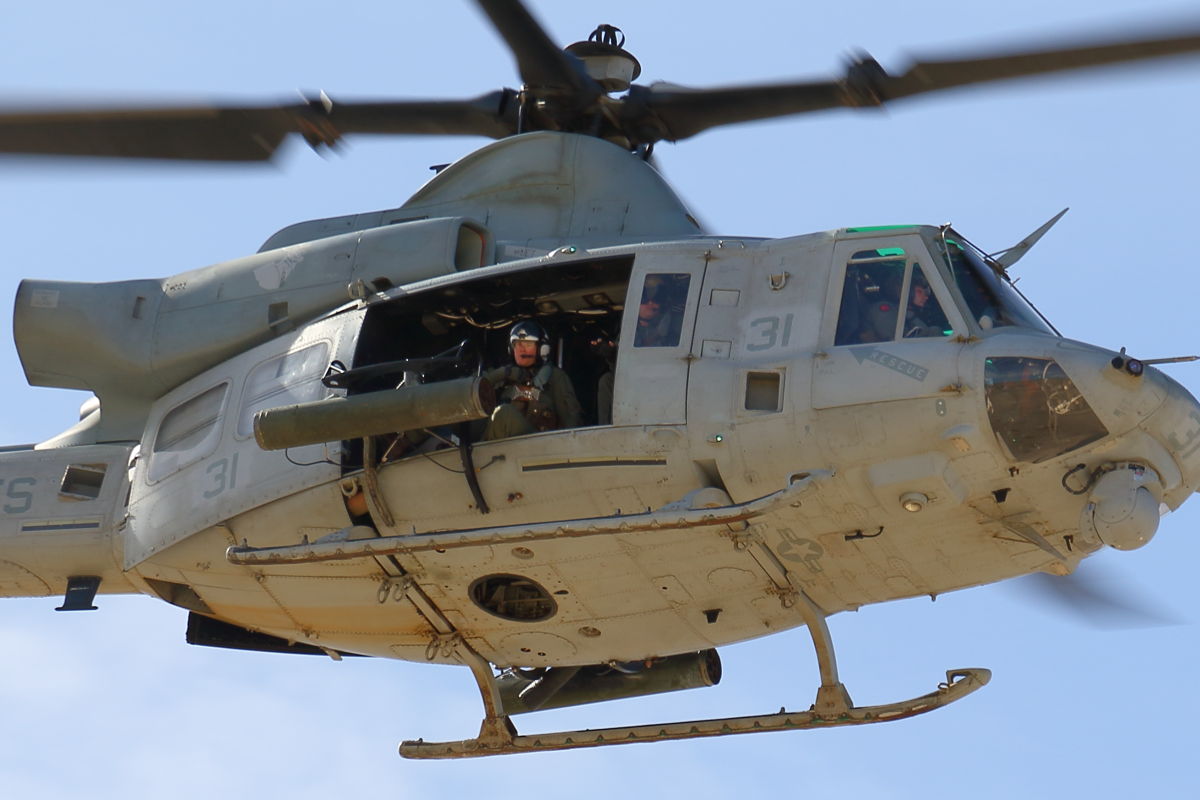
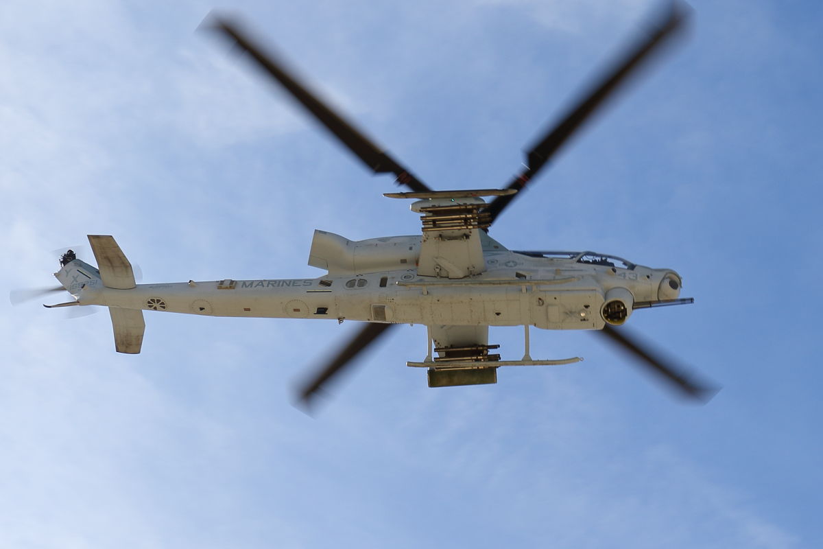
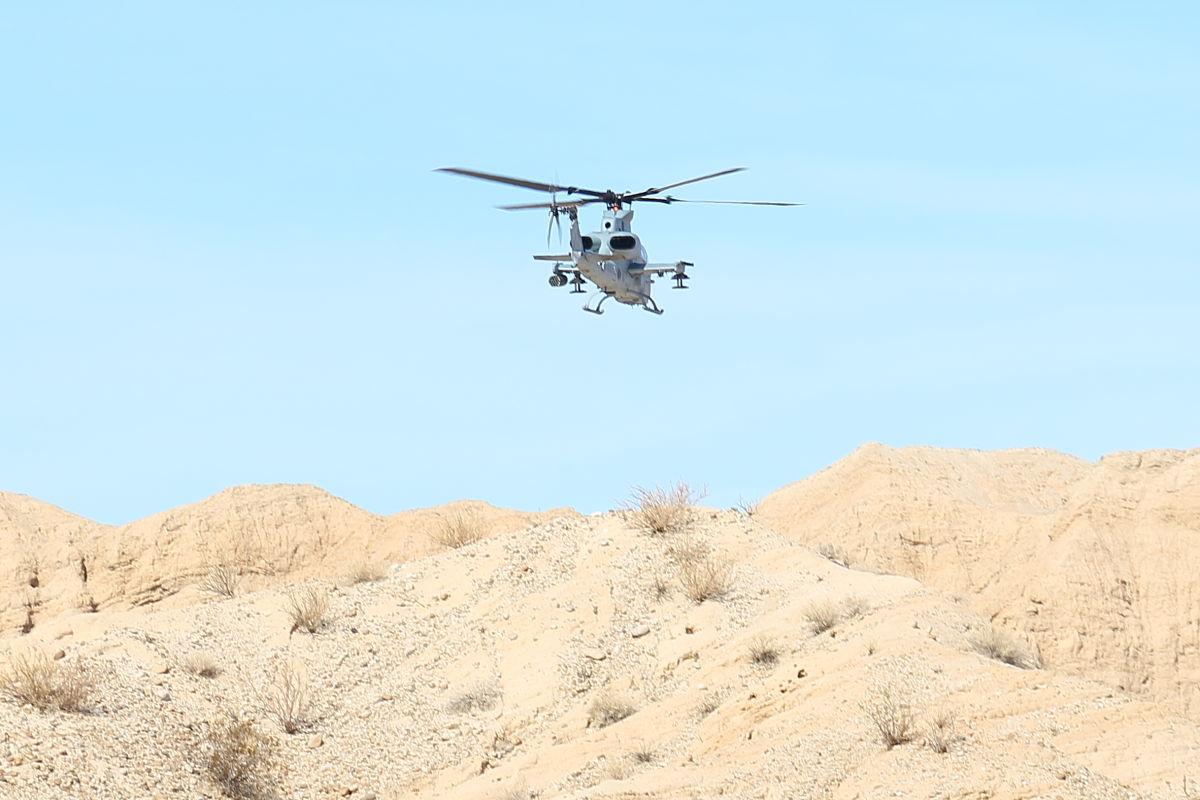
Heard some helicopter noise, the Marines were playing in the badlands. Once the saw me the took off over towards South Mesa. Was pretty fun.
   |
1/19/2018
Topic:
Interesting oddity in the Carrizo Creek Badlands.
Britain
|
dsefcik wrote:
Nice kit fox, was towards the end of day?
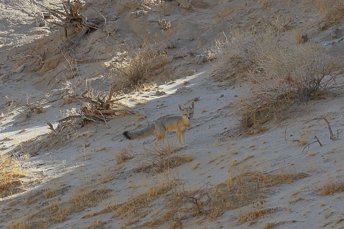
Thanks, Early morning shot. Taken about 1/4 mile out of the swamp from Carrizo Creek . Seen a lot of wildlife in the area which I haven't noticed before. May go tag Leckie early morning, get up on the cliffs southside and wait to see what moves about.
edited by Britain on 1/19/2018 |
1/19/2018
Topic:
More Impossible RR News
Britain
|
Somebody is going need to pump some serious cash into the gorge area. But then again it will be cool to go in and see a load of Tacomas scattered about.  |
1/20/2018
Topic:
Interesting oddity in the Carrizo Creek Badlands.
Britain
|
dsefcik wrote:
Britain wrote:
Thanks, Early morning shot. Taken about 1/4 mile out of the swamp from Carrizo Creek . Seen a lot of wildlife in the area which I haven't noticed before.
Ah...saw the long shadows, figured maybe the fox was coming out for the evening, that is the only time I have seen them.
Heck, I've only seen 3 of them for all the time I've been out here. |
1/20/2018
Topic:
Interesting oddity in the Carrizo Creek Badlands.
Britain
|
The fox was eyeing something when I interrupted. I took about 20 quick shots and continued my journey.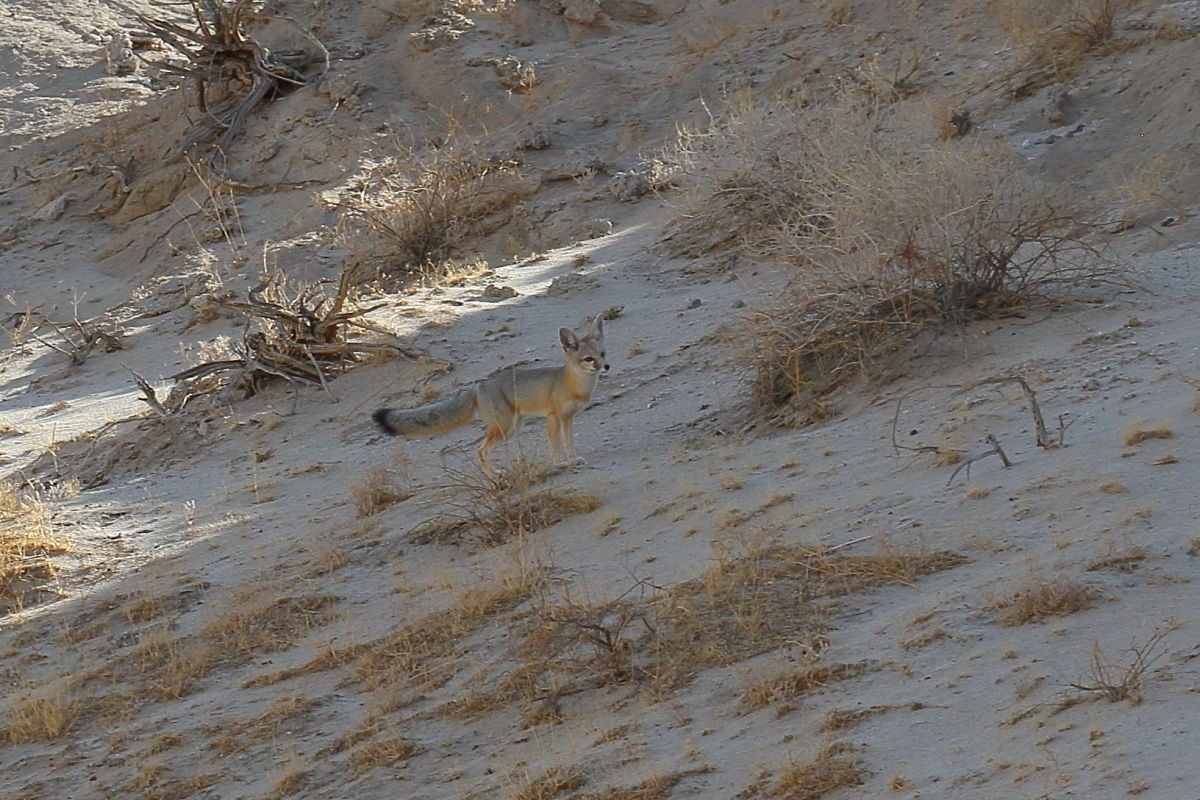
edited by Britain on 1/20/2018 |
1/23/2018
Topic:
Wile E Coyote
Britain
|
Photos are taken from Leckie BM. They were also chainsawing the stuff out in the Creek.
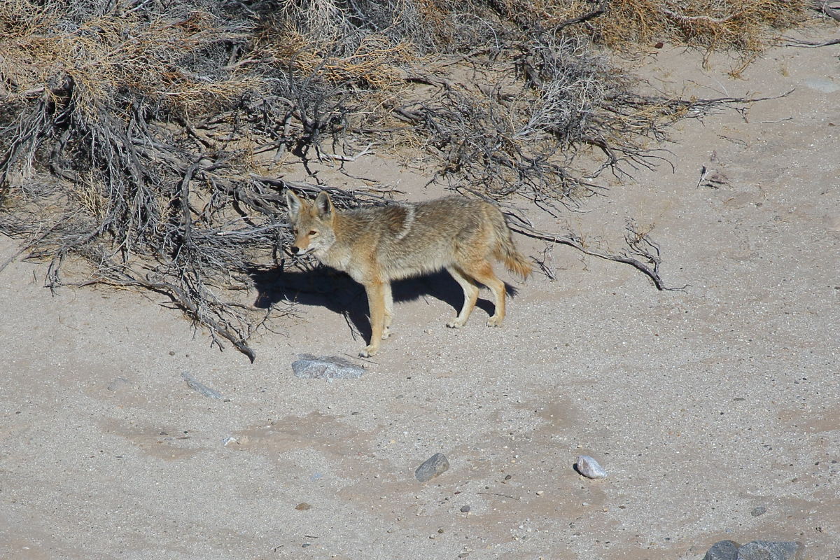 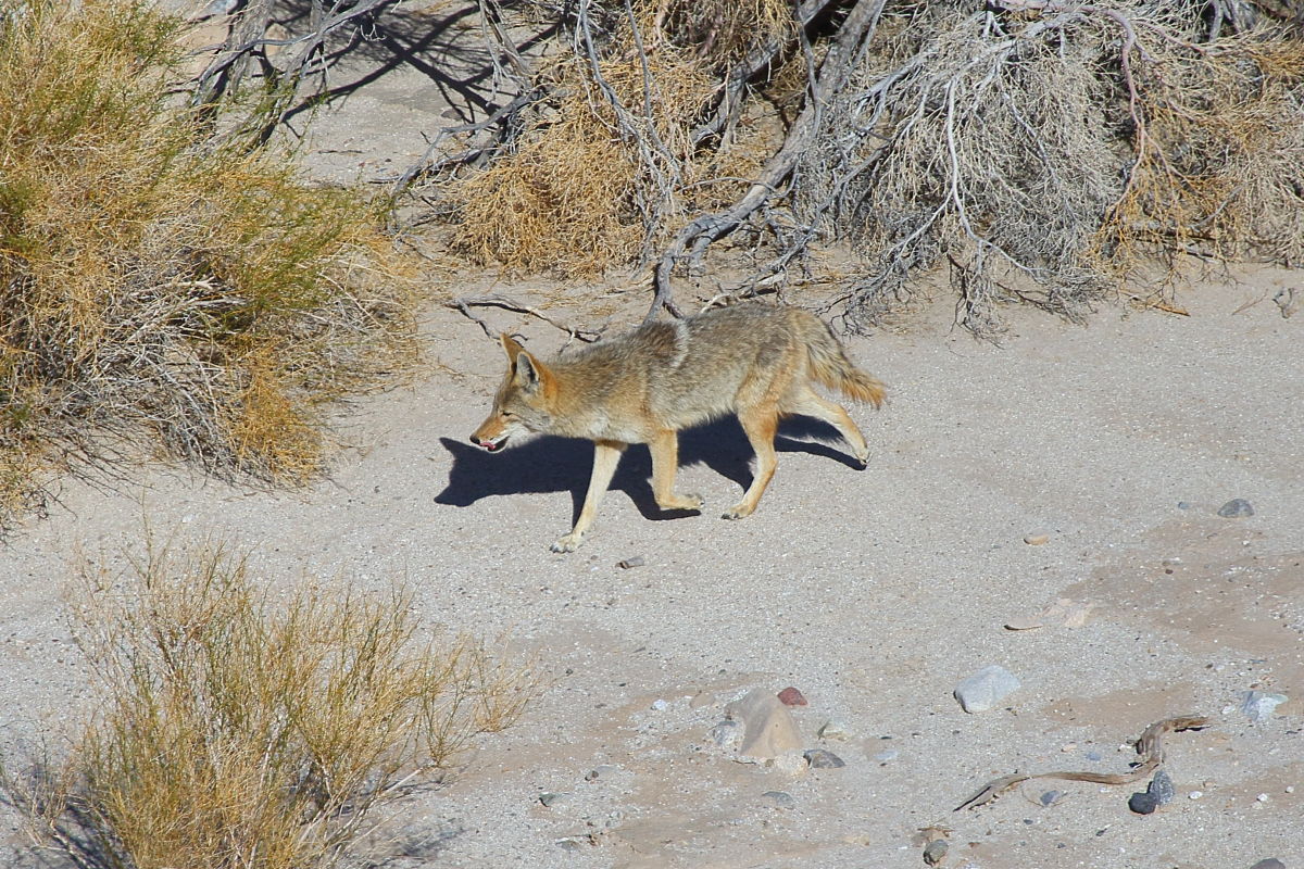 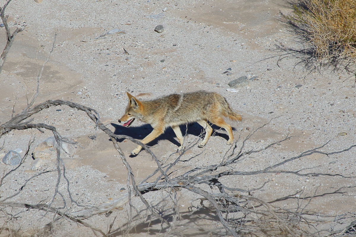
edited by Britain on 1/23/2018 |
1/24/2018
Topic:
Carrizo Badlands
Britain
|
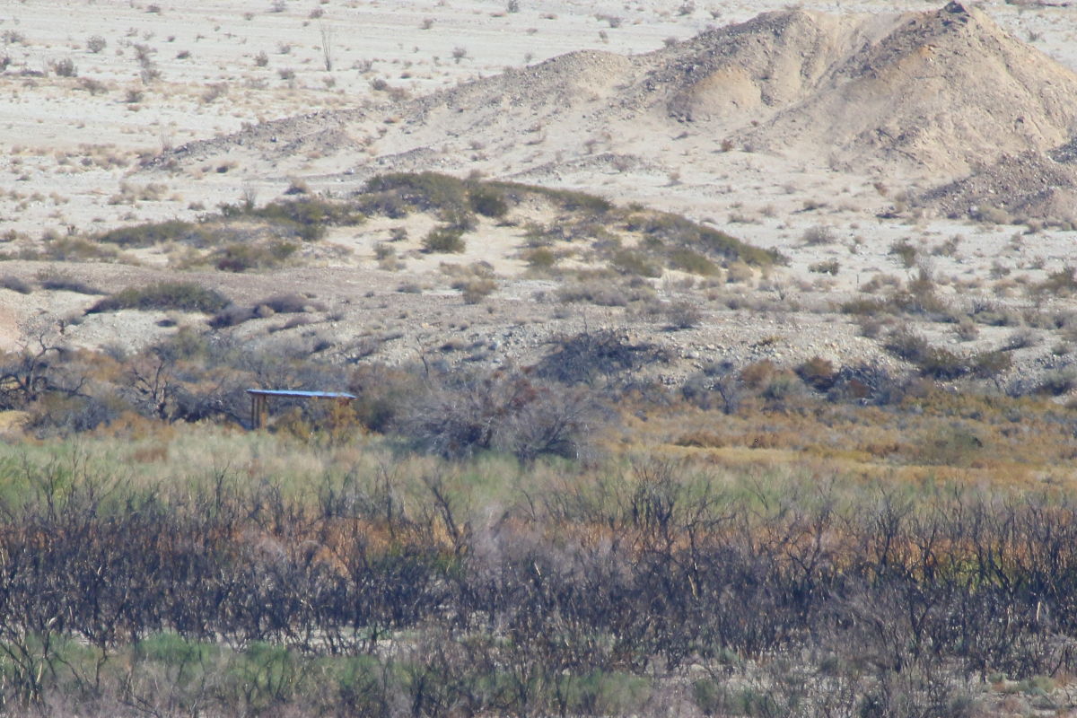
Looks like we took the same route, some of your pictures look like mine. Couple questions. Have you ever came across a rock-cement monument about 4 ft high with a plaque Carrizo Stage station on it? There was one in the area in 2000. If I remember correctly its not near the real station. Also theres another structure I spotted. Would this be McCains place? Have you seen it? It is located about 1000ft west and slightly south of the real station. EDIT: shack does not appear on earlier GE images.
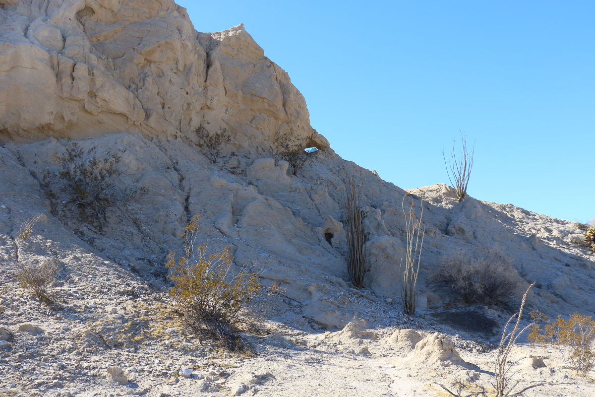
edited by Britain on 1/24/2018
edited by Britain on 1/24/2018
edited by Britain on 1/24/2018 |
1/25/2018
Topic:
Carrizo Badlands
Britain
|
Thanks more history to review. |
1/27/2018
Topic:
More Impossible RR News
Britain
|
Theres a picture of some hikers down in the Gorge today showing a truck on the tracks around the 7 sisters. |
2/2/2018
Topic:
Drone use in the Park
Britain
|
Recently posted on the park FB page.
We would like to remind all park visitors the flying of any unmanned aircraft including drones is prohibited per California Code of Regulations 4326(a) Posted Order in the Colorado Desert District including Anza-Borrego Desert State Park®, Cuyamaca Rancho State Park, Palomar Mountain State Park, Salton Sea State Recreation Area, Picacho State Recreation Area, and Indio Hills Palms Property. |
2/3/2018
Topic:
Gert BM
Britain
|
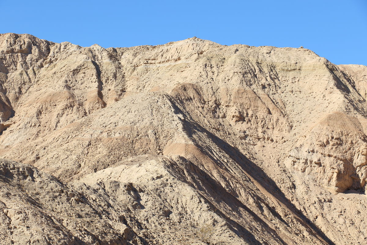
Went out after the Gert BM through the badlands east of Lost. Temperatures were high 80's low 90's so it added to the adventure. Up this , it was only 200ft to get up on South Mesa. 30ft from the top became an issue. Steep mud cave stuff. 3 feet forward 2 feet slip back. Wife beat me up. I took a route on the west side. I'll call this hill "Hill full of hate" .
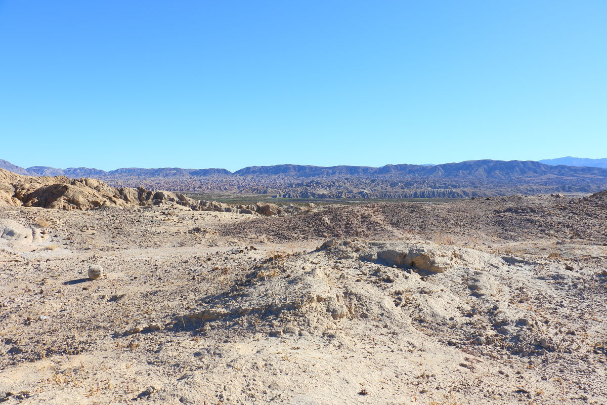
 Upon the ridge of South Mesa finally. Looking back to Carrizo Creek. Upon the ridge of South Mesa finally. Looking back to Carrizo Creek.
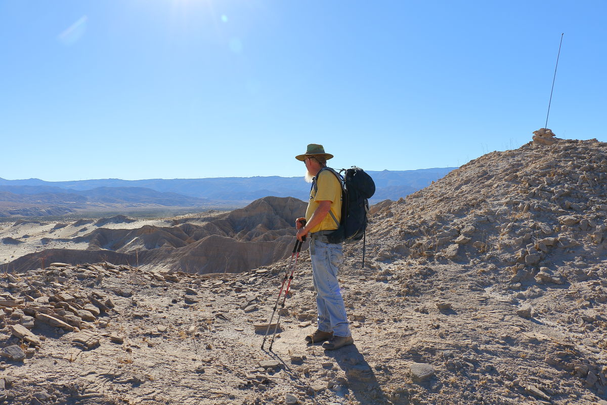
 Me looking back down. Theres a pole behind me. I think it marks the way down that is safe. Me looking back down. Theres a pole behind me. I think it marks the way down that is safe.
 Gert BM. Theres 3 of them but heres one of them. Sure was warm out today. Gert BM. Theres 3 of them but heres one of them. Sure was warm out today.
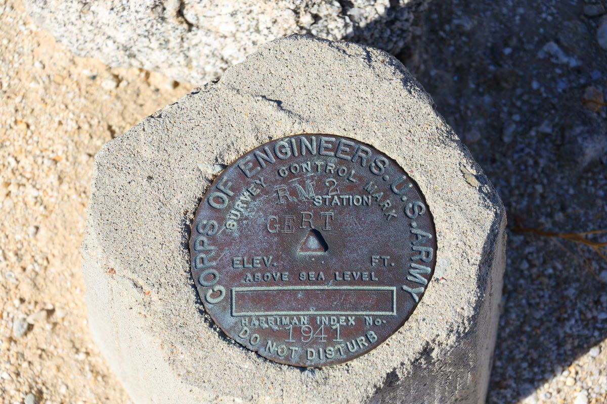 |
2/4/2018
Topic:
Gert BM
Britain
|
tekewin wrote:
Sweet. Are those mud hills solid or can they collapse into caves?
Really loose dirt just like the stuff in the mud hills. Lots of deep cut slots. I will guess there are caves about. |
2/4/2018
Topic:
Gert BM
Britain
|
Before we climbed out of the badlands my wife dug around in the slots. Tried climbing up to the pole on top. There's a lot of these slots/notches all over. Some fun if you like playing in them. Had to drag her out to continue the journey. In the picture shes just below the pole, to the left.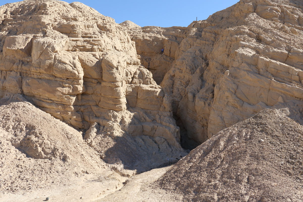
edited by Britain on 2/4/2018 |
2/4/2018
Topic:
Gert BM
Britain
|
tekewin wrote:
Wow, that looks pretty chancy. Very adventurous!
Wife likes collecting the mylar balloons. 8 miles in there was a green one 1/2 mile away on the side of the hill. It was difficult talking her out of getting that one. She got 2 anyway.
edited by Britain on 2/4/2018 |
2/6/2018
Topic:
Salton Sea Naval Base
Britain
|
Wheel with caution if your near the shore, may look good but once you break through the crust you can get stuck good.
edited by Britain on 2/9/2018 |
2/6/2018
Topic:
Salton Sea Naval Base
Britain
|
tommy750 wrote:
Did someone say "great photos"?? Maybe referring to my post here: http://www.anzaborrego.net/anzaborrego/Forum/topic520-indio-fish-traps-and-sstb.aspx 
Walked the fish traps back in the 80's. With all the traffic in the area, I'm surprised they are still there. Nice photos on your other link. |
2/11/2018
Topic:
Pyramid-Villager Loop
Britain
|
Wow, fearsome hike. Congrats! |
2/14/2018
Topic:
Jacumba Jims and Jim McCains shack
Britain
|
My wife left her trekking poles on the top of one of the north ridges above the canyon. Even though they were wally mart specials I went in yesterday and picked them up. While there I dug around the shack that's on the south side. Not much to see but here are the pictures. Not even sure if this was a McCain shack.
Old Bed frame
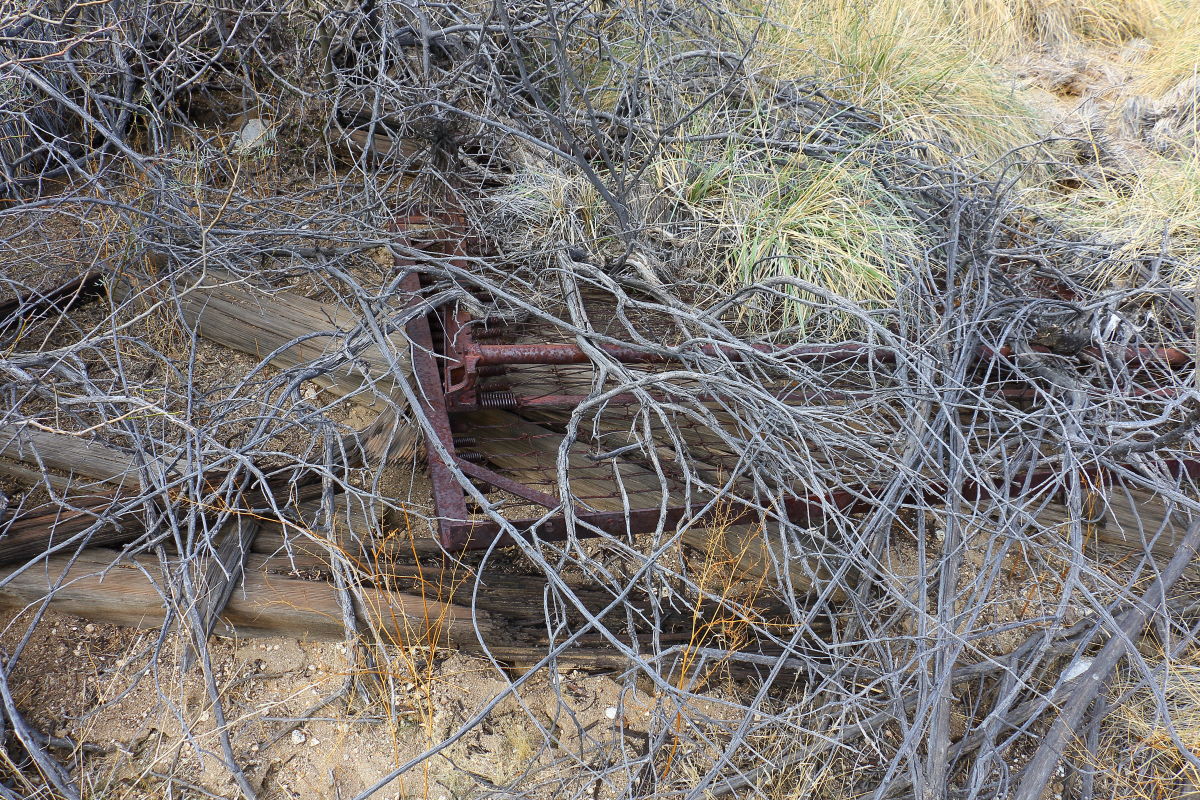 The usual suspects old wood, rusty iron, and old rusty cans laying about. The usual suspects old wood, rusty iron, and old rusty cans laying about.
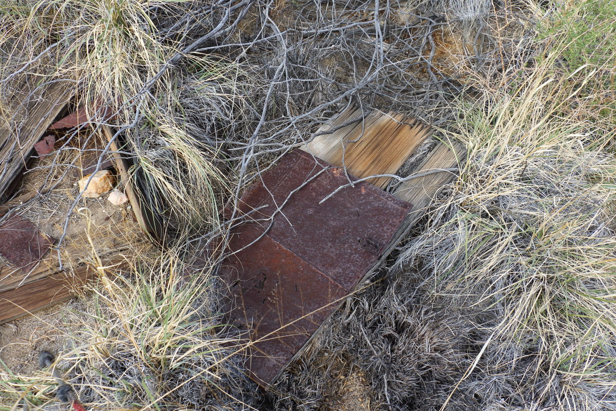 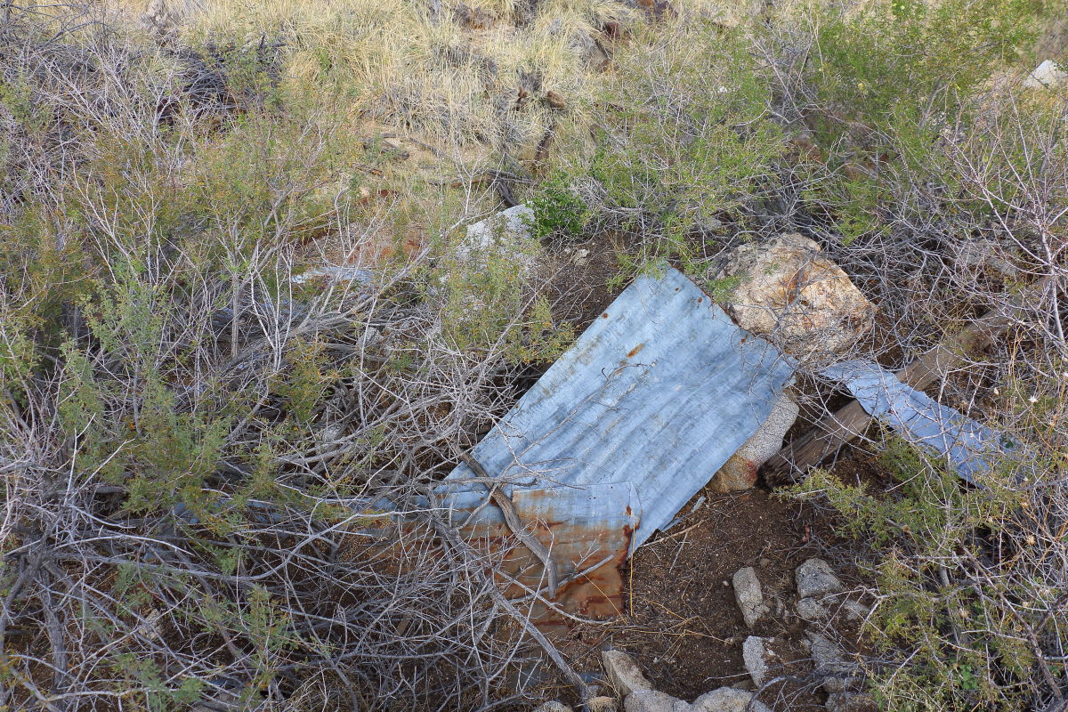 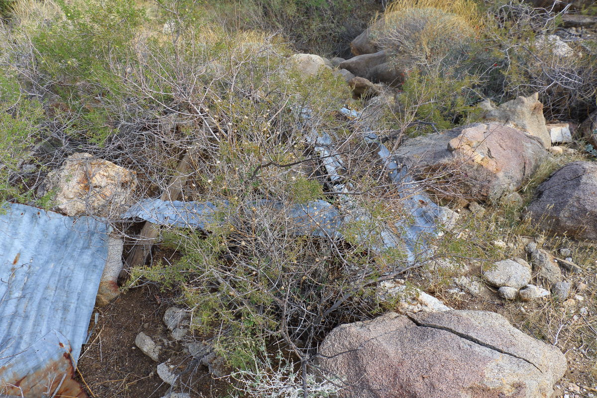 This must have been the roof section. I tapped it and heard a rattle under it, best leave this one be. This must have been the roof section. I tapped it and heard a rattle under it, best leave this one be.
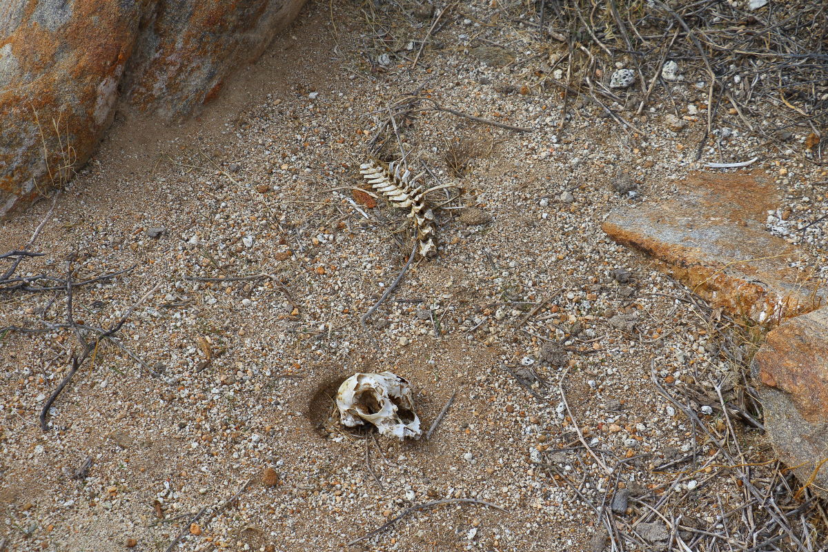
 Some bones found which were not there the last time through. Lots of predators here. If your a wildlife photographer this is the place to camp out. Skull was about 4 or 5 inches across. Some bones found which were not there the last time through. Lots of predators here. If your a wildlife photographer this is the place to camp out. Skull was about 4 or 5 inches across.
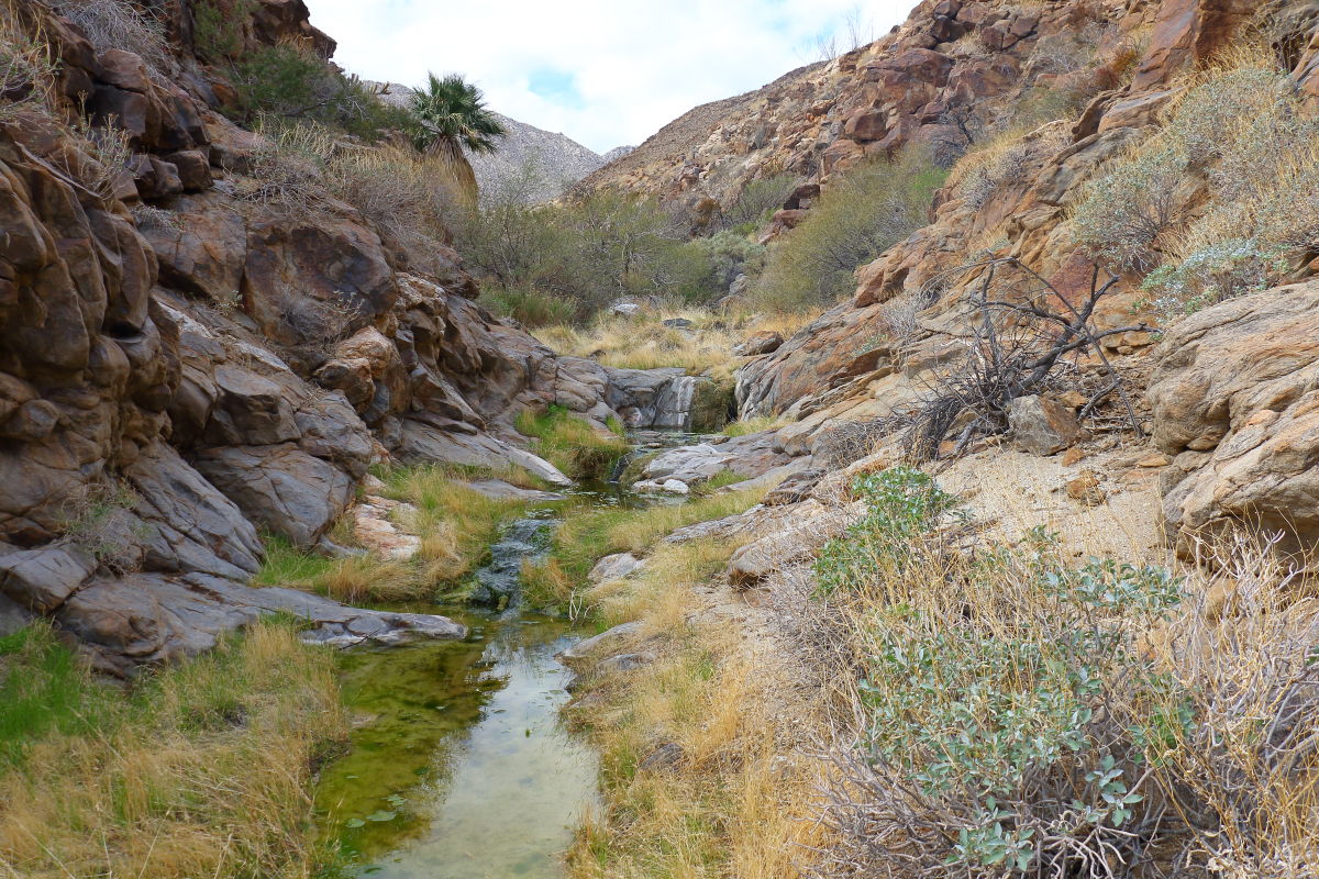
 Creeks running high, probably from no evaporation. Creeks running high, probably from no evaporation.
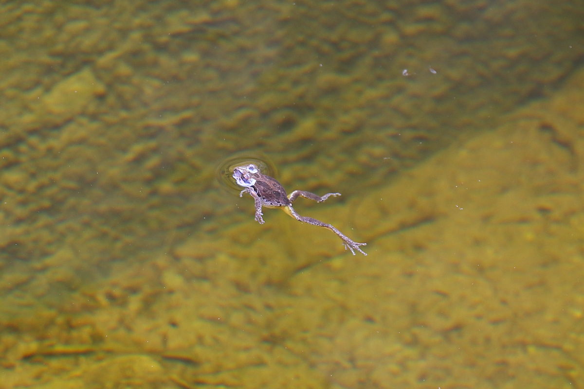
 Four frogs area? Perhaps there are some here. Four frogs area? Perhaps there are some here.
edited by Britain on 2/14/2018 |
2/14/2018
Topic:
Jacumba Jims and Jim McCains shack
Britain
|
dsefcik wrote:
Damn I am ready to retire and spend more time out in the desert...envious....thanks for posting, like the frog shot...purple?
Slight purple and spotted |
2/14/2018
Topic:
Jacumba Jims and Jim McCains shack
Britain
|
tekewin wrote:
South side of Jacumba Mountain? That's a lot of water. Need to study the maps more around that area. Awesome photos as usual.
Thanks, but actually its nowhere near Jacumba mountain. Canyon is about a mile from the dead end, west side, from where you can drive into Carrizo Gorge from S2.
edited by Britain on 2/14/2018
edited by Britain on 2/14/2018 |
2/15/2018
Topic:
Gasp and Grunt BM's
Britain
|
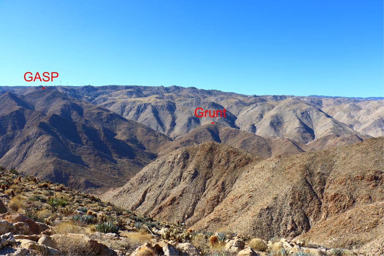
Has anyone come up from the gorge and get these? Thinking about doing a loop. Cant find much information on Grunt.
edited by Britain on 2/15/2018 |
2/15/2018
Topic:
Gasp and Grunt BM's
Britain
|
dsefcik wrote:
mrkmc did something close
http://www.anzaborrego.net/anzaborrego/Forum/topic237-moan-puff-groan-and-gasp.aspx
Yes, I read that, he's a madman. That there was crazy. Wife and I are going to take a go at doing a loop of Grunt and Gasp in a couple weeks. |
2/15/2018
Topic:
Gasp and Grunt BM's
Britain
|
tekewin wrote:
I did Gasp in Tule-Groan-Gasp loop, but not from the gorge.
Grunt BM is on my list. I was going to follow this GPS track staying on the north track in the wash as long as possible both up and down. There was a register there with only a few entries according to the last report.
http://peakbagger.com/climber/ascent.aspx?aid=619070
Umm didn't consider the wash to the north, will review. Looks like about 1/2 mile 600ft to Grunt at where you will need to exit the wash. Thanks for the information. |
2/15/2018
Topic:
Gasp and Grunt BM's
Britain
|
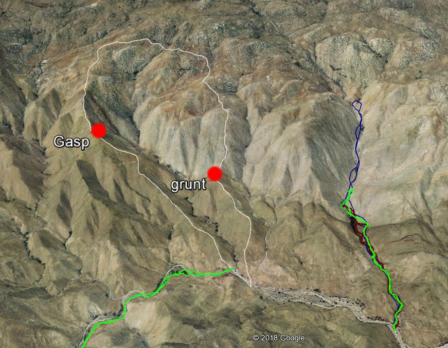
Thinking of this route. We'll see.
edited by Britain on 2/15/2018 |
2/17/2018
Topic:
Gasp and Grunt BM's
Britain
|
Buford wrote:
Instead of topping out on the Gasp or Grunt ridgelines into the McCain area, I am pretty sure you can go almost straight between the two. It looked passable when I was on Gasp. I have not done Grunt.
I have done the Tule, Rozzie, Groan, Gasp loop similar to the one posted here:
http://www.peakbagger.com/climber/ascent.aspx?aid=376374
I will say it is quiet a climb out of the side canyon of the Gorge up Gasp. Nothing technical that I can remember though.
edited by Buford on 2/15/2018
Thanks, we'll take the Grunt ridge up first. At least we'll get Grunt. Canyon crossing is out I'm too old fer that. Our actual goal is more in getting to McCain. I feel If we can get there we can do the loop. I read your post on the Tule, Groan and Gasp its a bit too much for us. Perhaps Tule and Groan are in the books later. I spent a bit of time last week looking up the Grunt hill from the gorge its going to be tough for sure. |
2/17/2018
Topic:
Gasp and Grunt BM's
Britain
|
tekewin wrote:
Britain: You planned out a nice loop route. My friend Eric Su descended the ridge between Gasp and Grunt and came back up on your route. The ridge up to Gasp from Grunt is about 1500'. The only comment he made about Grunt itself was that the cholla was thicker than around Groan/Gasp. Looking forward to your trip report 
The only picture I've seen at Grunt was Cholla. Hazards of hiking. To get up to McCain is like doing Jacumba Mt from Montero only it throws everything at you in the first 2 miles. This is out of my league but must try.
edited by Britain on 2/17/2018 |
2/18/2018
Topic:
Carrizo Gorge East Side
Britain
|
Nice find. In the general area of the stacked powder cans theres a large enclosure that has a complete bottom section to a bowl or vase. Then a lot of the smaller busted pieces. I sometimes wonder when you come across these pieces where the rest of them to complete the form they were. |
2/23/2018
Topic:
Ghost Mountain with Huel
Britain
|
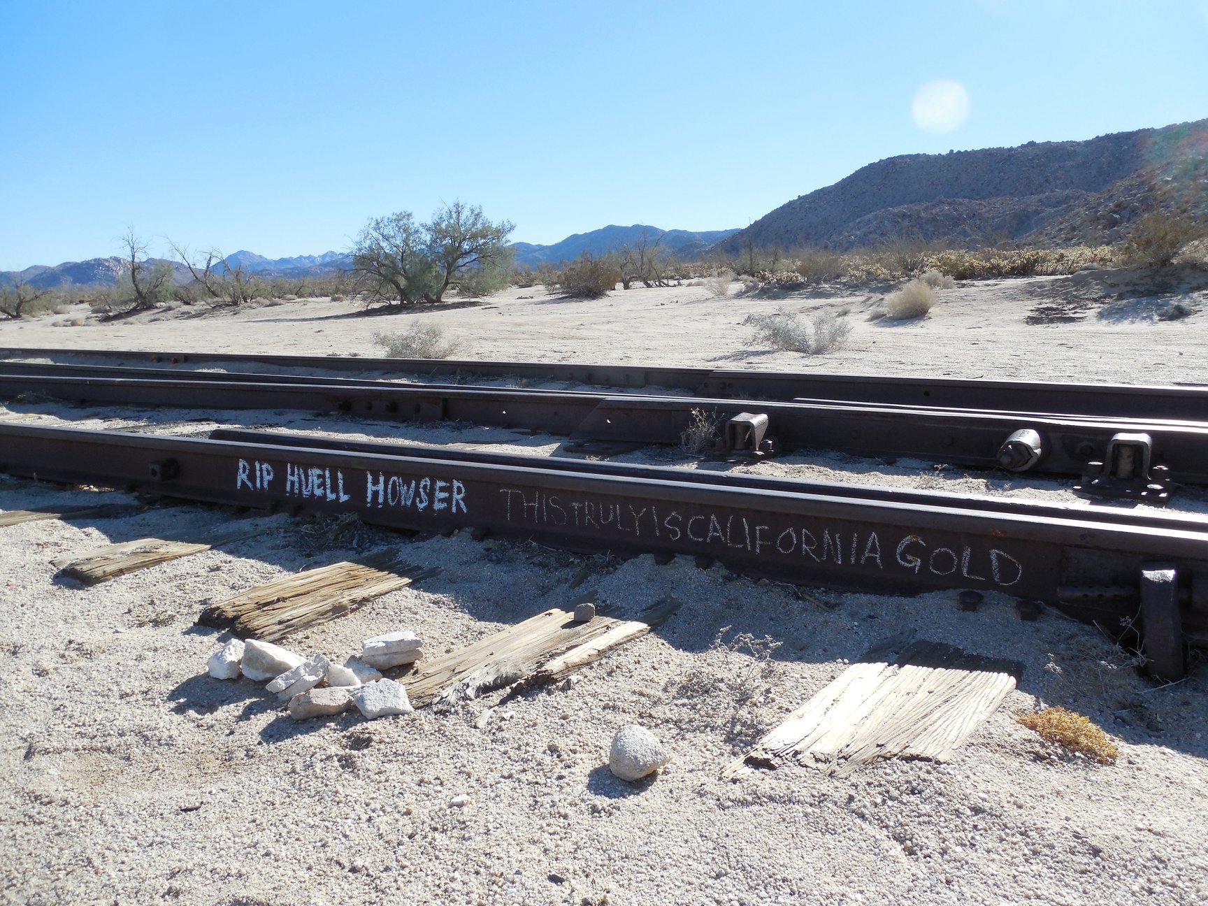
Seemed like the tagger tagged the tracks also.
 |
2/23/2018
Topic:
Ghost Mountain with Huel
Britain
|
If you've seen the episode of Huell on the tracks, the boulder that hung them up is still there but has been moved about 3 feet away from the tracks. Great show to watch.. |
2/24/2018
Topic:
Grunt BM
Britain
|
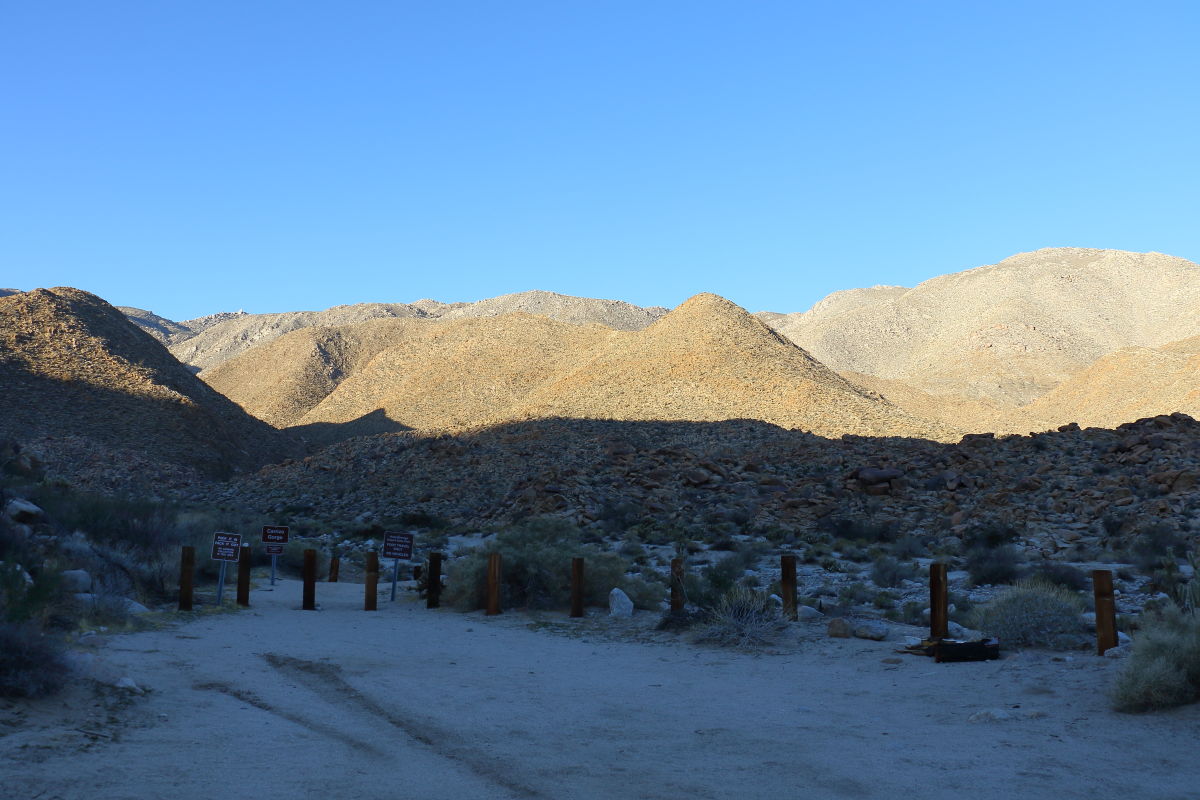
We started out trying to include the Gasp in this hike. But I underestimated a wee bit distances and time. But it was a fun day a bit on the cool side. Started out at 7:30.
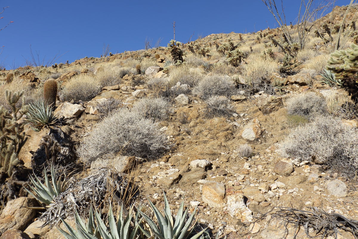
 Going up, I was expecting more cactus. Wasnt too bad. Going up, I was expecting more cactus. Wasnt too bad.
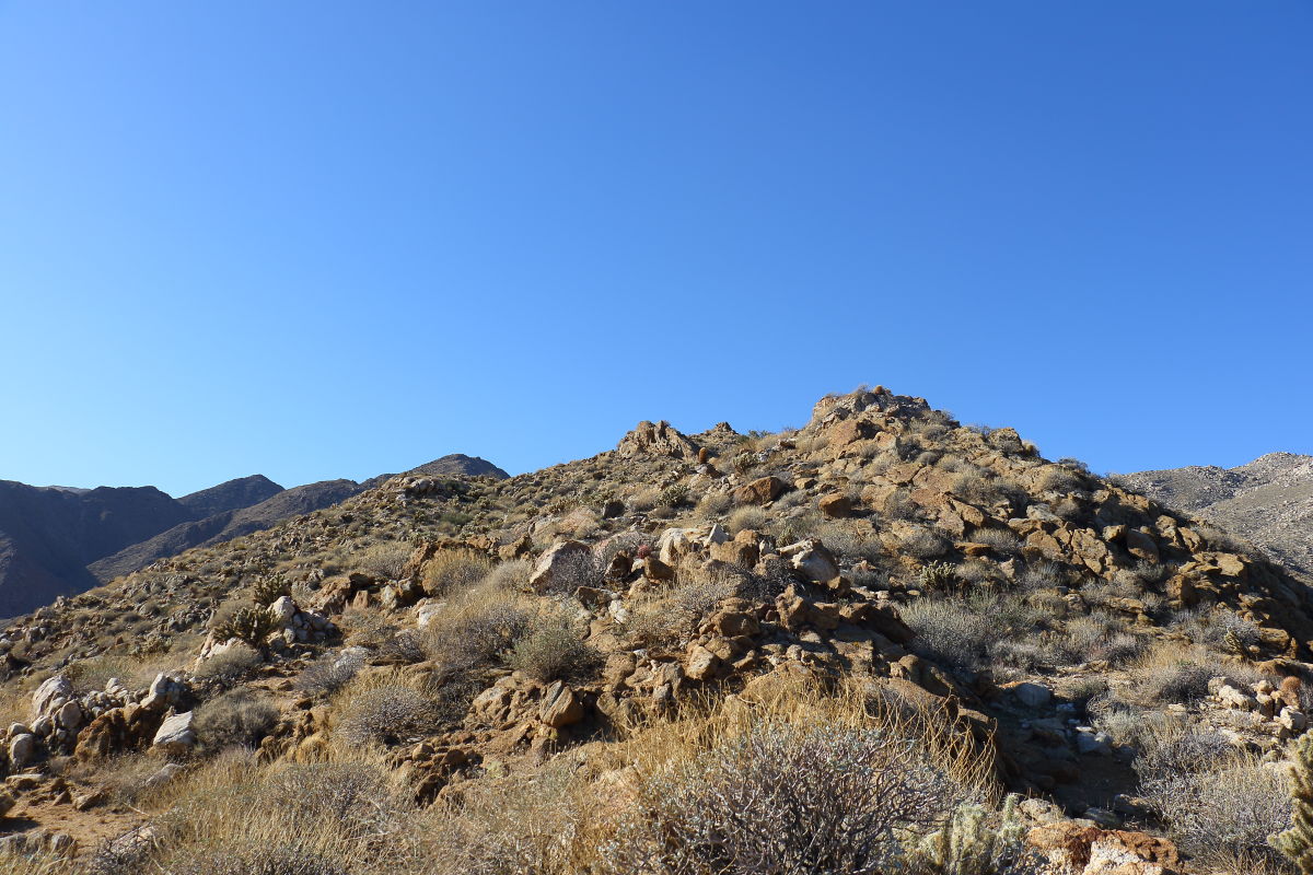
 Final to Grunt Final to Grunt
One of the two BM'S
 Well the next jump is a 1200ft climb. Our goal was if we could reach McCain by 12:00 we would continue around to Gasp. But we fill short by about 250ft. I think now doing this loop would be like 10 miles. We pulled the plug at 3 miles and a +1750 gain. Well the next jump is a 1200ft climb. Our goal was if we could reach McCain by 12:00 we would continue around to Gasp. But we fill short by about 250ft. I think now doing this loop would be like 10 miles. We pulled the plug at 3 miles and a +1750 gain.
 On the way back we went down into the wash north of the Grunt BM. 800ft drop. We took the wrong hill to go down. Looked good from above but ended up really steep with a lot of loose rock. Few cactus though. On the way back we went down into the wash north of the Grunt BM. 800ft drop. We took the wrong hill to go down. Looked good from above but ended up really steep with a lot of loose rock. Few cactus though.
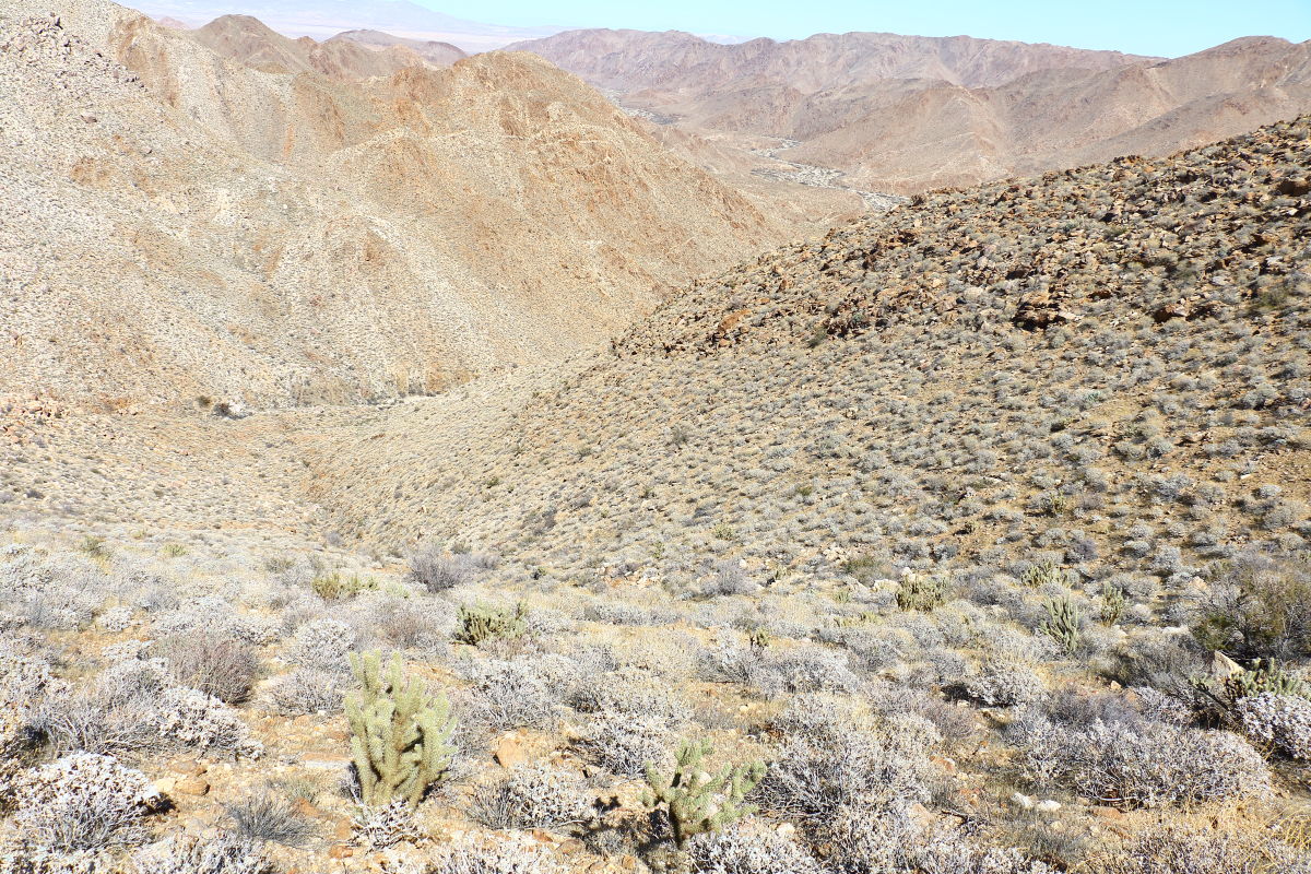 Looking back Looking back
 Sandy wash out. This wash would be a better faster way to get Grunt, it would be step climb up. Sandy wash out. This wash would be a better faster way to get Grunt, it would be step climb up.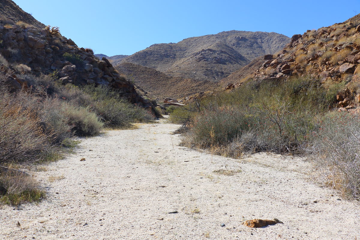 Took many photos of the route up to Gasp perhaps try that next week. Happy with the results, I'm in the mid 60's great day to be out. Took many photos of the route up to Gasp perhaps try that next week. Happy with the results, I'm in the mid 60's great day to be out. |
2/25/2018
Topic:
Grunt BM
Britain
|
tekewin wrote:
Looks fun! Less cholla than I thought would be there. Did you find a register?
 |
2/25/2018
Topic:
Grunt BM
Britain
|
Wife found 3 mylars, one took 30 minutes for her to snag. |
2/25/2018
Topic:
Grunt BM
Britain
|
tekewin wrote:
Thanks for the register shot. I was wondering if it was still there since other people reported seeing it. 30 minutes for a mylar? That's dedication.
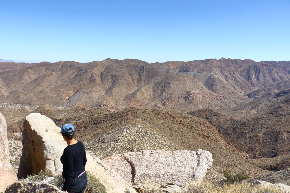
Yeah slowed us down. We messed around too much. More of a journey than a mission. Heres a shot looking down at the Grunt area from about 2500ft elevation.
 |
3/1/2018
Topic:
Grunt BM
Britain
|
This weekend I'll try and get Gasp from the gorge. Else have a fun time trying. |
3/1/2018
Topic:
Never too old
Britain
|
An old friend of mine is on the 100 peak Challenge. He gave me a list of peaks he wants to do. I scratched a few off his list, one which was Groan.
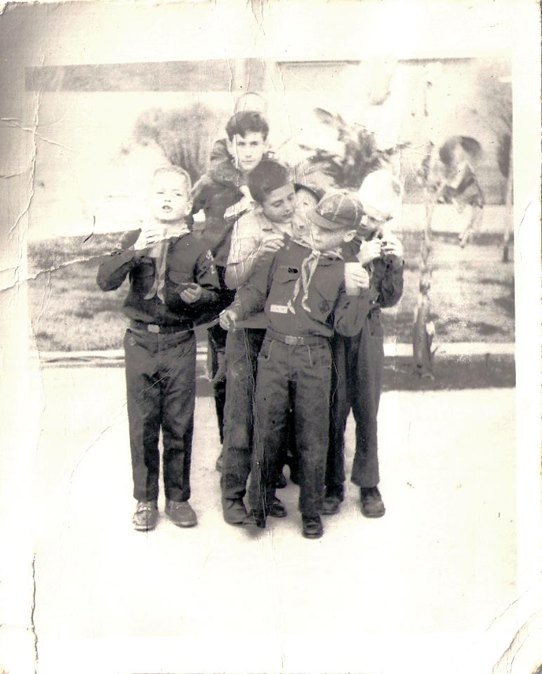
Sort of snickered on that one. Heres a picture of Jeff in 1958. He's the tall one a Boy Scout. One of the leaders o f our Cub Scout pack. I'm one of the Cubs Scouts. Jeff is 70.
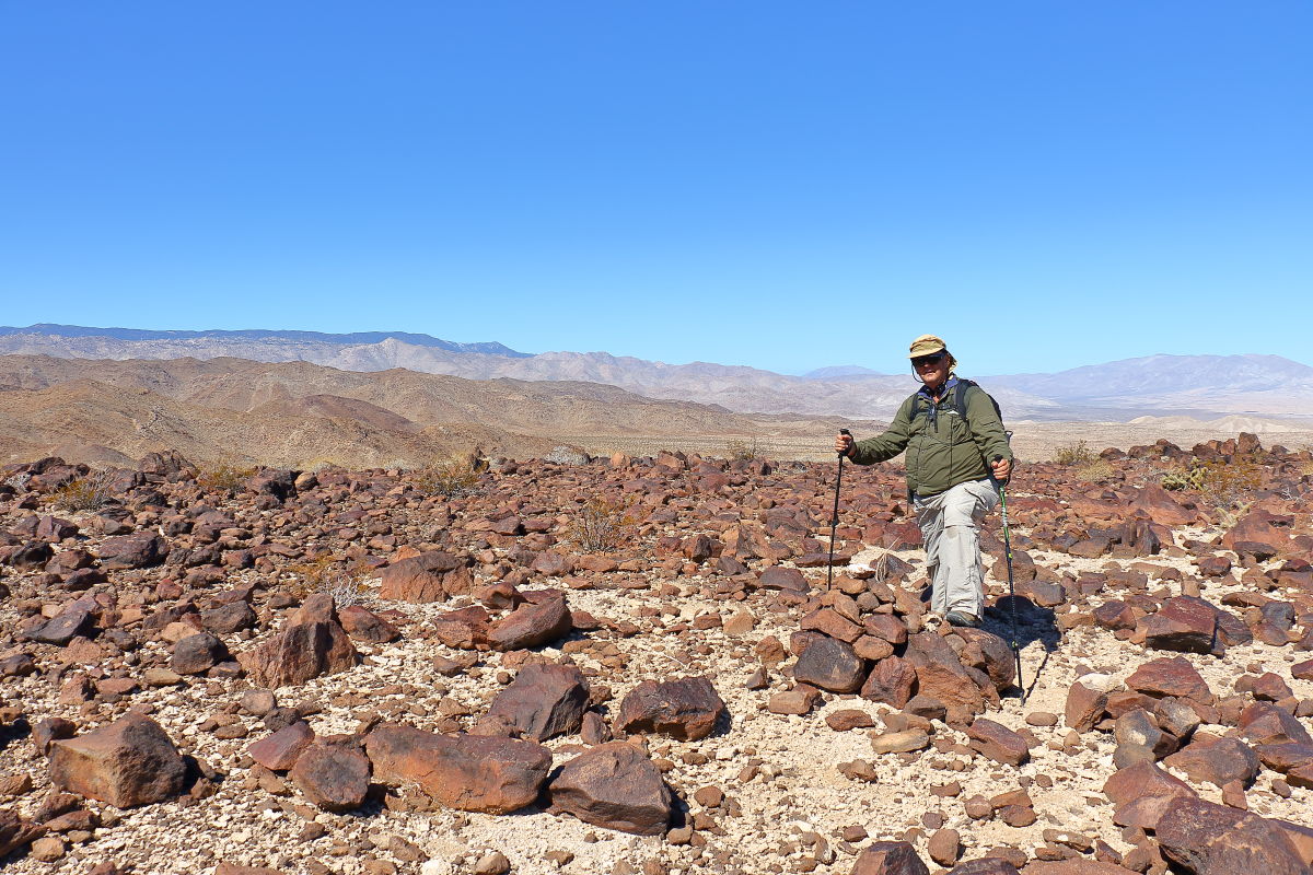
So I tell him lets do Red Hill first. He's about 100lbs over weigh to boot. I figured this would make or break the rest of the desert peaks. Well, he slipped once but went right on up. We'll do Windy next so I can point out the peak poisons on his list. Jeff on Red Hill. He slipped one time but slow and steady going up. Us old farts can hike!
 |
3/5/2018
Topic:
Gasp from The Gorge
Britain
|
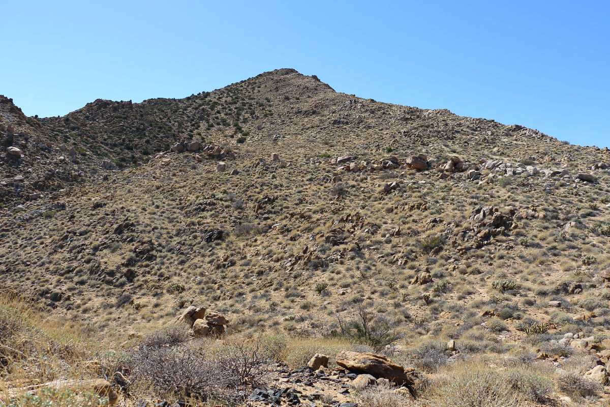
Well, I did a run at it today. Took me 5 hrs to get to the final climb. I had time to do half of what was left but I would not have peaked. Got within 1/2 mile. The last section looked the easiest. I was thinking this ridgeline would be like Grunt but it was not much, much steeper. Going down was another story. Fun hike.
Hike ended here. Gasp in view!
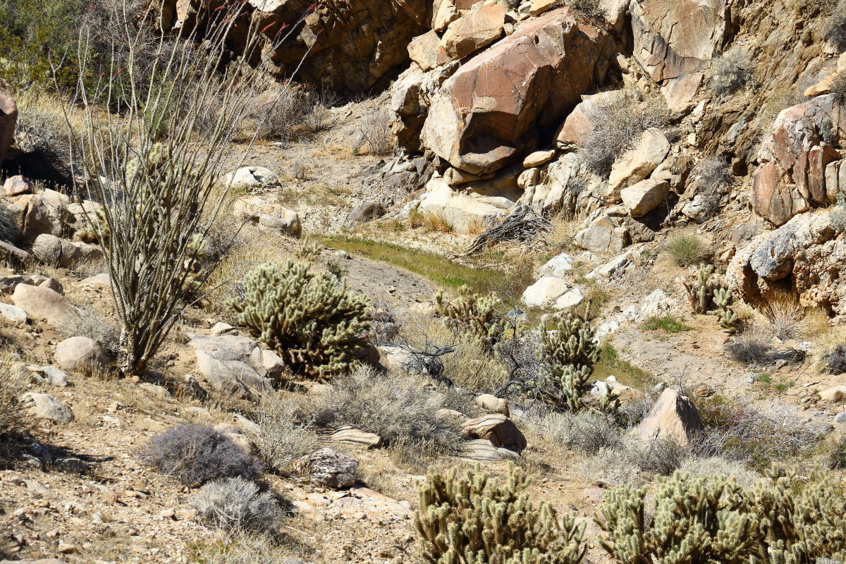
 But I did find another spring on the way down, so all not lost! But I did find another spring on the way down, so all not lost!
 |
3/6/2018
Topic:
Gasp from The Gorge
Britain
|
tekewin wrote:
So close! Did you start at the same place in the gorge that you used to get Grunt?
Hard to believe you found water anywhere out there.
Yes but next ridge south of the Grunt ridge. Awesome hike! Coming down was an adventure as going up! May do this again from a different route.
Looking down from the place I quit from.
 |
3/6/2018
Topic:
Gasp from The Gorge
Britain
|
I will have to admire those who do Tule then to Groan across to Gasp and down to Grunt. Some awesome hikers. Heres the Grunt hill.
 |
3/17/2018
Topic:
Gasp from The Gorge
Britain
|
tekewin wrote:
That's an awesome photo of Grunt, so much detail! I hope I can make the trip out to Grunt this year.
edited by tekewin on 3/17/2018
Thanks, I enjoy photography as much as the journey. I carry a high-end Canon in which I have a quick release system mounted to my shoulder straps of the pack. I'll probably go back and check out the spring area later. |
3/28/2018
Topic:
Canyon west of Moan
Britain
|
Went up the canyon west of Moan. Came down it in a different path a while back. Hike ended up about 12 miles when done. Found some boot prints coming down.. perhaps one of the hikers here?
Going up.
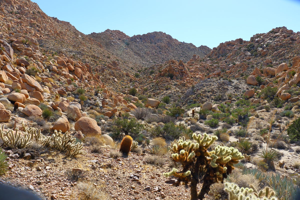 Rocks at the top Rocks at the top
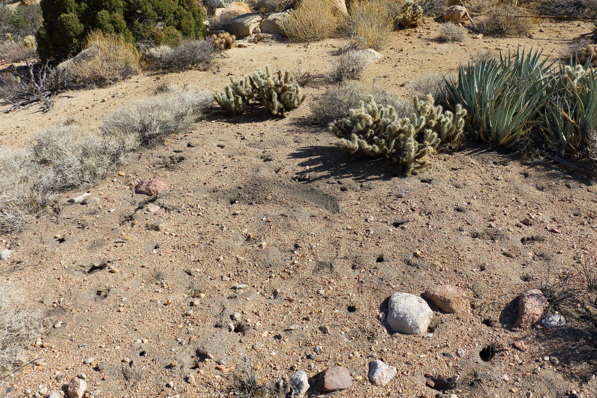
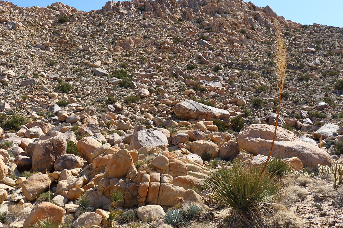 Before I dropped down into the Canyon, I poked around in some of the shallow valleys on the western slope of Moan and found some well-defined roasting pits. Once on top some potter frags here and there. Before I dropped down into the Canyon, I poked around in some of the shallow valleys on the western slope of Moan and found some well-defined roasting pits. Once on top some potter frags here and there.
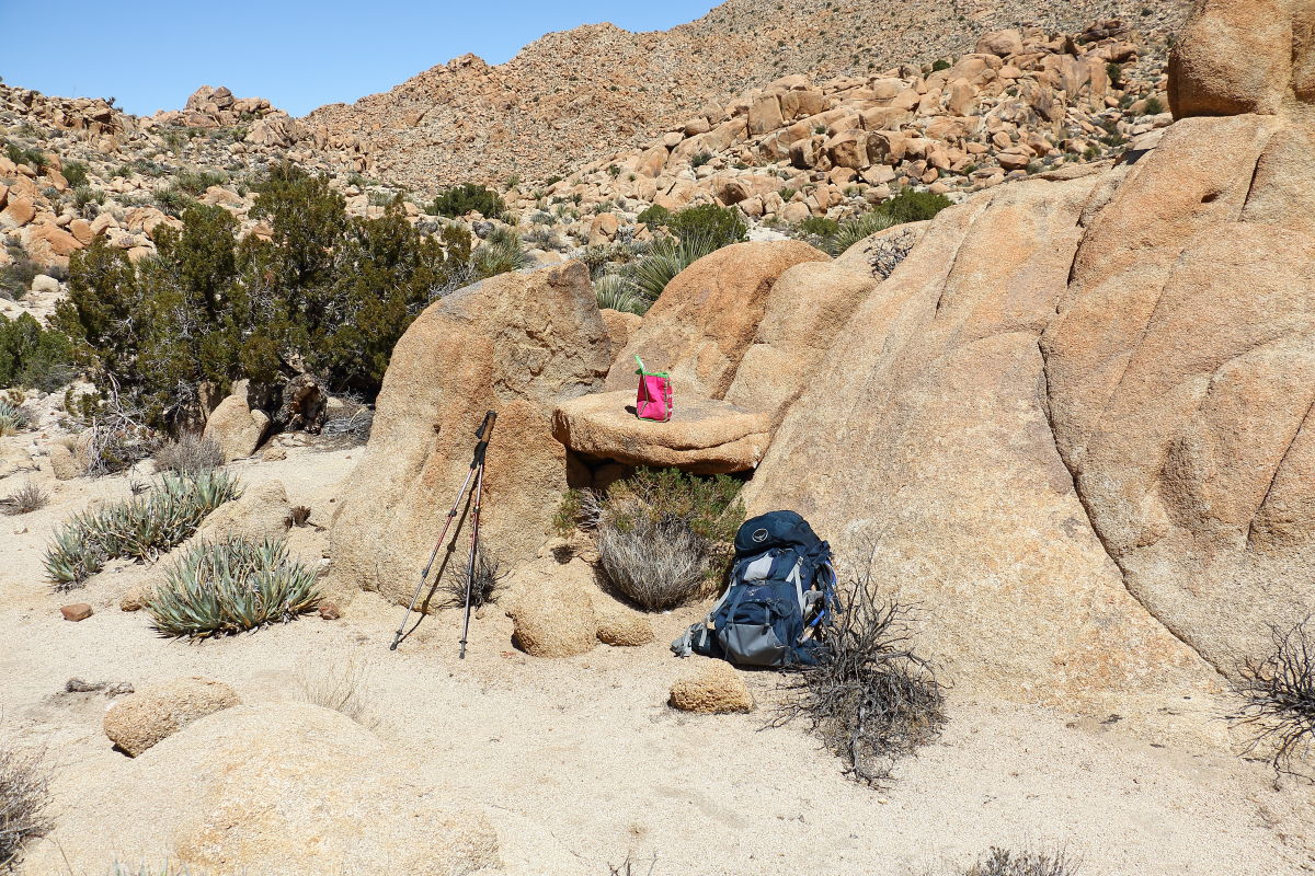
 A really nice day out in the mid 70's. Lunch at the Bedrock cafe.. A really nice day out in the mid 70's. Lunch at the Bedrock cafe..
edited by Britain on 3/28/2018 |
3/30/2018
Topic:
Canyon west of Moan
Britain
|
East of the tracks, north of the trestle. |
3/30/2018
Topic:
Canyon west of Moan
Britain
|
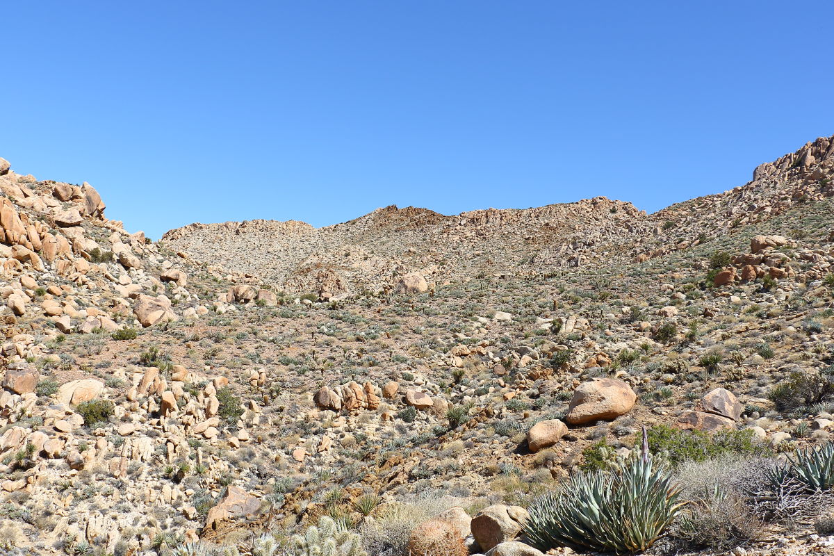
When you pull out of the canyon there's a drop of about 200-300ft back to the service trail. You end up in the area where the service road drops back down to the R&R tracks near the trestle. Heres a shot looking back towards moan. Moan here is northeast. There's was some other interesting areas to explore on another hike. Desert temps up to 90 for a while.
 |
4/1/2018
Topic:
McCain / Canebrake 4 day Backpack
Britain
|
Been wanting to do the Pepperwood. The wind turbines sort of ruined the area. So do you think this is where McCain drove his cattle through to the desert? |
4/2/2018
Topic:
Canyon west of Moan
Britain
|
tommy750 wrote:
Daren and I were out there 1/6-7/18 ( http://www.anzaborrego.net/anzaborrego/Forum/topic1355-carrizo-gorge-east-side.aspx ) so we could have left some of the prints you saw. Like that area. Thanks for posting. Tom
Boot tracks were oriented north down the canyon. Opposite direction I was heading. Probably yours. |
4/3/2018
Topic:
Yuha basin petrified wood
Britain
|
Try and get out to the Yuha Basin once a year. The previous summer thunderstorms will sometimes expose cool stuff. A few years ago I found a line of vertebrae, the largest chunk was about 6 inch in diameter, I snagged a 2 inch piece perhaps a trail. Those have fallen off the wash face and disappeared most likely crushed by wheelers. Heres some pics of petrified wood that's there.
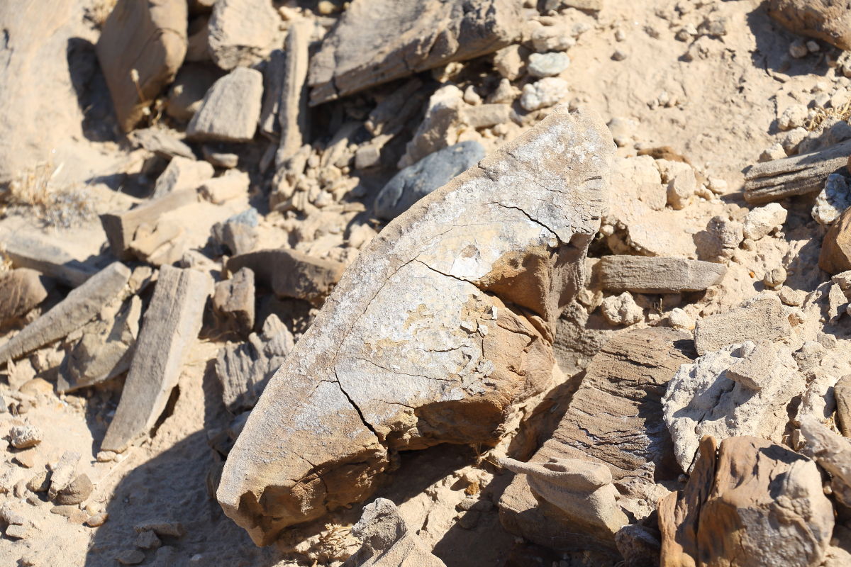
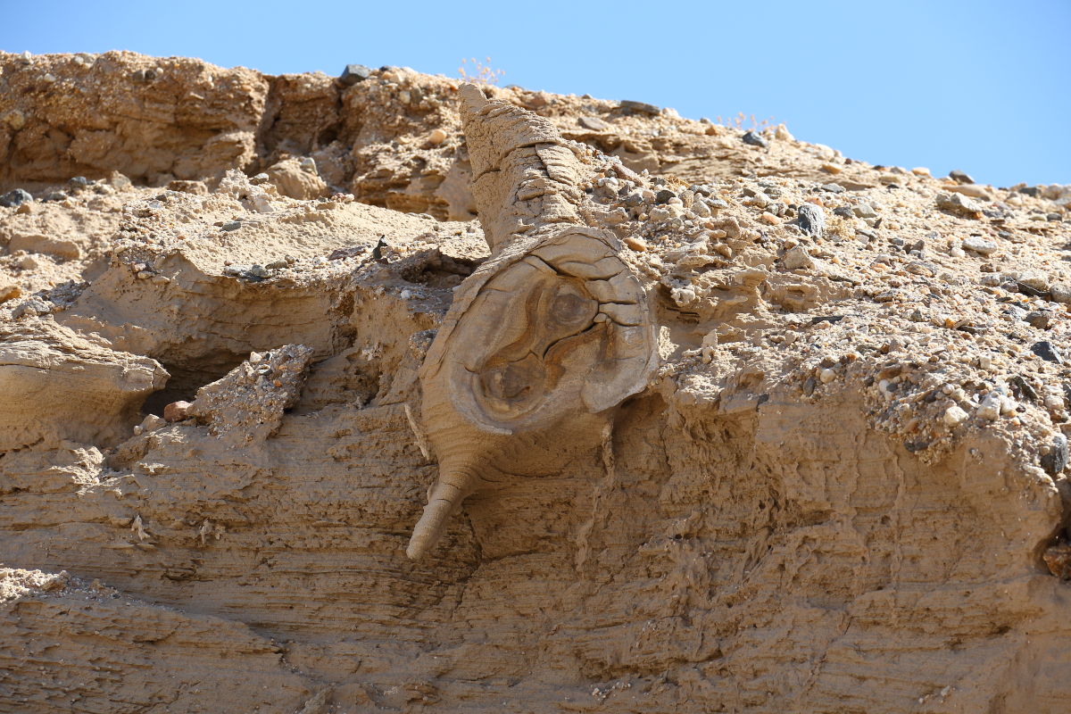 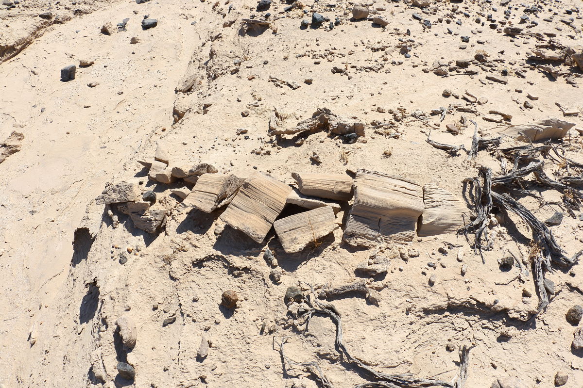 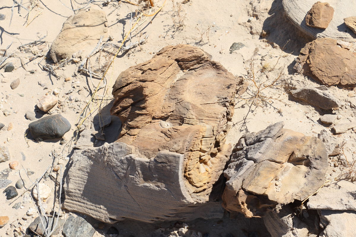 I'm guessing the trees were about 3 or 4 feet in diameter. I'm guessing the trees were about 3 or 4 feet in diameter.
 |
4/3/2018
Topic:
Yuha basin petrified wood
Britain
|
Heres a bone attached to a rock.
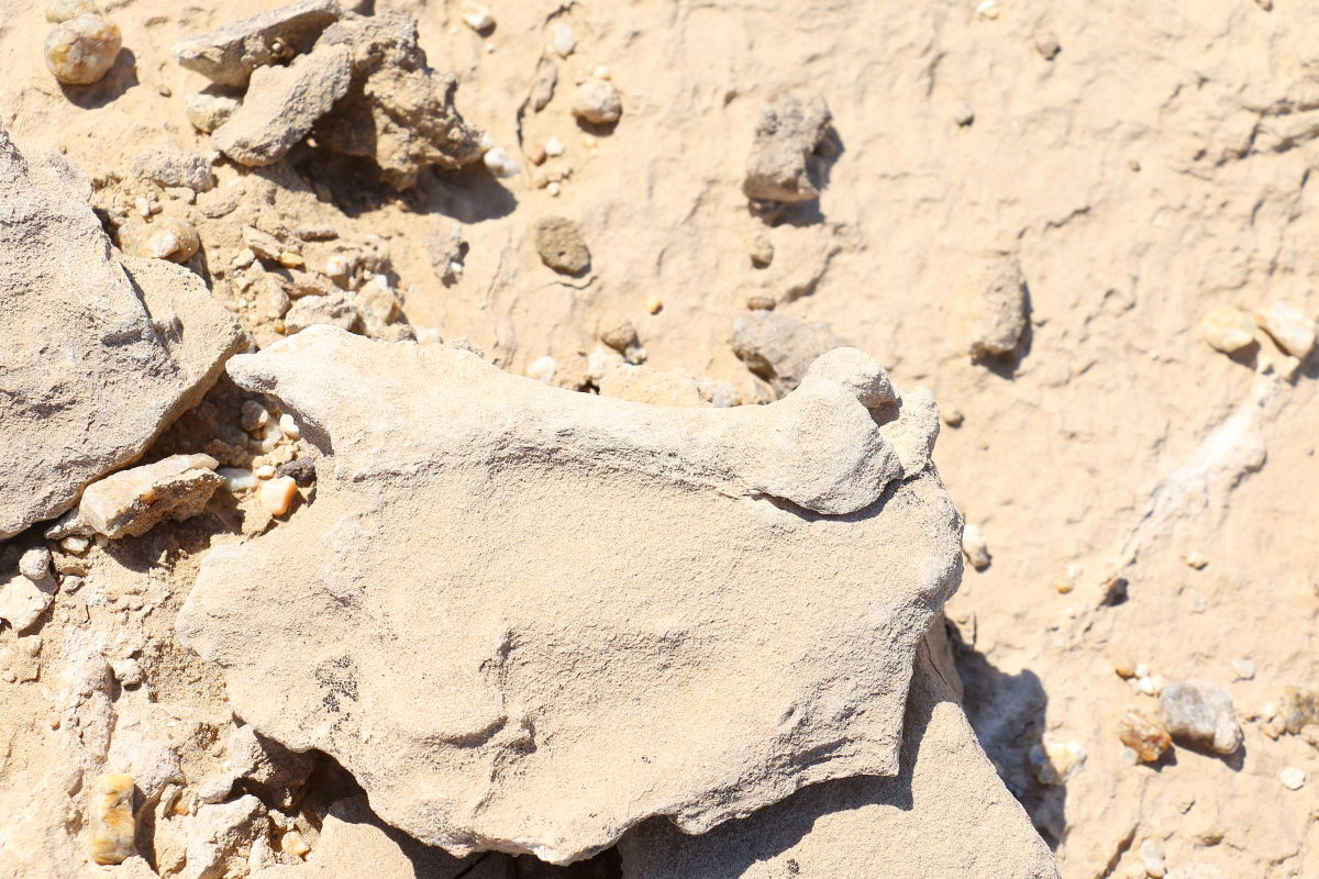 Same area as the vertebrae and petrified wood. Same area as the vertebrae and petrified wood. |
4/4/2018
Topic:
Yuha basin petrified wood
Britain
|
Well, there used to be 2 large logs with fences around them, about 5 years ago they were taken. The all-terrain vehicle damage is really bad this year. There was/is a lady at the BLM in El Centro that had a lot to do with the Yuha. I may file a complaint. Doubt they will do anything though. |
4/4/2018
Topic:
Yuha basin petrified wood
Britain
|
FYI I did stop by the BLM and talked to Carrie. They just did some recent restore to the area around the shell bed. She wasnt happy hearing about the all-terrain vehicle damage. She would notify their law enforcement side. Apparent there may be some research digs in the near future in the area. |
4/5/2018
Topic:
Yuha basin petrified wood
Britain
|
tommy750 wrote:
Not a geologist but what I'm seeing looks more like concretions. They're quite common all through ABDSP and surrounding areas and at times can sure look like petrified wood or bone. Yuha has pretty much been devastated by off roaders over the decades including the Yuha geoglyphs, trashed by some dirt bikers in the mid '70s. Jay von Werlhof tried to piece them back together but they're nothing like the old aerial photos. There's still a couple nice ones out there semi protected by their fencing and findable on GE.
edited by tommy750 on 4/5/2018
Its a tree. You need to see it. One year many small animals were exposed in the face of the wash. There was a forest of some type here. Theres bigger chunks that were fenced off but were stolen.
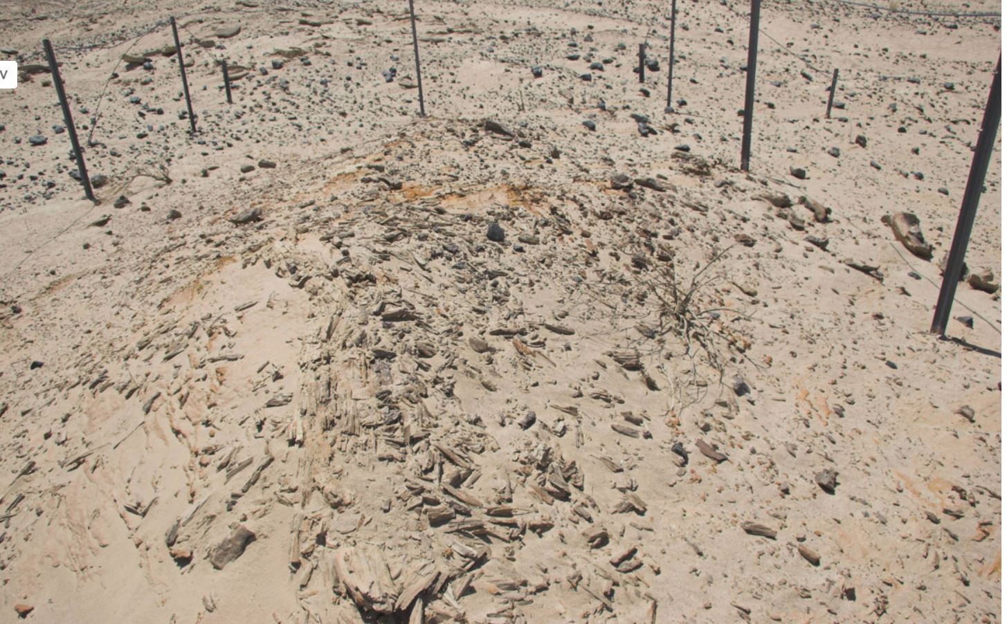
Most of the forest runs on the south side of the shell beds in a east west direction for miles. The picture above used to be a log that was about 4 feet long 3 feet in diameter. The bone picture could be a concretion. |
4/5/2018
Topic:
Yuha basin petrified wood
Britain
|
The Yuha Man. Some good reading. These ramains are old.
https://ia600309.us.archive.org/11/items/preliminaryrepor00bark/preliminaryrepor00bark.pdf |
4/7/2018
Topic:
Yuha basin petrified wood
Britain
|
In the 60's the BLM categorized items in the YUHA. Some of the items they fenced of to prevent off-roaders from destroying. Smaller items were stolen. This forest runs south of the shell beds for miles. Something flooded this area over night so to speak and buried eveything. In the washed trees and bones are being exposed. The Yuha man which was found now is estimated to be around 5K years old. Originally they had 20K years. Some cool stuff in the Yuha. Red canyon which is north east of the Carrizo creek stage station about 5 miles has more logs, big ones. They will be more protected because of the bombing area restrictions and isolation. Theres a lot of fossils also. Looks like some hikers uncovered some old fossils in the slots a bit west Coyotes. I just love hiking the desert here. So much to see and learn. |