5/13/2017
Topic:
Pinto Wash Petroglyphs
tommy750
|
Britain wrote:
Does anyone know how the Indians laid to rest their dead?
My understanding is by cremation with the remains then buried or sometimes placed in ollas and hidden. This would be true for the late prehistoric period but not before that and maybe not after European contact. |
5/20/2017
Topic:
Oriflame to Cottonwood Canyon 3 day BP
tommy750
|
sddarkman619 wrote:
what shelter is that? a Tarptent? Looking for a shelter.
where did you park vehicles so they weren't messed with?
Nice writeup thanks for sharing!
edited by sddarkman619 on 5/20/2017
Got an altaplex tent from zpacks.com last year and really like it. It weighs in at 18 oz making it lighter than a lot of bivy sacks. If you're not too tall, their solplex is less than a pound. I like tents because they keep bugs away but obviously there's pros and cons.
We left our vehicles at the Camp Hark ruins. Never have had any problems leaving a vehicle at local sites but not sure about others' experiences. |
6/2/2017
Topic:
Palm Grove Jacumba wilderness
tommy750
|
If you keep climbing another 300 ft up, you'll find another palm grove and if you continue climbing to the top and then head south a couple miles, you'll get to Peak 4004 (a great vista) or make it to Valley of the Moon. Have done it a couple times as a day hike from Old Hwy 80 in the island and it's a great trek through a very desolate area. Was before I had much hiking experience and I did the 10ish mile trip with a couple liters of fiz water and returned in the dark aided with only a tiny flashlight. Had the usual nocturnal meet and greet with BP who thought I was semi-insane. Here's a few pics from 2006:
The upper grove
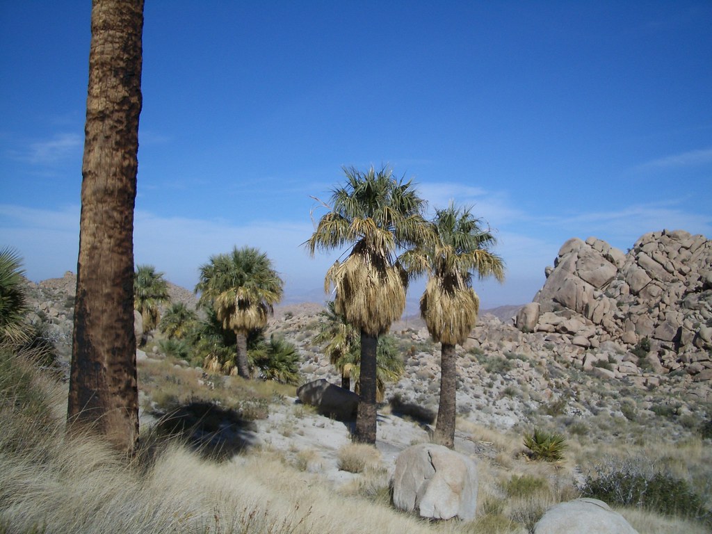 pictures 007 by tomteske, on Flickr pictures 007 by tomteske, on Flickr
Heading south
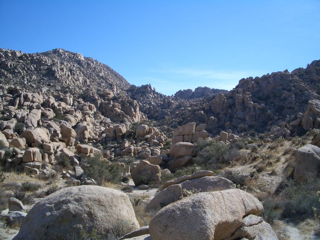 pictures 011 by tomteske, on Flickr pictures 011 by tomteske, on Flickr
Atop Peak 4004
 pictures 013 by tomteske, on Flickr pictures 013 by tomteske, on Flickr |
6/2/2017
Topic:
Palm Grove Jacumba wilderness
tommy750
|
Regarding the palms, Washingtonia filifera, they're the only endemic palm in the area. The tall skinny Washingtonia robusta (think Beverly Hills) is found in Baja alone and both are the most popular landscape palms in the world. There's a few ideas about how the palms catch on fire but the only documented ones are lightning and humans. The number of palm oases appears to be increasing and new ones are being discovered father and farther north of the border. There's a neat book on the subject entitled "Desert Palm Oasis" by James Cornett that I highly recommend. Tom |
6/4/2017
Topic:
Palm Grove Jacumba wilderness
tommy750
|
ziphius wrote:
Interesting (if true) that the number of palm oases north of the border are increasing, while the SW region has apparently gotten drier and water tables have fallen. Maybe there has been less browsing of palm seedlings in recent years, as burros, cattle, and other invasive herbivores have been eliminated from the backcountry. I'll have to check out that book by Cornett. - Jim
Something is making the climate farther north more favorable. Apparently the same thing is happening with the Sabal palm in Florida. Hmmm, could it possibly be the unmentionable change??
Wonder as to the source of the new oases. Seed dispersion from landscape palms or from existing palm oases? Maybe DNA could answer that since it's my understanding a lot Washingtonia filifera landscape palms are heavily hybridized with W. robusta making a "filibusta." N.B., not by any means a palm expert but my brother worked for years at a exotic palm nursery so a modicum of trickle down.
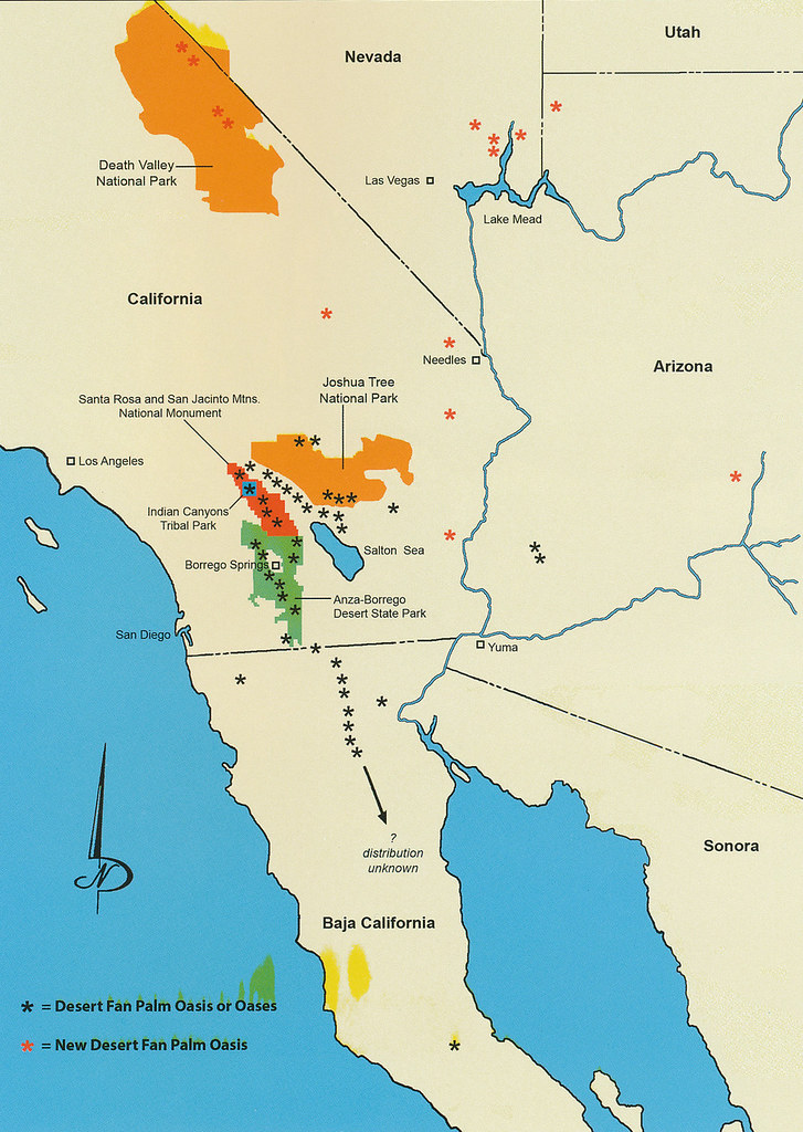 Cornett Page 71 by tomteske, on Flickr Cornett Page 71 by tomteske, on Flickr |
6/14/2017
Topic:
Volcano Graffiti
tommy750
|
That's Cerro Prieto, the other reason Ancient Lake Cahuilla ever existed at least at the 40 ft. max level. Nearby lava flows presumably acted as a spillway preventing the lake's only outflow from quickly eroding down to sea level which still would have been a huge lake. Anyway, agree nice find. |
6/15/2017
Topic:
Rumorosa Baja
tommy750
|
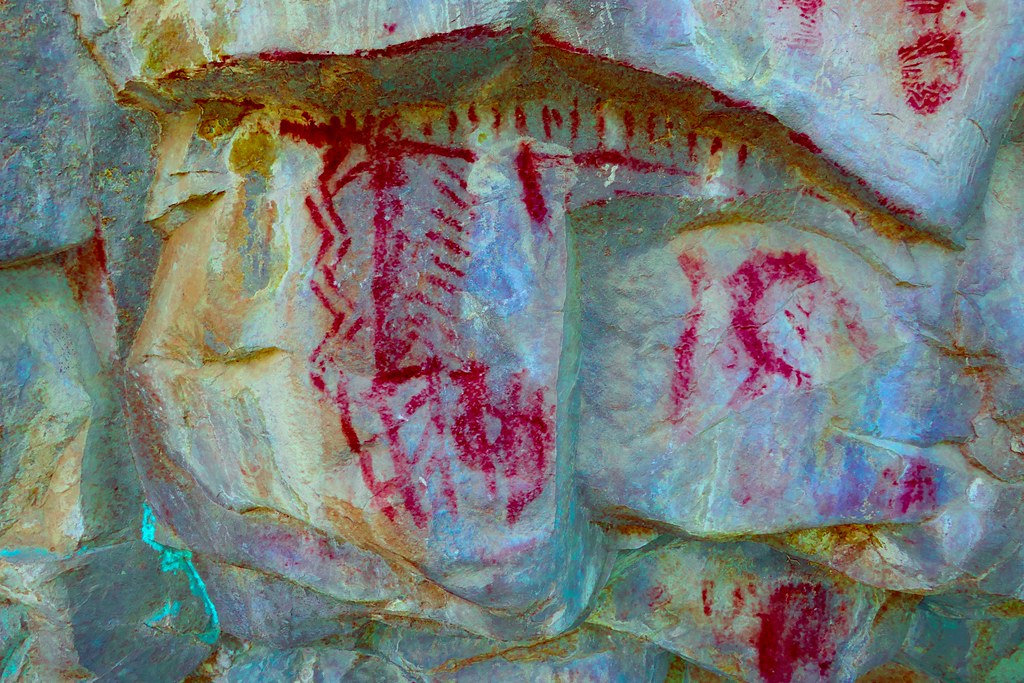
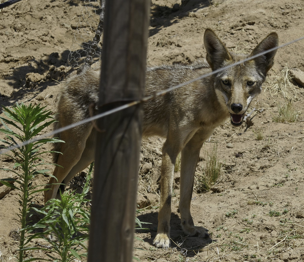
Some serious Baja "Glory Days" posting going on!! Sounds like a lot of amazing stories. Was in Valle de Guadalupe on my honeymoon two weeks ago and definitely have to say lots of great memories new and old down there. Even able to convince the new bride to help me find a Kumeyaay rock art site which she easily found while I was bumbling around in the brush. Can't wait to get back.
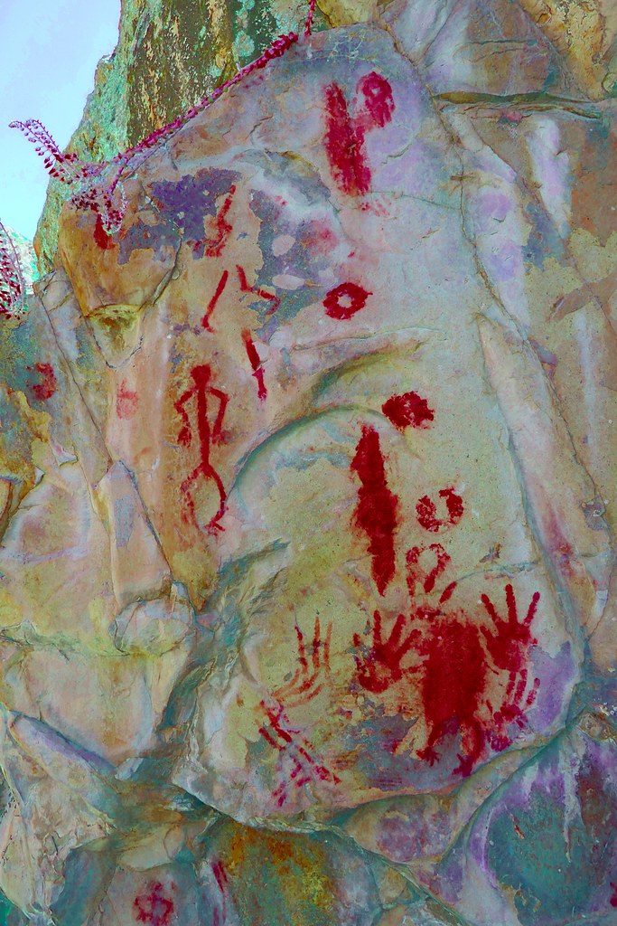 P1020766_lrd by tomteske, on Flickr P1020766_lrd by tomteske, on Flickr
 P1020780_lrd by tomteske, on Flickr P1020780_lrd by tomteske, on Flickr
 Ruffo by tomteske, on Flickr Ruffo by tomteske, on Flickr |
6/16/2017
Topic:
Rumorosa Baja
tommy750
|
Britain wrote:
Nice to see someone who still braves the Baja!
Haven't done too many trips down there recently but did drive to Los Cabos in 2010 and down to Bahia de Las Animas below LA Bay last fall. The roads are much improved compared to the "good 'ol days" with those legendary car eating potholes  But those empty pristine beaches now have houses and fences everywhere. Progress? But those empty pristine beaches now have houses and fences everywhere. Progress? |
6/27/2017
Topic:
2017 Sheep Count info
tommy750
|
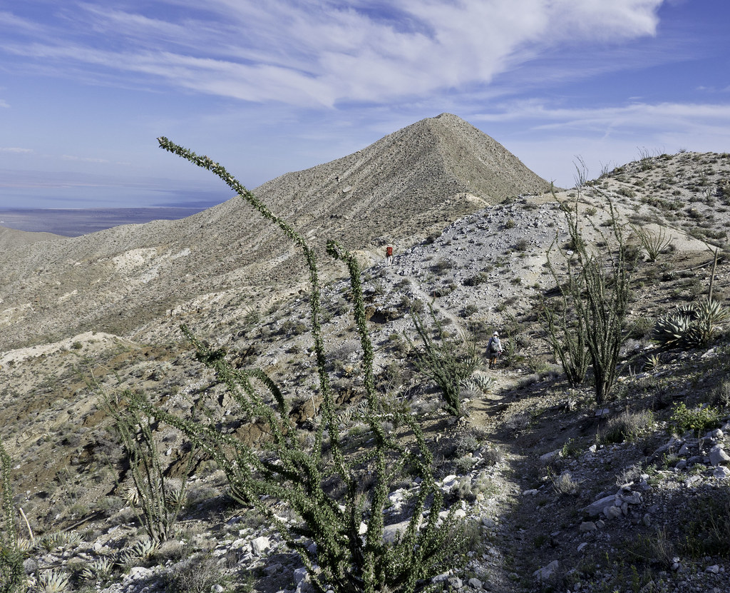
Kudos to all you counters that are braving the elements this coming weekend. Happy to have contributed a teeeny amount to the endeavor hauling water to Rattlesnake Spring earlier in the year and being rewarded in turn with a great hike on old Indian trails. Take care!
 Toward Pyramid by tomteske, on Flickr Toward Pyramid by tomteske, on Flickr |
6/28/2017
Topic:
2017 Sheep Count info
tommy750
|
Britain wrote:
Does that trail drop down toward the Salton sea side? Now need to go check it out.
Believe I recall hearing there's a couple places you can drop down toward Salton Sea off of this trail. Tom |
7/12/2017
Topic:
The "New" McCain Valley
tommy750
|
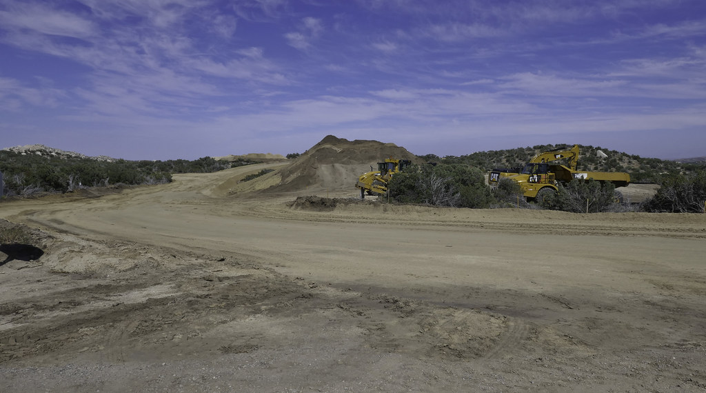
Was last out there in May doing an overnight in Canebrake and again couldn't believe the additional destruction since I posted this in March. Agree, really sad to see. Lark Canyon OHV is starting to look pristine in comparison.
Bob S, was Cottonwood campground even around back in 1965? Things must have looked very different! Thanks for posting.
 New McCain Valley by tomteske, on Flickr New McCain Valley by tomteske, on Flickr |
7/14/2017
Topic:
Photo hosting recommendations
tommy750
|
Agree with Buford. Flickr works well, at least at the present time. Who knows what will happen now that Verizon bought it. |
7/16/2017
Topic:
A 'plug' for the San Diego Tracking Team
tommy750
|
I think Daren and I went out with those guys or a similar group about a year or so ago in Grapevine to monitor transects. Was kinda interesting although can't say it was the most fun I've ever had. Did end up buying a nice guide called "Field Guide to Animal Tracks and Scat of California" which I definitely recommend. A quote from the Introduction: "It's not for everyone, this world of scat and tiny tracks. But for those who are bold, I'd say get some gloves and a jacket and a hat and explore California." |
7/16/2017
Topic:
Photo hosting recommendations
tommy750
|
dsefcik wrote:
tommy750 wrote:
Agree with Buford. Flickr works well, at least at the present time. Who knows what will happen now that Verizon bought it.
You'll get a Photo App on your Verizon phone....
The Flickr app works great! Let's face it, the only cell service that works at all "out there" is Verizon. Or, Iridium  |
7/19/2017
Topic:
The "New" McCain Valley
tommy750
|
Actually hiked up the access road to White Arrow a couple years ago but had no idea what it was at the time. Only get one hit on the internet for that name in an old BLM document from 1979. Thanks for the info, Bob S. |
8/6/2017
Topic:
The Island
tommy750
|
Funny how there's not too many August entries in that register, Daren  Looks like a nice hike. Looks like a nice hike. |
8/16/2017
Topic:
Your Go To AB Book?
tommy750
|
Just purchased this book. Seems apropos during our current political climate to review the local details of our so called Manifest Destiny. Doubt it will be an easy read.
http://newsroom.ucla.edu/stories/revealing-the-history-of-genocide-against-californias-native-americans |
8/16/2017
Topic:
Alder Canyon Area
tommy750
|
Okay, I admit it. Thought the rattler was a gopher snake from afar before I saw the head and heard the tail  Those ladybugs were pretty amazing. Here's a couple more pics of Daren enjoying ABDSP: Those ladybugs were pretty amazing. Here's a couple more pics of Daren enjoying ABDSP:
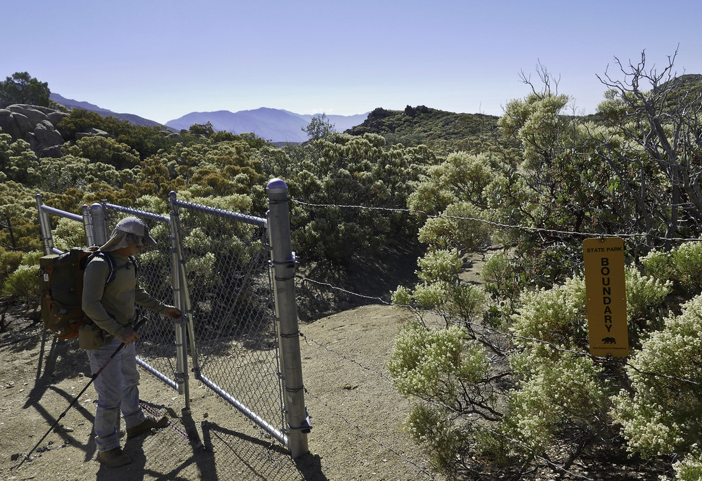 Annoying Gate by tomteske, on Flickr Annoying Gate by tomteske, on Flickr
 Boundary by tomteske, on Flickr Boundary by tomteske, on Flickr |
8/21/2017
Topic:
Davies Valley and Pinto Canyon
tommy750
|
Britain wrote:
The map from 1946, the areas labeled as springs would they be water springs? I haven't been in the south-west corner yet. But will put this on the list of todo.
I've seen water near one of the three springs (Juniper). Don't see any of them listed as springs on topo maps however.
edited by tommy750 on 8/21/2017 |
8/25/2017
Topic:
The Island - Inko BM
tommy750
|
Britain wrote:
I caught these guys up on the eastern mesa of Table Mountain. One is tagged. I saw the same bunch a month earlier at the lower bridge on 8. Picture was taken early May.
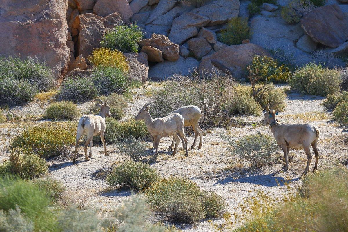
Nice pic, Britain. Was up in that same area in 2014 and have pics of green and red tagged ewes but not your blue one. Glad to see babies. |
9/7/2017
Topic:
The Island - PAH BM
tommy750
|
Was kinda warm that day but the desert is a four season adventure! Here's a few more pics:
Already about 100 degrees
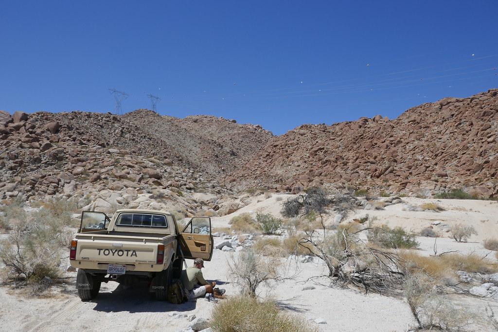 P1030206 by tomteske, on Flickr P1030206 by tomteske, on Flickr
Here's the "rock art" I was admiring in that large boulder:
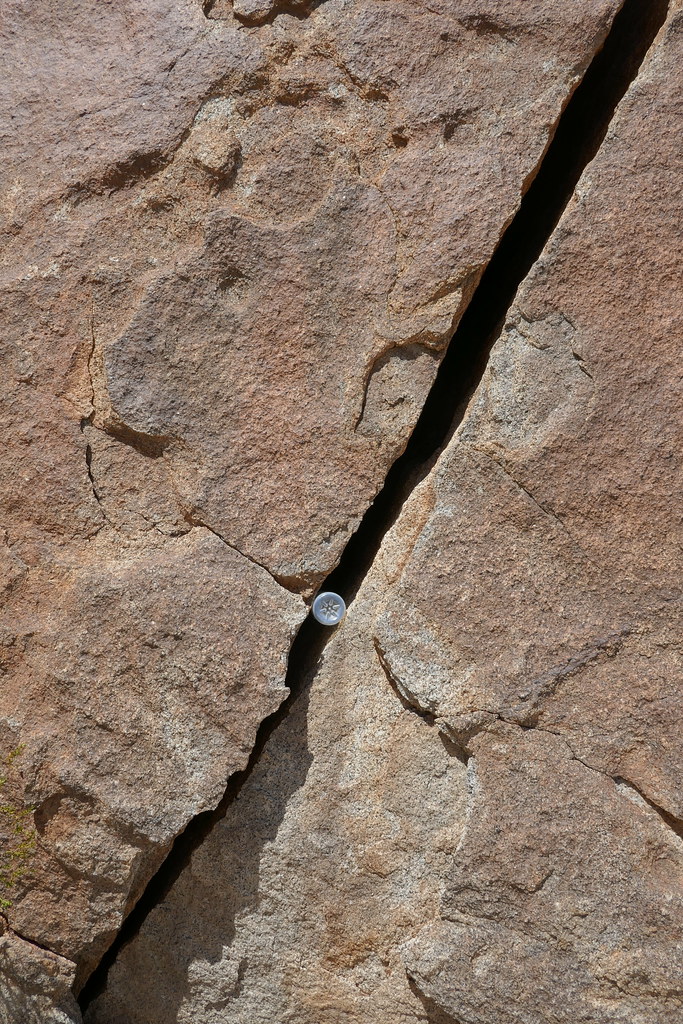 P1030214 by tomteske, on Flickr P1030214 by tomteske, on Flickr
The turbine view about halfway up to BM Not PAH
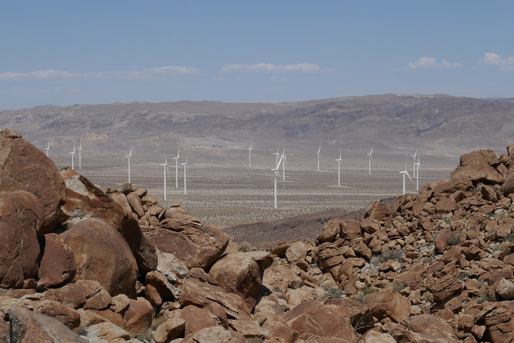 P1030208 by tomteske, on Flickr P1030208 by tomteske, on Flickr
Daren admiring the view
 P1030210 by tomteske, on Flickr P1030210 by tomteske, on Flickr
 P1030213 by tomteske, on Flickr P1030213 by tomteske, on Flickr
The Island's named BMs are DEVIL, INKO, PAH (those easy ones Daren did) and then the really tough ones, SPRING and LOAF. Bagged SPRING with a brutal 15ft RT 1ft G/L death march. LOAF is a few feet from the #1 westbound lane of I-8. Was blocked from LOAF by the wife who forbade me from dashing across both lanes last Friday night because of the holiday Zonie invasion that made crossing riskier than a Widlebeest fording the Mara River during a Serengeti migration 
 IMG_3902 by tomteske, on Flickr IMG_3902 by tomteske, on Flickr
 BM Spring by tomteske, on Flickr BM Spring by tomteske, on Flickr |
9/8/2017
Topic:
The Island - PAH BM
tommy750
|
Britain wrote:
So what was that stuck in the rock crack? Looks like a bullet casing.
Someone shoved a water bottle in the crack. |
9/8/2017
Topic:
BM's
tommy750
|
Try these. Both are incomplete but have lots of info. Tom
https://www.ngs.noaa.gov/CORS-Proxy/NGSDataExplorer/
https://www.geocaching.com/mark/ |
9/9/2017
Topic:
BM's
tommy750
|
Peakbaggers.com has BMs. They list BM PAH at the incorrect location and three people report bagging it but none actually leave a trip report.
http://www.peakbagger.com/peak.aspx?pid=27325 |
9/9/2017
Topic:
The Island - PAH BM
tommy750
|
Britain wrote:
Who names these things. Spring? Was there a Spring there? I may hopp across the freeway to look at LOAF on the way out Sunday.
Well, here it is. Or isn't. Looks like BM LOAF got replaced with a generic disk. Too bad.
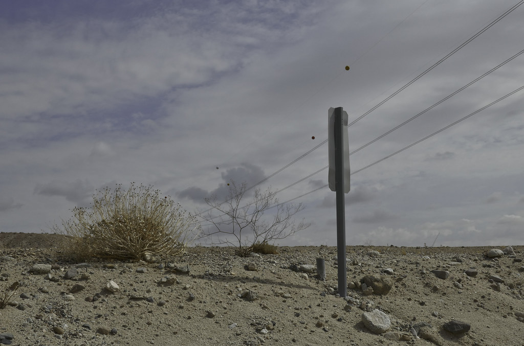 BM LOAF by tomteske, on Flickr BM LOAF by tomteske, on Flickr
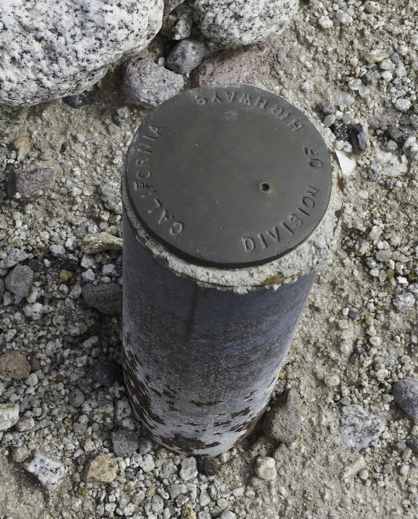 Missing LOAF by tomteske, on Flickr Missing LOAF by tomteske, on Flickr
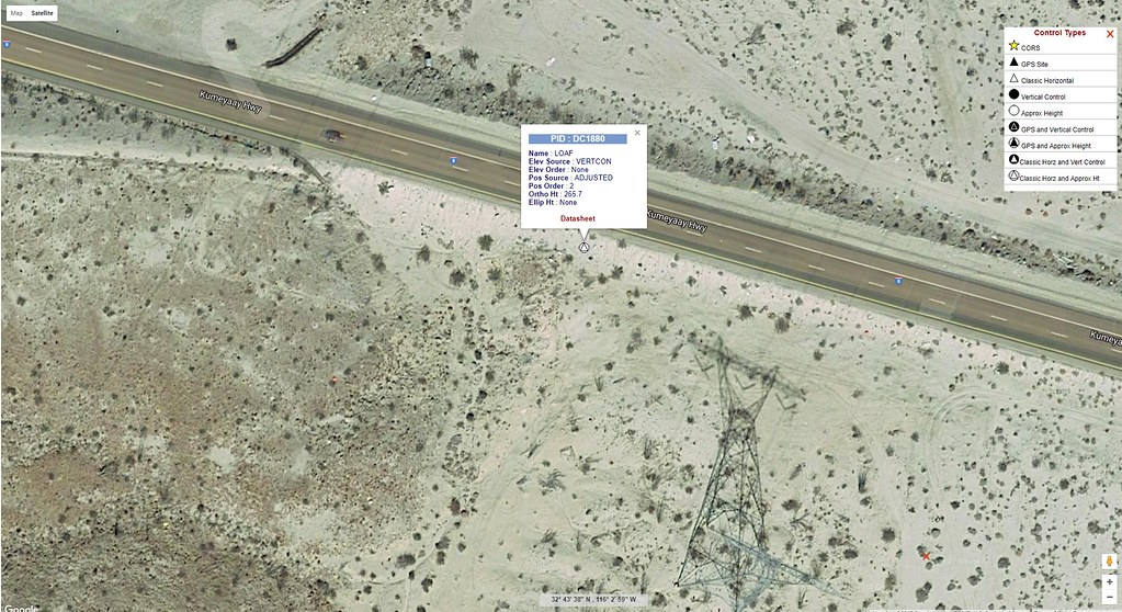 LOAF Local by tomteske, on Flickr LOAF Local by tomteske, on Flickr |
9/10/2017
Topic:
North McCain Valley
tommy750
|
Drove out to McCain Valley yesterday for a dayhike. Went to the end of McCain Valley Rd and then just kept going. There's an abandoned dirt road heading north but it's pretty hard to follow. Was mainly cloudy and foggy with brief rain showers throughout the day but great to be out of the heat. The scenery sure has change out there.
McCain Valley Road, Now, there's a second row of power poles for the wind turbines.
 New McCain Valley Rd by tomteske, on Flickr New McCain Valley Rd by tomteske, on Flickr
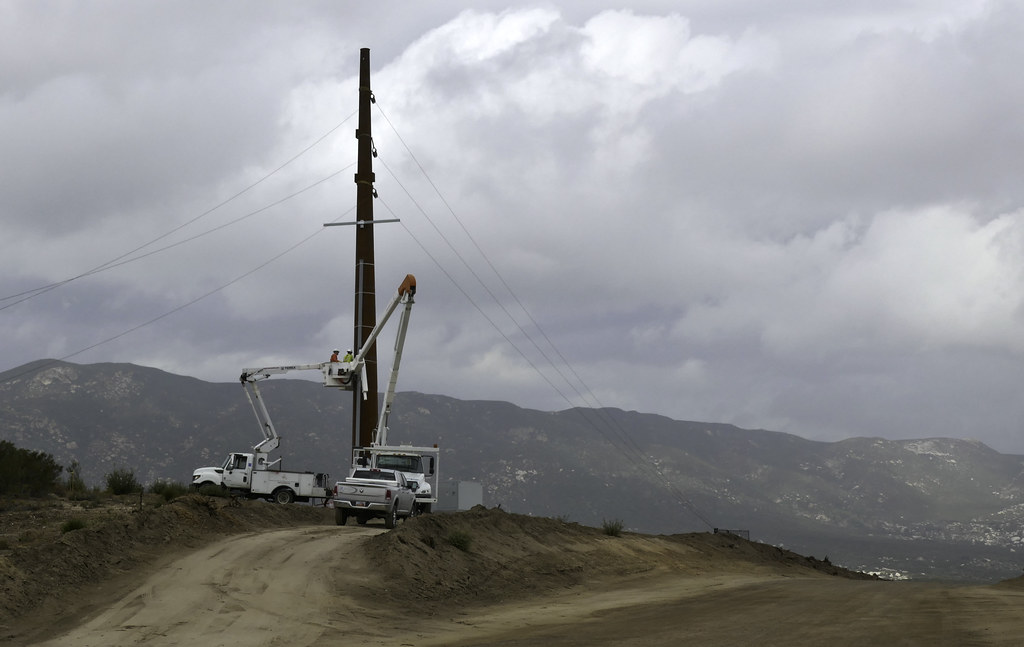 Pulling Wire by tomteske, on Flickr Pulling Wire by tomteske, on Flickr
The turbines are going up quickly. Already a bunch of towers in place behind Lark Canyon. Assuming everyone quit work when the thunderstorm rolled through...
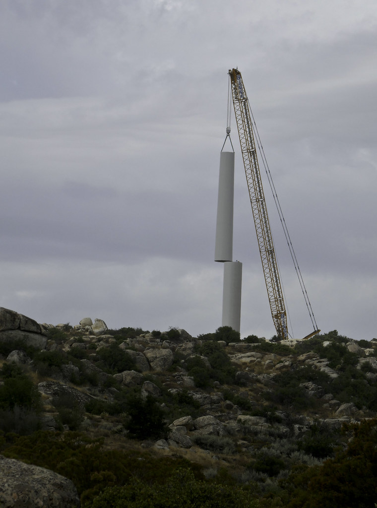 Turbine by tomteske, on Flickr Turbine by tomteske, on Flickr
Meandered up the valley till I got to the start of the steep descent into Canebrake. This is a from a rocky promintory overlooking Canebrake. Great expansive views.
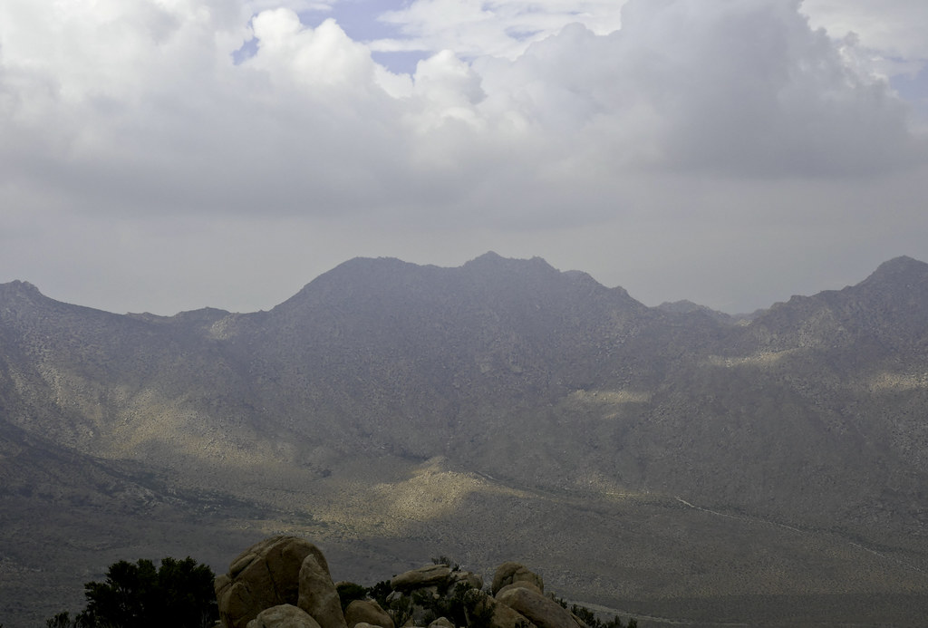 Canebrake by tomteske, on Flickr Canebrake by tomteske, on Flickr
Looking North up Canebrake. Pepperwood Canyon is in the foreground.
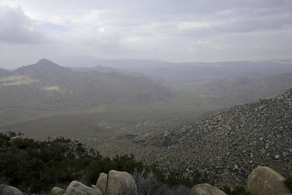 Canebrake North by tomteske, on Flickr Canebrake North by tomteske, on Flickr
Looking across Pepperwood Canyon at Peppwood Peak, the one in the middle.
 Pepperwood Canyon by tomteske, on Flickr Pepperwood Canyon by tomteske, on Flickr
The sky had mainly cleared on the way out. More pics of how things have changed.
 Striations by tomteske, on Flickr Striations by tomteske, on Flickr
 Three Colors by tomteske, on Flickr Three Colors by tomteske, on Flickr
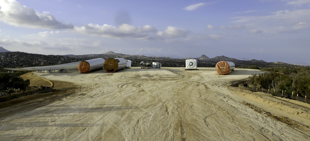 Turbine Parts by tomteske, on Flickr Turbine Parts by tomteske, on Flickr
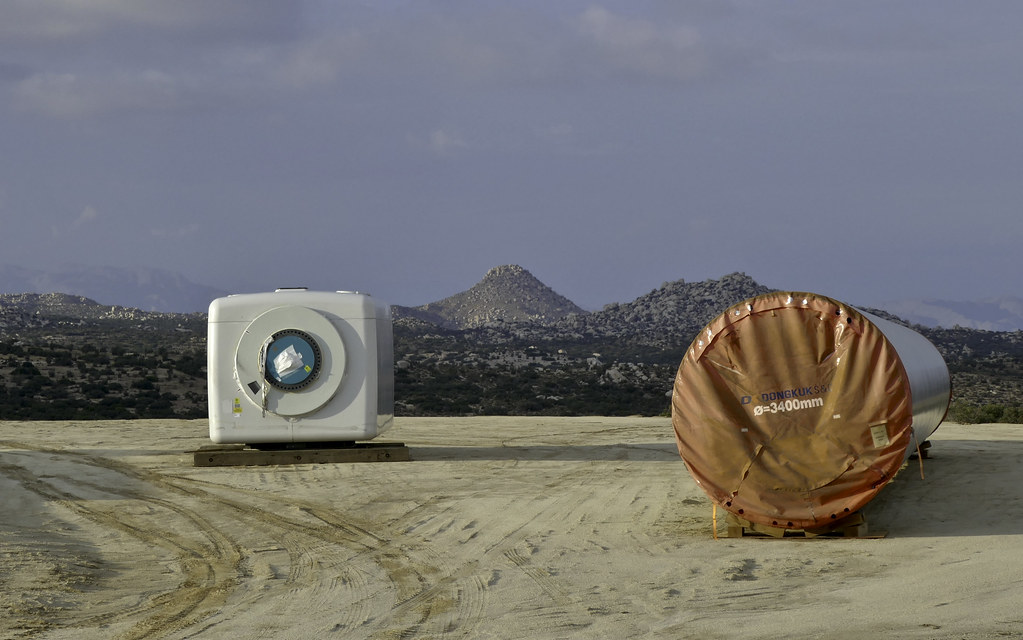 Sombrero View by tomteske, on Flickr Sombrero View by tomteske, on Flickr
Enjoy. Tom |
9/10/2017
Topic:
North McCain Valley
tommy750
|
Britain wrote:
Its tragic whats happened to McCain area with power lines and turbines. Last time I was there in 2002 we packed down the trail to Cranebrake. Hoping find some of the McCain history. In the 70's we tested our rock climbing skills on the big junk of granite. I dont remember the name of it anymore. Did loose some anchors in it.
If you drive to the end of the road and don't look south, it's still a great place to escape. There's going to be huge turbines just north of Cottonwood Campground to keep you company from now on. |
9/10/2017
Topic:
BM's
tommy750
|
Guessing this is probably the exact location.
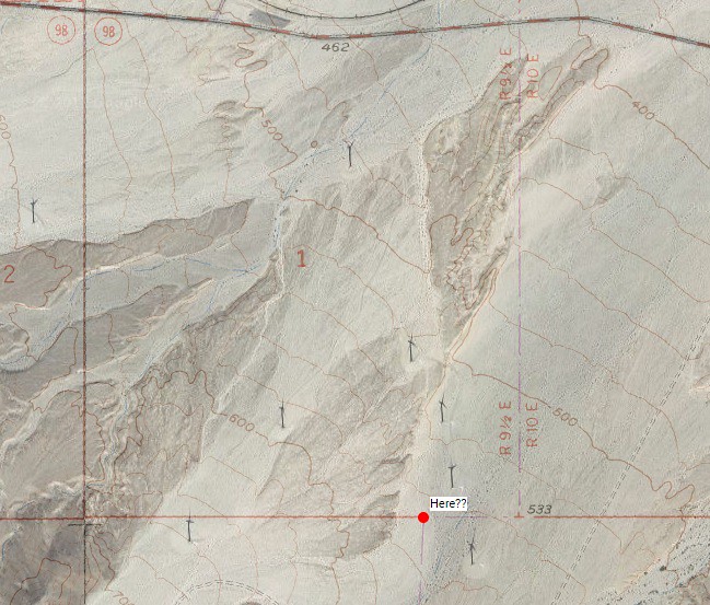 Here by tomteske, on Flickr Here by tomteske, on Flickr |
9/10/2017
Topic:
BM's
tommy750
|
Britain wrote:
Question, Why would it be 1/4 S on S33? Caltopo survey map.
edited by Britain on 9/10/2017
edited by Britain on 9/10/2017
I'm interpreting that marker to mean it's a quarter of the way along a boundary of Section 1. Assuming it's that particular S1 since you said it was near the downer turbine and that section also has a junction approximately 1/4 the way west of one of its corners.
Here's a nice blurb on Township and Range stuff: https://nationalmap.gov/small_scale/a_plss.html
I find the topics of surveying and geodetics fascinating on a superficial level but overwhelming past the basics. |
9/11/2017
Topic:
BM's
tommy750
|
That is a cool map! Thanks. |
9/15/2017
Topic:
North McCain Valley
tommy750
|
Saw the new GE images. Looks bad up close and from afar. |
10/17/2017
Topic:
McCain and Wind Turbines
tommy750
|
Those things go up like weeds. Should be enjoyable relaxing at Cottonwood with the nearby 2,000 lumen, I mean candela, red LEDs flashing every few seconds and the whoosh whoosh providing audio.
edited by tommy750 on 10/20/2017 |
10/20/2017
Topic:
McCain and Wind Turbines
tommy750
|
dsefcik wrote:
Technically I think the requirement is 32.5 candela once the obstruction reaches 200 feet but many of the lighting systems I researched had specs of 2,000 candela and some FAA docs had charts showing as much as 20,000 candela for some situations. I am no expert at all, just did some searching and learned a few new things.
Well Daren, didn't know you were so fascinated by lighting units! I corrected my post to say 2,000 cd so we're good  |
10/20/2017
Topic:
Ute Rock art
tommy750
|
Yep, post European contact petros. |
10/23/2017
Topic:
Memorials in the Park
tommy750
|
Nice find, Daren. Thanks for the update. |
11/9/2017
Topic:
Indian roasting pits and Yoni's
tommy750
|
Toward the end of this thread there's a discussion of my take on yonis: http://www.anzaborrego.net/anzaborrego/Forum/topic1183-jacumba-and-table-mountain-exploration.aspx
At the time, I hadn't read Heather Thomsen's thesis but she joined the discussion (outnabout) and forwarded me a copy as promised. Yonis in Anza Borrego is an appealing concept just lacking evidence IMHO |
11/26/2017
Topic:
Mountain Springs to Juniper springs
tommy750
|
Nice, Britain! Good to see other hikers not afraid of a little 80-90 degree weather  Was coincidentally planning a three day backpack trip out that way this weekend with Daren and a couple others but the heat and no definite water source made us go day hiking elsewhere. Any water at either of those locations?? Looks kinda dry in the photo of the upper grove. Have seen water at least once in November. Tom Was coincidentally planning a three day backpack trip out that way this weekend with Daren and a couple others but the heat and no definite water source made us go day hiking elsewhere. Any water at either of those locations?? Looks kinda dry in the photo of the upper grove. Have seen water at least once in November. Tom
edited by tommy750 on 11/26/2017 |
11/27/2017
Topic:
Mountain Springs to Juniper springs
tommy750
|
Here's a pic near the lower grove with water in Jan 2006:
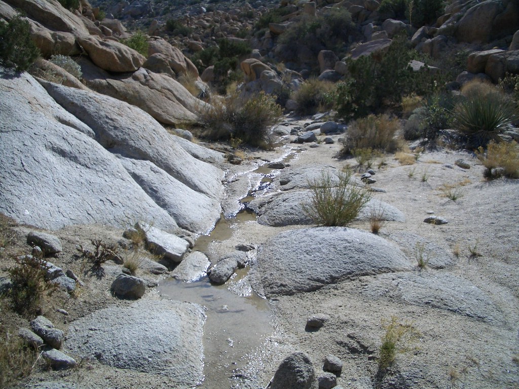 pictures 001 by tomteske, on Flickr pictures 001 by tomteske, on Flickr
This is what's on top of the second grove looking south toward Pk 4004:
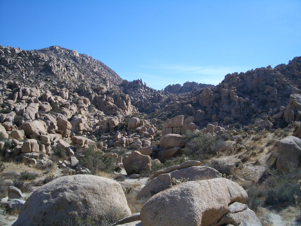 pictures 011 by tomteske, on Flickr pictures 011 by tomteske, on Flickr
A couple pics from atop Pk 4004. A great hike the way you went or from Valley of the Moon. Wouldn't mind doing it again some time! Tom
 336 by tomteske, on Flickr 336 by tomteske, on Flickr
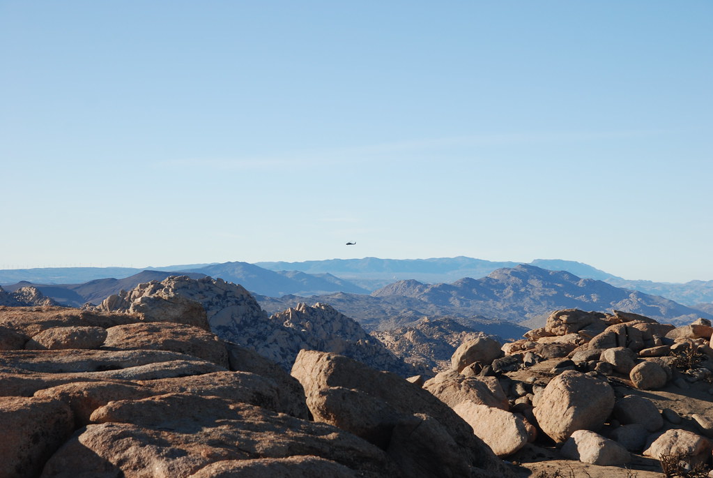 302 by tomteske, on Flickr 302 by tomteske, on Flickr |
11/27/2017
Topic:
Rockhouse, Jacumba Jim, Four Frogs and East Fork
tommy750
|
As previously mentioned, was planning a three day BP trip to Boulder/Myer/Pinto Canyons but the weather wasn't cooperative. Daren suggested car camping and day hikes to side canyons off Carrizo Canyon. So, met up with Daren, Gary and Joel for some old fashion car camping and hiking. Was in the high 80's for the entire weekend but nice and cool in the evenings. Pretty sandy in Carrizo Wash at present and the 4x4 only sign is probably correct. We began at Rockhouse and worked our way up canyon. At an occupation site, I (okay, it was really the DStretch app on my phone) found some faint pictos. Lots of nice prehistory to explore.
On the way out looking toward McCain Valley from near Sweeney Pass:
 McCain Valley by tomteske, on Flickr McCain Valley by tomteske, on Flickr
In Rockhouse:
 P1030547_yxx by tomteske, on Flickr P1030547_yxx by tomteske, on Flickr
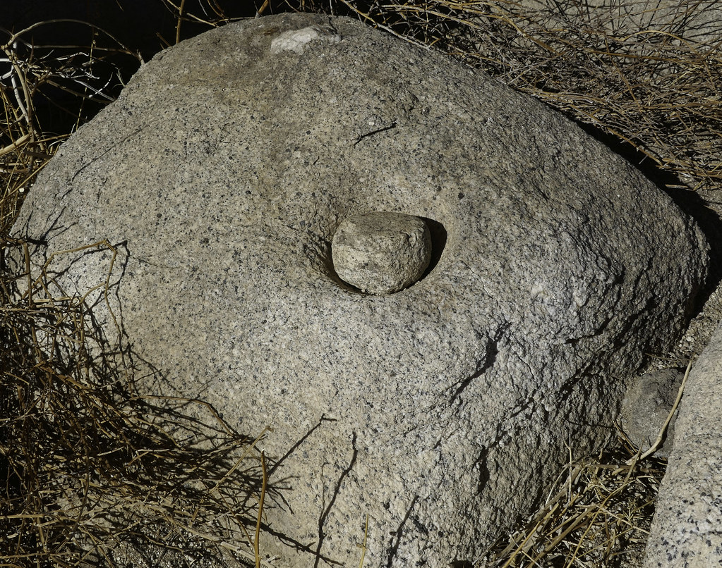 Mortero y Mano by tomteske, on Flickr Mortero y Mano by tomteske, on Flickr
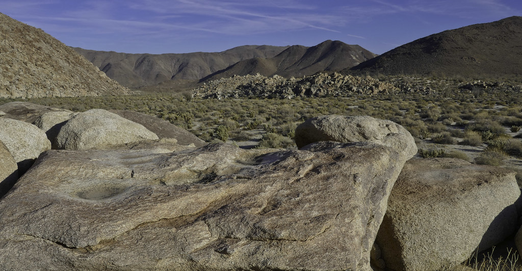 Rockhouse Morteros by tomteske, on Flickr Rockhouse Morteros by tomteske, on Flickr
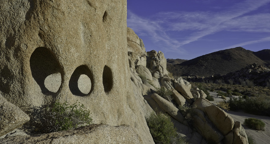 Third Eye Blind by tomteske, on Flickr Third Eye Blind by tomteske, on Flickr
The next day we did a loop hike up Jacumba Jim Canyon to a south tributary of Four Frogs Canyon. Encountered water and a nice palm grove. Made a steep ascent out of Jacumba Jim and passed east of Al Holden Pk before descending into Four Frogs. Daren and Gary hiked down the ridge south of the canyon encountering a bunch of roasting pits while my knees told me the sandy wash was a better option.
Water in Jacumba Jim before the first large palm grove:
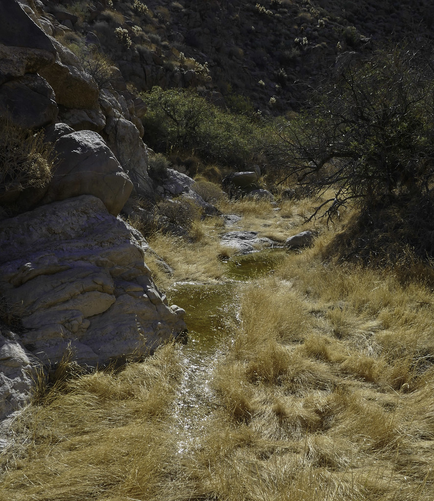 Water in Jacumba Jim by tomteske, on Flickr Water in Jacumba Jim by tomteske, on Flickr
Looking up Jacumba Jim:
 Up Jacumba Jim Canyon by tomteske, on Flickr Up Jacumba Jim Canyon by tomteske, on Flickr
Occupation site:
 Mortero by tomteske, on Flickr Mortero by tomteske, on Flickr
Ascending out of Jacumba Jim:
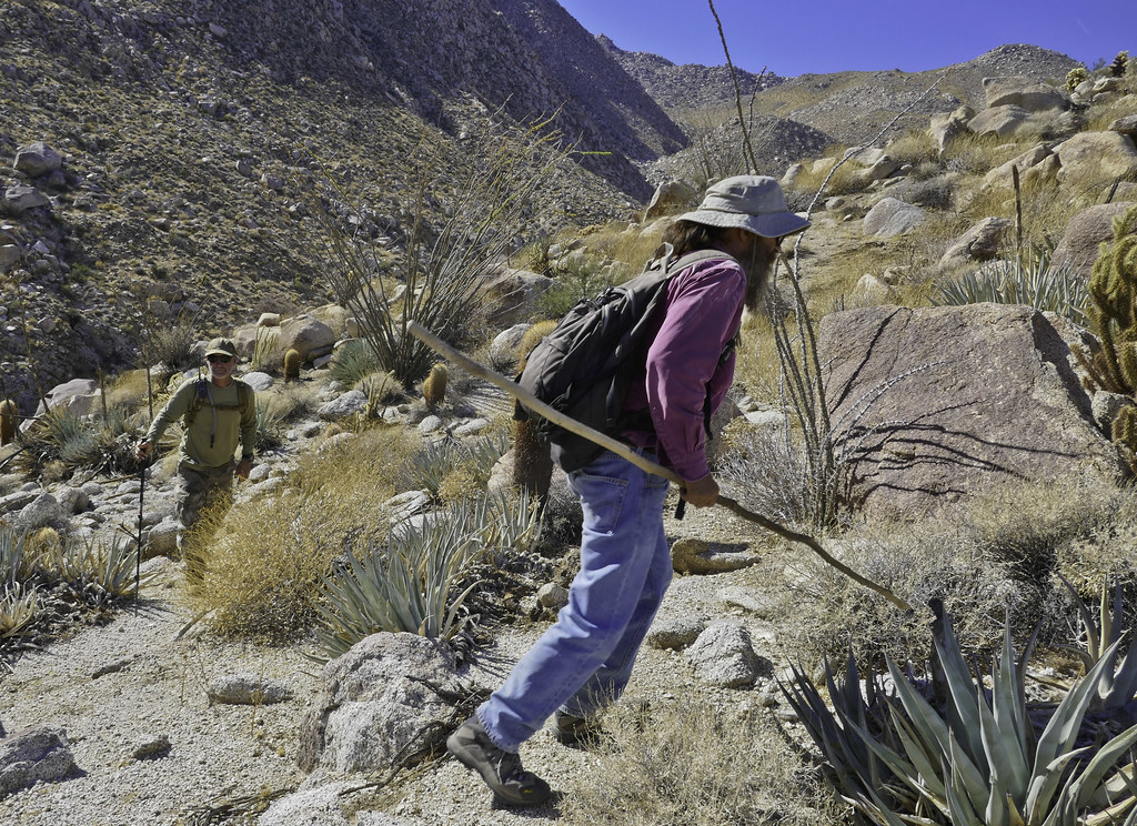 Gary and Daren Above Jacumba Jim Canyon by tomteske, on Flickr Gary and Daren Above Jacumba Jim Canyon by tomteske, on Flickr
The view from above. The confluence of Four Frogs, East Fork and Carrizo is a little to the left of the center:
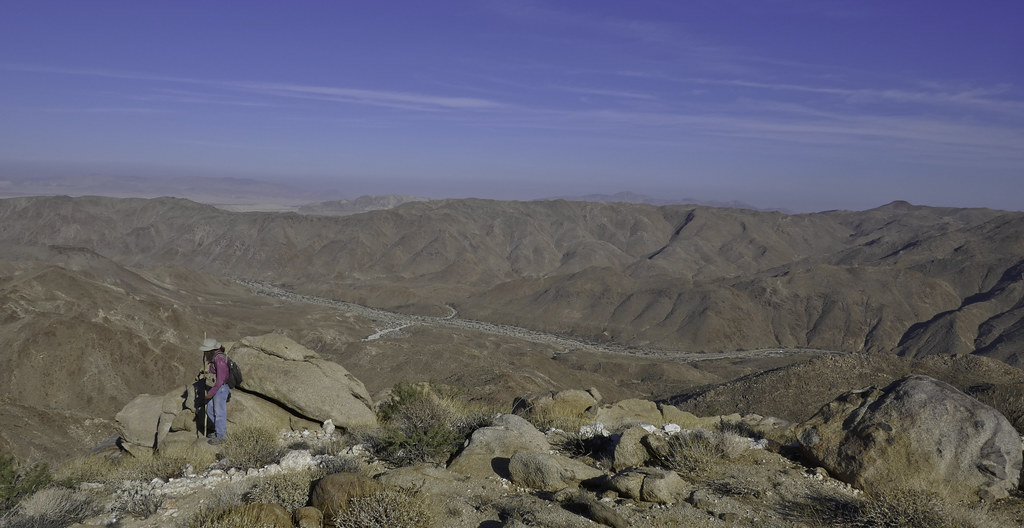 Gary Above Carrizo by tomteske, on Flickr Gary Above Carrizo by tomteske, on Flickr
On Sunday we headed up East Fork to Carrizo Palms. Three sheep skeletons and one owl were encountered along the way. Almost 20 miles, 4K gain/loss and a few beverage in all. Enjoy! Tom
 East Fork Owl by tomteske, on Flickr East Fork Owl by tomteske, on Flickr
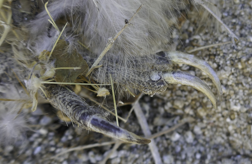 Garras Afilados Tecolote by tomteske, on Flickr Garras Afilados Tecolote by tomteske, on Flickr
edited by tommy750 on 11/27/2017 |
11/28/2017
Topic:
Rockhouse, Jacumba Jim, Four Frogs and East Fork
tommy750
|
Britain wrote:
Is there a map showing 4 frogs and Jims? I see gps tracks but no call outs.
Jerry Schad's book has a similar hike looping from the top down and gives brief descriptions of the canyons as I recall. Four Frogs is right across from East Fork and Jacumba Jim is about 1.2 miles south. Have fun. |
11/29/2017
Topic:
Rockhouse, Jacumba Jim, Four Frogs and East Fork
tommy750
|
dsefcik wrote:
Nice photos Tom....all I have to add is the coyote scat with shoelace

Total mylar balloons this trip - 7
So Daren, millions of animal pooping in the desert and you alone spot the Kit Kat scat AND the shoe lace scat?? Scat Skill Level 3000 for sure! |
11/29/2017
Topic:
Rockhouse, Jacumba Jim, Four Frogs and East Fork
tommy750
|
Britain wrote:
Went up the Jacumba Jim Canyon today. Went as far as where you guys left and went up to McCain. I think the owl is a Burrowing owl, I seen one in the water area. I also found a Montero with a stone in it, not yours. Found a well-defined trail leading up a northern facing wash which led straight to a roasting pit. Found an old can up on the north side rocks. Wonder if someone lived here a while back. Certainly got cooler closer to the McCain exit. And yes the soft sand in Carrizo is a mess!
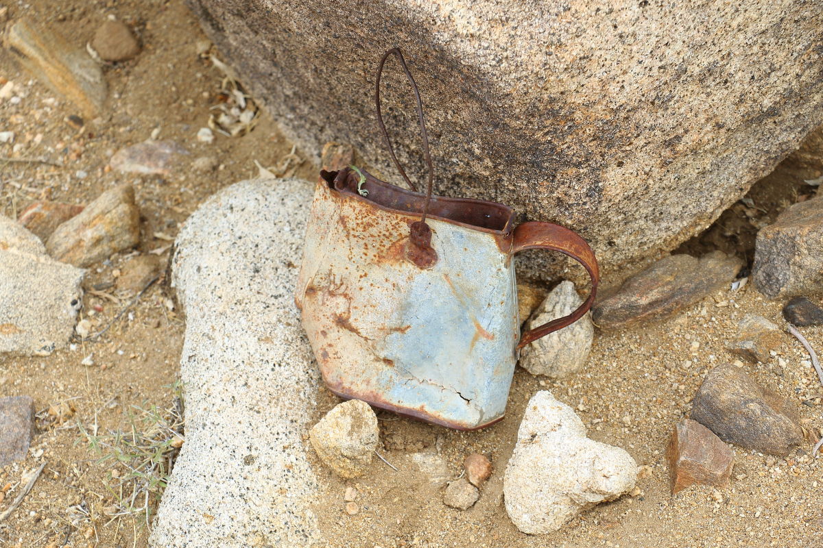
edited by Britain on 11/29/2017
You went all the way up to McCain? Did you veer to the south and end up by those dirt roads/trails? Looks a little bouldery through there  Looks like a nice canyon to explore. Looks like a nice canyon to explore. |
12/7/2017
Topic:
Rockhouse / Buck Ridge
tommy750
|
Looks like a great trip, Daren. Can personally attest, the crew on this hike is always busy fixing the springs and hacking down the evil tamarisks. Nice work! |
12/7/2017
Topic:
A different desert
tommy750
|
Great pics, Buford. |
12/8/2017
Topic:
A Red Desert
tommy750
|
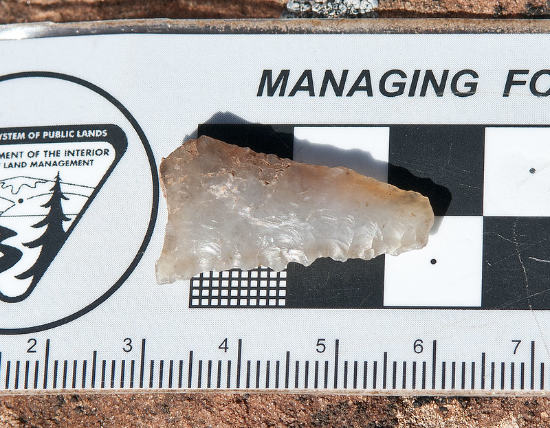
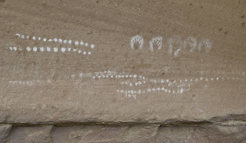
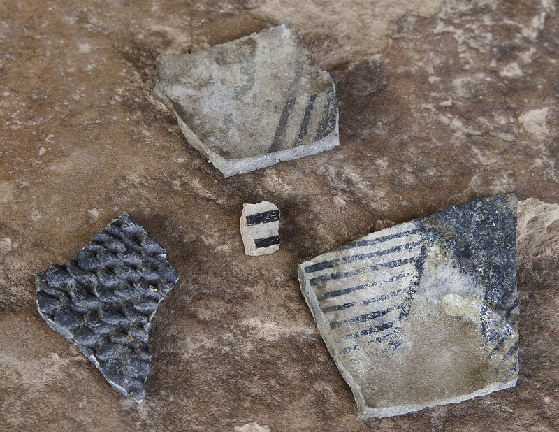
Did volunteer work via a Sierra Club trip assisting Moab BLM do site surveys for some "new park or monument" back in 2013 in what is now Bears Ears. Amazing area loaded with prehistory. Can't imagine in a hundred years anyone will be sad we didn't frack up or overgraze the area a little more than it all ready is. Really short sighted. Thanks for bringing attention to this, Buford. Here a few more pics of the area.
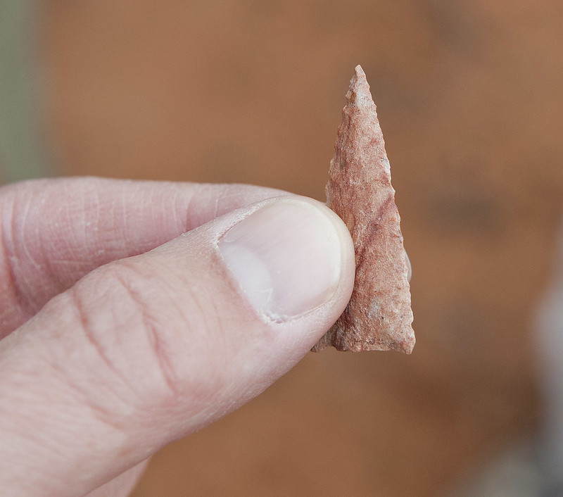 Casa Colorado Point by tomteske, on Flickr Casa Colorado Point by tomteske, on Flickr
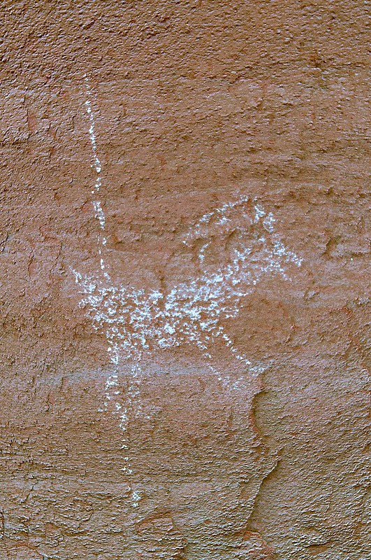 pictos5_lye by tomteske, on Flickr pictos5_lye by tomteske, on Flickr
 White Chalcedony Point back by tomteske, on Flickr White Chalcedony Point back by tomteske, on Flickr
 Salt Creek by tomteske, on Flickr Salt Creek by tomteske, on Flickr
 Sherds by tomteske, on Flickr Sherds by tomteske, on Flickr |
12/19/2017
Topic:
Split Mountain East and West
tommy750
|
Nice TR. Looks like a great day for a hike. Envy from all of us stuck at work! Tom |
12/22/2017
Topic:
Best route for hike from Laguna to desert floor?
tommy750
|
Here’s my trip report on dropping down from the Lagunas via Cottonwood earlier this year: http://www.anzaborrego.net/anzaborrego/Forum/topic1279-oriflame-to-cottonwood-canyon--day-bp.aspx
You can find a way from the highway down to the top of Cottonwood Canyon looking on Google Earth. As I recall there’s different options depending on how much you enjoy brush  |
12/26/2017
Topic:
Your Go To AB Book?
tommy750
|
Britain wrote:
tommy750 wrote:
Just purchased this book. Seems apropos during our current political climate to review the local details of our so called Manifest Destiny. Doubt it will be an easy read.
http://newsroom.ucla.edu/stories/revealing-the-history-of-genocide-against-californias-native-americans
Ordered.
About 1/4 through my copy and difficult to comprehend the genocidal level treatment Native Americans endured at the hands of "enlightened" Westerners. Impossible to exaggerate the suffering endured. |
12/26/2017
Topic:
Best route for hike from Laguna to desert floor?
tommy750
|
Rocko1 wrote:
tommy750 wrote:
Here’s my trip report on dropping down from the Lagunas via Cottonwood earlier this year: http://www.anzaborrego.net/anzaborrego/Forum/topic1279-oriflame-to-cottonwood-canyon--day-bp.aspx
You can find a way from the highway down to the top of Cottonwood Canyon looking on Google Earth. As I recall there’s different options depending on how much you enjoy brush 
Great trip. Do you have any gps coordinates from this trip? Maybe entry/exit point?
If you wanted to do a straight Sunrise Hwy to S2 hike you could park at the lot .8 miles north of the northernmost intersection of Deer Park Rd and Sunrise Hwy, drop down to PCT and head south till you get to a dirt road that leads toward the top of Cottowood Canyon. It will take you to near Butterfield Ranch on S2. Am thinking they will let you park there for a fee. You can easily create your own points on GE or caltopo. Don't have clear entry/exit points since we didn't go your planned route. Hope that helps. Tom |
12/29/2017
Topic:
Carrizo Creek, BM LOST and South Mesa
tommy750
|
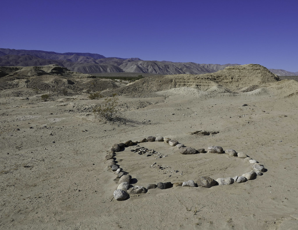
Thought I'd burn off some Christmas calories and check out a few places I've been meaning to visit mainly stumbling upon while checking out GE. Three streams flow into the Carrizo Valley, Vallecito, Bow Willow and Carrizo. They feed Carrizo Cienaga/Marsh, an area undergoing tamarisk removal with mitigation dollars from Pattern Energy. Headed out Bow Willow Creek and parked near an old well and nearby structure remains possibly the old Bow Willow ranger station. Headed south over a small ridge and came across this recent addition to ABDSP:
 Rock Heart by tomteske, on Flickr Rock Heart by tomteske, on Flickr
On some low lying rises, a few cleared circles, some with small cairns and a few scattered flakes.
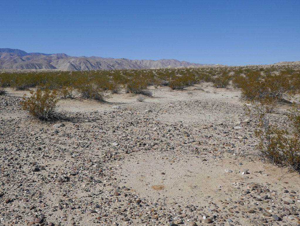 Cleared Circles2 by tomteske, on Flickr Cleared Circles2 by tomteske, on Flickr
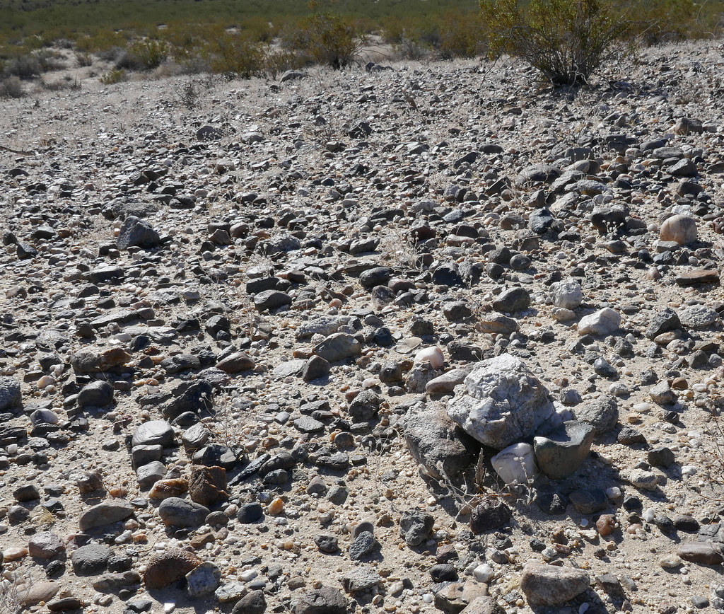 Small Cairn2 by tomteske, on Flickr Small Cairn2 by tomteske, on Flickr
On the way back, stumbled on this, presumably from one of the homesteaders that carved up parts of Carrizo Valley.
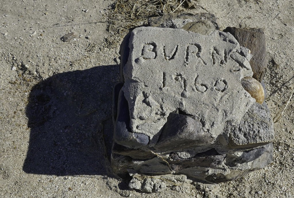 Burns 1960 by tomteske, on Flickr Burns 1960 by tomteske, on Flickr
Ended up finding over a dozen stone posts, some partially completed and others still piles of cobble next to a marker awaiting completion. Couldn't find much history about the homesteaders in this area. The only site I found info on was the stone cabin near the Carrizo Stage Station built by the Graves family of El Cajon per Lindsay.
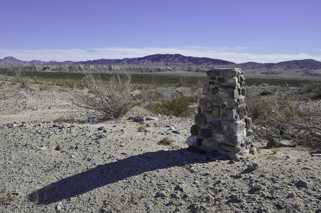 Burns Stele by tomteske, on Flickr Burns Stele by tomteske, on Flickr
Headed further downstream past the confluence of the three streams and started toward BM LOST, a great BM name, IMHO. Encountered more cleared circles. Reportedly they're now felt to be some sort of ceremonial prayer site and not "sleeping circles" since many are too small to sleep in.
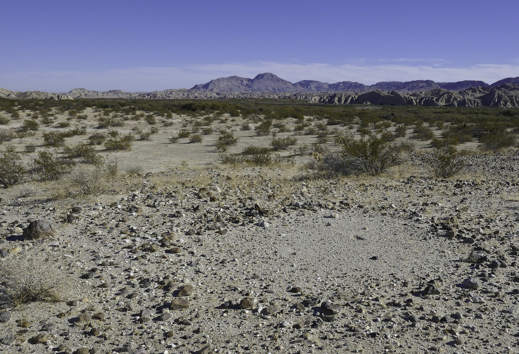 Cleared Circle by tomteske, on Flickr Cleared Circle by tomteske, on Flickr
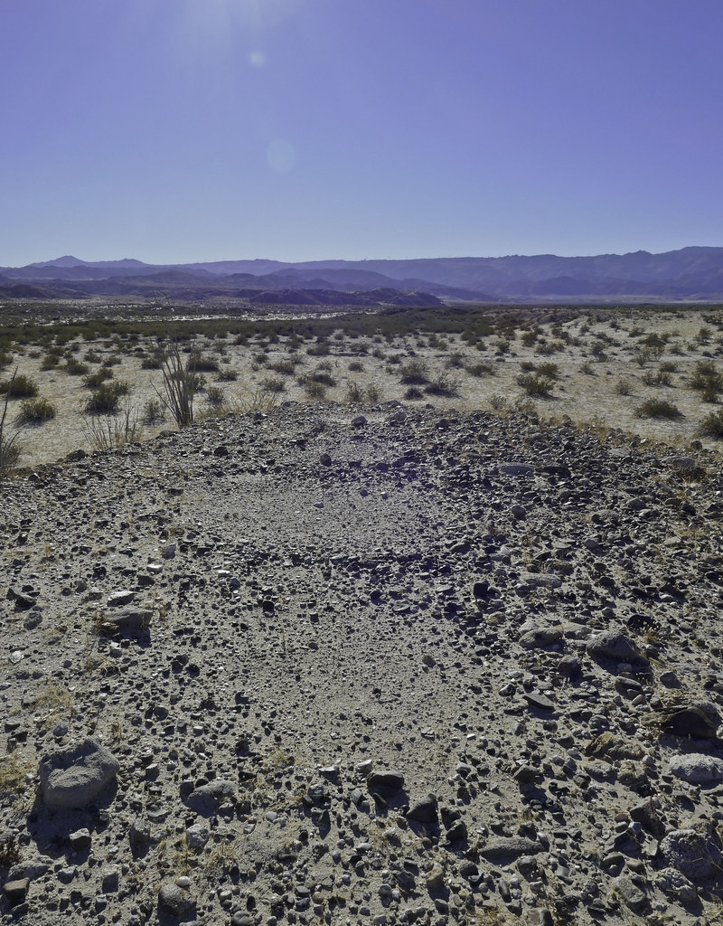 Cleared Circles by tomteske, on Flickr Cleared Circles by tomteske, on Flickr
Headed north and made it to BM LOST. One set of recent foot prints was spotted but no register. Here is the view from LOST looking southeast.
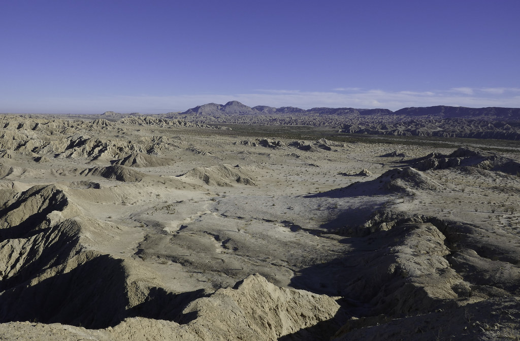 View from BM LOST by tomteske, on Flickr View from BM LOST by tomteske, on Flickr
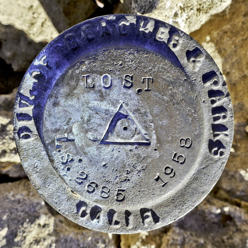 BM LOST by tomteske, on Flickr BM LOST by tomteske, on Flickr
Here's the view toward the next stop, South Mesa. Just need to find a suitable finger to ascend.
 To the North From BM LOST by tomteske, on Flickr To the North From BM LOST by tomteske, on Flickr
Wind carved statuettes.
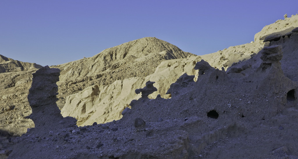 Statuettes by tomteske, on Flickr Statuettes by tomteske, on Flickr
Finally on top without too much difficulty.
 North of BM LOST by tomteske, on Flickr North of BM LOST by tomteske, on Flickr
Wouldn't say South Mesa is the most picturesque site in Anza Borrego, but it does have some funky stuff.
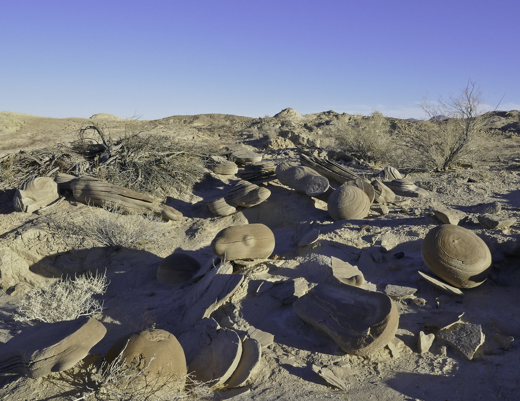 Concretions by tomteske, on Flickr Concretions by tomteske, on Flickr
Dropped into a tributary of Gert Wash and headed toward a possible old trail spotted on GE. Walked right by BM Gert but forgot to add its location to my gps so maybe next time. Found this this little guy. Feather pattern is kinda neat close up. I know one of you knows what kind of bird this is.
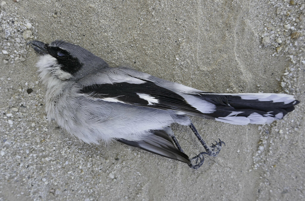 Fallen by tomteske, on Flickr Fallen by tomteske, on Flickr
 Plumage by tomteske, on Flickr Plumage by tomteske, on Flickr
Due to my usual late start times, was getting late in the day when I finally came across the trail and still only about half done with the trip.
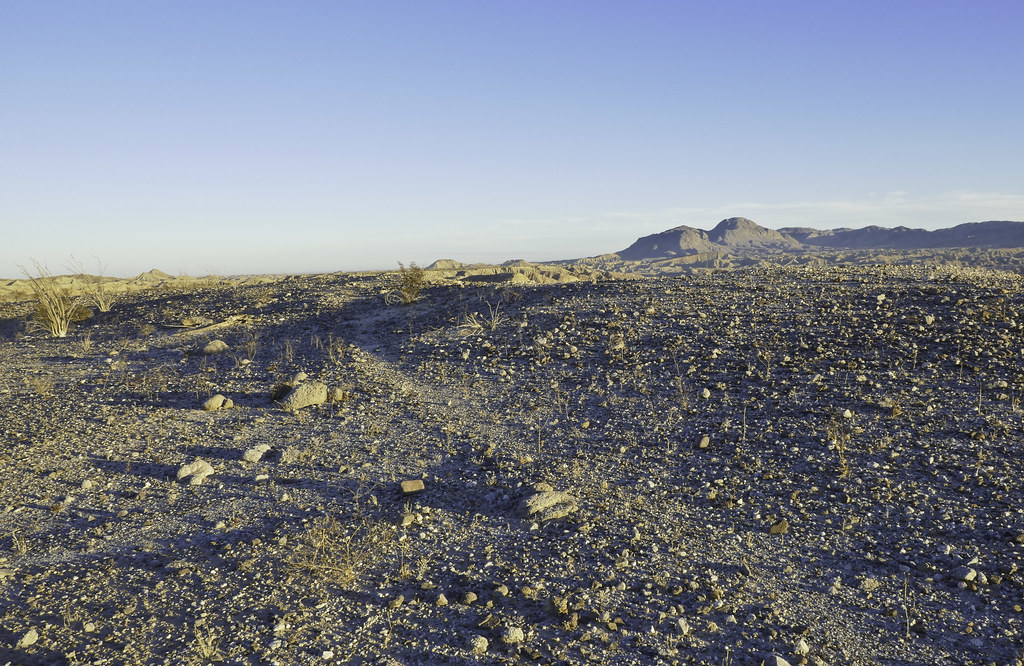 Ancient Trail by tomteske, on Flickr Ancient Trail by tomteske, on Flickr
Before a sketchy washed out segment, what appears to be a trail cairn
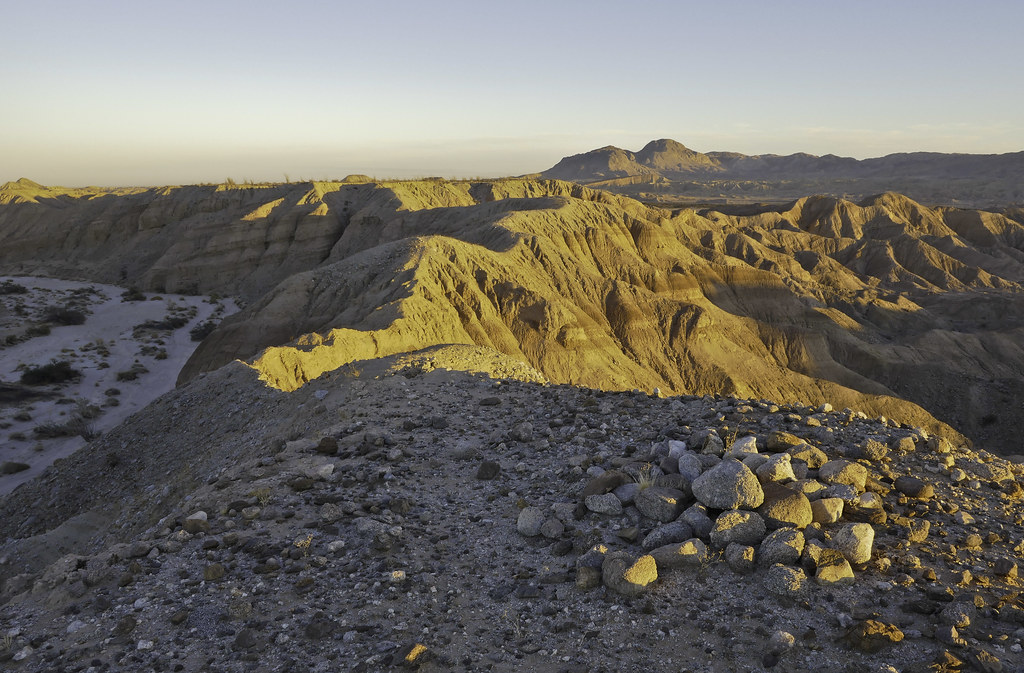 Trail Cairn by tomteske, on Flickr Trail Cairn by tomteske, on Flickr
Came across a nice rock circle but it was right next to a rock square with some sort of cairns on one side, all being kinda weird.
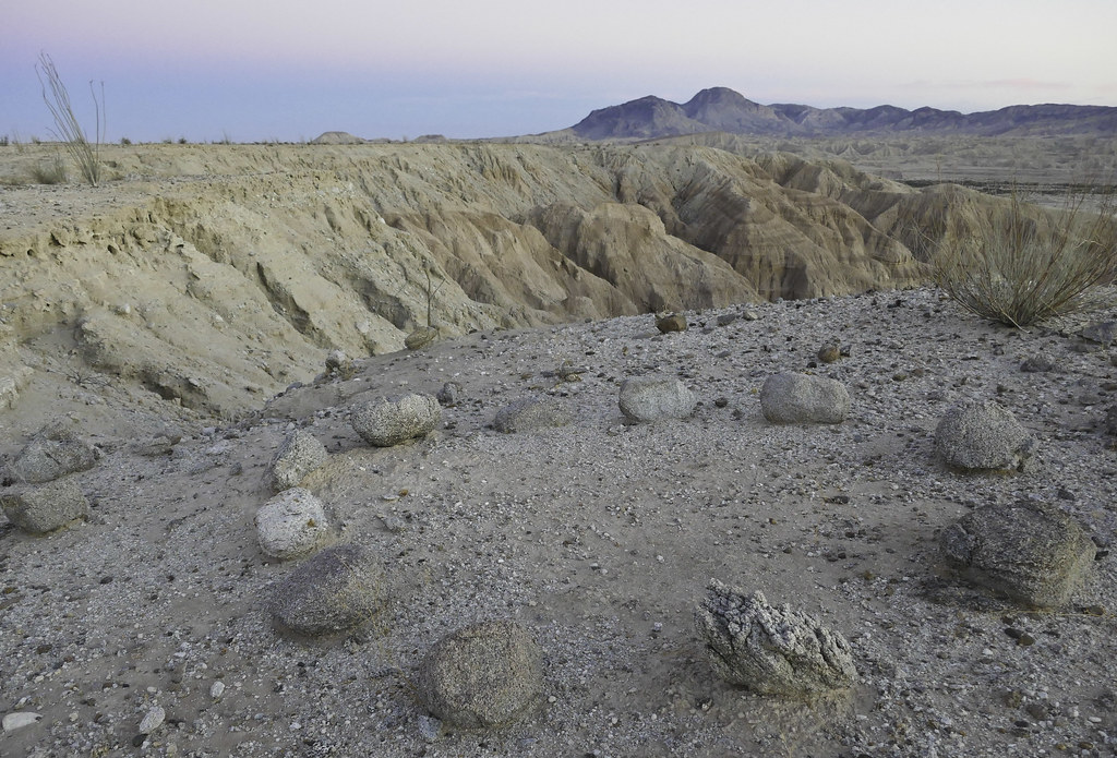 Rock Circle by tomteske, on Flickr Rock Circle by tomteske, on Flickr
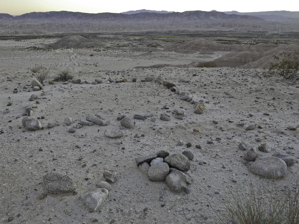 Rock Square by tomteske, on Flickr Rock Square by tomteske, on Flickr
On a previous trip out here ( http://www.anzaborrego.net/anzaborrego/forum/topic948-carrizo-badlands.aspx ), I had found this rock square and assumed it was for an old miner's tent.
 Southern Square by tomteske, on Flickr Southern Square by tomteske, on Flickr
Started thinking about it and remembered I'd spotted another similar rock square on GE miles to the north and wondered if they were related. Drew a NS line through the three and they all were exactly on it. Looked carefully up and down the line and found four more rock squares exactly on the same line. The line extended a little more than four miles and was slightly inside the CIA. Presumably it provided some sort of guidance for aircraft but the small 10 ft X 10 ft squares are difficult to see and possibly they had other enhancements that has since been removed.
 Seven Squares by tomteske, on Flickr Seven Squares by tomteske, on Flickr
Headed back in the dark and followed the Overland Stage Route most of the way. Can't really comment too much on what the marsh looked like but there is some standing water although not too appealing!
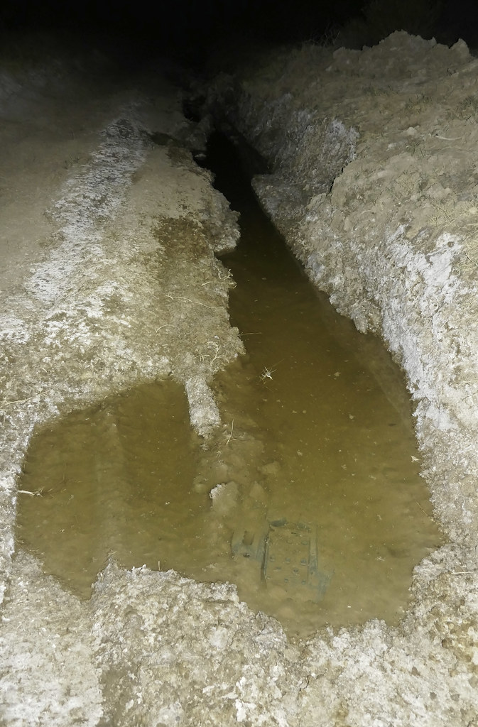 Carrizo Creek by tomteske, on Flickr Carrizo Creek by tomteske, on Flickr
The barrier fence is up but no signage.
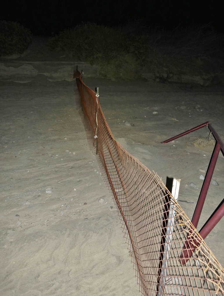 The Fence by tomteske, on Flickr The Fence by tomteske, on Flickr
About 14 miles total and another fun trip in the desert. Enjoy. Tom
edited by tommy750 on 12/29/2017 |
12/29/2017
Topic:
Carrizo Creek, BM LOST and South Mesa
tommy750
|
Britain wrote:
That marsh has sort of dried up recently. There was a fire in the area, happened by and some folks were doing some reclaim. Guess the areas closed now. Need to revisit the area. Thanks for sharing.
Edit: So that was a planned burn ?
edited by Britain on 12/29/2017
Here's something from Helix, the company hired by Pattern Energy to plan the mitigation, regarding the prescribed burns. Think most of it is completed. Was dark and couldn't really get a feel for what was changed since the last time out.
 Carrizo Marsh Mitigation.pdf by tomteske, on Flickr Carrizo Marsh Mitigation.pdf by tomteske, on Flickr
edited by tommy750 on 12/29/2017 |
12/31/2017
Topic:
Your Go To AB Book?
tommy750
|
The new edition of Lindsay's book is out.
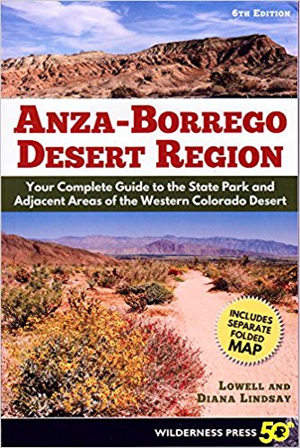 AB by tomteske, on Flickr AB by tomteske, on Flickr
https://www.amazon.com/Anza-Borrego-Desert-Region-Complete/dp/0899977790/ref=sr_1_1?s=books&ie=UTF8&qid=1514770620&sr=1-1&keywords=anza+borrego+guidebook |
12/31/2017
Topic:
Carrizo Creek, BM LOST and South Mesa
tommy750
|
rockhopper wrote:
Looks like perfect weather for desert exploring. Thanks for the trip report and good investigation of the "squares" alignment.
Was indeed nice weather. The squares were an unexpected find which is not super uncommon on GE. Right next to one of them, I noticed this weird vehicle sized anomoly in Deguynos Canyon. It shows up in 2012, is gone by 2014 and reappears 1/4 mile downstream by 10/2016 and remains in the same place in 6/2017. Someone must know what it is since there appears to be lots of tracks up that wash on all the satellite images.
 5-27-12 Overview by tomteske, on Flickr 5-27-12 Overview by tomteske, on Flickr
 5-27-12 by tomteske, on Flickr 5-27-12 by tomteske, on Flickr
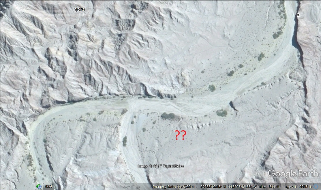 11-8-14 Overview by tomteske, on Flickr 11-8-14 Overview by tomteske, on Flickr
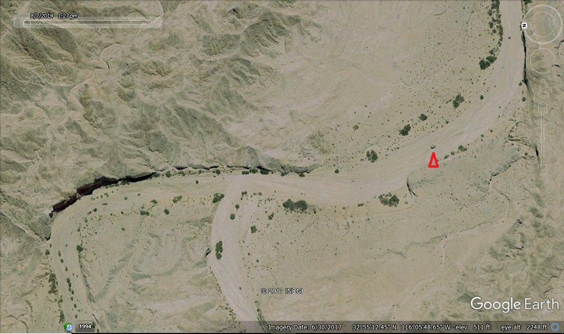 6-30-17 Overview by tomteske, on Flickr 6-30-17 Overview by tomteske, on Flickr
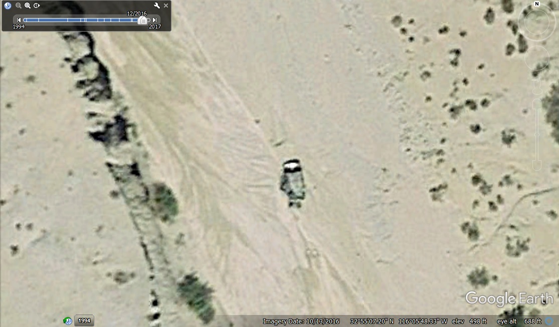 10-13-16 by tomteske, on Flickr 10-13-16 by tomteske, on Flickr
Yeah, I spend a lot of time on GE  |
12/31/2017
Topic:
Carrizo Creek, BM LOST and South Mesa
tommy750
|
Britain wrote:
Someone dragging it around?
I was thinking Mother Nature but who knows. |
1/2/2018
Topic:
Your Go To AB Book?
tommy750
|
Rocko1 wrote:
tommy750 wrote:
The new edition of Lindsay's book is out.
Did you get this yet? Any major changes? I love the info but the format of the book for me is horrible. I wish it followed the Afoot and Afield style.
edited by Rocko1 on 1/2/2018
I ordered it but haven't got it yet. $14.55 on amazon. Agree, not a big fan of the mileage while driving on a road format of travel guides. |
1/3/2018
Topic:
Carrizo Creek, BM LOST and South Mesa
tommy750
|
ziphius wrote:
Nice detective work on the squares Tom. Thinking the rectangular object is a vehicle that got move around by flash floods? Dead bird is a loggerhead shrike. They are quite uncommon, yet I found a pristine dead one in Inner Pasture a few years ago.
Thanks for the bird info, ziphius. That Deygunos object looks like a vehicle but not sure where it went during that one satellite pass. |
1/7/2018
Topic:
Rockhouse, Jacumba Jim, Four Frogs and East Fork
tommy750
|
Britain wrote:
Took my wife up Jacumba Jims today. Theres twice the amount of water in that spring from a month ago. Hasn't been any rain so to speak.
That’s good news. Thanks. |
1/8/2018
Topic:
Carrizo Creek, BM LOST and South Mesa
tommy750
|
tekewin wrote:
This was a cool trip. The area around Lost BM looks very interesting. I scanned caltopo around Bow Willow Creek but didn't see Lost on the map. I might have been looking in the wrong place. I noticed the benchmark was placed by the Division of Beaches and Parks. I just saw one of the those marks on top of Sombrero. I guess all of Anza-Borrego is a state park, it's just odd to find those markers in the remote desert.
BM Lost is about 1.2 miles north of where Canyon Sin Nombre dumps into Carrizo Creek. Easy hike and nice views. The only other named BMs I know of out in that area are Pelvis, Valle, Leckie and Gert.
https://www.ngs.noaa.gov/CORS-Proxy/NGSDataExplorer/ is a good source of info on BMs and I use it all the time |
1/11/2018
Topic:
Carrizo Badlands
tommy750
|
Thanks for the info, Britain. Tom |
1/15/2018
Topic:
More Impossible RR News
tommy750
|
dsefcik wrote:
http://www.sandiegouniontribune.com/news/environment/sd-me-desert-line-20171221-story.html

"...freight running from Tijuana to Plaster City by 2020." Sounds legit to me! |
1/15/2018
Topic:
Carrizo Gorge East Side
tommy750
|
Yeah, nice overnight trip. Think those booze bottles were stealthy mouse traps. Able to squeeze in but too slippery to get out. Those tunnel bypass roads seem to be especially attractive to chollas for some reason. Here's a couple more pics:
 DSN Point2 by tomteske, on Flickr DSN Point2 by tomteske, on Flickr
 Sheep Bones by tomteske, on Flickr Sheep Bones by tomteske, on Flickr
 Above the Rail by tomteske, on Flickr Above the Rail by tomteske, on Flickr |
1/16/2018
Topic:
Carrizo Creek, BM LOST and South Mesa
tommy750
|
Britain wrote:
Went in and tagged the Lost BM. Had the great idea of preplanning on cutting through the badland area east of that marker. Go get Gert and see two of the rock squares. Well, the badlands won. Spent 4 hrs in it. Found another Park BM, a pole on top of a high narrow ridge with no way of getting up to it, possible a Geocache. I think if I had my rock hammer at one area a few step hold and I could of went up to the next mesa. They certainly took a swipe at that tamarack. Burned through the center Carrizo, also looks like heavy equipment went in a cut up a bunch. There's plenty more left to be torched.
Would have to agree, east of BM Lost definitely puts the bad in badlands. I climbed up to South Mesa and then followed the NE drainage into Gert and followed that due east bypassing all the fun  |
1/18/2018
Topic:
Carrizo Gorge East Side
tommy750
|
DHeuschele wrote:
I saw a lantern last year that had maybe 20 dead lizards in it (I do not think I took a picture). Apparently the lizards had no problem finding their way into it but could not find their way out.
I did a 12 day backpack in NM in late summer. One of the boys found a spear head that was in similar shape to that arrow head (both are in near the shape at the time of the creation). I did shoot a photo of the spear head as it was special because I have not personally found a spear head and it was in great condition. You found a very nice arrow head.
Those darn predator traps! Have rescued a couple snakes and lizards from some in the past. Finding points these days is always nice since most have already walked away. Spear points/darts are an especially nice find. |
1/18/2018
Topic:
Interesting oddity in the Carrizo Creek Badlands.
tommy750
|
Not a geologist, but doesn't look like the most promising prospect! |
1/19/2018
Topic:
Interesting oddity in the Carrizo Creek Badlands.
tommy750
|
Awesome pic! |
1/25/2018
Topic:
Carrizo Badlands
tommy750
|
Britain wrote:
Looks like we took the same route, some of your pictures look like mine. Couple questions. Have you ever came across a rock-cement monument about 4 ft high with a plaque Carrizo Stage station on it? There was one in the area in 2000. If I remember correctly its not near the real station. Also there's another structure I spotted. Would this be McCains place? Have you seen it? It is located about 1000ft west and slightly south of the real station. EDIT: shack does not appear on earlier GE images.
Haven't seen the monument and not sure where it might be. The old Graves cabin's roof collapsed some time ago and a new roof was placed over it in the last year or so presumably to protect this historical site. You can see a fair amount of junk was also removed at the same time if you blink between the last couple GE images. Tom |
2/6/2018
Topic:
Salton Sea Naval Base
tommy750
|
Did someone say "great photos"?? Maybe referring to my post here: http://www.anzaborrego.net/anzaborrego/Forum/topic520-indio-fish-traps-and-sstb.aspx  |
2/12/2018
Topic:
Pyramid-Villager Loop
tommy750
|
Nice trip, Tekewin. Great pics as well. Have climbed exactly zero of those peaks so need to get busy. |
2/19/2018
Topic:
Carrizo Gorge East Side
tommy750
|
Nice find, Daren. |
4/1/2018
Topic:
McCain / Canebrake 4 day Backpack
tommy750
|
Nice trip. Where did you guys start your hike? Cottonwood or farther south? You all camoed out and Gary wearing teal. Nice  |
4/1/2018
Topic:
Canyon west of Moan
tommy750
|
Daren and I were out there 1/6-7/18 ( http://www.anzaborrego.net/anzaborrego/Forum/topic1355-carrizo-gorge-east-side.aspx ) so we could have left some of the prints you saw. Like that area. Thanks for posting. Tom |
4/5/2018
Topic:
Yuha basin petrified wood
tommy750
|
Not a geologist but what I'm seeing looks more like concretions. They're quite common all through ABDSP and surrounding areas and at times can sure look like petrified wood or bone. Yuha has pretty much been devastated by off roaders over the decades including the Yuha geoglyphs, trashed by some dirt bikers in the mid '70s. Jay von Werlhof tried to piece them back together but they're nothing like the old aerial photos. There's still a couple nice ones out there semi protected by their fencing and findable on GE.
edited by tommy750 on 4/5/2018 |
4/8/2018
Topic:
Santa Rosa Mtns. 3 Day backpack
tommy750
|
Looks like a great trip Rockhopper. Nice petro find. I'm with Daren on the pack weight. I get cranky with anything over 30lbs  |
4/8/2018
Topic:
Yuha basin petrified wood
tommy750
|
Thanks for the Yuha Man link. Interesting story. The bones disappeared and have never been found. However, a few tiny fragments were recovered and dated to a later time. A hearth dated to 9000 BP was uncovered a few years back near Jacumba so aboriginals have been around the Colorado Desert for some time. |
4/8/2018
Topic:
The Potrero Day Hike
tommy750
|
Have done a few hike in the past couple years to the Sawtooth Mountains looking for a "lost" archeological site. No luck so far but always great hiking in the desert. Was planning an overnight out there with Daren et al but other plans/weather intervened and ended up on a day hike. Parked at the equestrian staging area by Vallecito and paid my $3 and headed toward Potrero. Lots of old ranching and farming stuff along the way.
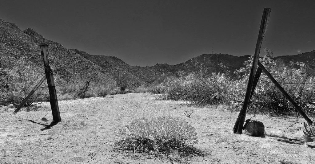 Potrero by tomteske, on Flickr Potrero by tomteske, on Flickr
About six miles in is a nice water source and still producing.
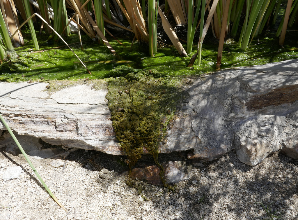 Full by tomteske, on Flickr Full by tomteske, on Flickr
Hiked up to the saddle between Canebrake and Potrero. Was bushwhacking up to the saddle till I found an immigrant/game trail. Lots of old cans in a couple places.
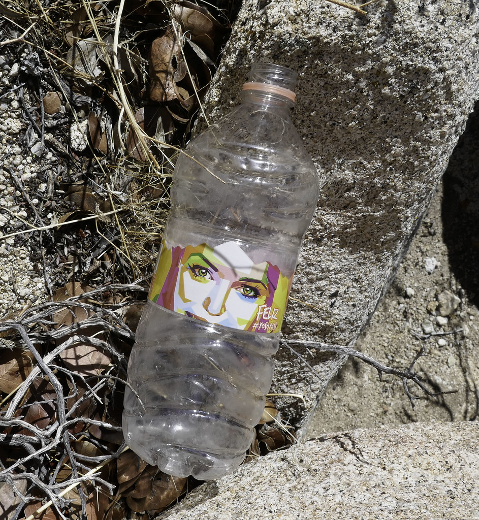 Feliz by tomteske, on Flickr Feliz by tomteske, on Flickr
 Well Worn by tomteske, on Flickr Well Worn by tomteske, on Flickr
Nice views on top with a constant 25-30 mph breeze. This is toward Pepperwood Canyon on the far side of Canebrake.
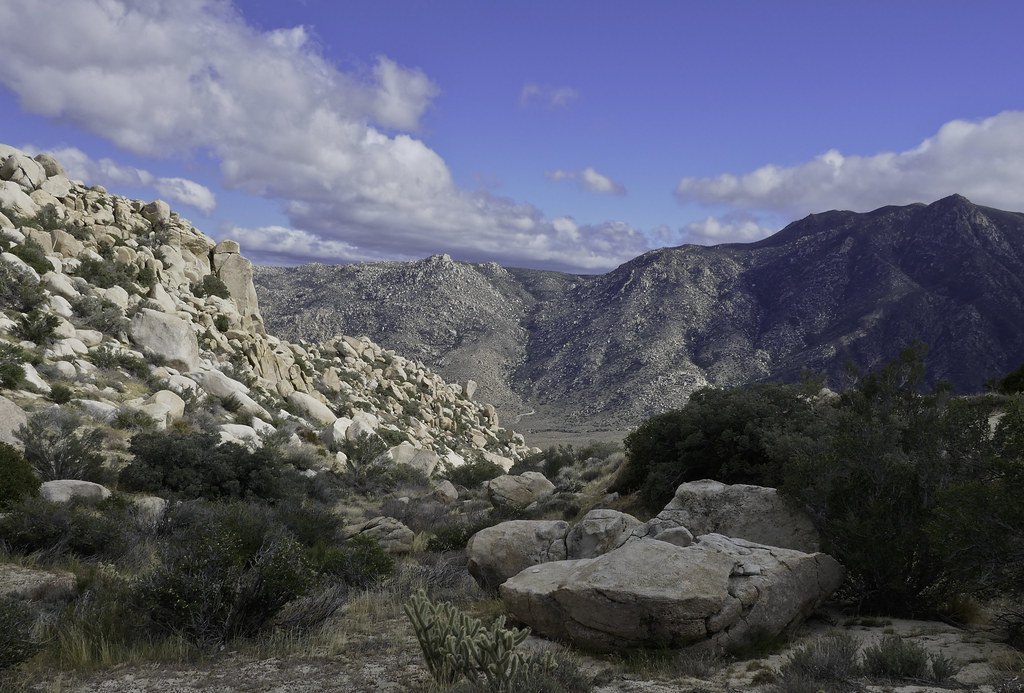 Toward Pepperwood by tomteske, on Flickr Toward Pepperwood by tomteske, on Flickr
Toward the Lagunas.
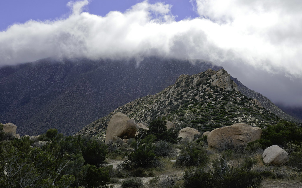 South of Saddle by tomteske, on Flickr South of Saddle by tomteske, on Flickr
Found a rock shelter on the very top of the saddle with a bunch of prayer sticks.
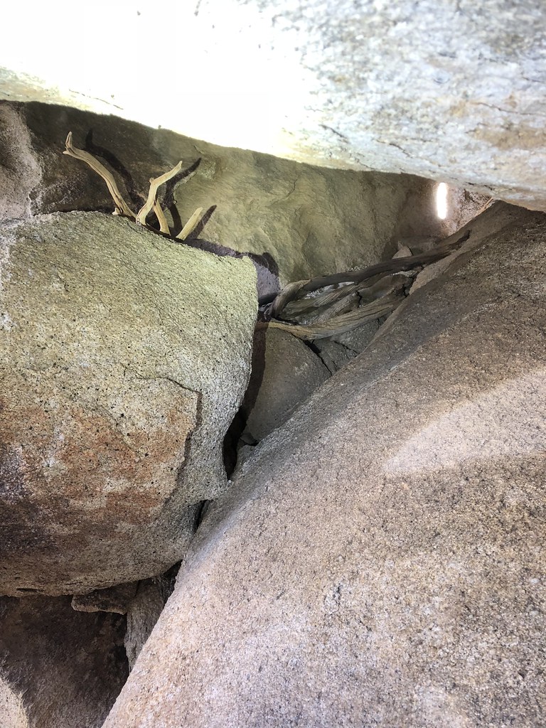 Prayer Sticks by tomteske, on Flickr Prayer Sticks by tomteske, on Flickr
Almost stepped on this guy near the top. Didn't move at all.
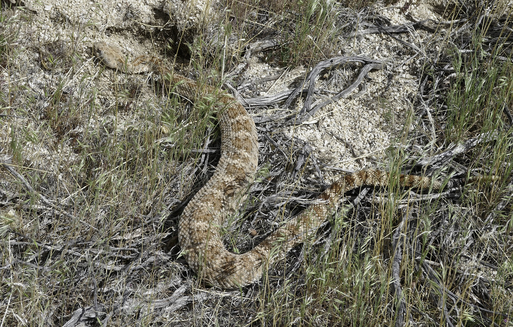 Western Diamondback by tomteske, on Flickr Western Diamondback by tomteske, on Flickr
Nice views of Potrero/Vallecito on the way down.
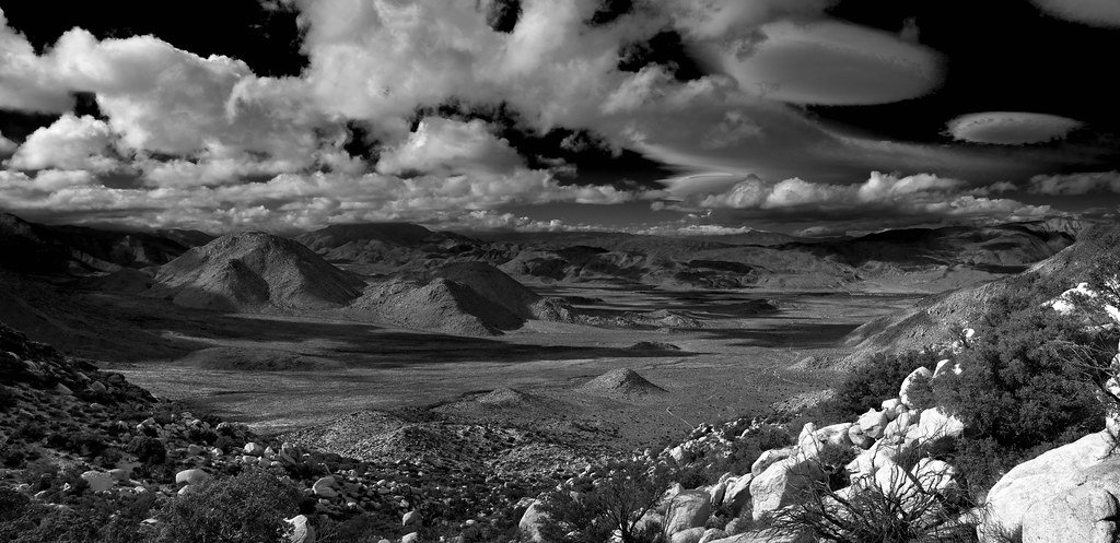 Potrero Pano by tomteske, on Flickr Potrero Pano by tomteske, on Flickr
Have found a few moteros in the area interestingly ringed with cupules. Kinda hard to see in this pic.
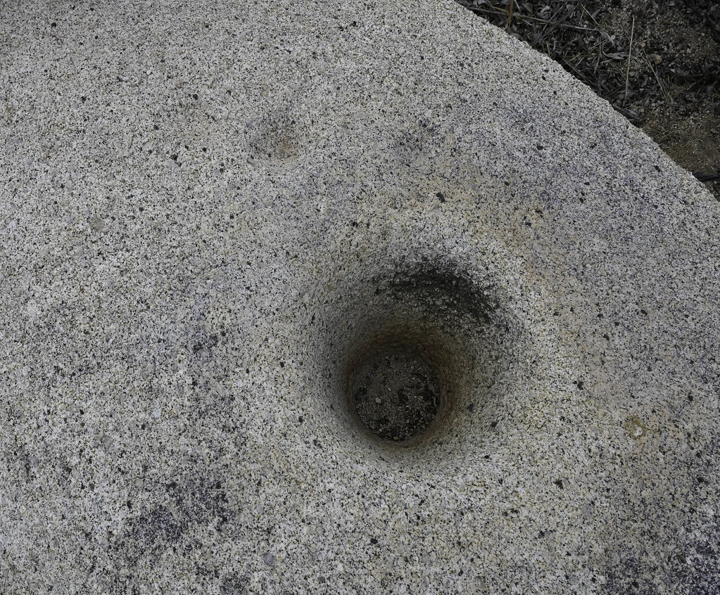 Mortero with Cupules by tomteske, on Flickr Mortero with Cupules by tomteske, on Flickr
Another nearby one from a previous hike.
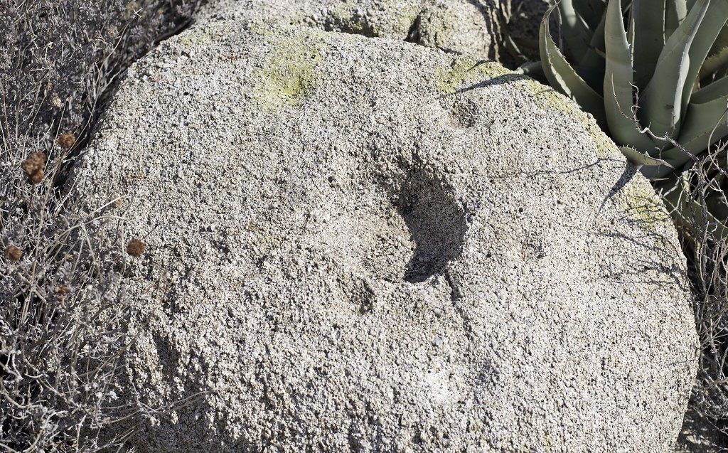 Cupule Rock by tomteske, on Flickr Cupule Rock by tomteske, on Flickr
Walked in the dark a couple miles on the way back till turning my headlamp on a few minutes before stumbling into this guy. This guy was also pretty lethargic. Both snakes look pretty well fed. Saw lots of kangaroo rats jumping around so they certainly have lots of food.
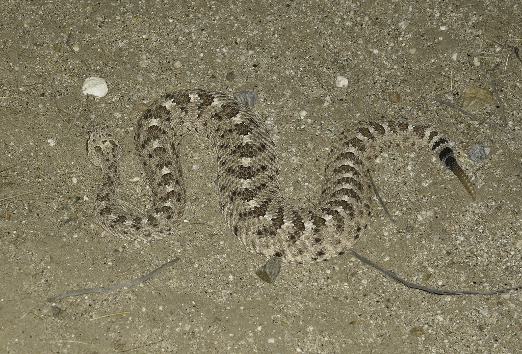 Sidewinder by tomteske, on Flickr Sidewinder by tomteske, on Flickr
Couple more critters before I made it back. Brought 5L and used 4.5. 16.5 miles and 2800ft g/l and another great day in the desert. Enjoy. Tom
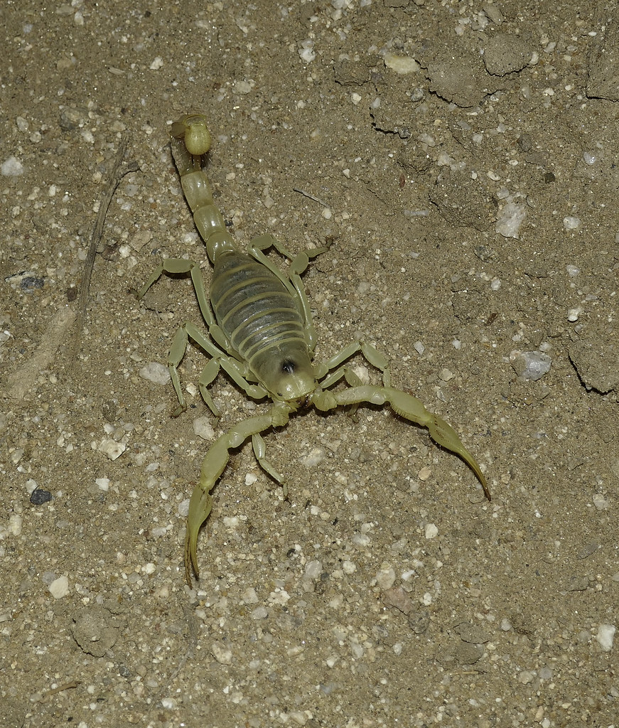 Scorpion by tomteske, on Flickr Scorpion by tomteske, on Flickr
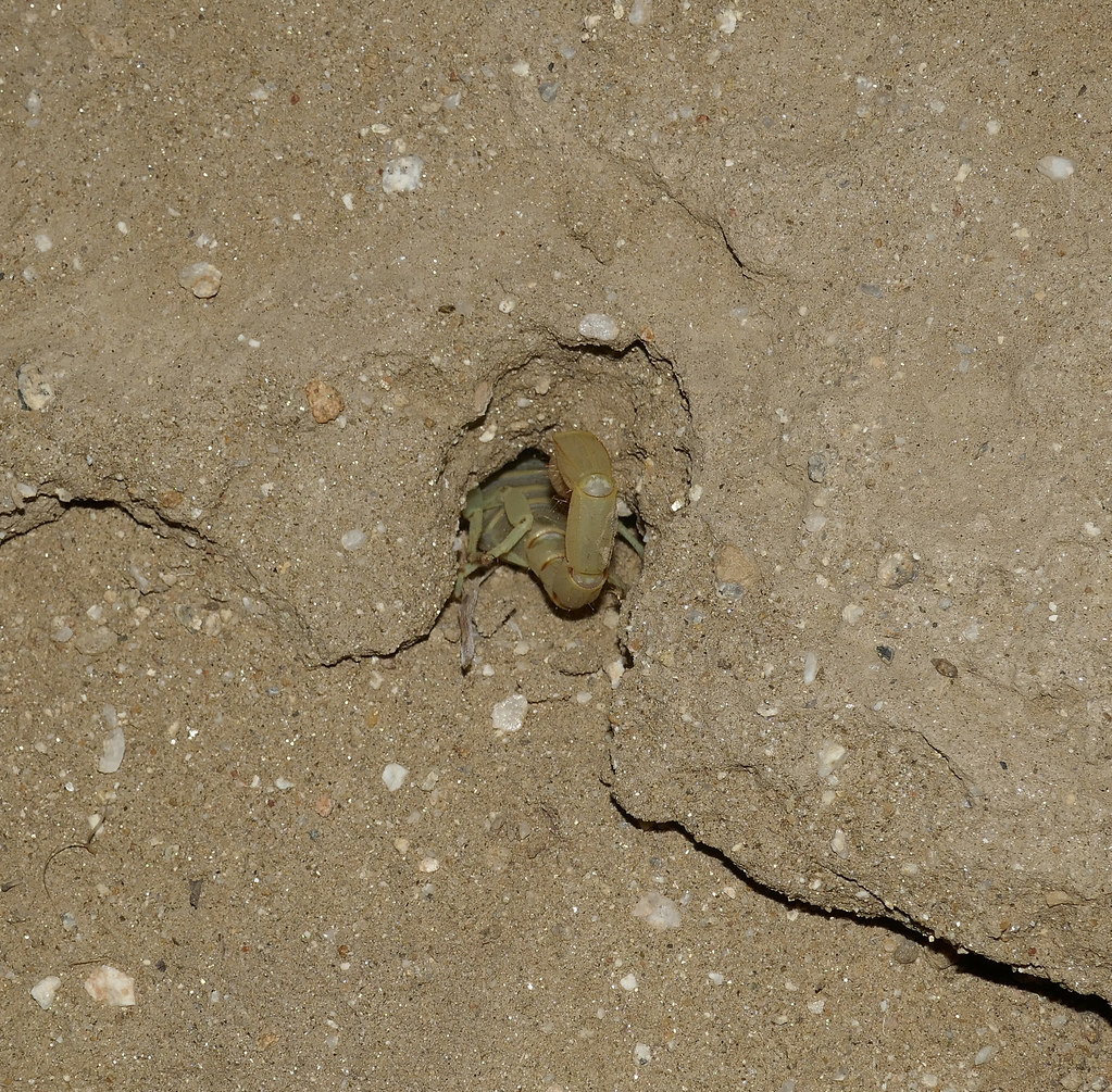 Going Home by tomteske, on Flickr Going Home by tomteske, on Flickr
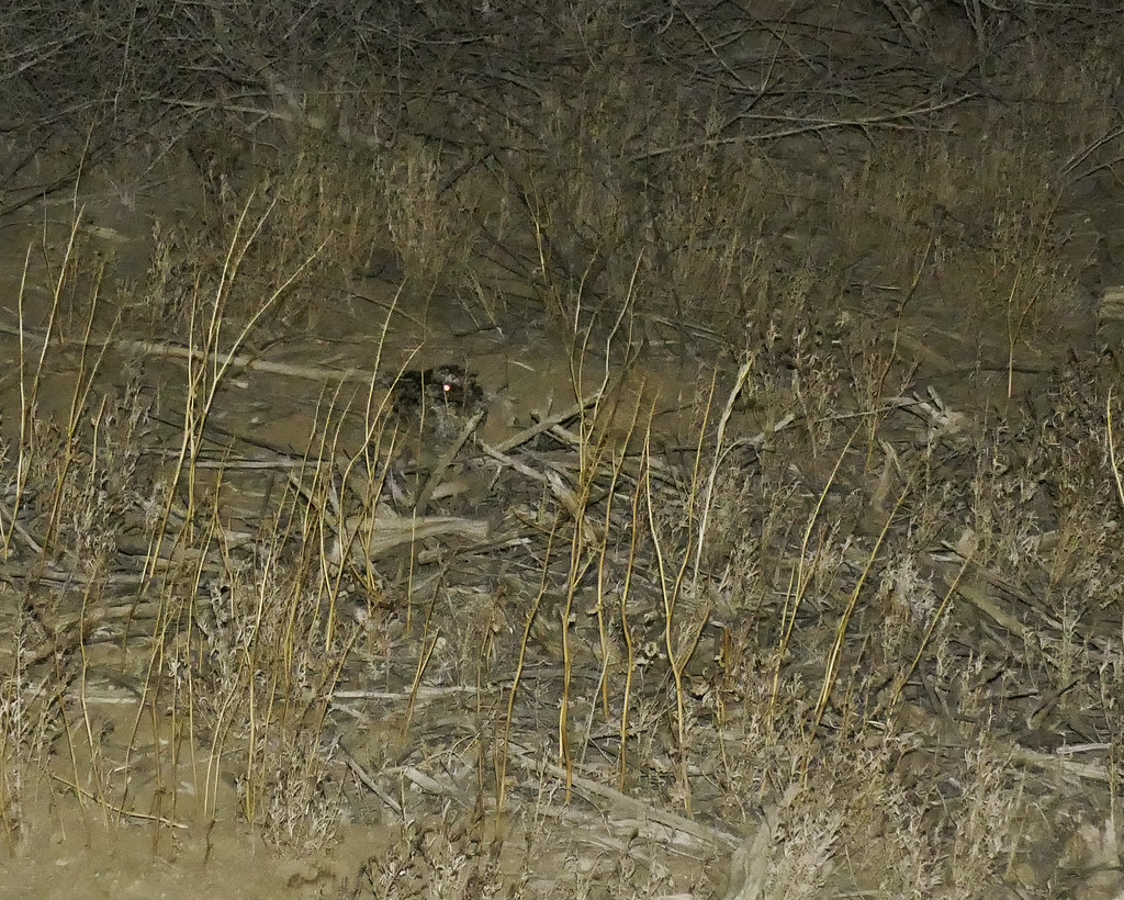 Owl by tomteske, on Flickr Owl by tomteske, on Flickr
edited by tommy750 on 4/8/2018
edited by tommy750 on 4/8/2018
edited by tommy750 on 4/8/2018 |
4/8/2018
Topic:
The Potrero Day Hike
tommy750
|
ziphius wrote:
Nice photos Tommy. It is impressive how that saddle between Canebrake and Vallecito is so hard-used, but it makes sense along the Pepperwood route. I've been up and over that a couple of times now but never ran into the prayer-stick cave. One of my favorite views looking north in the Potrero from that saddle. That last photo looks odd for an owl - I want to say it is a whippoorwill or nighthawk, but it's hard to tell from the photo. Nice trip / photos as always. - Jim
Owl was the only thing I could think of Jim. Have no idea what it was. Thanks! |
4/8/2018
Topic:
The Potrero Day Hike
tommy750
|
dsefcik wrote:
Love the snake/scorpion photos...sorry I could not join you....lets do another trip soon with an over nighter...I'll bring the marshmallows and Art Bell entertainment....
S'mores! That sounds like a plan. |
4/10/2018
Topic:
The Potrero Day Hike
tommy750
|
tekewin wrote:
Double rattlesnakes! And a scorpion bonus. What a great day. I still have about zero knowledge of native american artifacts, so the shelter with prayer sticks wouldn't have even registered as anything but natural to me. I wonder how many things I've walked by and didn't appreciate. Thanks for the great report.
Well, Tekewin, you at the right place! Never paid any attention to cultural stuff till stumbling on this forum a few years back. Kudos to all the posters who expend the time and energy to educate the rest of us. |
4/10/2018
Topic:
The Potrero Day Hike
tommy750
|
Britain wrote:
Nice photos. Second snake didnt look like a red. This is one area I would like to visit. Have noticed that the ticks are pretty active this year.
I'm guessing the first snake was a Western Diamondback and the second was a Sidewinder but I though that bird was a burrowing owl so... Not really sure how to tell a Western from a Red since the Western can kind of look a little reddish I hear. Any thoughts?
Didn't get any ticks but it was really windy when I got into brush if that matters. |
4/10/2018
Topic:
The Potrero Day Hike
tommy750
|
rockhopper wrote:
Excellent photography Tommy. Those rattlers look healthy. The "Lost" archeology site sound intriguing. Great trip report.
thanks for posting.
Supposedly there's a lost cave out somewhere in the Sawtooth Mts. Have made four trips so far and found only about three pieces of pottery but had fun doing it. Pretty confident "Plan E" is going to bring success  |
4/16/2018
Topic:
Sunset Mountain
tommy750
|
Great views from up there, Tekewin. Only made it up to the two nearby guzzlers before crapping out a while back. Thanks for posting. Tom |
4/18/2018
Topic:
The Potrero Day Hike
tommy750
|
Unfortunately, "Plan E" was unsuccessful in finding the lost cave. The Sawtooth Mts are pretty spectacular IMHO though.
Was able to photograph a hiker who wished to remain anonymous shortly after discovering an extremely rare glass olla. An exciting moment for sure.
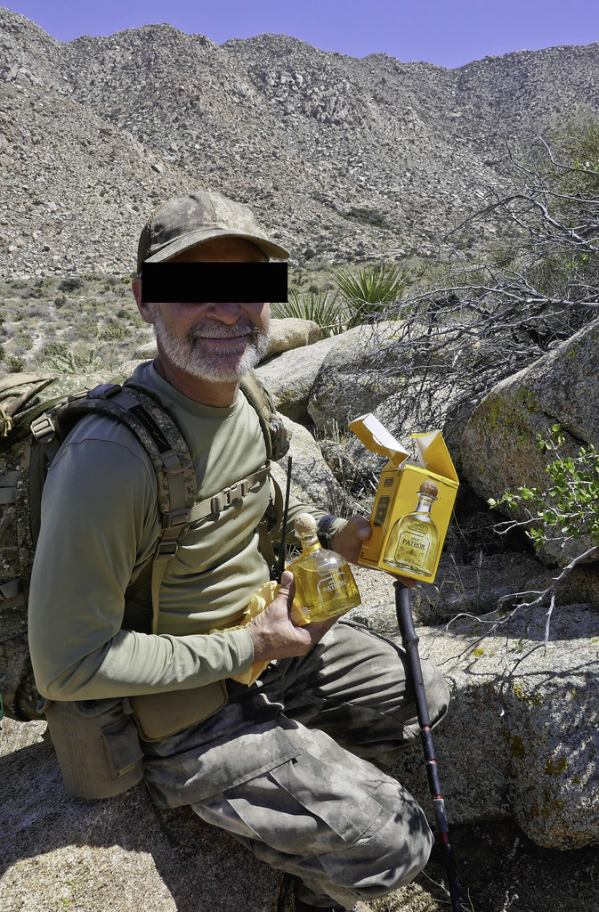 Glass Olla by tomteske, on Flickr Glass Olla by tomteske, on Flickr
Overlooking Canebrake.
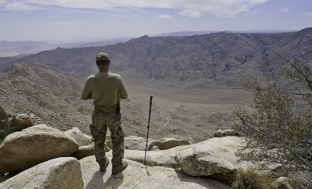 Daren on the Sawtooth Spine by tomteske, on Flickr Daren on the Sawtooth Spine by tomteske, on Flickr
On the spine of the Sawtooth Mts.
 Sawtooth Spine Slot by tomteske, on Flickr Sawtooth Spine Slot by tomteske, on Flickr |
4/19/2018
Topic:
The Potrero Day Hike
tommy750
|
Britain wrote:
Patron good find. I'm still looking for some !
I think Daren, uh, I mean an unknown hiker, has a nose for fine tequila  |
5/1/2018
Topic:
McCain Valley
tommy750
|
Ah yes, the North American Packrat Midden Database. Who hasn't used that?  I noticed there's no entries in the NAPMD from our area which is really weird. I noticed there's no entries in the NAPMD from our area which is really weird.
Here's a couple more pics:
Daren above Pepperwood Canyon south of Pepperwood Peak.
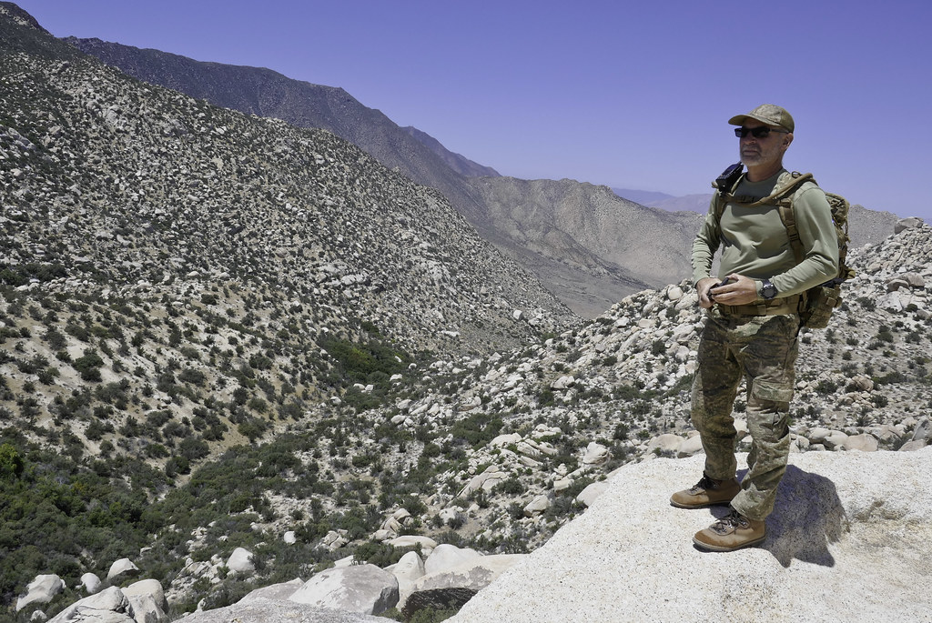 Daren Above Pepperwood Canyon by tomteske, on Flickr Daren Above Pepperwood Canyon by tomteske, on Flickr
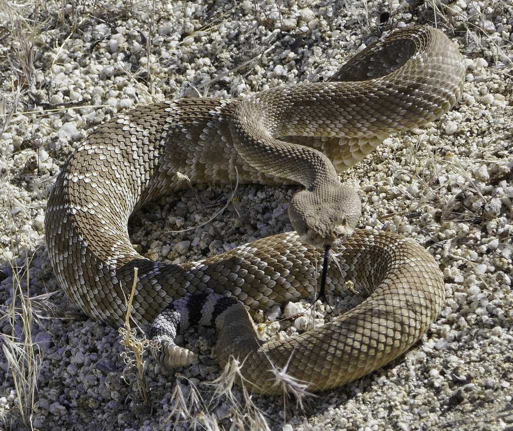
Nice Red Diamond Rattlesnake Daren almost stepped on. Britain, I was trying to figure out the difference between the Red Diamond and Western Diamondback and there appears to be some subtle difference. Think the previous Sawtooth Mt rattlesnake pic you called a Red and I named a Western Diamondback was actually a Red as you said: http://www.californiaherps.com/identification/snakesid/catroxcruber.id.html
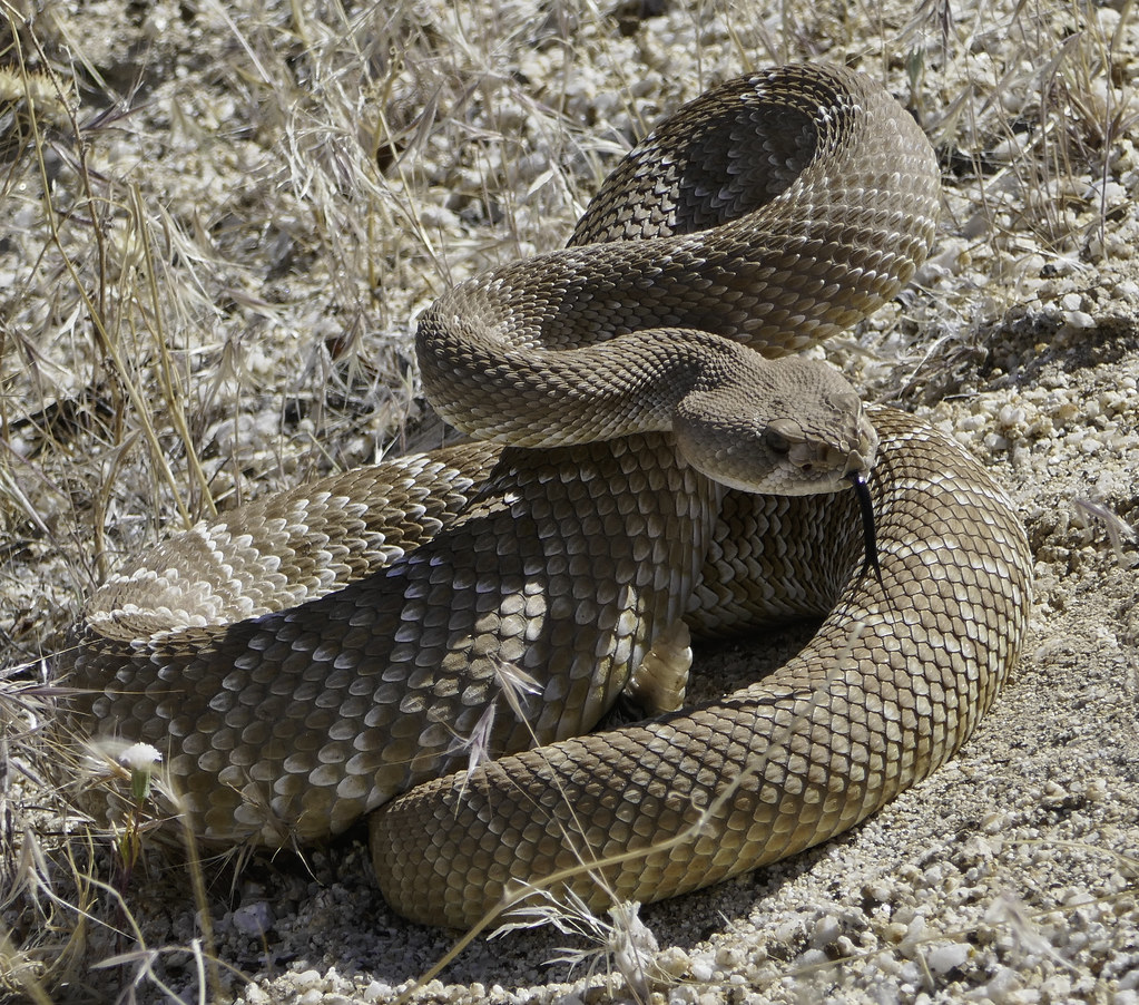 Red Diamond Rattlesnake by tomteske, on Flickr Red Diamond Rattlesnake by tomteske, on Flickr
 Red Diamond Rattlesnake2 by tomteske, on Flickr Red Diamond Rattlesnake2 by tomteske, on Flickr
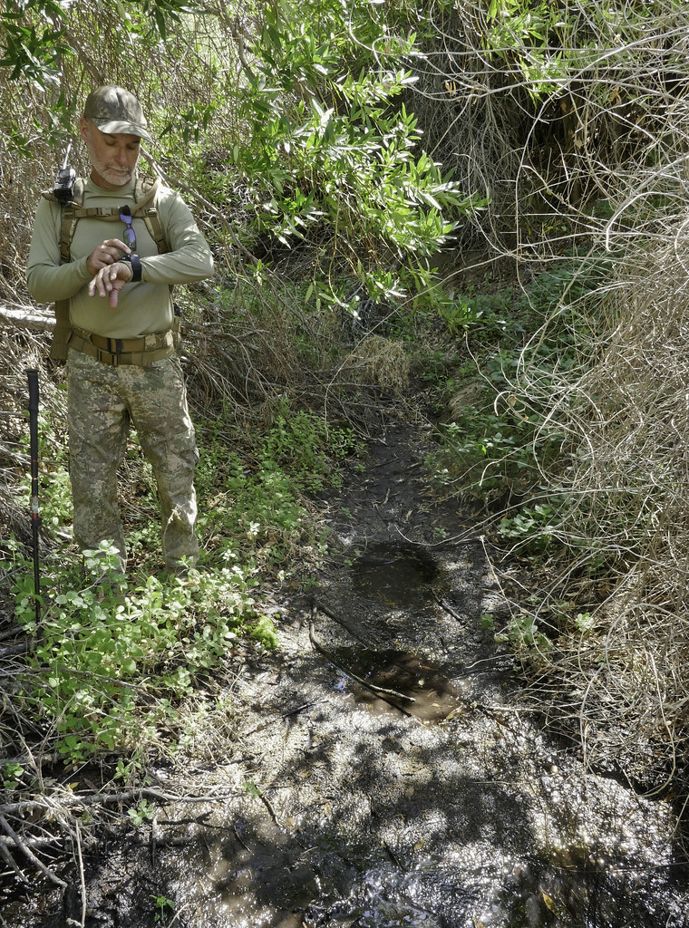
We found a nice seep near some dense foliage which might work in a pinch:
 Seep by tomteske, on Flickr Seep by tomteske, on Flickr
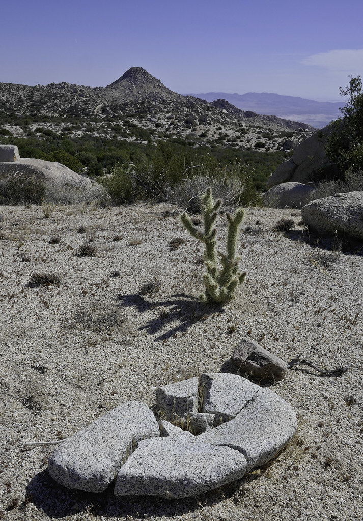
Nice metate Daren found.
 Broken Metate by tomteske, on Flickr Broken Metate by tomteske, on Flickr |
5/19/2018
Topic:
Sawtooth / Vallecito
tommy750
|
Looks like a nice trip Daren. Trail cam pointed at your campsite all night probably would have made a hilarious video. |
5/31/2018
Topic:
RHC 4 Day Backpack
tommy750
|
Looks like a great trip, Daren. That birthday note to Andrew or Olaf has me confused. |
6/17/2018
Topic:
Not enough rangers
tommy750
|
And California only has a $9 billion surplus this year. ¯\_(ツ)_/¯ |
7/8/2018
Topic:
2018 BHS Count Results
tommy750
|
Nice to see water back at Rattlesnake. Great trail cam pics, Daren. So does the park ever place temporary July 4th trail cams at the guzzlers scattered about the Vallecito and Pinyon Mts? That would seem like an easy way to improve on the total park sheep population count. Maybe even a count I could participate in  |
7/9/2018
Topic:
2018 BHS Count Results
tommy750
|
ziphius wrote:
Tommy, I met a park biologist (Jeff Manning) at this year's BHS count check-in. He noted that the park is ramping up the number of trail cameras to be deployed in the park, though he didn't address the BHS count specificially. They hope to eventually have 200+ cameras throughout the park. Jeff was interested in enlisting backcountry travelers into participating in the program (retrieve + replace batteries / SD cards). I can send you his contact info if you want. - Jim
I would be interested in volunteering for a program like that. Kudos to you all that spend your 4th out in the heat. Would be willing to help out with the count but have family commitments that make that weekend unavailable. |
9/23/2018
Topic:
North McCain Valley
tommy750
|
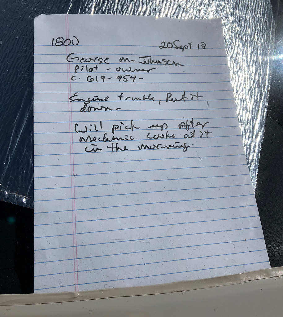
Have been stumbling around McCain Valley in the summer months since it's a tad cooler than the desert floor. Spotted this yesterday a little south of Cottonwood. Hope he makes it out okay. Always a nice vista from up there. Tom
 IMG_0567 by tomteske, on Flickr IMG_0567 by tomteske, on Flickr
 Note by tomteske, on Flickr Note by tomteske, on Flickr
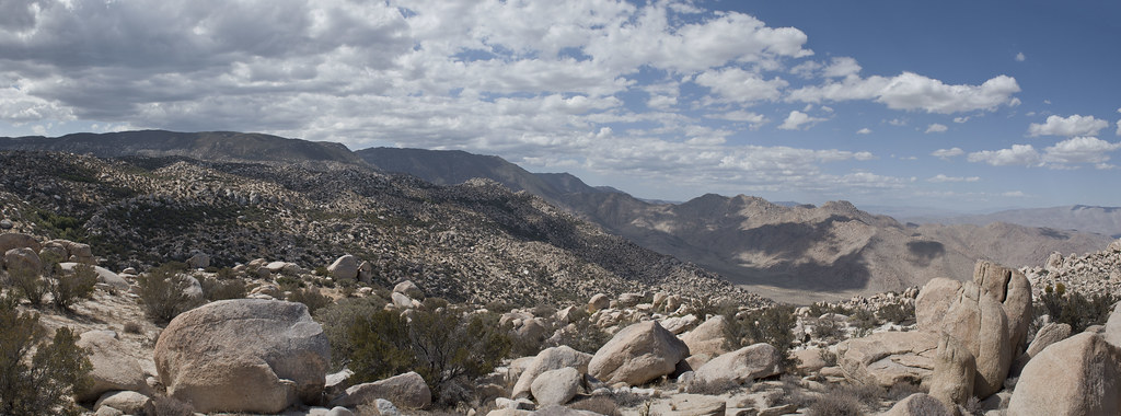 Toward Canebrake by tomteske, on Flickr Toward Canebrake by tomteske, on Flickr |
9/24/2018
Topic:
North McCain Valley
tommy750
|
ziphius wrote:
Quite the unexpected landing spot!
Agree with you there. Had a pickup and motor home parked next to it on my way out. Amazing all the stuff you can find out if you google the tail number. |
9/27/2018
Topic:
North McCain Valley
tommy750
|
ziphius wrote:
The flight tracker replay map doesn't show the unexpected landing.
Looks like he made it back on 9/24/18. This site shows his 9/21/18 route before he did his emergency landing and part of his return with the actual landing and takeoff not show: https://planefinder.net/data/aircraft/N703TK |
10/15/2018
Topic:
Photo editing software
tommy750
|
No expert, but I've always used Photoshop and Adobe Bridge. Have an old copy of CS5 before PS became subscription. Using RAW has become a speck more annoying since I now have to convert all RAW to DNG in order for Bridge to work. Planned obsolescence perhaps. RAW always gives you more options since you're not stuck starting with whatever jpeg algorithm felt was the best changes to your data. Hope that helps. |
10/15/2018
Topic:
North McCain Valley
tommy750
|
Pretty hard landing there. |
11/26/2018
Topic:
Any hurt yourself out hiking?
tommy750
|
Yikes, terrible that happened, Britain. Least you made it out. Have been lugging my Iridium 9555 around for the past ten years and have never needed it for a 911 type call but have never regretted having it. Obviously lots of new devices over that period of time including inReach. Wouldn't hesitate to recommend you carry one of them. Good luck with your recovery. Tom |
11/27/2018
Topic:
The Potrero Three Day BP
tommy750
|
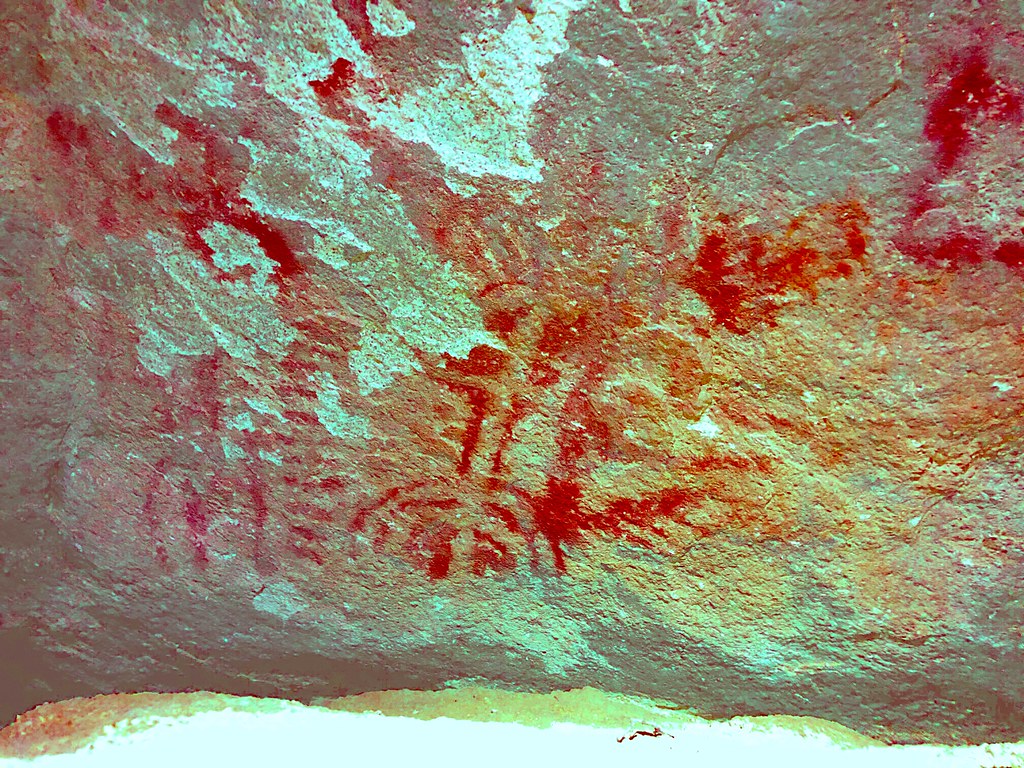
Had a three day weekend recently and was able to head out to The Potrero with Daren. Was last out with him on a five day Grand Canyon South Rim trip the month before( https://www.flickr.com/photos/tommy750/albums/72157701387945651 ). Ended up being about 34 miles and 8K gain/loss, something strenuous office work does not adequately prepare one for  This time we headed out from the equestrian parking lot off S-2 and hiked up canyon to the the circular trough about six miles in. This time we headed out from the equestrian parking lot off S-2 and hiked up canyon to the the circular trough about six miles in.
A little exploring via headlamp later that evening.
 IMG_0337 by tomteske, on Flickr IMG_0337 by tomteske, on Flickr
 IMG_0871 by tomteske, on Flickr IMG_0871 by tomteske, on Flickr
Daren getting his camping essentials organized.
 Camo Camp by tomteske, on Flickr Camo Camp by tomteske, on Flickr
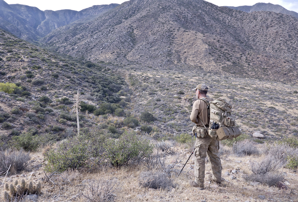
The next day we headed further up canyon encountering an old mine with surrounding rock walls. It's in the far left of the photo where Daren is looking.
 Toward The Mine by tomteske, on Flickr Toward The Mine by tomteske, on Flickr
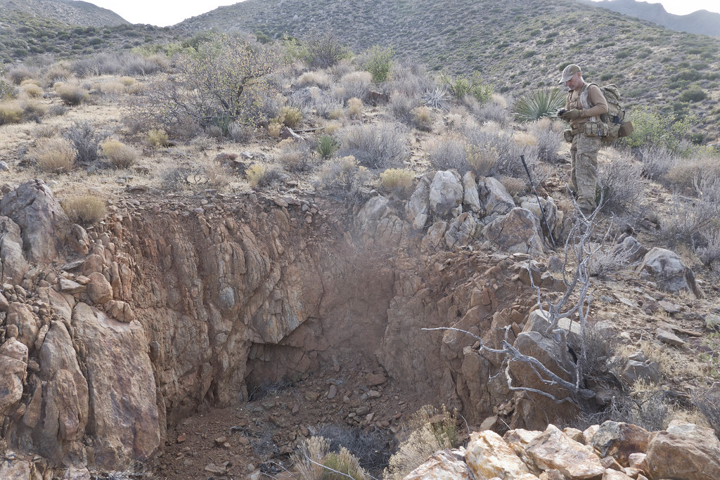
Actually looked like an adit with the entrance partially occluded.
 Adit by tomteske, on Flickr Adit by tomteske, on Flickr
Looking down canyon.
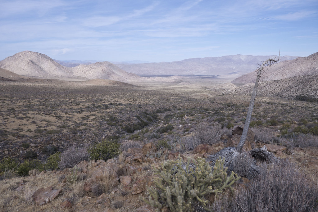 Upper Potrero by tomteske, on Flickr Upper Potrero by tomteske, on Flickr
Milling near an old spring.
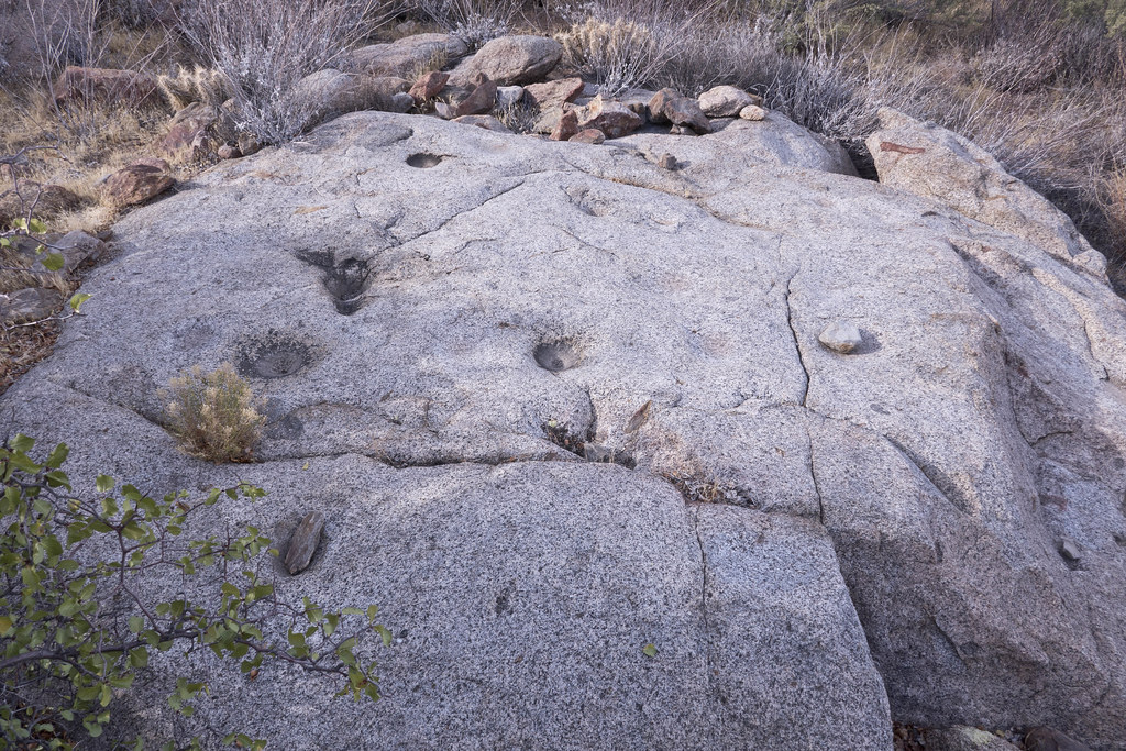 Morteros by tomteske, on Flickr Morteros by tomteske, on Flickr
Lots of the expected ranching artifacts.
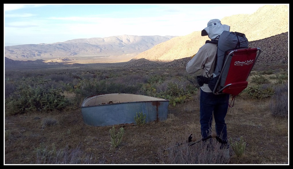 IMG_0339 by tomteske, on Flickr IMG_0339 by tomteske, on Flickr
 Feed Trough by tomteske, on Flickr Feed Trough by tomteske, on Flickr
Tarantula.
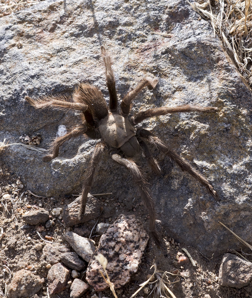 Tarantula by tomteske, on Flickr Tarantula by tomteske, on Flickr
This guy was hopping all over camp and acting generally frenetic. You have a name for this guy, Ziphius?
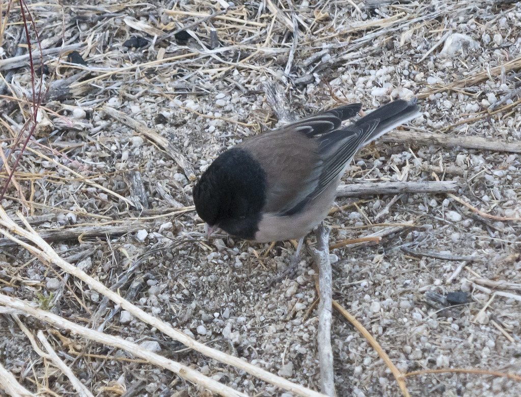 Black Headed Bird by tomteske, on Flickr Black Headed Bird by tomteske, on Flickr
The final day we headed by a site Daren found on a previous trip with four metates and two soda bottles, a Pepsi and Coke.
 One of Four by tomteske, on Flickr One of Four by tomteske, on Flickr
Another mine with rock walls.
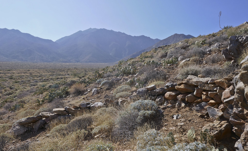 Mine Wall by tomteske, on Flickr Mine Wall by tomteske, on Flickr
Found this on GE a while back. We both had a hard time finding it on the ground. Looks like an old ranching house.
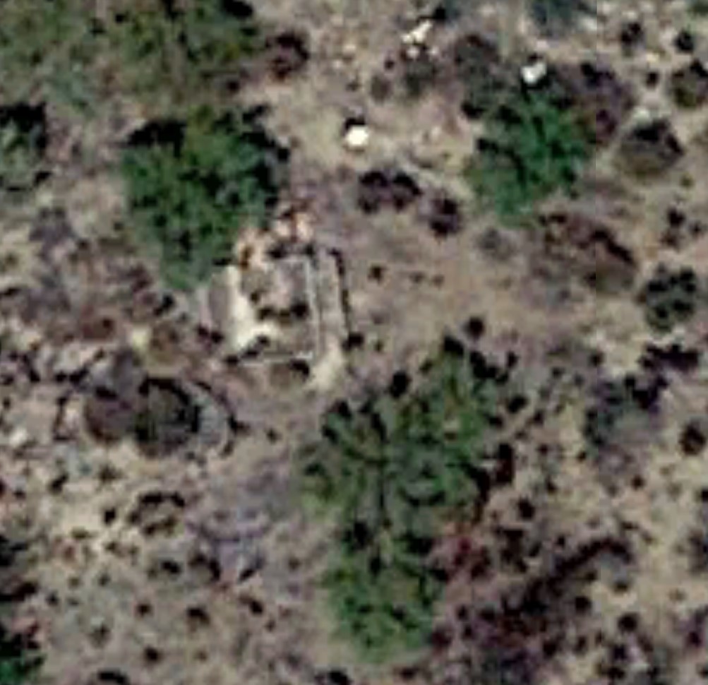 Structure by tomteske, on Flickr Structure by tomteske, on Flickr
 Foundation by tomteske, on Flickr Foundation by tomteske, on Flickr
Nice bug.
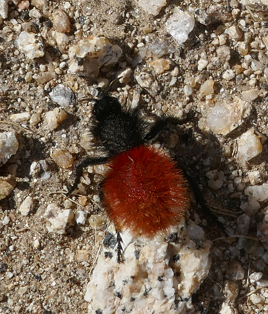 Black and Red by tomteske, on Flickr Black and Red by tomteske, on Flickr
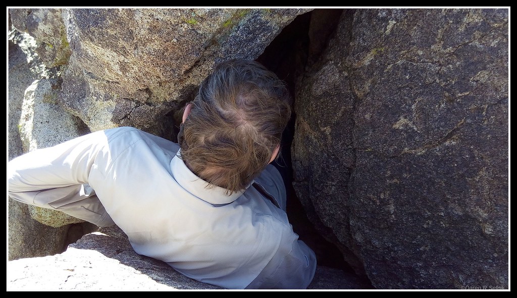
Trying to enter a rock shelter with limited success.
 IMG_0341 by tomteske, on Flickr IMG_0341 by tomteske, on Flickr
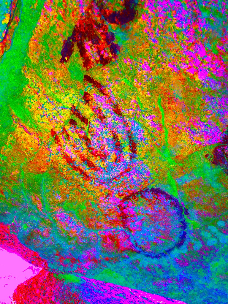
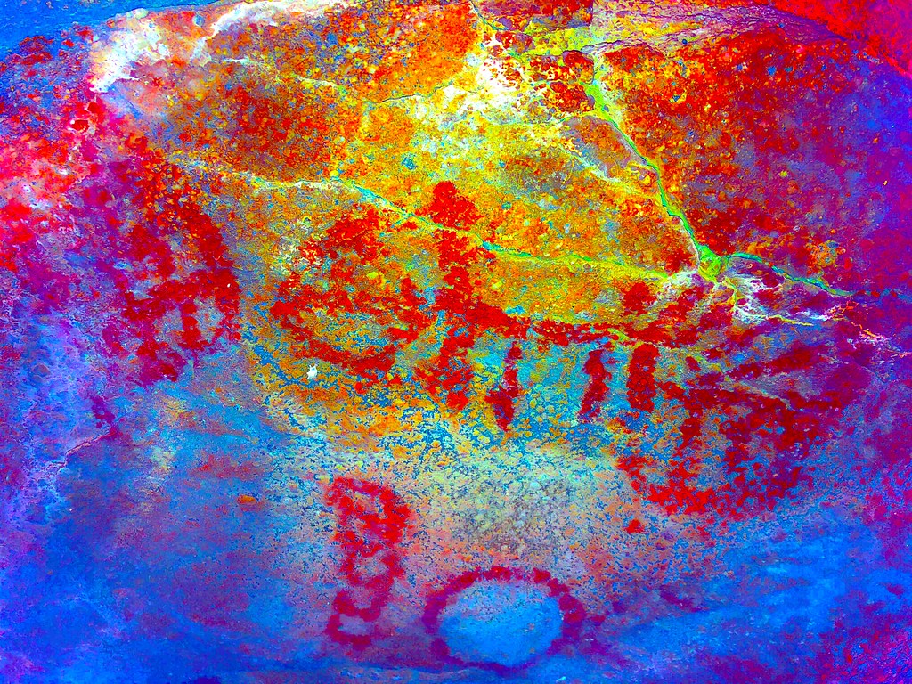
Worth the squeeze.
 IMG_0933 by tomteske, on Flickr IMG_0933 by tomteske, on Flickr
 IMG_0903 by tomteske, on Flickr IMG_0903 by tomteske, on Flickr
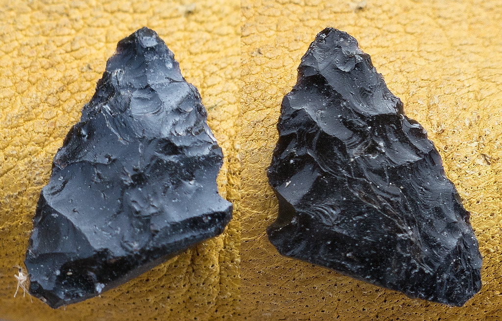
We found and/or relocated a number of points. Here's a few. Seeing how these were created and re touched is quite fascinating. Almost tempted to carry a real camera and macro lens with me next time 
Broken obsidian Cottonwood point.
 Potrero Point 1 by tomteske, on Flickr Potrero Point 1 by tomteske, on Flickr
Broken tip of a Paleo or Archaic point/dart.
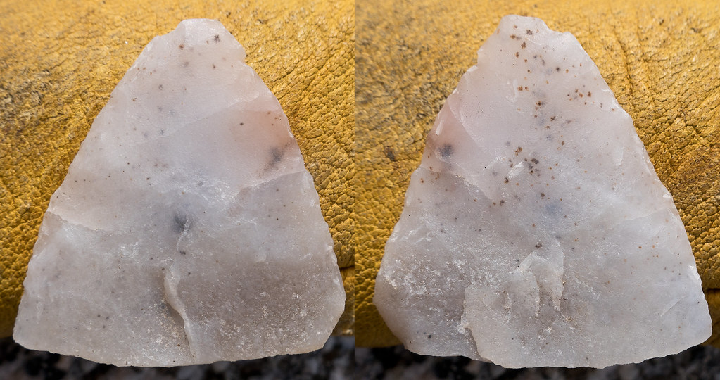 Potrero Point 2 by tomteske, on Flickr Potrero Point 2 by tomteske, on Flickr
I'm thinking this point was a nice obsidian Cottonwood that broke and was attempted to be retouched into a Desert Side Notch but abandoned.
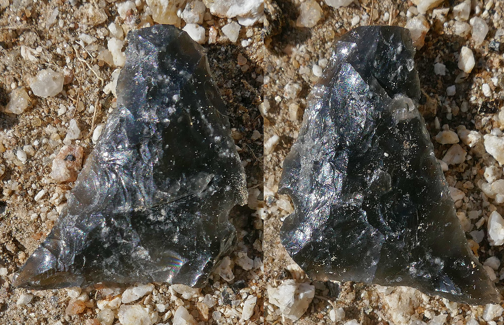 Potrero Point 3 by tomteske, on Flickr Potrero Point 3 by tomteske, on Flickr
About 21 miles, 2.7K gain/loss and another great time in the desert. Enjoy. Tom (All the pics with a white border are Daren's) |
11/29/2018
Topic:
The Potrero Three Day BP
tommy750
|
tekewin wrote:
Awesome!
I think your bug is a velvet ant, a sort of wingless wasp. Supposed to have one of the longest stingers of any insect. The Indian artifacts are sweet. +1 for Jim Beam as a camping essential. You guys have it all figured out.
Think you're right Tekewin. And nothing better than a couple swigs after a long day of hiking  |
12/1/2018
Topic:
The Potrero Three Day BP
tommy750
|
Buford wrote:
Cool trip. I like all the arrowheads. I have yet to find one mostly intact.
Yeah, I think we're about 50-100 years too late to see a lot of intact points out there. Most of the areas with old ranching have been picked pretty clean including Potrero. Even the broken ones are a nice find. |
12/2/2018
Topic:
The Potrero Three Day BP
tommy750
|
Britain wrote:
Have that on my radar. They actually have parking now just south of the runway next to the Troutman Mountain. Looks like a nice pack.
Not sure whether that lot allows more than day parking. Only time I was ever over there, the gate that led out to the lot was closed. |
12/3/2018
Topic:
A return to the red desert
tommy750
|
Nice trip, Buford. Like the Horseshoe Canyon pics. Tom |